
Salt flats below sea level, the biggest tree on the planet, a volcano that last erupted just over a century ago and islands you can only reach by boat. California has more national parks than any other state, and picking between them is harder than it looks.
Look at a map of California and you’ll find nine of the 63 national parks in the USA. Alaska has eight and Utah five, and nowhere else comes close.
Death Valley and Joshua Tree were the heart of a November loop I drove through the southern deserts. Yosemite got three days on my drive up the West Coast, the redwoods came near the end of that same trip, and I’ve also made it to Sequoia and Kings Canyon.
Here are the best national parks in California, what each does best, what it costs to get in and what’s closed right now, starting with the quick version.
| Park | Best for | Car entry (7 days) | Best time |
|---|---|---|---|
| Yosemite | Granite walls and waterfalls | $35, plus $100 per non-US resident | May to October |
| Death Valley | Desert landscapes and dark skies | $30 | November to March |
| Joshua Tree | Boulders, Joshua trees and stargazing | $30 | October to April |
| Redwood | The tallest trees on Earth and a wild coast | Free | May to October |
| Sequoia | The biggest trees on Earth | $35 for both parks, plus $100 per non-US resident | June to October |
| Kings Canyon | A deep glacial canyon with fewer crowds | As Sequoia | Late April to mid-November |
| Lassen Volcanic | Volcanoes and boiling mud pots | $30 ($10 in winter) | July to October |
| Pinnacles | Rock spires, talus caves and condors | $30 | March to May, October to November |
| Channel Islands | Island hikes and marine life | Free (boat fare extra) | Spring and autumn |
The best national parks in California
Yosemite National Park
Best for: big granite, big waterfalls and bucket-list hikes

Ever seen Free Solo? Then you’ll know El Capitan, the 3,000ft wall of granite that Alex Honnold climbed without a rope. Driving into Yosemite Valley, it’s impossible not to fall for that cliff, the 2,425ft drop of Yosemite Falls and the sheared-off curve of Half Dome. The park has a quieter side too: the 500-plus giant sequoias of the Mariposa Grove, the views from Glacier Point and the little-known Royal Arch Cascade.
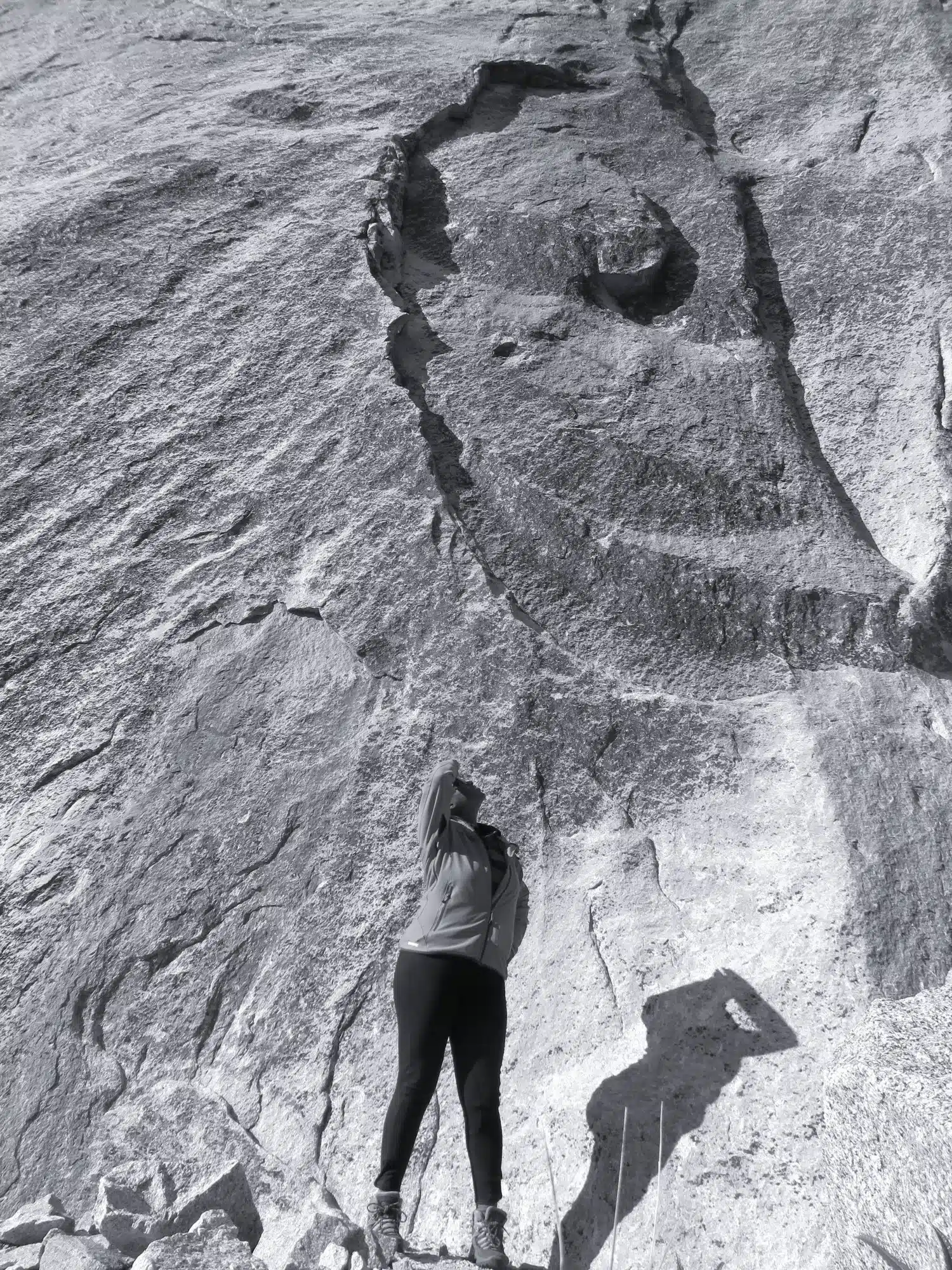
I spent three days here as a detour from my drive up the West Coast, enough for the valley floor, Glacier Point and the sequoias without rushing, and my 3 day Yosemite itinerary lays it out. There’s no entry reservation system in 2026, but on top of the $35 car pass, non-US residents aged 16 and over now pay a $100 surcharge each. Tioga Road, the high route east over the Sierra, is shut by snow from autumn until late spring or early summer.
Hike Half Dome
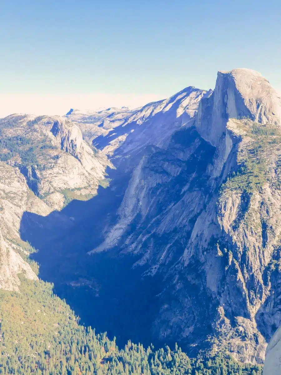
Half Dome is the bucket-list hike: 14 to 16 miles and 4,800ft of climbing, finishing on steel cables up the bare granite. You need a permit, either from the preseason lottery (1 to 31 March) or the daily lottery, which runs two days before each hike. The cables are only up from late May to mid-October.
Read Next
Ski out to Glacier Point
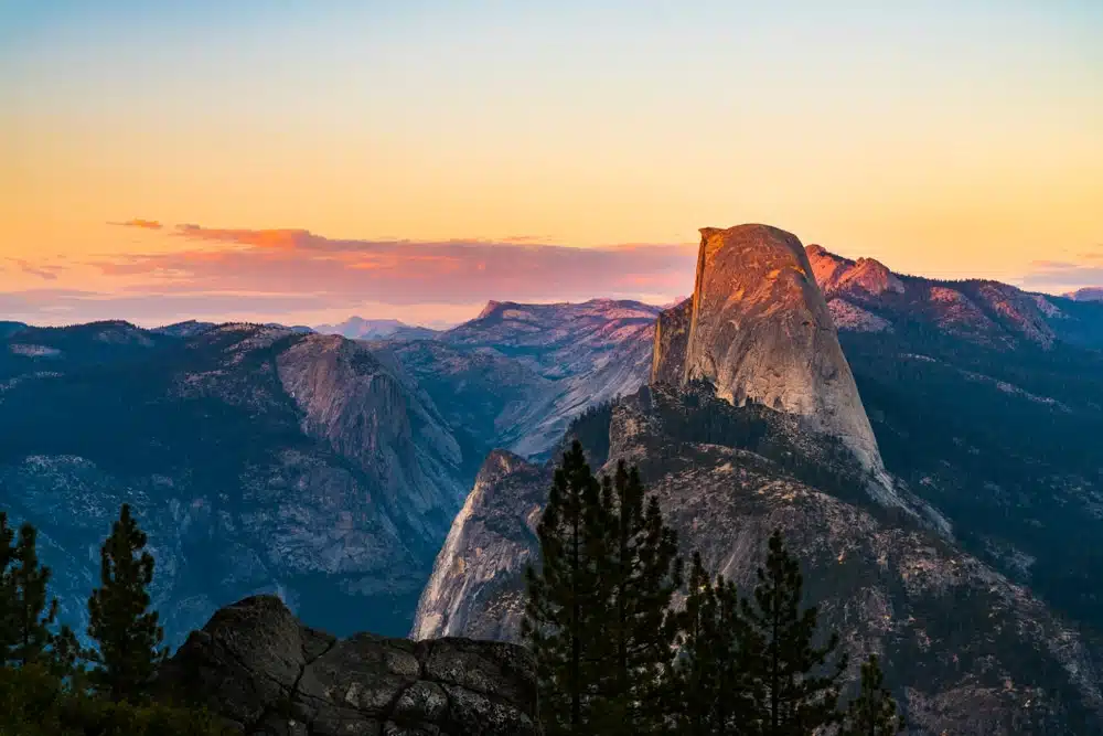
In winter, Glacier Point Road closes to cars beyond Badger Pass, and you can cross-country ski the 10.5 miles out to the point. It’s a 21-mile round trip, so pack warm layers, food and plenty of water.
Walk to Dewey Point

For dramatic views of Cathedral Rocks and El Capitan without the crowds, take the moderate 7.4-mile walk to Dewey Point from Glacier Point Road.
Where to stay: The Ahwahnee is the grand 1927 lodge in the valley. Mariposa and Groveland are cheaper, an hour or more away.
Death Valley National Park
Best for: otherworldly landscapes and some of the darkest skies in the country
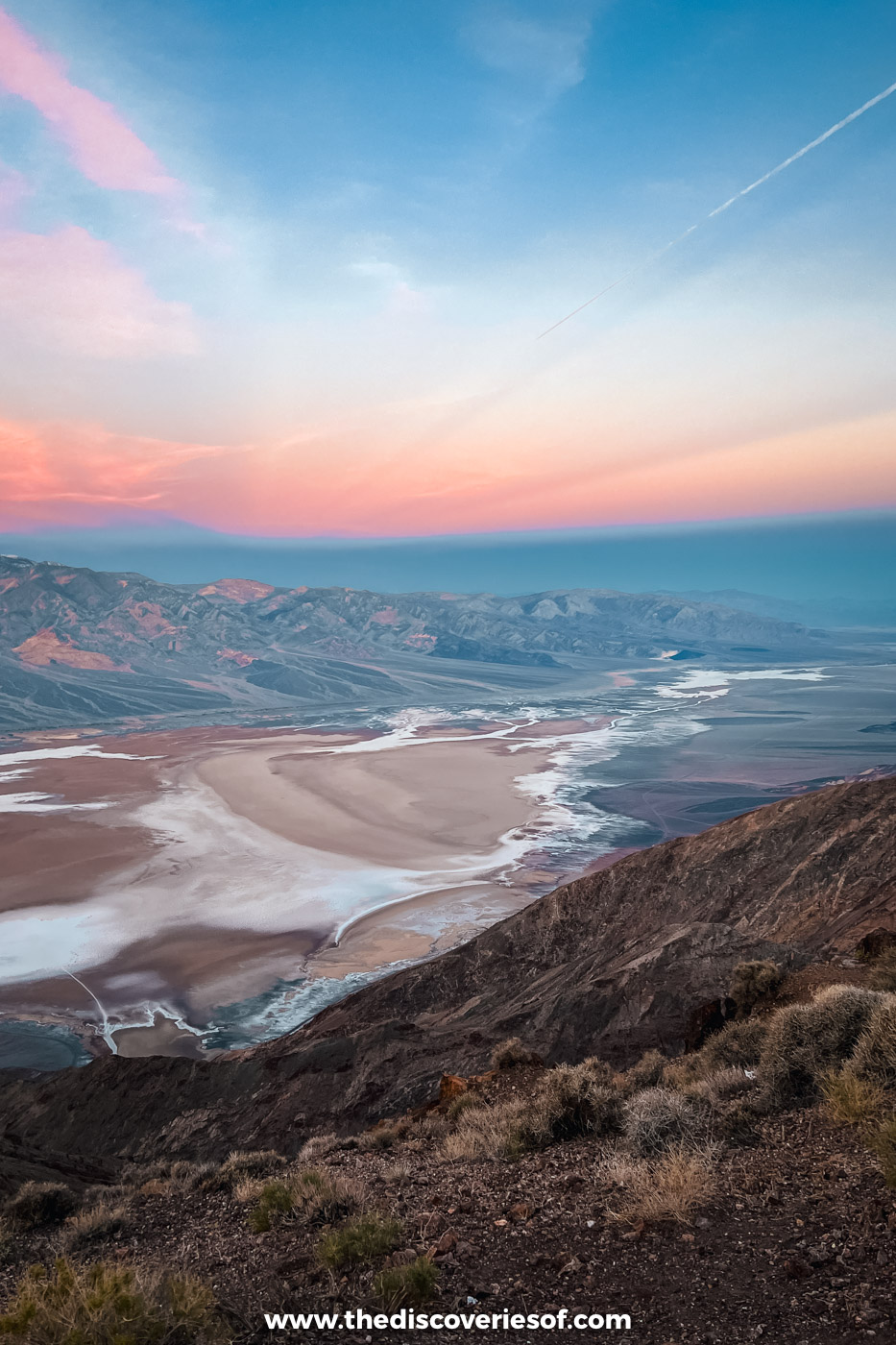
Death Valley ranks among my favourite places in the whole state, and it looks more like Mars than California. Yes, its 5,000-plus square miles hold salt flats, rattlesnakes and scorpions, and in July 1913 Furnace Creek hit 134°F, still the highest air temperature recorded anywhere on the planet. But the sunrises, canyons and night skies show a softer side.
I based myself across the Nevada border in Pahrump and drove in every day for three days. A seven-day car pass costs $30, card only, with no non-resident surcharge.
Top Tip
Ubehebe Crater and the North Highway reopened in December 2025 after flood repairs, but Titus Canyon is closed until at least May 2027, and the only way to visit Scotty’s Castle for now is a guided tour of the outside, run most weekends from October to April.
Catch sunrise at Dante’s View
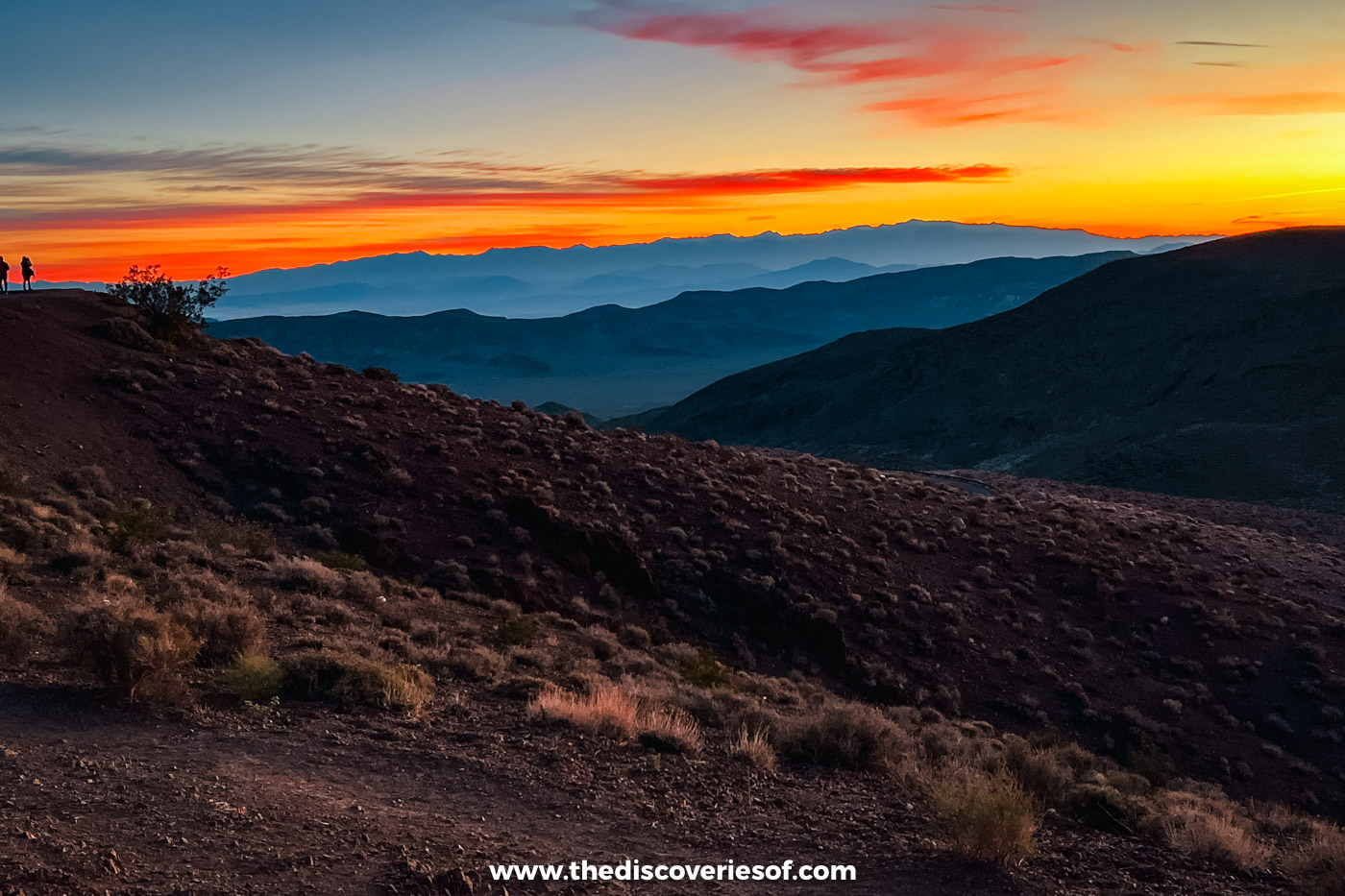
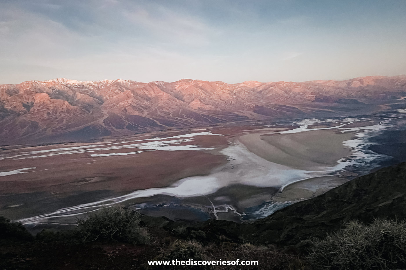
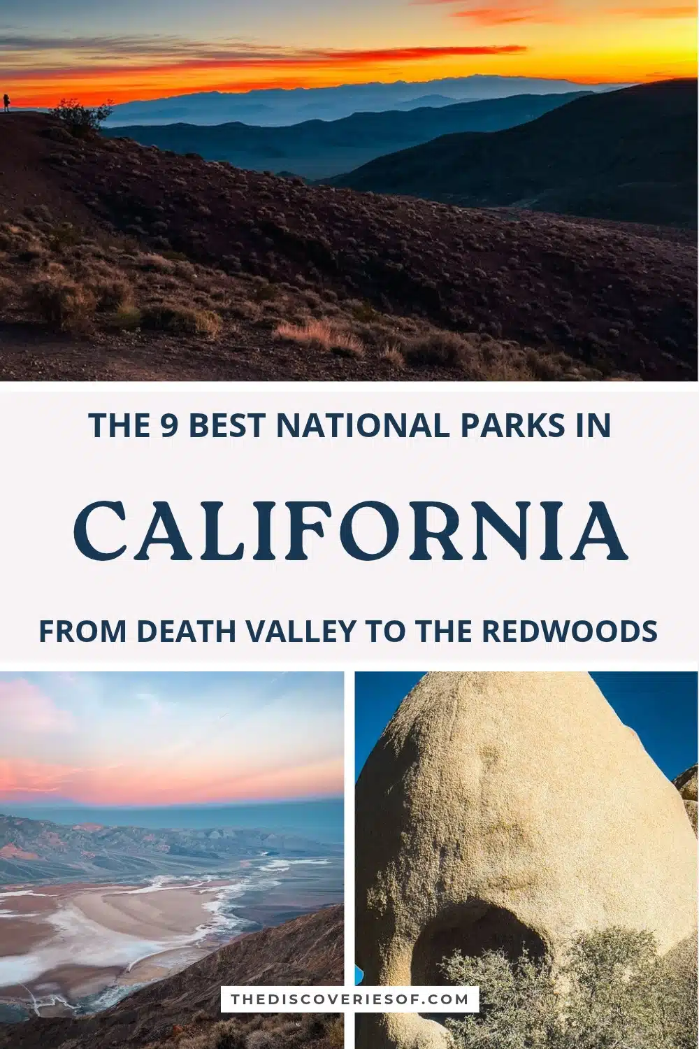
Dante’s View sits 5,575ft above Badwater Basin, about 45 minutes’ drive from Furnace Creek, and it’s my favourite sunrise spot in the park. I dragged myself up at 4am, and it was worth it: the sky went from pastel pink to a blaze of orange and red over the Panamint Range. It’s freezing before the sun rises (I genuinely thought my ears might fall off), so bring a hat and a hot drink. My Death Valley sunrise and sunset guide has the times for every month.
Walk out onto Badwater Basin
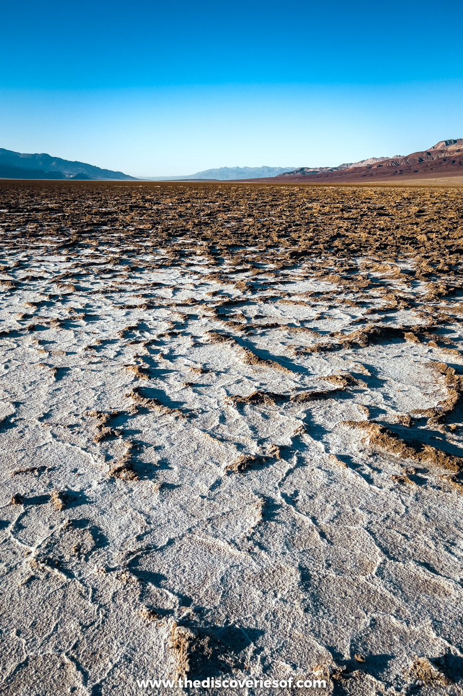
Every national park needs a claim to fame, and Badwater Basin, 282ft below sea level, is the lowest spot in North America. The boardwalk only reaches the edge, so I followed the worn path out across the salt, around 1.8 miles there and back, to where the crust breaks into hexagons. I also stopped at the Devil’s Golf Course, a short drive north: jagged rock salt so sharp you’re better off admiring it from the edge.
Climb the dunes, from Mesquite Flat to Eureka
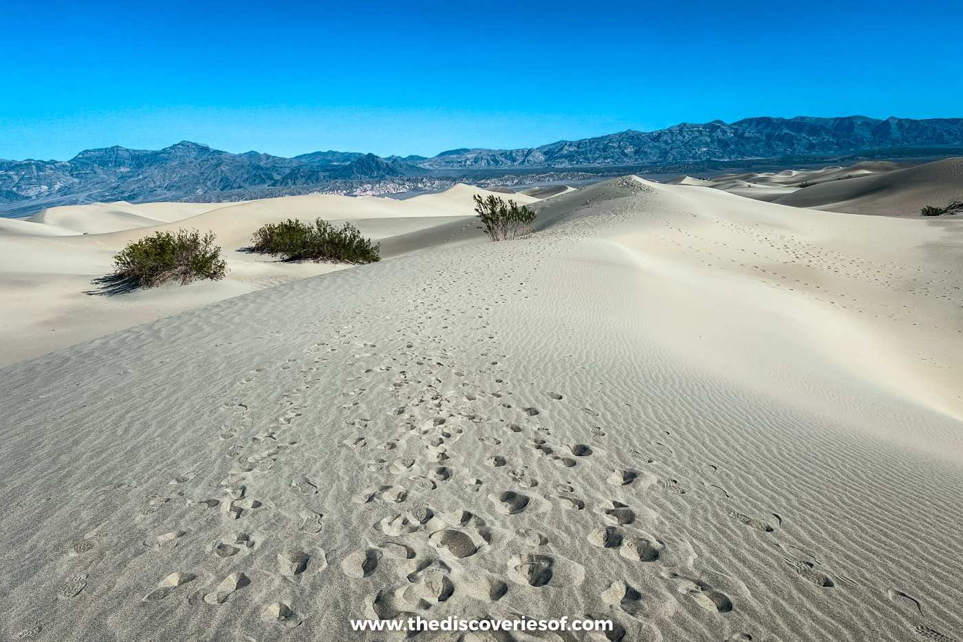
Of the park’s five dune fields, the Mesquite Flat Sand Dunes, just outside Stovepipe Wells, are the easiest to reach. Come back after dark: under a sky full of stars, they left me speechless, which doesn’t happen often. I also made the long drive to the Eureka Dunes in the far north-west, the most beautiful in the park in my opinion and, at more than 680ft, the tallest in California. The final stretch of road is gravel, so give it most of a day.
Stay up for the stars
Few places in the US get darker than this park after sunset, and DarkSky International gives it its top grade, Gold Tier. My best nights were on the Racetrack Playa, the dry lakebed where rocks slide across the mud, and out by Ubehebe Crater. The Racetrack is 26 miles down a rough, washboarded dirt road from Ubehebe. I drove my rental car out there, but the park advises high clearance and sturdy tyres, punctures are common, and many rental contracts now ban unpaved roads, so check yours and carry a full-size spare. My Death Valley stargazing guide covers the best months and moon phases.
Where to stay: I slept at the Holiday Inn Express & Suites in Pahrump, a decent mid-range option at a fraction of the price of the in-park hotels, with Furnace Creek an hour’s drive away. For a splurge, the 1920s Inn at Death Valley at Furnace Creek has a spring-fed pool.
Joshua Tree National Park
Best for: giant boulders, spiky trees and stargazing
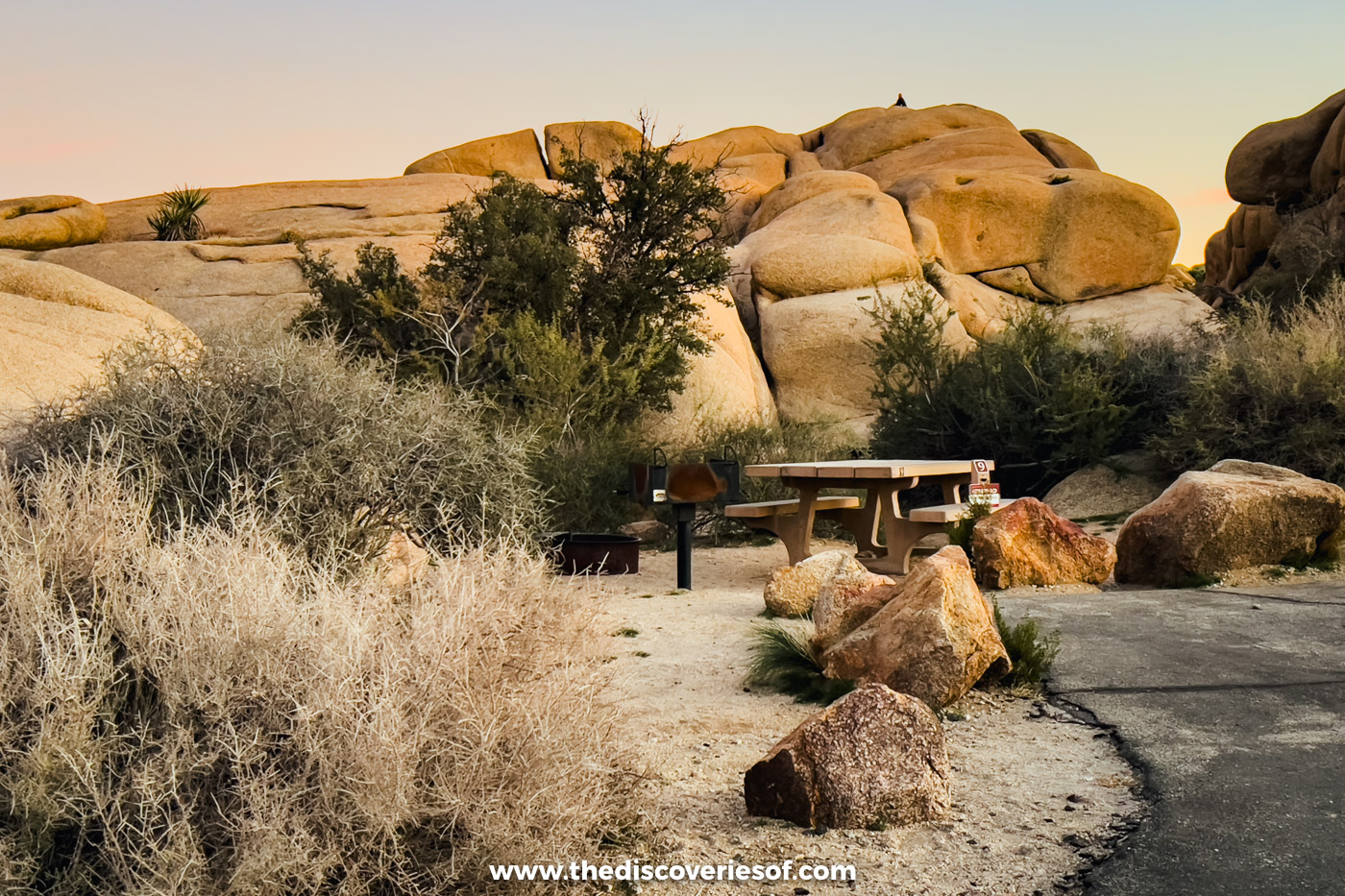
I’m a huge fan of Joshua Tree. Palm Springs, about an hour from the West Entrance, was my base for day trips into the park, yet at night, out among the rocks, you’d never guess a big city was so close.
The park covers almost 800,000 acres where the Mojave Desert meets the Colorado Desert. The higher, cooler west is Joshua tree and boulder country, with rock climbing at Hidden Valley and plenty of hiking trails, while Pinto Basin Road heads south-east to the Cholla Cactus Garden. A car pass is $30 and lasts a week.
Top Tip
The Geology Tour Road has been closed by flood damage since late October 2026, and the Oasis of Mara trail is closed beyond the oasis.
Scramble around the rock formations
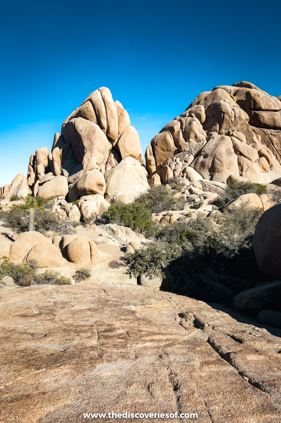
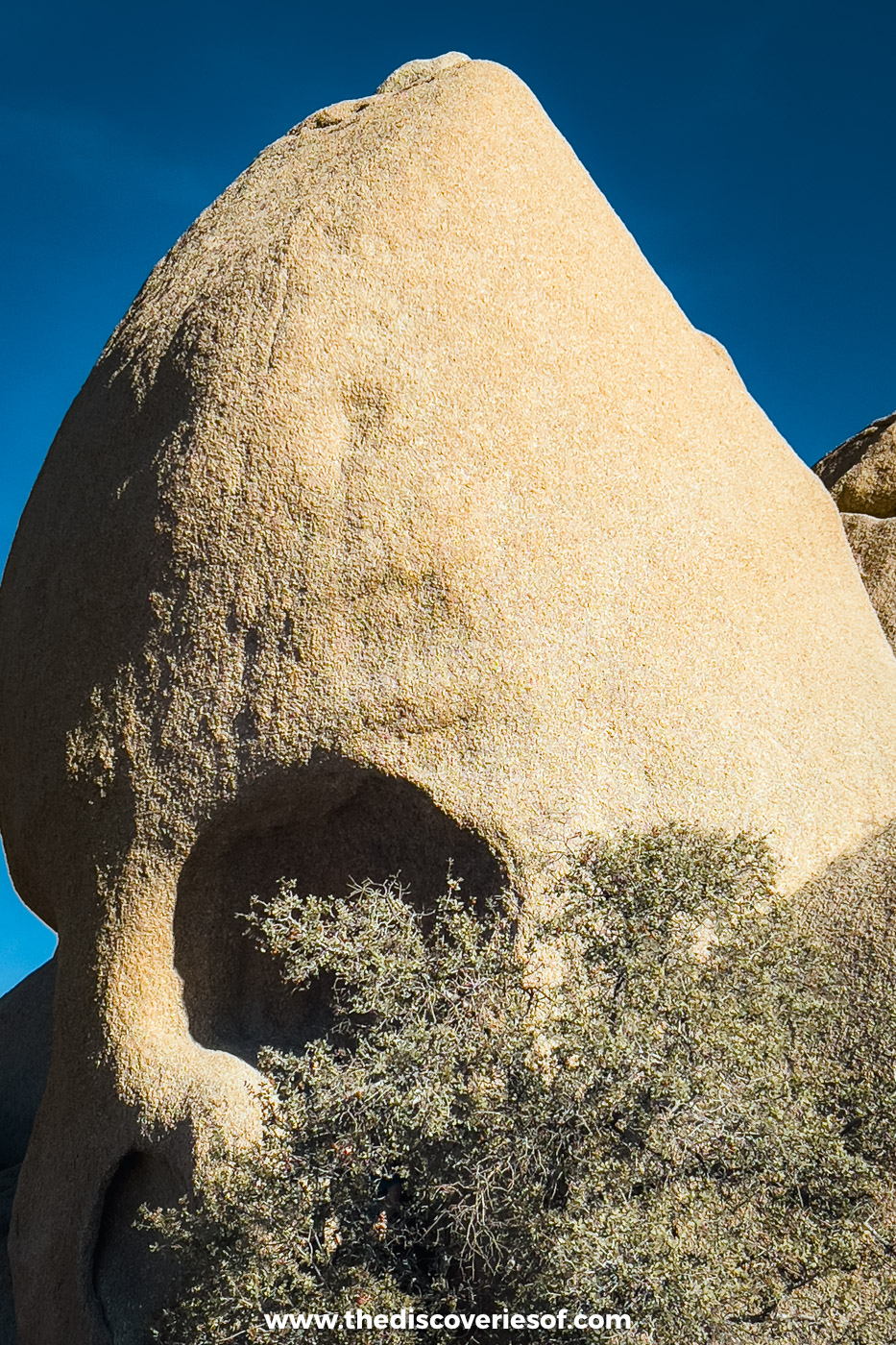
The rocks are the stars here. I walked to the eerily human Skull Rock, on a 1.7-mile loop from Jumbo Rocks or a few steps from the road, wandered the 1-mile loop through Hidden Valley, and found Heart Rock near the Arch Rock trail. For the best view of the lot, drive up to Keys View (5,185ft) for sunrise. I’ll never forget watching the first light turn the whole viewpoint gold.
Walk among the cholla
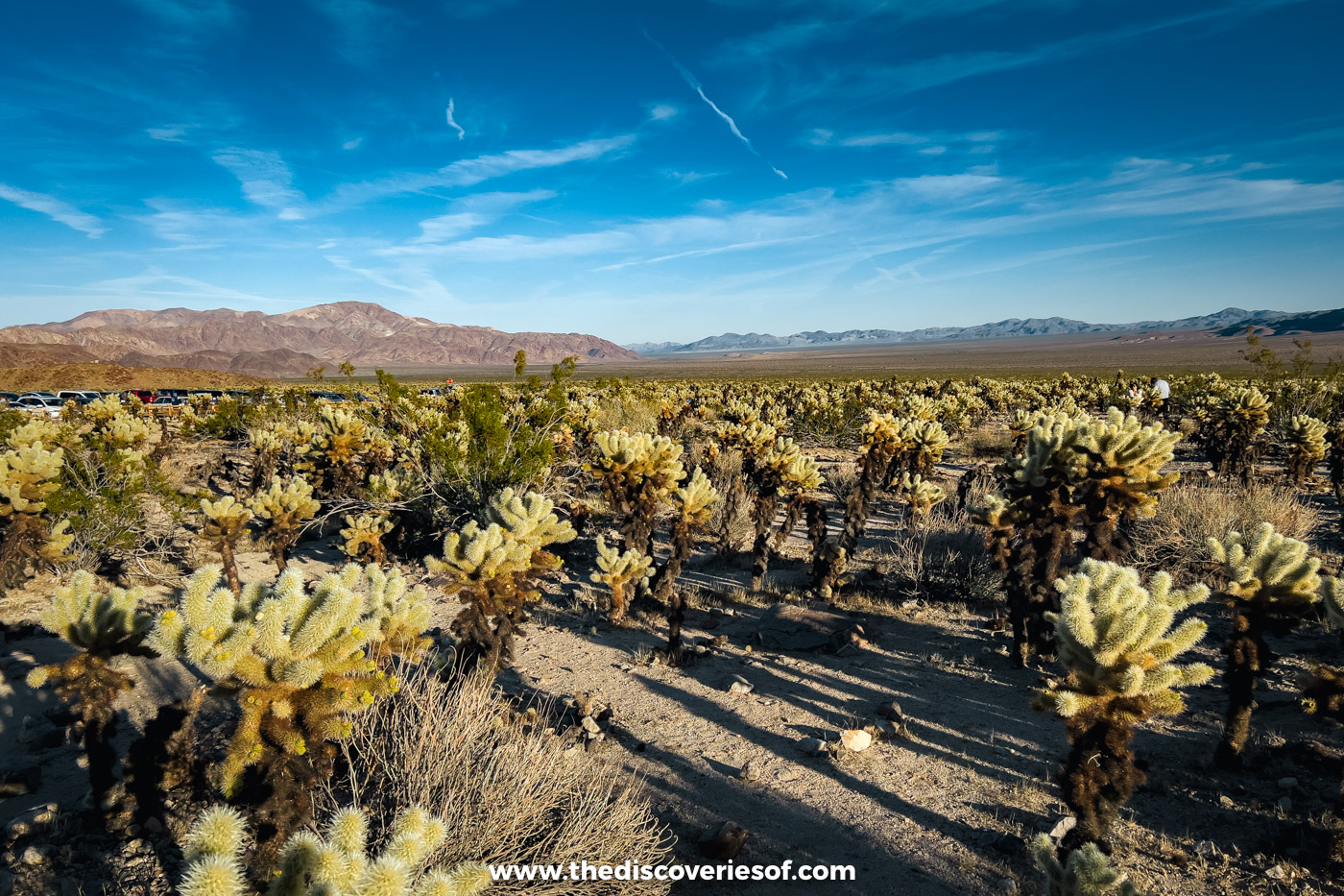
The Cholla Cactus Garden is thousands of teddy bear cholla packed together beside Pinto Basin Road, with a quarter-mile trail through the middle. They look soft. They aren’t, and the spines detach at the lightest touch, so wear closed shoes. The trail was shut for improvements in early 2026, but you’ll see cholla along the road either way.
Go stargazing

Since 2017, the park has held International Dark Sky Park status, so stargazing in Joshua Tree is a must, and I stayed out for the stars on my own visit. A night in one of the nine campgrounds gets you the best access; reservable sites open six months ahead on Recreation.gov.
Where to stay: I based myself at The Cole in Palm Springs, an adults-only boutique bolthole with a pool. Closer in, Sacred Sands, a mile from the West Entrance, has private patios with hot tubs facing the desert.
Redwood National Park
Best for: the tallest trees on Earth and a wild, empty coastline
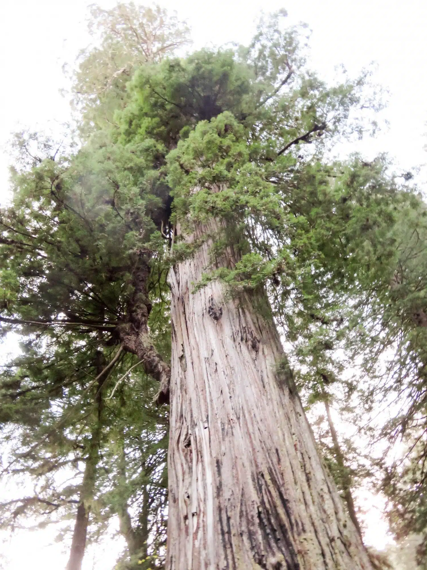
The Redwood National Park was a highlight of my whole West Coast drive, and visiting was a real eye-opener. Highway 101 runs through the parks between Orick and Crescent City, past nearly 39,000 acres of old-growth forest, and its coast redwoods are the world’s tallest trees, the record holder about 380ft. Around them are rugged coastline with noisy seal colonies, prairies with Roosevelt elk, and quiet woodland.
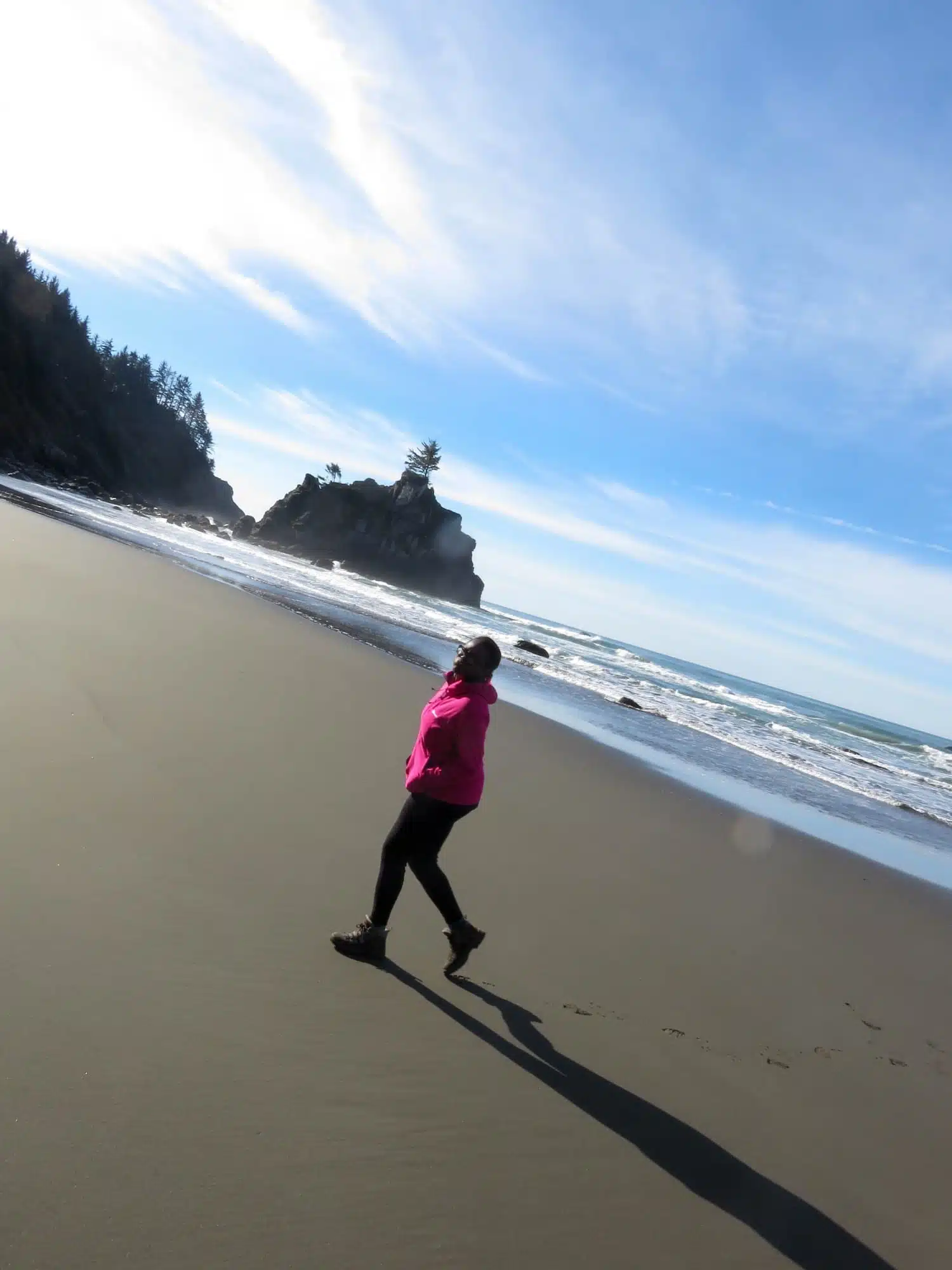
Of all the walks, the Coastal Trail from Klamath was my favourite. It follows the cliffs to Hidden Beach, almost always empty but for driftwood and pebbles, then climbs towards the mouth of the Klamath River. Don’t miss Tall Trees Grove either: the 4.5-mile round trip needs a free permit, bookable online up to 180 days ahead.
Top Tip
The park is run jointly with three state parks, Del Norte Coast, Jedediah Smith and Prairie Creek Redwoods. Entry to the national park is free, though a few state park campgrounds and beaches have day-use fees.
Walk the Lady Bird Johnson Grove

Named after the First Lady, who campaigned for the park when it was created in 1968, this hillside grove has a 1.5-mile loop through old-growth redwoods, 2.5 miles up Bald Hills Road. The car park fills from late morning in summer.
Wade through Fern Canyon

You might recognise the 50ft fern-covered walls of Home Creek from The Lost World: Jurassic Park. An easy mile or so of walking, with some wading, covers most of it. Between mid-May and mid-September, driving in takes a free reservation and a $12 day-use fee, paid in cash or by cheque.
Look for elk at Elk Meadow

Roosevelt elk often graze at Elk Meadow, just north of Orick, especially early and late in the day. Keep at least 25 yards away, and more during the autumn rut.
Where to stay: I checked into the Klamath Holiday Inn Express (not Klamath Falls, which is in Oregon). It’s nothing special, but it’s handy for the Klamath River Overlook and the walk to Hidden Beach. In Crescent City, Anchor Beach Inn has comfortable rooms at a fair price.
Sequoia National Park
Best for: standing beneath the biggest trees on the planet

The coast redwoods may be taller, but for sheer size the giant sequoias win. Sequoia and Kings Canyon are separate parks, run together since 1943 and covered by one pass, stretching over 1,300 square miles of the Sierra Nevada south of Yosemite. I’ve been to both. Entry is $35 per car for seven days, and as at Yosemite, non-US residents aged 16 and over also pay the new $100 surcharge each.
Hike in the Giant Forest

The star here is General Sherman, the world’s largest tree by volume, a mile there and back down a paved path. Carry on along the 2.7-mile Congress Trail past the House and Senate groups, then climb the 350-plus steps of Moro Rock for the view.
Drive through the Tunnel Log

A sequoia that fell across Crescent Meadow Road in 1937 was tunnelled the following year, and driving through it has been a road trip ritual ever since. The road isn’t ploughed in winter, and on summer weekends it’s shuttle only.
Where to stay: Silver City Mountain Resort has cosy cabins in the remote Mineral King valley, but its road is closed for the season until late May 2027. Year-round, Three Rivers by the main entrance has the most choice.
Kings Canyon National Park
Best for: a canyon deeper than the Grand Canyon in places, with a fraction of the visitors

Kings Canyon is the quieter half of the pair. Grant Grove, about an hour from the Giant Forest by road, is home to the General Grant Tree, one of the world’s largest trees and the Nation’s Christmas Tree since 1926. Beyond it, Highway 180 drops into one of the deepest canyons in North America.
Drive down to Cedar Grove
The granite walls of Cedar Grove are why John Muir called Kings Canyon a rival of Yosemite. The road down is open from late April or early May until early to mid-November. At the end of it, the flat loop around Zumwalt Meadow is one of the prettiest short walks in the Sierra.
Lassen Volcanic National Park
Best for: volcanoes, steaming vents and empty trails

Way up in Northern California, Lassen is one of the most underrated parks in the state: 166 square miles of hot springs, mud pots, alpine lakes and volcanoes, with a fraction of Yosemite’s crowds. Lassen Peak, one of the largest plug dome volcanoes on Earth, last erupted between 1914 and 1917, and the Lassen Peak trail climbs about 2,000ft to its 10,457ft summit in 5 miles there and back.
The 2021 Dixie Fire burned around two-thirds of the park, so watch for warnings about falling trees. The park highway closes to through traffic once the snow comes and usually reopens in late spring or early summer. Entry is $30 per car from mid-April to November and $10 in winter.
Hike to Bumpass Hell

The park’s biggest hydrothermal area, a basin of boiling pools, fumaroles and mud pots, is a 3-mile round trip with boardwalks over the hot ground. Snow often keeps the trail closed until midsummer.
Watch the night sky

Far from any city, Lassen has some of the darkest skies in the state, and it holds a Dark Sky Festival each summer.
Top Tip
Rangers lead astronomy talks in summer and snowshoe walks in winter. See the park’s ranger programmes page for dates.
Explore the lakes

Camp beside Manzanita Lake, with Lassen Peak reflected in it on a calm morning, or stop at Lake Helen below the summit trail.
Where to stay: The Manzanita Lake Camping Cabins open from late May to mid-October, and Drakesbad Guest Ranch from early June to early October. Year-round, Chester and Redding have the most choice.
Pinnacles National Park
Best for: rock spires, talus caves and California condors

Pinnacles only became a national park in 2013, making it California’s newest, but its rocks are far older. They formed from a volcano about 23 million years ago, and the San Andreas Fault has since carried them about 195 miles north of the rest of it. Few places in the country are better for spotting California condors, which were reintroduced here and soar around the High Peaks. There’s no road through the park, so pick the east entrance (from Hollister) or the west (from Soledad). Cars pay $30 for a week.
Top Tip
Come in spring or autumn. Summer days regularly top 100°F, and heavy rain can make the trails dangerous and flood the caves.
Explore the Bear Gulch Cave
On the east side, Bear Gulch hides a talus cave of giant boulders wedged into a narrow canyon. The walk through it to Bear Gulch Reservoir is about 1.5 miles there and back, partly in pitch darkness, so bring a torch. Parts of the cave close at times to protect the Townsend’s big-eared bats that roost there, and after storms, so check the cave status page first.
Hike the Condor Gulch and High Peaks loop
The best trail for the geology climbs Condor Gulch to the High Peaks and loops back to Bear Gulch, about 5.3 miles, with steep, narrow steps cut into the rock. Allow three to five hours, and look up: this is where the condors hang out.
Where to stay: The Pinnacles Campground by the east entrance has tent sites and tent cabins. For a hotel, Monterey is further but has more choice: the Monterey Plaza Hotel & Spa is central, with bay views and private parking.
Channel Islands National Park
Best for: island hiking, sea caves and marine life

What if you could hike and camp on what feels like your own private island, about an hour’s boat ride from Southern California? The national park covers five of the eight Channel Islands between Santa Barbara and Los Angeles. There are no roads, shops or hotels, so you explore on foot and carry what you need, and in return you get island foxes found nowhere else, elephant seals, dolphins and, in season, humpback and blue whales. Entry is free; you pay for the boat.
Top Tip
Book your boat both ways as early as you can: Island Packers runs the park’s ferries from Ventura and Oxnard. A wildfire burned part of Santa Rosa Island in May 2026, and the burned areas stay closed while they recover.
Hike to Smuggler’s Cove
On Santa Cruz Island, the largest of the five, the trail from Scorpion Beach crosses the island to the pebbly beach at Smuggler’s Cove. It’s a strenuous 7.5 miles there and back, timed around the boat, which only adds to the adventure.
Climb up to Anacapa Island

Anacapa, the closest island to the mainland, has a white lighthouse on the bluffs, wide ocean views and wildflowers in spring. From the dock it’s 157 steps up to the plateau, then about 1.5 miles of trails to Inspiration Point. Landing depends on the sea, so it’s never guaranteed.
Where to stay: Ventura and Oxnard are the handiest bases for an early boat. For something smarter, Hilton Santa Barbara Beachfront Resort has an outdoor pool and a wine-tasting room, about 40 minutes up the coast.
How to plan a trip around California’s national parks
- Know the fees. Since January 2026, non-US residents aged 16 and over pay a $100 surcharge each at Yosemite and at Sequoia and Kings Canyon, in addition to the vehicle fee. The non-resident America the Beautiful pass ($250) waives both for everyone in your car, so it soon pays for itself. The resident pass is $80, and free-entry days are now for US residents only.
- Watch the seasons. Snow shuts Tioga Road, the road to Cedar Grove and the Lassen highway for months each winter, while Death Valley and Joshua Tree are at their best from autumn to spring and dangerously hot in summer.
- Pair the parks up. Sequoia and Kings Canyon share a pass, with Yosemite a few hours north. Death Valley and Joshua Tree make a desert trip together, and Redwood fits a coast drive like my West Coast road trip. The drive times are in my California road trip guide.
- Respect the wildlife and the weather. Black bears live in the Sierra parks, so use the food lockers, and in the deserts, keep several litres of water each in the car, even for short walks. Roads and trails close at short notice after storms and fires, so check each park’s conditions page on the morning you go.
Map
Read next
- The best things to do in California
- The perfect California road trip itinerary
- The ultimate West Coast USA road trip itinerary
- Things to do in Death Valley National Park
- The best things to do in Joshua Tree
- A 10-day Southern California desert road trip
Love this? Save and share on Pinterest

Discover the top things to do, insider tips and hidden gems in our USA Travel Guides.
Read the guides →