

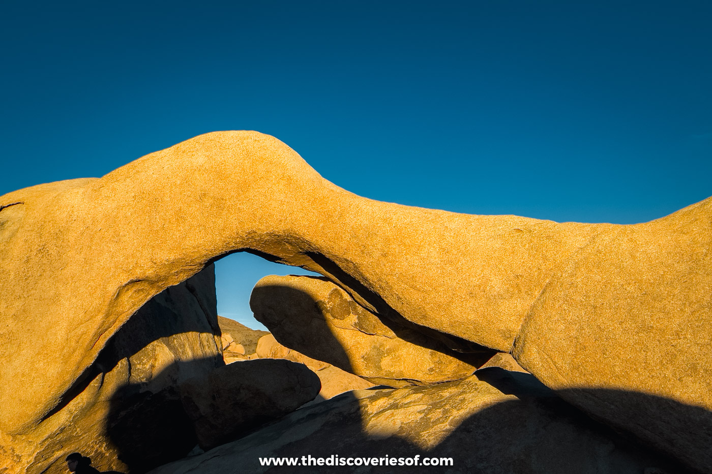
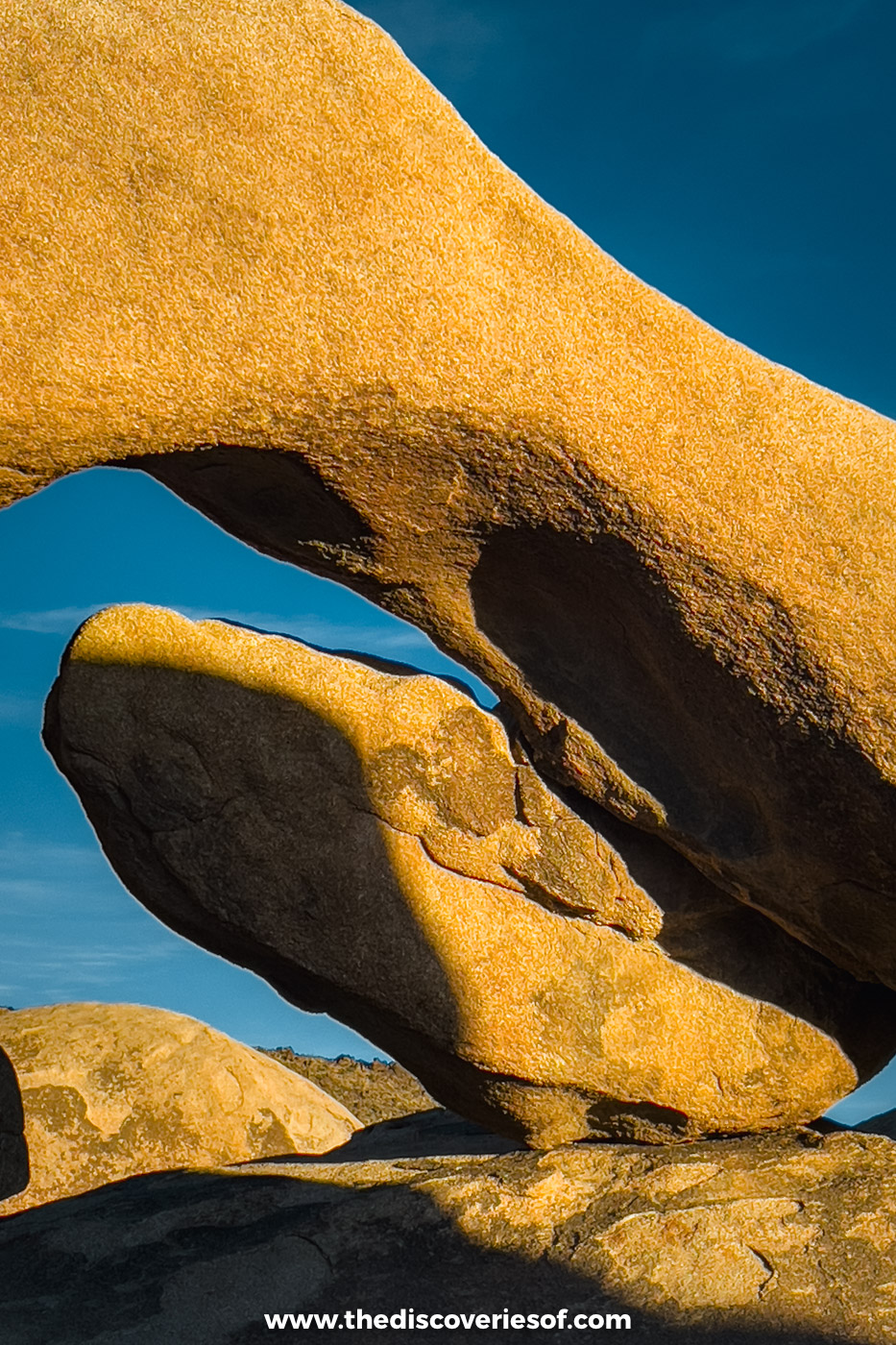
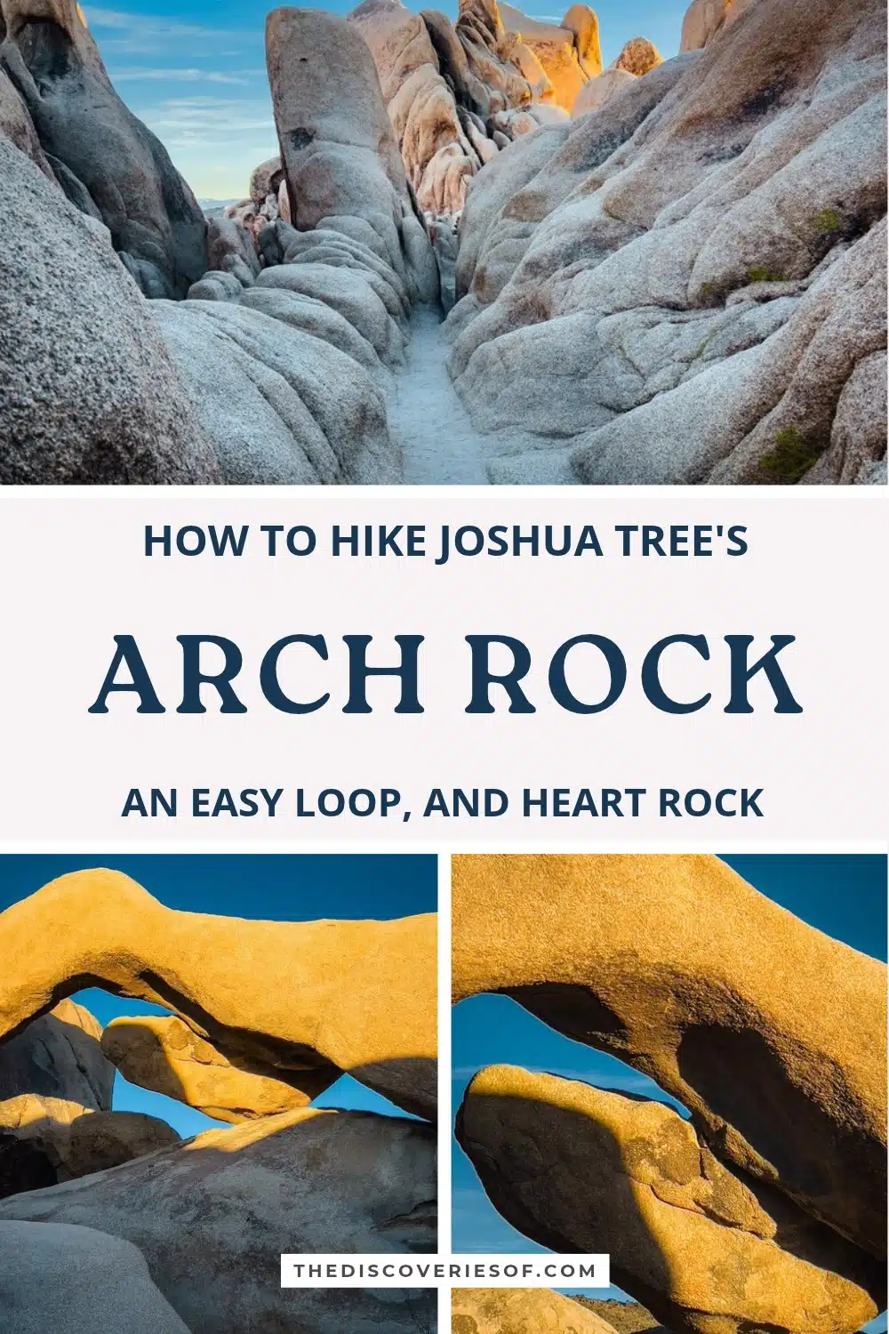
Arch Rock is a 30ft granite arch hidden in a maze of boulders on the eastern side of Joshua Tree National Park, at the end of a short, flat walk. Here’s where to park, which way to walk the loop, when the arch glows and how to find Heart Rock.
When it comes to the best things to do in Joshua Tree, hiking is certainly up there. I mean, you’re surrounded by acres and acres of impressive natural beauty and some of the coolest trails known to man: what’s not to love?
And, if it’s picturesque hikes you’re after, the Arch Rock trailhead is an epic starting point. This sought-after hike ends at one of the best expressions of Mother Nature in the park: a 30-foot-wide natural arch. It’s my favourite walk in the whole park, and I did it late on a November afternoon, when the granite was turning orange in the low sun.
Sounds tempting? I thought it might. And if you’re planning a few days of walking, my guide to the best Joshua Tree hikes covers 16 trails, from short classics like this one to the summits and palm oases.
Arch Rock at a glance
- Length: a 1.4-mile lollipop loop with about 100 feet of climbing
- Time: under an hour, or longer if you explore the boulders
- Difficulty: easy and family-friendly
- Trailhead: Arch Rock and Twin Tanks trailhead, Pinto Basin Road
- Facilities: a vault toilet and hiker register at the car park, but no water
- Entry: a park pass, $30 per car for seven days
- Dogs: not allowed on the trail
Hiking the Arch Rock trail, step by step
Start from the Twin Tanks trailhead
Twin Tanks is a day-use car park on the west side of Pinto Basin Road, and spaces go quickly, so arrive early on busy days. Prepare to get dirty, as the trail is sandy and rocky (AKA leave your fanciest clothes at home). It crosses the road (use the crosswalk), then runs for just over half a mile to the start of the short loop.
While you can hike this loop from any direction, I suggest taking the anticlockwise route, as it’s easier to spot the arch from this direction. The loop is about 0.2 miles, and the arch comes into view halfway round.
Fancy nerding out? Interpretive signs along the route explain how these granite boulders formed underground more than 100 million years ago. Pretty fascinating stuff, if you ask me. Keep your eyes peeled for Whale Rock and the cholla cacti along the trail, too.
Getting There
From the North Entrance at Twentynine Palms, drive 4.5 miles south on Park Boulevard, bear left onto Pinto Basin Road, and Twin Tanks is 2.2 miles on the right. From Palm Springs, allow about an hour and a quarter via Highway 62.
Walk the loop to Arch Rock
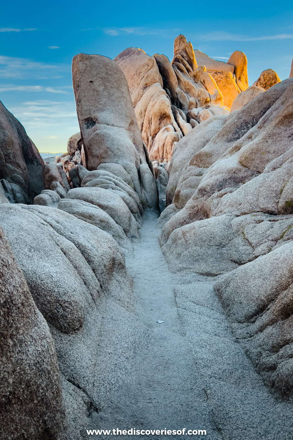
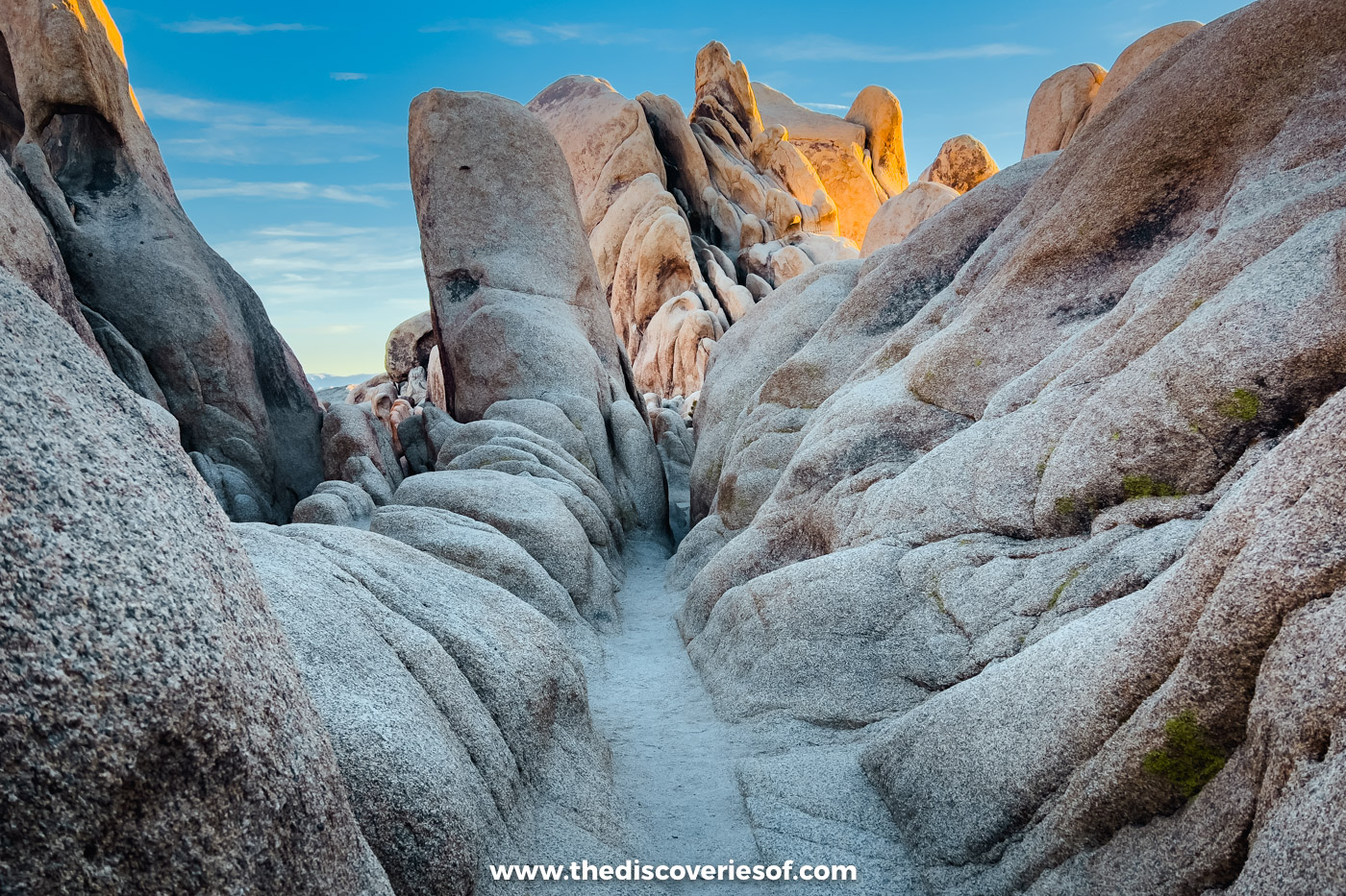
It’s no wonder that hiking to Arch Rock is a must-do in every Joshua Tree itinerary. The arch blends into the rocks until you’re almost underneath, so watch for the trail markers. And here’s my honest take: the arch is lovely, but it was the boulders around it that won me over. They’re smooth and rounded, stacked into strange shapes and split by narrow sandy passages you could happily lose an hour in.
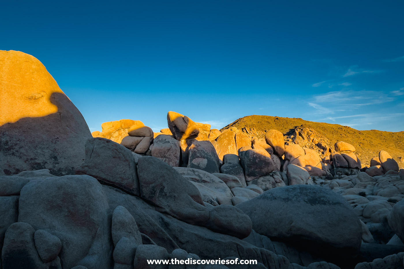
If you take on this trek in summer, take my advice and start before 9 am. There’s no shade, and an early start beats both the 100°F (38°C) heat and the crowds.
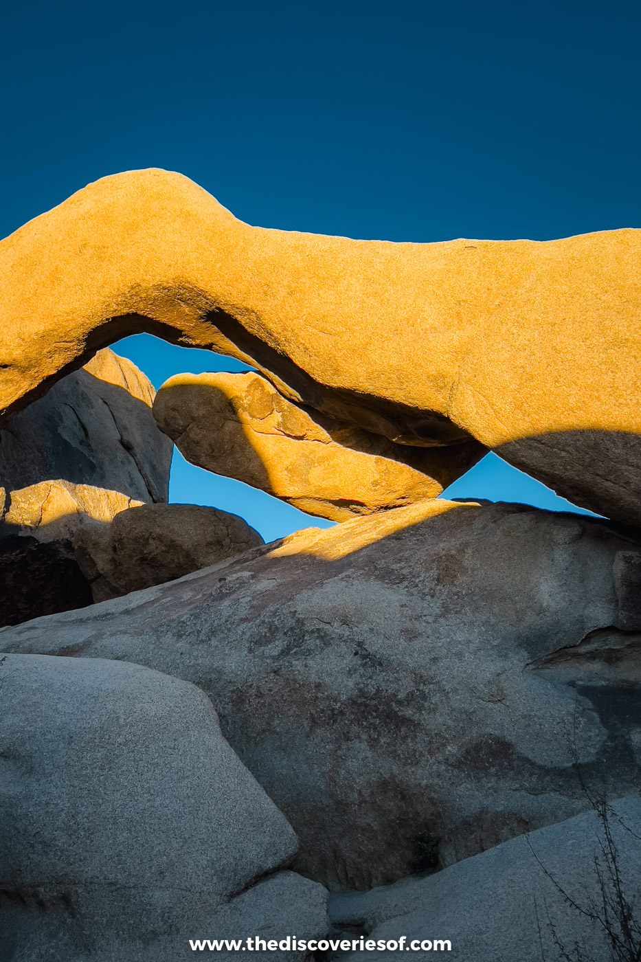
Alternatively, go just before sunset, when the arch is blanketed in an orange glow. That’s when I went, around half an hour before the sun went down, and the granite was glowing against a deep blue sky. You can check the sunset time on this website.
Scramble up for the views
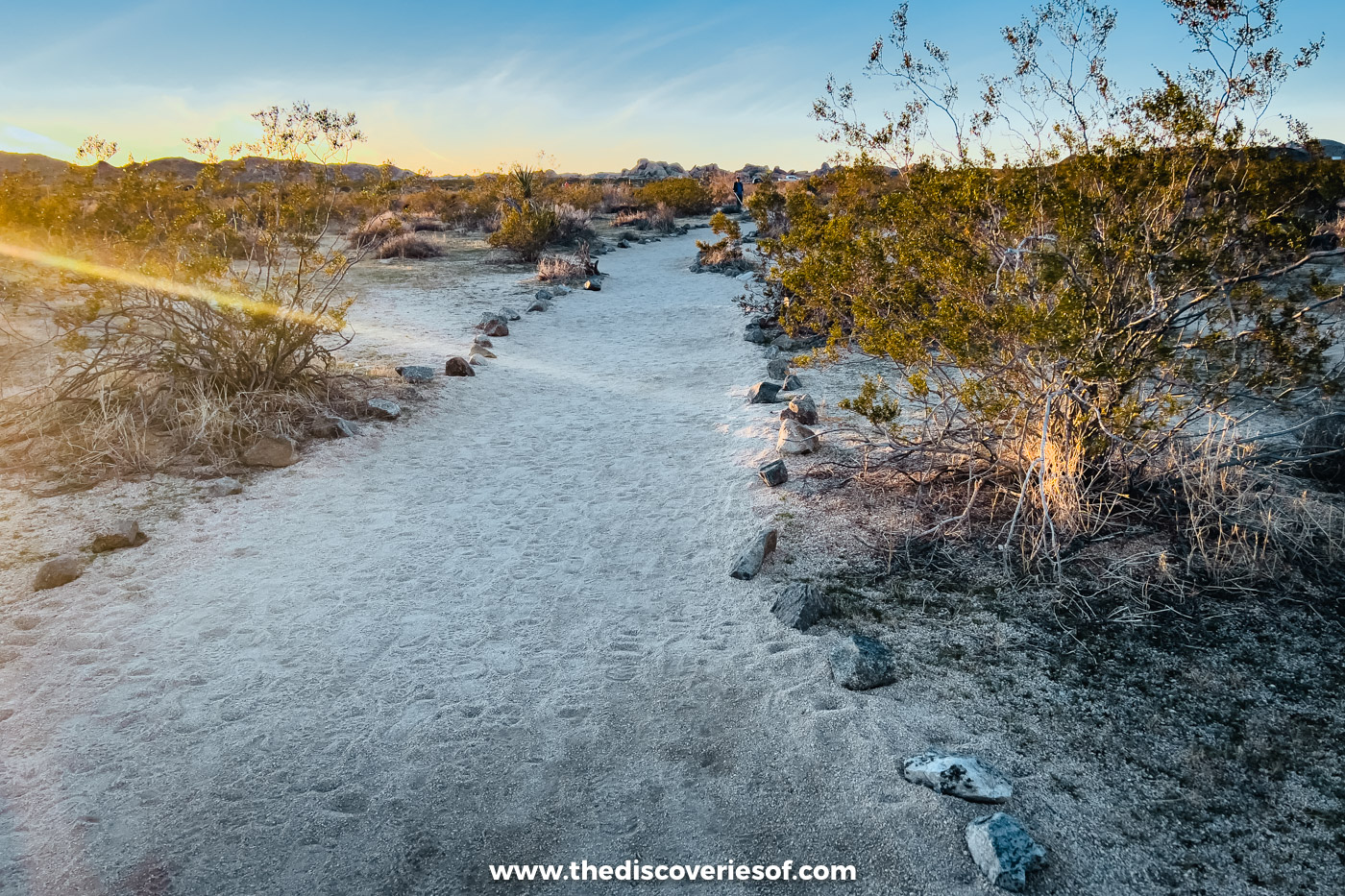
You can reach the top of the arch by carefully scrambling up through the surrounding boulders, for views over the desert and the maze of rocks below. The granite is grippy, but loose sand on it is slippery, and coming down is harder than going up.
Top Tip
The sunset here is nothing short of stunning, but I suggest you stick around for the park’s clear, dark night skies (it’s an International Dark Sky Park) and some stargazing. Bring a headtorch for the walk back.
Take the shortcut from White Tank Campground
If you’re camping at White Tank Campground, half a mile further down Pinto Basin Road, there’s a shorter route. Take the left fork of the campground road, and the trail starts beside campsite 9, about an eighth of a mile from the arch.
Note: Parking at White Tank Campground is for campers only: day-use parking for Arch Rock is not allowed.
Find Heart Rock on the way back
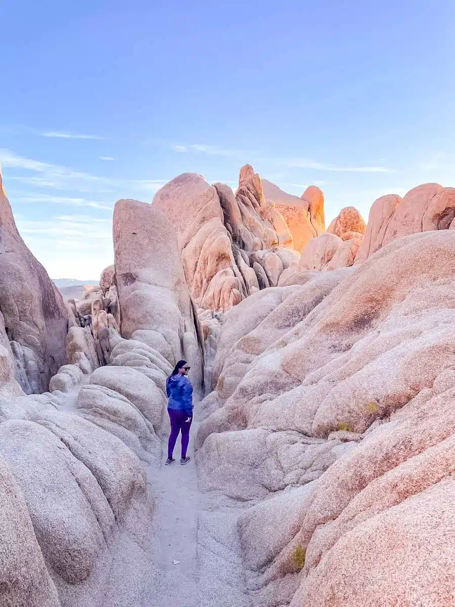
Heart Rock is a spectacular heart-shaped boulder about a 15-minute round trip from Arch Rock, reached by a short spur off the main path, signposted close to where the loop begins. It sits alone on a flat slab of rock, which makes it a superb place for photos.
I walked out to it after the arch, and I highly recommend heading here if you have time.
Practical tips for hiking Arch Rock
- October to May is the most comfortable time to walk here: my guide to the best time to visit Joshua Tree has the seasons in detail.
- Bring plenty of water, a sun hat and salty snacks, and check the forecast before you set off.
- Sturdy hiking shoes are a must for the sand and the boulders.
Arch Rock FAQs
How long is the Arch Rock trail?
It’s a 1.4-mile lollipop loop: just over half a mile each way from Twin Tanks, plus the 0.2-mile loop past the arch.
Can you take rocks from Joshua Tree?
No! Rocks, plants, animals and fossils in the park belong to everyone, and disturbing them is strictly prohibited.
Map
Read next
- Unmissable things to do in Joshua Tree
- Best Joshua Tree National Park hikes
- How to hike to Skull Rock in Joshua Tree
- A guide to the Hidden Valley trail
- An epic 3 days in Joshua Tree itinerary
- The best time to visit Joshua Tree National Park
Love this? Save and share on Pinterest

Discover the top things to do, insider tips and hidden gems in our USA Travel Guides.
Read the guides →