A week, about 1,000 miles and a brightly painted campervan called Bruno: this is my Atacama road trip to the lagoons of the Salar de Atacama and the high altiplano, from the Ojos del Salar and Laguna Chaxa to Pujsa, Tara and Quisquiro on Ruta 27, with what’s changed since and how to plan your own.
A few weeks before I reached the Atacama, I met a Chilean on the road and asked him what I should do there. Rather than give me a list of places to visit, he surprised me with a completely different answer.
“If you go to the Atacama Desert, you should hire a car or a camper and strike off on your own,” he said. “Most people stay in San Pedro de Atacama and go on tours. Doing it on your own is much better. You aren’t distracted by anything but your surroundings.”
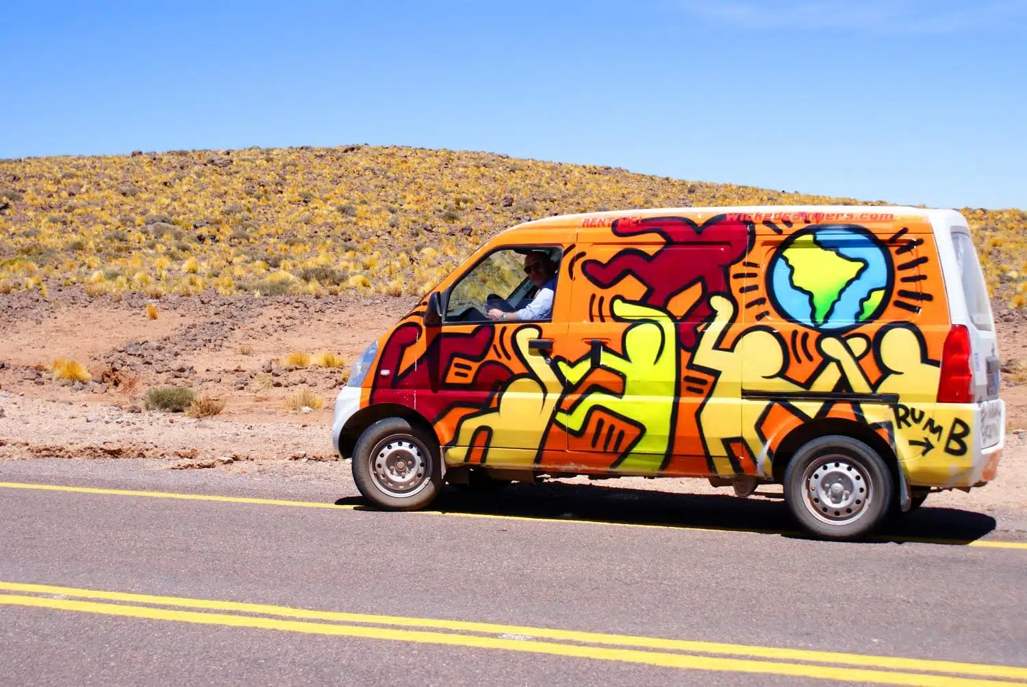
Maybe it was the authority in his voice, but on the back of that two-minute conversation, I hired a campervan, picked up the keys in San Pedro de Atacama and set off into the driest desert in the world. Over a week in February, I drove around 1,000 miles in Bruno, the name I gave my brightly painted van, chasing lagoons across the salt flat and up onto the altiplano, sleeping in the back and eating my meals off a fold-out table under the open sky.
I’ve since been back to the Atacama on a very different trip, in July, with a private guide. Both trips had their merits, but the road trip showed me how empty and silent this corner of Chile can be, and the altiplanic lagoons were the thread that ran through it.
Some links in this article may be affiliate links, which means we may receive a small commission, at no additional cost to you, if you decide to purchase through one of my recommended partners.
Setting off from San Pedro
Going to the Atacama had been near the top of my bucket list for as long as I could remember. I’d travelled through the neighbouring altiplano in Bolivia and Argentina a few years earlier, but that trip was cut short before I could cross into Chile.
The map I spread out in a small car park in San Pedro was peppered with dots and scribbled notes: stargazing spots, little-known hikes and viewpoints, and the best places to see flamingos at that time of year.
“You need to stock up on food, water and sunscreen in town,” warned Karen, the local manager at the campervan hire company. “Once you get out into the desert, there are a few very small villages and hamlets, but they’re few and far between, and you can’t rely on them for your provisions.”
I came to understand the wisdom of that later. Apart from a few meals in villages tucked away at the end of remote, dusty roads, that first shop in San Pedro kept me going all week. By the time I’d packed up and filled the tank, I was already hot and grimy, so I opened the windows, turned the fan up to full blast and hit the road.
The lagoons of the Salar de Atacama
The Ojos del Salar
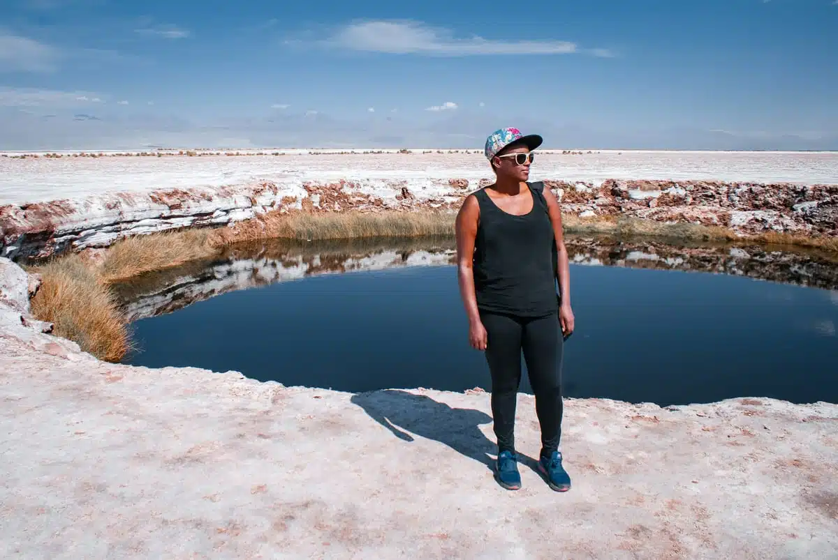
One of the nearest places on the map was the Ojos del Salar, two almost perfectly round pools near the top of the Salar de Atacama. The sun had baked the ground to an almost unbearable temperature, so getting from the van to the water meant a quick, barefoot hop, and the cool relief as I eased into the pool was very welcome. I floated for a while, buoyed up a little by the slightly salty water, staring up at the sky, and home felt so far away that I could barely picture it.
Then the hunger kicked in. I made my first meal in the back of the van and sat down to eat it at my portable table, much to the delight of a busload of tourists who turned up halfway through. “Do you mind if I take a picture?” one of them asked, camera already in my face. I did my best to look nonchalant, as if people snapped me eating lunch behind a brightly painted campervan in the middle of a desert every day.
Whether you should swim in the Ojos today is more of a grey area, and my guide to the pools explains why.
Laguna Tebinquinche
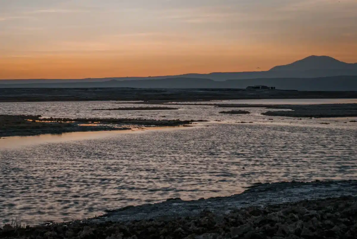
With my photographer still lurking, I drove a few miles further to Laguna Tebinquinche, a vast lake famous for water so still that it takes on the colours and moods of the sky and the volcanoes around it. I’d only planned to stay a few hours. But as the sun set and the lake blazed with colour, I decided it was as good a place as any to spend my first night, and opened a bottle of Chilean red to celebrate.
Then the second show began. One by one, the stars and planets appeared until the whole sky was full of them, and I even spotted a couple of shooting stars. I’d set up my camera and tripod before sunset, and only when I went to take my first picture did I realise I’d left my remote shutter release at home in the UK. I spent the next few hours holding my breath to cut down the camera shake, before giving up, lying back on the ground and taking the occasional sip of wine. Sometimes the simplest option really does give you the best experience.
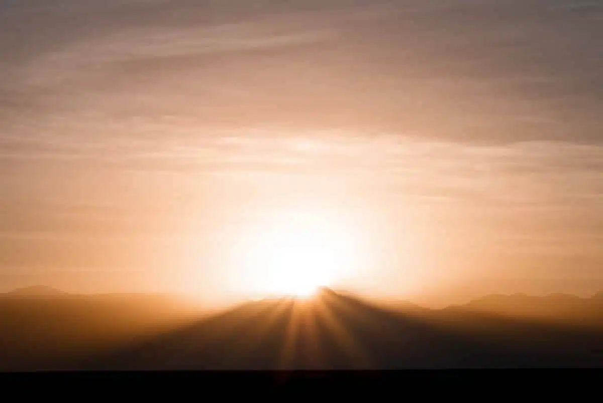
The next morning, I watched the sun come up behind Láscar, the active volcano that towers over the salt flat.
Things are different at Tebinquinche today. The lake is on the Coyo community’s land and charges entry, around CLP 6,000 per adult in cash, and overnight stays aren’t allowed in Los Flamencos National Reserve, which protects many of the other lagoons around the salar. I wouldn’t plan to sleep beside any of them now: come for sunset and drive back to San Pedro.
Laguna Chaxa
I stopped at Laguna Chaxa bright and early. It’s best known for the three species of flamingo that feed on its waters, the James’s, Chilean and Andean, and it’s part of the Soncor sector of Los Flamencos National Reserve.
On the face of it, Chaxa was still as death, apart from the flamingos ranging across its surface with their weirdly stilted, uncoordinated walk. Look a little closer, though, and the water was teeming with the tiny algae and invertebrates they feed on.
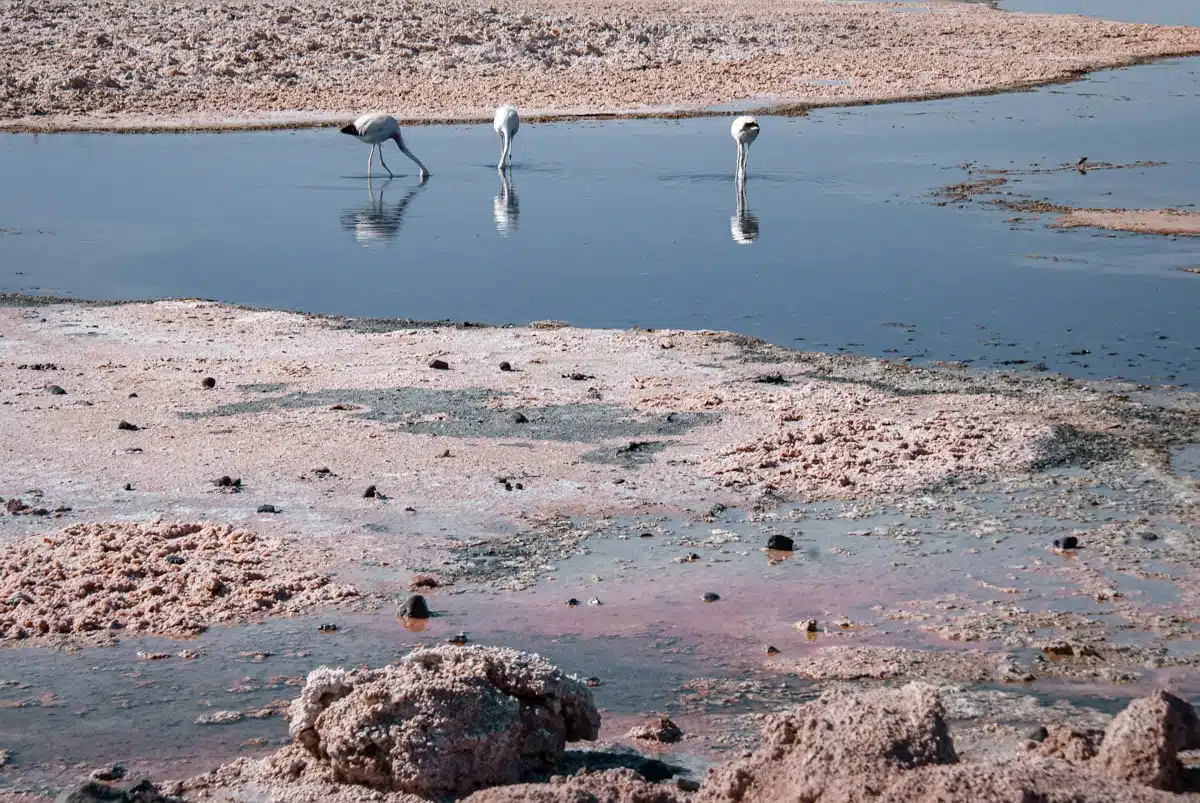
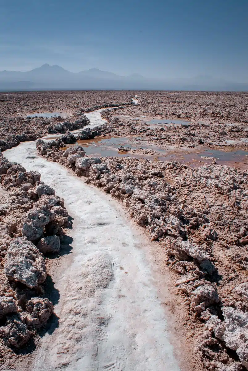
Away from the lake, the salt had formed a pale, rocky crust, and a path cut through it past little saline pools. The flamingos gathered around them until I got too close for comfort, then stalked off or flew to the next pool, intent on their never-ending feeding routine.
Chaxa is now run by the Toconao community, which sells tickets through its website (comunidadtoconao.cl). The visitor centre opens from 8am to 8pm in summer (last entry 7pm) and 7am to 7pm in winter (last entry 6pm).
Up to the Salar de Talar
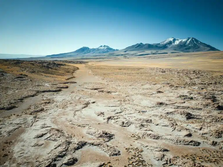
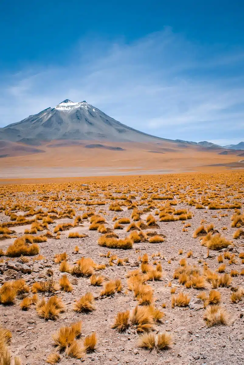
From the salt flat, I headed south and up into the mountains, bumping along an unkempt road as the landscape changed from the pale hues of the salt plains to dull red volcanic earth, spotted with tufts of hardy, bright yellow grass and thorny flowers. My destination was the Salar de Talar, where Karen had told me about a short hike to the red rocks of Piedras Rojas.
I’d told myself I wasn’t feeling the altitude, and I ate my words after a few very breathy steps. Every step felt like I was running rather than walking at a snail’s pace, and all of a sudden Karen’s advice made complete sense: “Walk up like an old man and you’ll be able to come down like a young bull. Spring up like a young bull and you will come down like an ancient person, if you make it at all.”
It was worth every gasp. My guide to Piedras Rojas and the Salar de Talar has the full story, including how different it was when I went back in July, and how the community-run tickets work now.
Ruta 27: Pujsa, Tara and Quisquiro
Any road trip that covers a big area is one half the excitement of reaching each new place and one half numb backside, tapping along to music as you drive between them. Much of the pleasure of exploring the Atacama is watching another unbelievable landscape unfold every time you round a bend.
That was never truer than the day I headed east on Ruta 27, the road that climbs from San Pedro to the Argentine border at Paso de Jama, to see the Salars de Pujsa, Tara and Quisquiro. It was a memorable drive, though not for all the right reasons. I saw just one other private vehicle all day, but the road was busy with lorries hauling goods between Chile and Argentina.
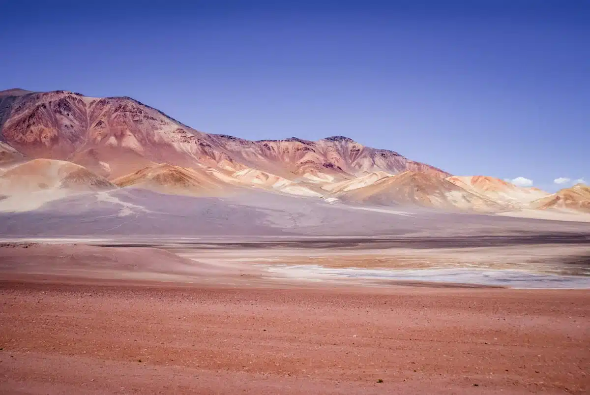
The altitude added its own strangeness. Ruta 27 tops out at around 4,830 metres, and somewhere near the top I had the vague feeling that I might be dreaming. I wasn’t. I was trying to negotiate a road full of truckers hell-bent on taking every slope and bend at the greatest possible speed. Take frequent breaks.
Salar de Pujsa
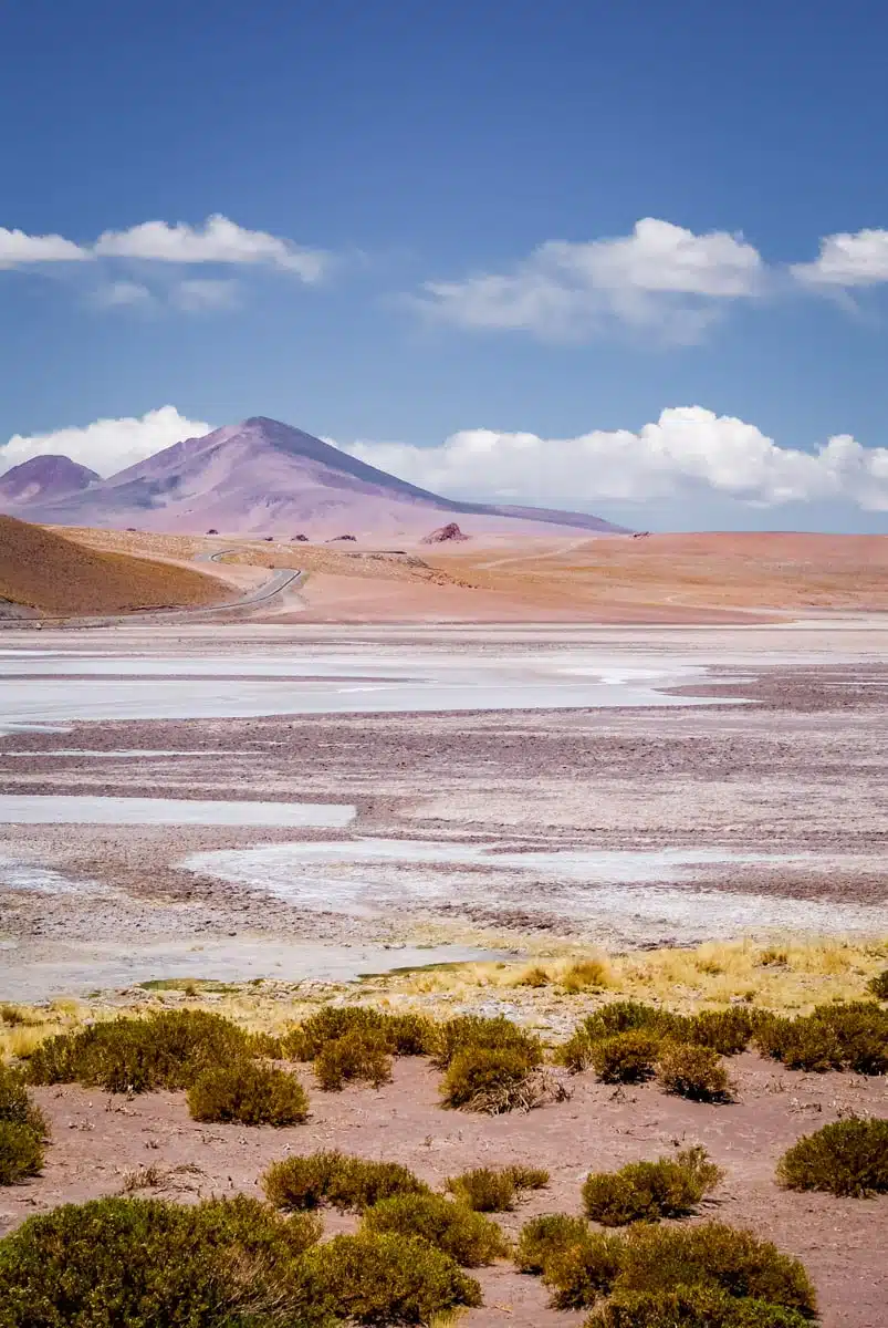
Pujsa was the first of the three. At over 4,500 metres, this little-visited salt flat has its own sector of Los Flamencos National Reserve, and it’s one of the most remote parts of the Atacama. You’re unlikely to see many tours or tourists on the road. The wetlands around it are home to viscachas, vicuñas and rheas, as well as plenty of flamingos.
Los Monjes de la Pacana and the Salar de Tara
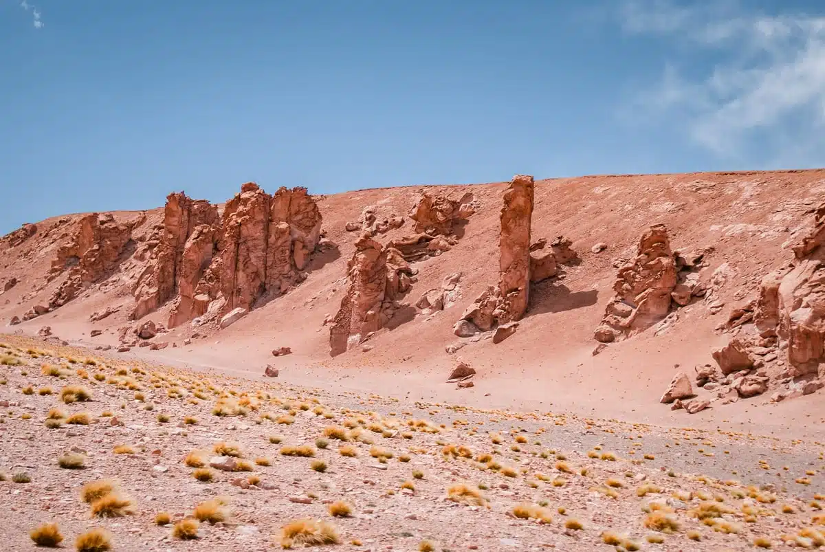
Further east, a row of giant vertical rocks stands guard beside the road. Wind erosion has carved them into the silhouettes of monks, which is how Los Monjes de la Pacana got their name, though others call them sentinels, watching over the desert. Most are around 20 metres tall, and the biggest reaches about 40.
The views that day were some of my favourites from the whole Atacama. The Salar de Tara itself lies off the main road, at the end of a dirt track that needs a 4×4, so I admired the landscape from Ruta 27. Today that’s the only way to see it: the Salar de Tara has been closed to tourism since June 2018. It’s managed by CONAF together with the Lickanantay community of Toconao, and the closure has been kept in place to give its flamingos, plants and wildlife a chance to recover.
Salar de Quisquiro
Quisquiro was the largest of the three salt flats on my map, and a little further than I’d expected. It’s pretty much the end of the road before Argentina, about 20km from Paso de Jama, at around 4,150 metres. Then, suddenly, I turned a corner and there it was.
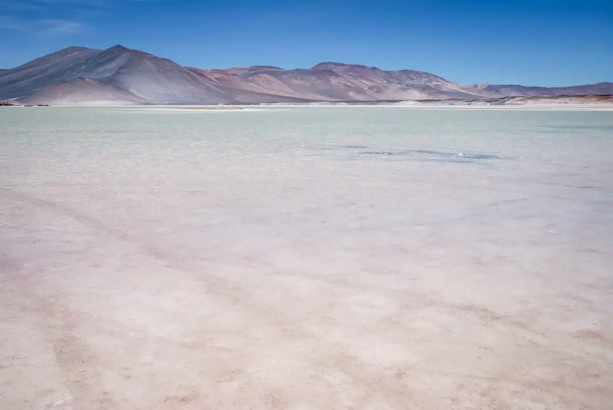
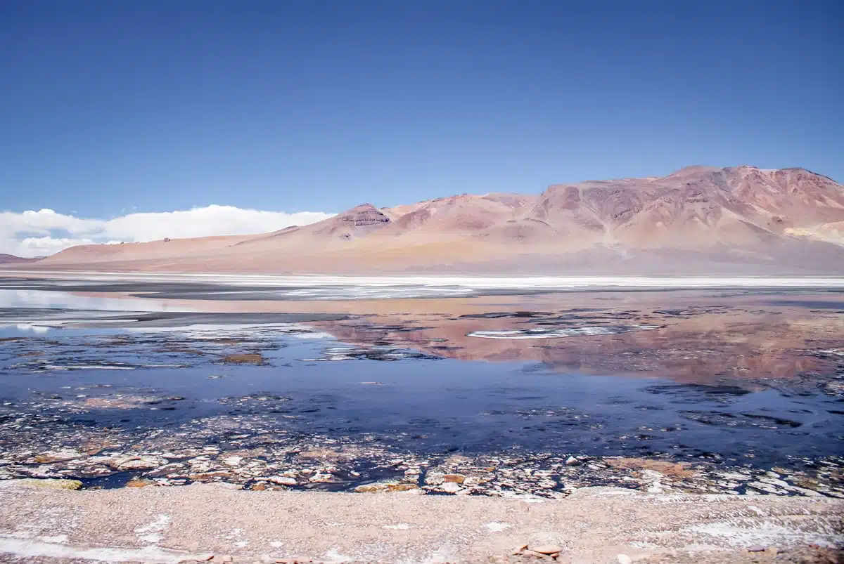
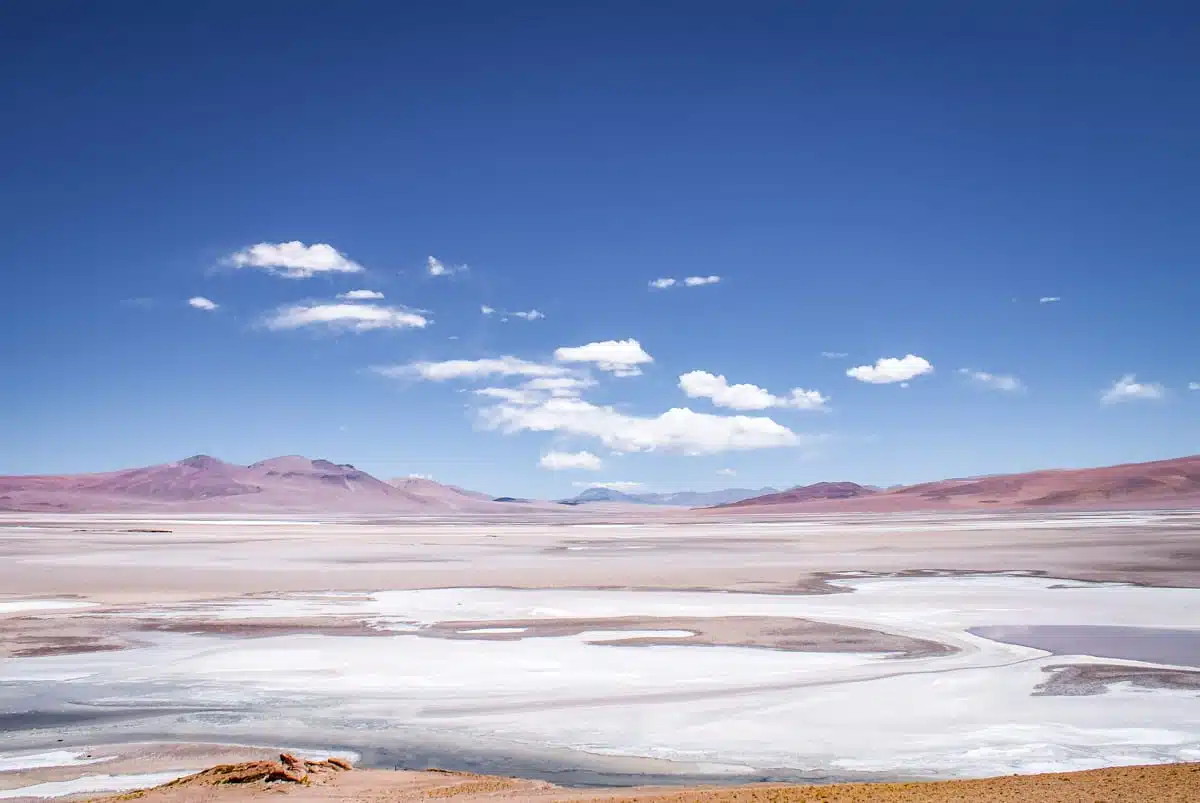
The view kept on unfurling in front of me, to the point where it was impossible to take it all in at once. Quisquiro was a rainbow of deep azure blues, dotted with clouds of white and crimson red, a perfect reflection of the scenery around it. Climbing down from the road, everything else disappeared, swallowed by the endless salar. Everything was quiet and still, apart from the alpacas and vicuñas roaming in skittish packs.
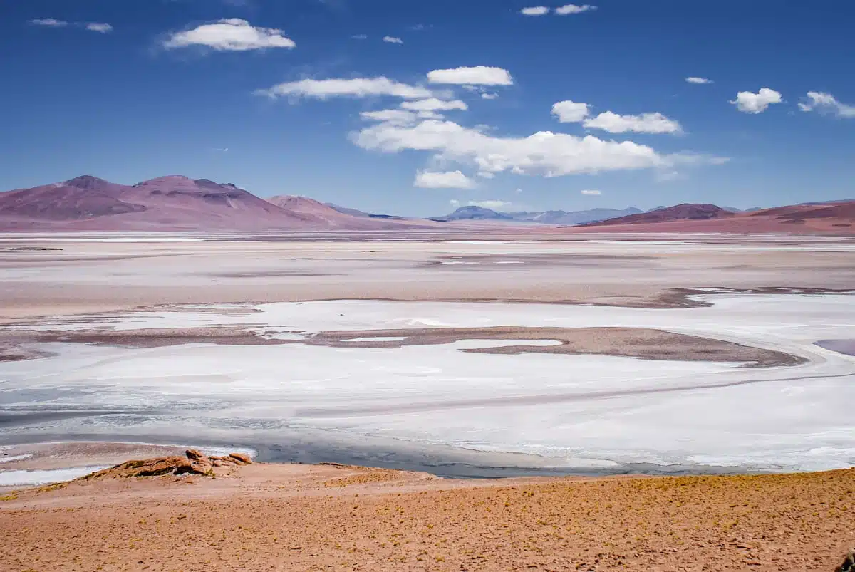
Dare I say it, Quisquiro beats the others, if only for its sheer size (around 80 square kilometres) and the almost complete solitude you’ll find on its shores. The road is paved, but you might still have white knuckles by the time you get there.
A glimpse of Laguna Verde
On the way back, I passed the signpost for the turn-off to Bolivia. Seconds later, I caught a glimpse of the vivid colours of Laguna Verde peeking through the volcanoes. It had been one of the highlights of an earlier road trip from Tupiza to the Salar de Uyuni in Bolivia, and seeing it from above was an unexpected pleasure.
Stars, sunrise and the end of the road
Stargazing in the Cordillera de la Sal
Driving back down into the valley of the Salar de Atacama and up out of the other side, I found a spot miles from any main road and pulled up in the shadow of the Cordillera de la Sal, its foothills patterned with seams of salt. There was no one around, no noise and no cars, and the stars came out in full force until the moon rose around midnight.
I’ll admit that sitting there in complete darkness, apart from my torch and the starlight, was a little unsettling. Every time the wind blew, I glanced nervously over my shoulder, but all I could see were the giant pillars of salt-streaked rock looming behind me. It was like I’d discovered a new planet, despite being less than half an hour from San Pedro. My guide to stargazing in the Atacama Desert has more on where to go.
Sunrise in the Valle de la Luna
“Sunrise at Valle de la Luna” was written on my map in capital letters, with a big red circle around the entrance. “If you go to the Valle de la Luna at sunset, you’ll have to fight the crowds to see it,” Karen had told me. “If you go at sunrise, though, it’s the opposite story.”
Thanks to a few misjudged calculations on my part, the sky was already getting light when I set off, and it’s always the roughest road you meet when you need to make the fastest time. By the time I arrived, my teeth were chattering and my neck was sore from all the jolting. But getting in was a breeze, and Karen was right: there was no one else there.
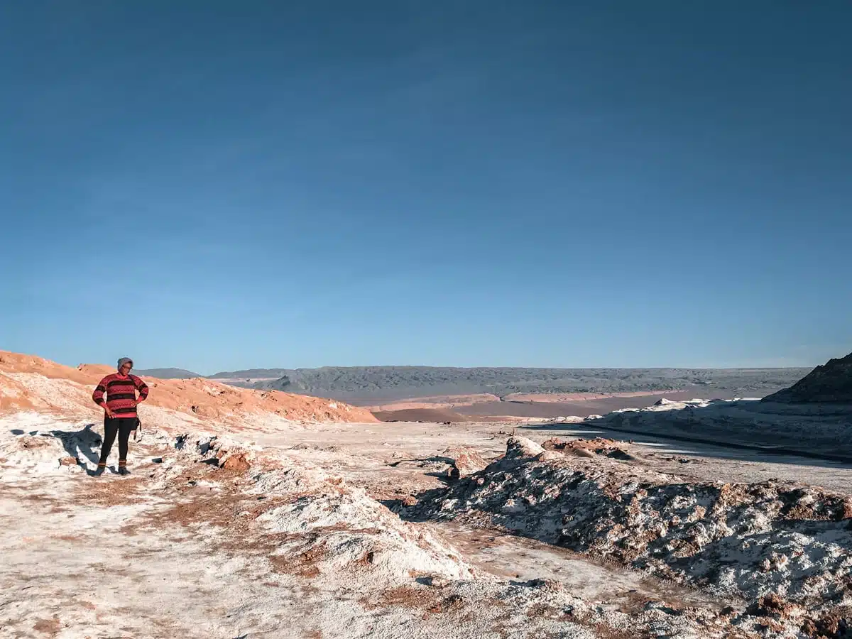
I had hours before I saw another person, and then it was two adventurous souls who’d cycled up the long, steep road from San Pedro. My Spanish is far from perfect, but their verdict roughly translated as “never again, that was so much harder than we thought”.
Sadly, you can’t repeat my sunrise now. Tickets for the Valle de la Luna are sold online only, the gates don’t open until 8am or 9am depending on the season, and the trails close before sunset.
Guatín and El Tatio
It was nearly time to give Bruno back, but I couldn’t leave without seeing the El Tatio geysers, which are at their most active at sunrise. To shorten the early start, I spent the night in Guatín, a tiny hamlet on the road up, and set off at 3.30am.
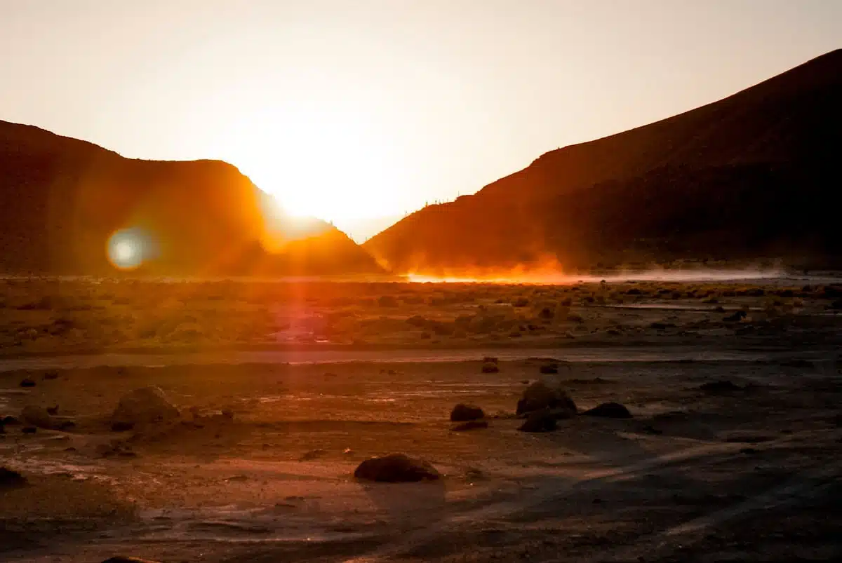
After a week off-grid, it was strange to be surrounded by people again, all trying to get as close to the geysers as possible as they bubbled and boiled. Even the crowds couldn’t take away from the ethereal sight of the field erupting, hissing and steaming in front of me.
On the way back down, I had time for one last hike, into the canyon at Guatín, lined with spectacularly large candelabra cacti. I made my way along the riverbed, unobserved and undisturbed, savouring my escape from reality, temporary as it was.
Planning your own Atacama road trip
Campervan, car or 4×4?
A campervan was perfect for my route. The main roads are paved: Ruta 23 south through Toconao and Socaire towards Paso de Sico, and Ruta 27 all the way to Paso de Jama. The tracks to sights like Laguna Cejar and the Ojos del Salar are gravel that a normal vehicle can manage in good conditions. A campervan can’t go properly off-road, though, and some places, like the sandy tracks out to Vallecito in the Cordillera de la Sal, need a 4×4. Whatever you hire, check that your insurance covers gravel roads and high-altitude driving.
Driving Ruta 27
Ruta 27 runs for about 156km from San Pedro to the border at Paso de Jama, and it’s paved all the way. It climbs from around 2,400 metres in San Pedro to a high point of about 4,830 metres, so it’s a long, steep haul up and a long descent back, with lorries in both directions.
There’s nowhere to buy fuel, food or water between San Pedro and the border, so fill up and stock up before you go, just as Karen told me to. In winter, the road can close at short notice for snow and strong winds, as it did as a precaution in September 2025, so check the forecast and the road status before setting off, especially between June and September.
Coping with the altitude
The altitude caught me out more than once. San Pedro sits at about 2,400 metres, and the lagoons on Ruta 27 are at around 4,000 to 4,500 metres. The NHS says altitude sickness can start above about 2,500 metres, with headaches, nausea, tiredness, dizziness and trouble sleeping. This is general guidance, not medical advice, so speak to your GP or a travel clinic before you go if you have any health concerns.
- Spend a couple of nights in San Pedro first, and start with the lower lagoons on the salt flat.
- Walk up like an old man, and stop whenever you need to.
- Drink plenty of water and go easy on the alcohol.
- If you feel unwell, don’t go any higher, and head back down if it gets worse.
What’s open, closed and changed
A lot has changed since my road trip, and many of the lagoons are now community-run, with tickets and set hours:
- Ojos del Salar: no gate or fee, but swimming is a grey area.
- Laguna Cejar: online tickets for a set time slot, and you float in Laguna Piedra. See my Laguna Cejar guide.
- Laguna Tebinquinche: around CLP 6,000 per adult, in cash.
- Laguna Chaxa: tickets through the Toconao community.
- Piedras Rojas and Lagunas Miscanti and Miñiques: online tickets through the Socaire community, with check-in in Socaire. See my guide to Lagunas Miscanti and Miñiques.
- Los Monjes de la Pacana and Quisquiro: free to visit from Ruta 27.
- Salar de Pujsa: no ticketing listed, but the reserve recommends going with an authorised operator.
- Salar de Tara: closed to tourism since 2018.
- Valle de la Luna: online tickets, daytime visits only.
Where to sleep
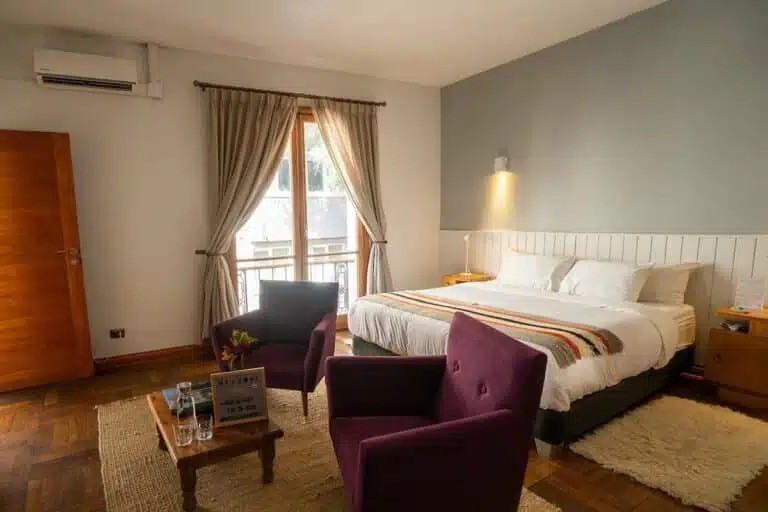
Overnight stays aren’t allowed inside Los Flamencos National Reserve, so don’t plan to wake up beside the lagoons as I did. In a campervan, look for a campsite in or near San Pedro, and only camp where it’s clearly allowed. If you’d rather have a proper bed between drives, my guide to the best hotels in the Atacama Desert has options at every budget. On my July trip I stayed at Nayara Alto Atacama and Hotel Desertica, and I’ve reviewed both.
Prefer a tour?
If you’d rather not drive the high roads yourself, shared “Ruta de los Salares” tours from San Pedro cover the Ruta 27 stretch in about seven hours, typically with breakfast and lunch, for around CLP 45,000 per person. For the southern lagoons, this full-day tour of Piedras Rojas and the altiplanic lagoons takes in Laguna Chaxa, Lagunas Miscanti and Miñiques and the red rocks in one long day. My guide to the best Atacama Desert tours has more.
Map
Tips for your Atacama road trip
- Stock up on food, water and sunscreen in San Pedro, and fill the tank before every long drive.
- Download offline maps and mark your stops before you go, as there’s no signal for long stretches.
- Save Ruta 27 for later in your trip, once you’ve acclimatised.
- Give the lorries on the high roads plenty of room.
- Carry pesos in cash for community-run sites like Tebinquinche.
- Book online tickets for Cejar, the Valle de la Luna, Piedras Rojas and Miscanti a day or two ahead.
- Pack warm layers even in summer, as it’s cold at altitude and after dark.
- Choose an eco-friendly sunscreen, as sunscreen has damaged some of the region’s lagoons.
Read next
- The best things to do in the Atacama Desert
- My Atacama Desert itinerary
- Piedras Rojas and the Salar de Talar
- Visiting the Ojos del Salar
- My interactive Atacama Desert map
- The ultimate road trip essentials checklist
- Read all my San Pedro de Atacama and Atacama Desert guides
Love this? Save and share on Pinterest
Two links point to pages that aren’t live yet: – /piedras-rojas/ returned 404 when I checked today, presumably because it hasn’t been published yet. – /laguna-cejar/ is CL41.
Publish both before this page, or remove those two links. All other links return 200.

Discover the top things to do, insider tips and hidden gems in our Chile Travel Guides.
Read the guides →