Red volcanic rocks, a salt lake that freezes turquoise in winter and some of the most outrageously coloured mountains in the Andes: this is how to hike Piedras Rojas and the Salar de Talar in Chile’s Atacama Desert, with tickets, the road from San Pedro, the altitude and what I learned on two very different visits.
I’ve walked out to the red rocks twice. The first time was on a February road trip in a campervan, when there was no path, no ticket and no real idea of where I was going. The second was on a winter trip in July, when a community path led me down to a lake frozen so solid that it looked more like a piece of turquoise than water.
Both times, it was one of the highlights of my trips to the Atacama Desert. It’s a long day out from San Pedro de Atacama, and at around 4,000 metres it’s hard work for a walk that isn’t technically difficult, but I’d tell anyone heading to northern Chile to make the trip.
Some links in this article may be affiliate links, which means we may receive a small commission, at no additional cost to you, if you decide to purchase through one of my recommended partners.
What are Piedras Rojas?
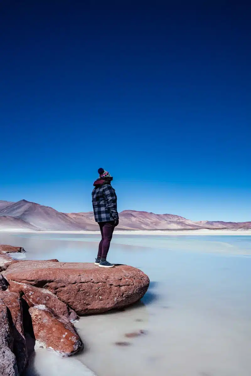
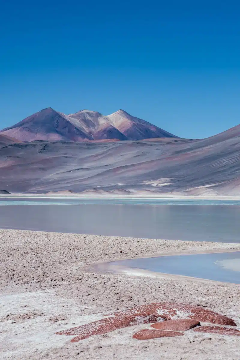
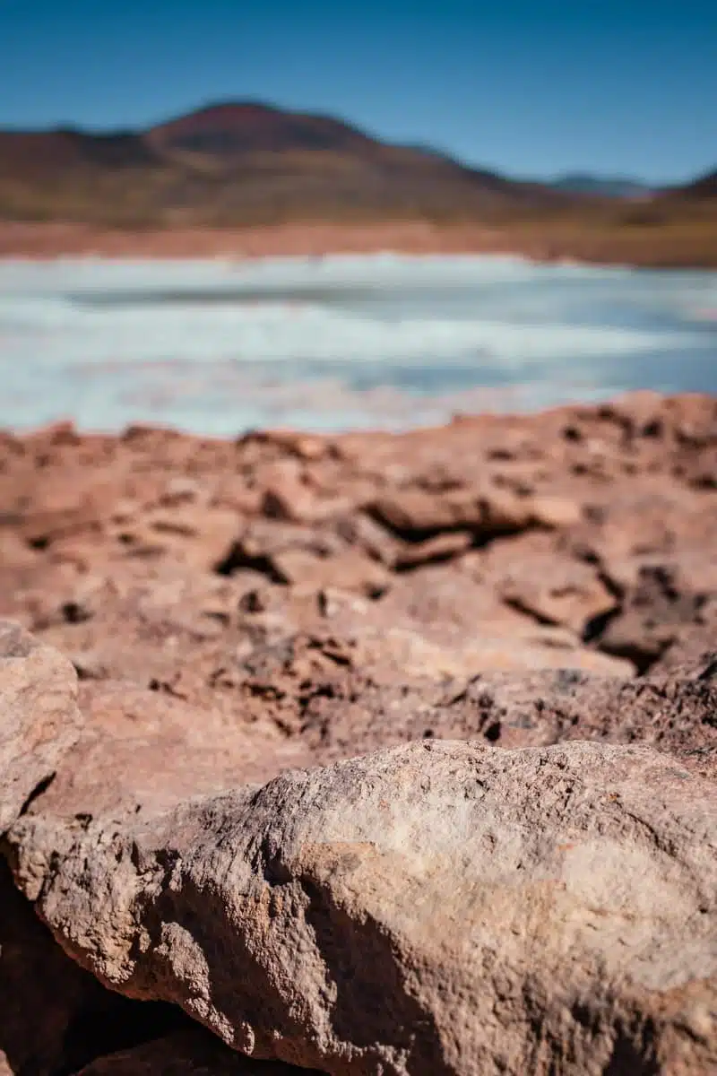
Piedras Rojas means “red stones”, and the name is as literal as it gets. A band of rust-red volcanic rock, its colour coming from iron oxide, runs along the shore of a high salt flat about 150km south-east of San Pedro de Atacama, close to the road that eventually leads over the Andes to Argentina. Some of it lies in flat slabs patterned with salt, some in great rounded boulders that sit right at the water’s edge.
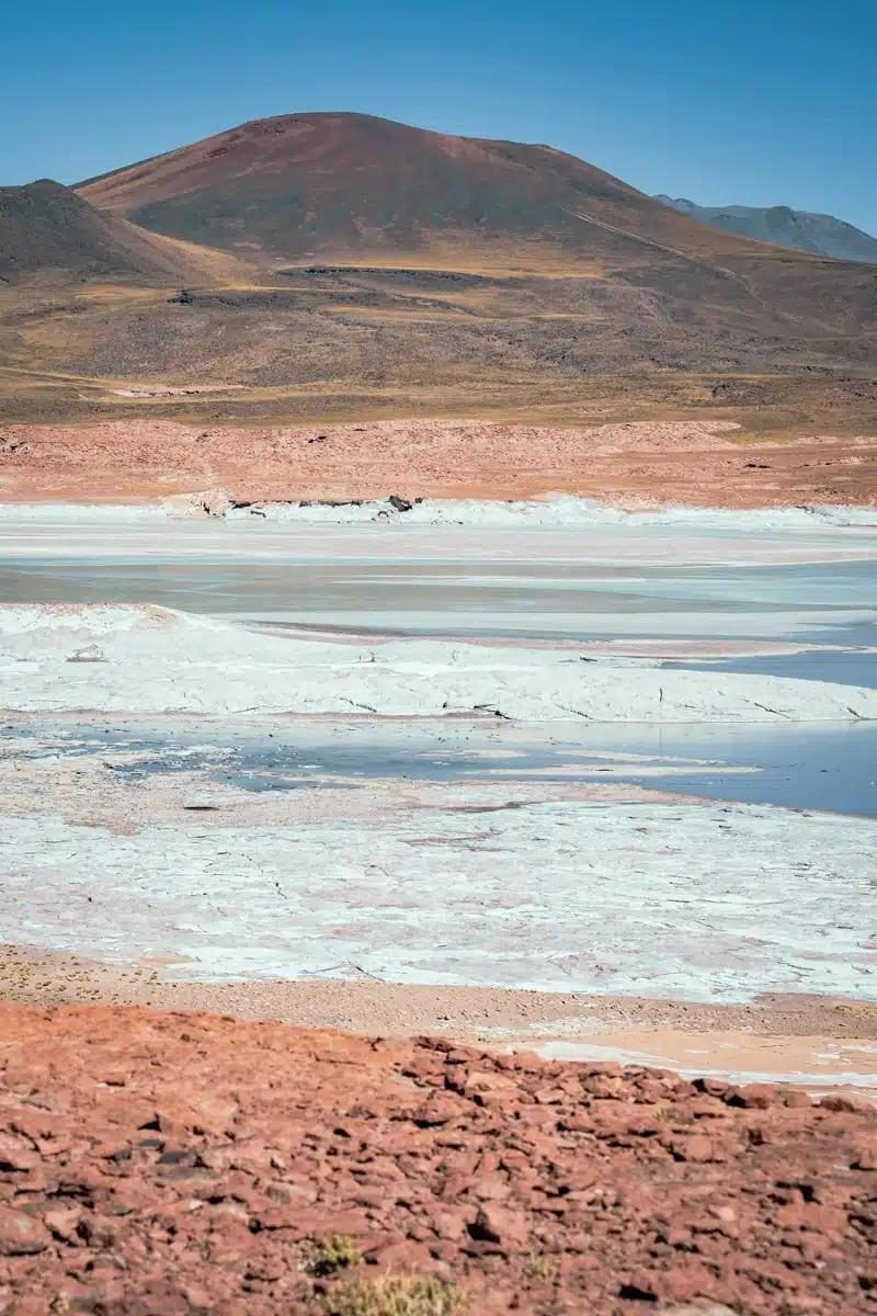
You’ll see the salt flat itself called several things, which confused me on my first trip. Most people know it as the Salar de Talar. The Socaire community, which sells the tickets, calls it the Salar de Aguas Calientes Sur, and older maps label the northern part Aguas Calientes. They all point to the same place: a salt flat at about 3,950 metres, ringed with shallow lagoons and white salt crust.
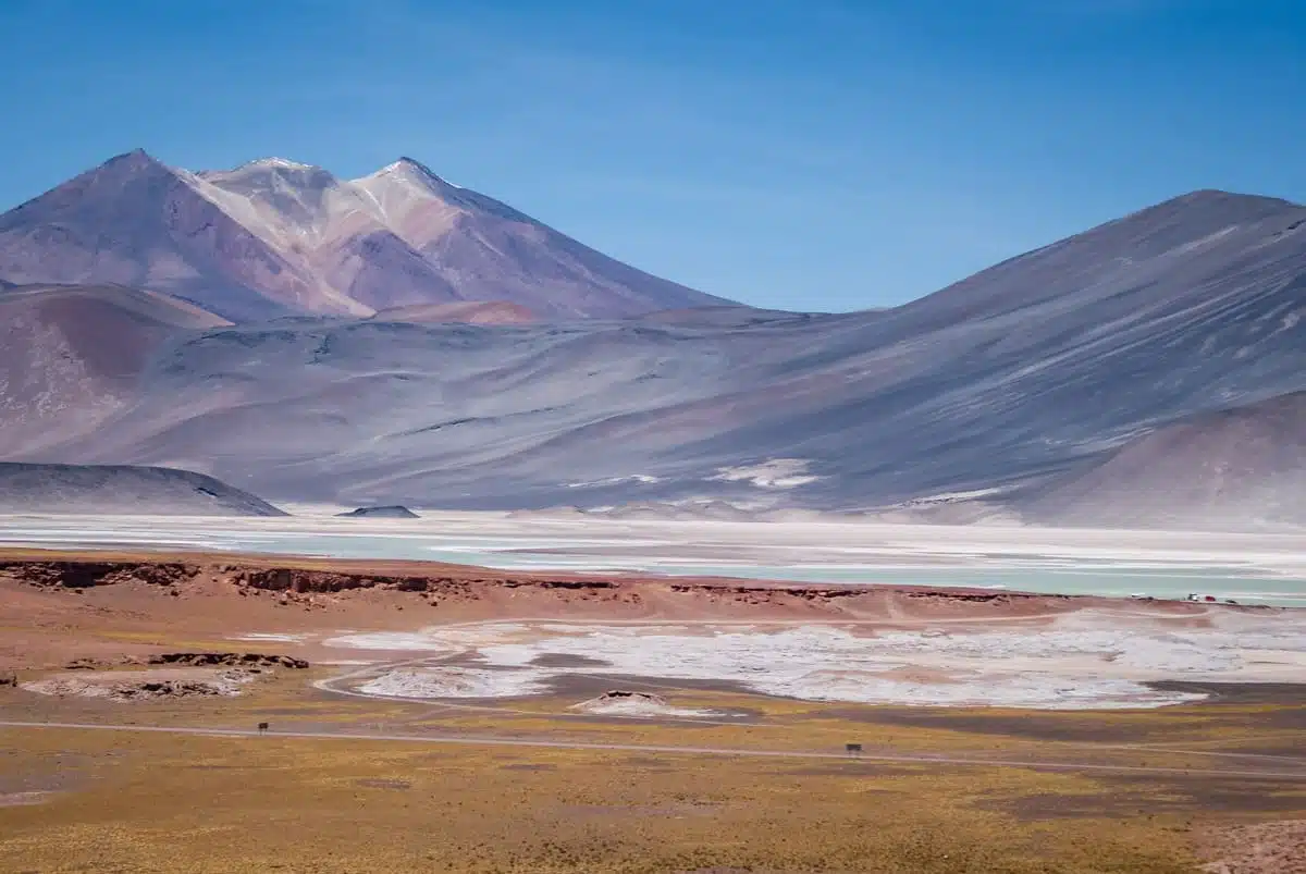
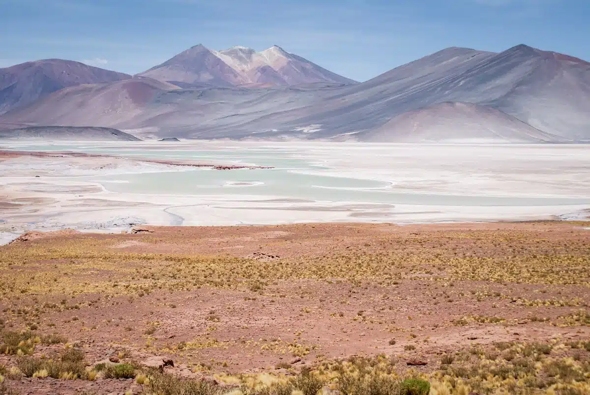
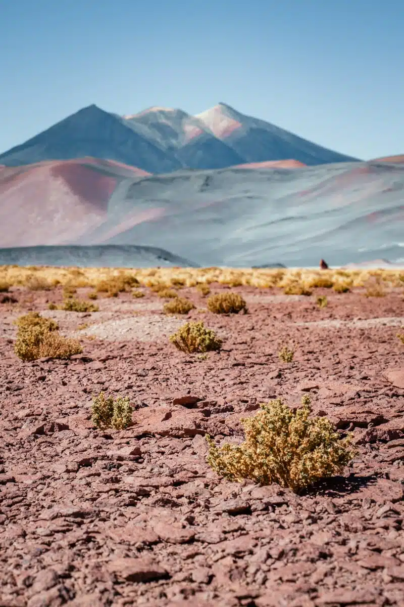
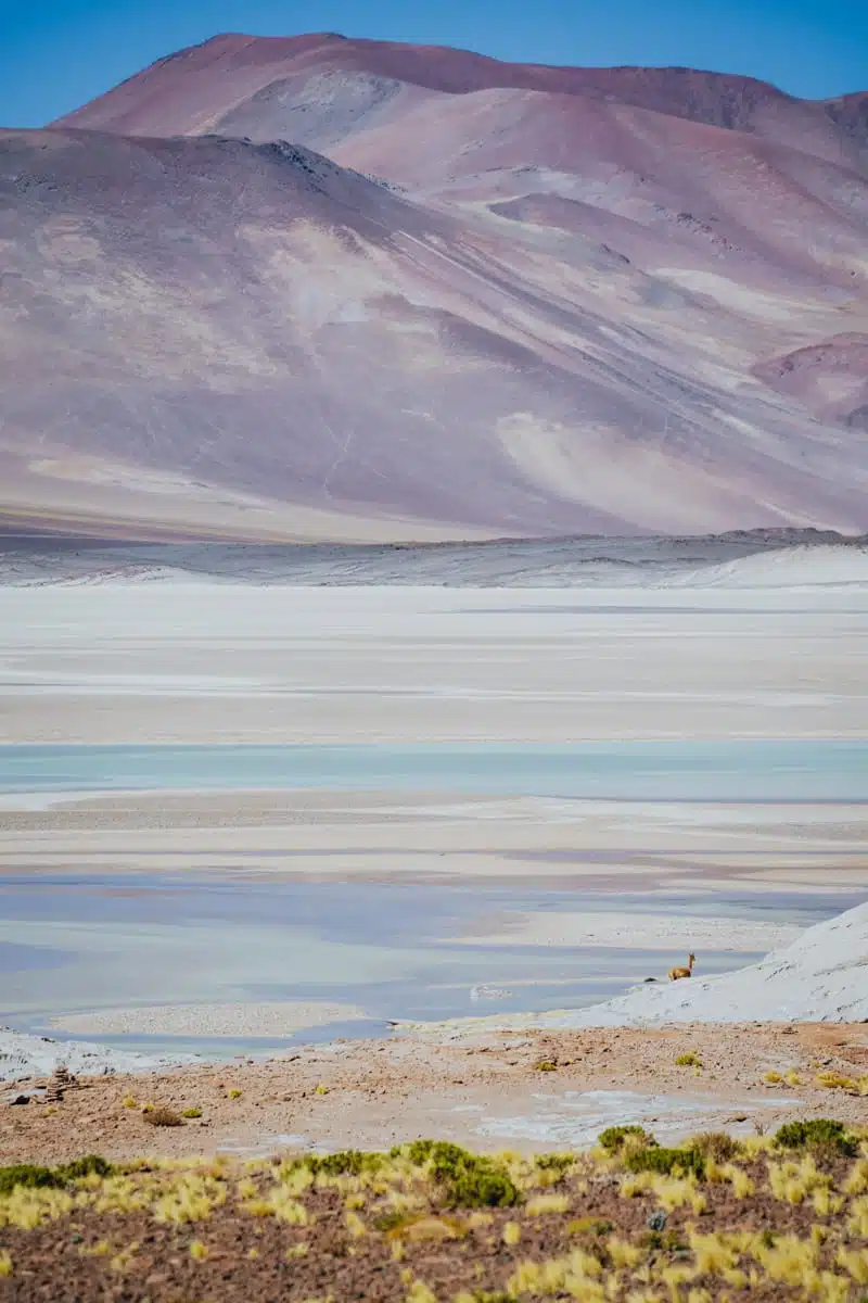
What makes it so special is the colour. The minerals in the water turn the lagoons anything from pale green to milky teal and bright turquoise, and the salt crust around them can look pastel pink in the right light. Then there are the mountains. If the other volcanoes in the Atacama impress you with their size, Volcán Capur wows with the rainbow cascading down its sides: brilliant white in places, purple and basalt grey in others. Put all that next to the red rocks under a deep blue altiplano sky and it barely looks real.
My first visit: a February road trip with no path
On my first trip to the Atacama, I spent a week driving around the region in a brightly coloured campervan. My map was peppered with scribbled notes on stargazing spots, little-known hikes and viewpoints, and Karen, the local manager at the campervan hire company in San Pedro, had told me about a relatively short hike to the red rocks for the best views over the salar.
Getting there was half the adventure. I bumped my way up an unkempt road, dodging cars driven by locals who knew it far too well, as the landscape changed from the pale hues of the salt plains to dull red volcanic earth, spotted with tufts of hardy, bright yellow grass and thorny flowers.
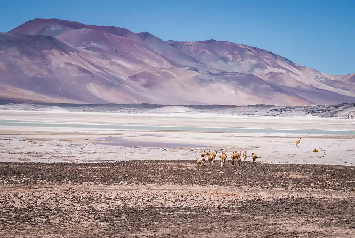
The map promised adventure, but it wasn’t so good on specifics. When I got out of the van, I had absolutely no idea which direction to head in to reach the rocks, so I set off for the far side of the lake on the reasoning that an already spectacular view was unlikely to get any worse. The rocks sat about 4km (2.5 miles) from the road, and the walk there and back took about two hours.
I’d told myself I wasn’t feeling the altitude. I ate my words after a few very breathy steps. Scrambling over uneven ground and large rocks is significantly more strenuous when you find it hard to breathe even standing still, and every step felt like I was running rather than walking at a snail’s pace. All of a sudden, Karen’s advice made complete sense: “Walk up like an old man and you’ll be able to come down like a young bull. Spring up like a young bull and you will come down like an ancient person, if you make it at all.”
It was worth every gasp. From my perch on the rocks, the lake’s luminous pale green water was edged with a pale-pink salt crust, flanked by ice-tipped purple volcanoes behind. The view was every bit as impressive as Karen had promised.
Going back in July: a frozen lake and a proper path
When I went back to the Atacama in July, I saw it in a completely different way: on a private tour from Nayara Alto Atacama with my guide, Rodolfo, who grew up in Calama, and a driver who handled the roads with ease.
The drive up was a show in itself. As you leave the Atacama basin, the grass disappears, replaced by lava flows that look impossibly smooth from a distance. Get closer and the colours reveal themselves: it looks pillowy soft, a kaleidoscopic world you’d bounce off if you fell from the sky. In July there was snow on the southern faces of the mountains, and the effect was dizzying, and not just because of the altitude. Andesite gives the volcanoes their purplish grey, and where they turn redder, it’s the iron.
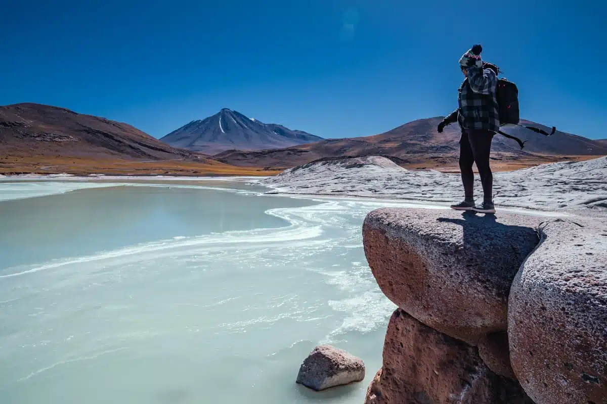
A lot had changed since my first visit. The hike used to be much harder because there was no marked path, but the local community from Socaire has since built one in exchange for paid access. On that trip I paid at a kiosk in Socaire on the way up; these days tickets are sold online, and Socaire is where you check in.
The walk took about an hour, mainly because you have to move so slowly at over 4,000 metres, and the scenery changes all the way along the trail. Be sure to walk all the way down to the water. The lake was frozen on the day I visited, which made for a really cool contrast with the red rocks, and up close the ice looked more like a piece of turquoise than water.
Nayara put on a beautiful picnic for the way back: Thai chicken curry, rice, quinoa and cauliflower soup with croutons, along with drinks and desserts. Picnics aren’t allowed at the lagoons themselves, so save yours for the way back. Luxury means different things to different people, but to me there’s no greater indulgence than a stellar meal in the peace and quiet that only comes from being in the middle of nowhere.
The hike today: what to expect
The walk is a loop on a marked path of about 3km, with very little climbing. On paper it’s an easy stroll. At this altitude, allow an hour to an hour and a quarter, which is about what tour operators allow too.
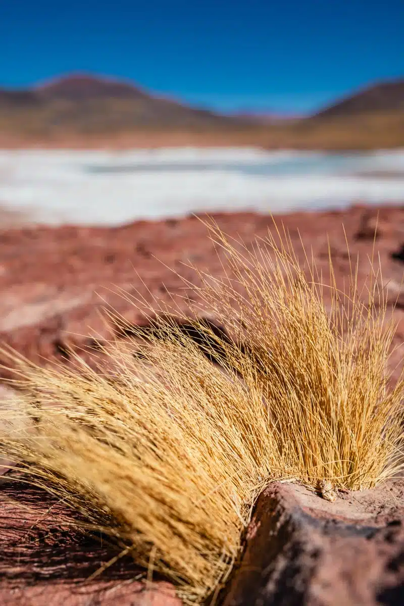
The path leads from the car park through the red rocks to viewpoints over the lake and back. The surface is natural ground and loose rock rather than a made-up trail, so wear proper walking shoes with a decent grip, especially in winter, when there can be ice and snow along the way.
The community built the path for a reason. In 2018, a visitor kitesurfed on one of the lagoons and the site was closed altogether, and for a time afterwards visitors could only reach a single viewpoint. The Socaire community now maintains the trails, lookouts and signs, and tourism here is one of its main sources of income. Stick to the marked path, keep off the salt crust and out of the water (you can’t swim, and the water isn’t safe to drink), and if the signs or the community’s wardens ask you to keep off particular rocks or stretches of shore, do.
Look out for wildlife too. The Socaire community lists Andean and James’s flamingos, Andean geese, vicuñas and culpeo foxes here, and on my February trip I watched a herd of vicuñas pick their way across the salt flat. There are flamingos on the water in the summer. Don’t feed anything, and if you’re thinking of flying a drone, ask at the Socaire check-in first rather than assuming it’s fine.
Tickets and check-in at Socaire
Tickets are only sold online, through the Socaire community’s website (socairechile.cl), and never at the site itself. Piedras Rojas (listed as the Salar de Aguas Calientes Sur) comes as a pack with Lagunas Miscanti and Miñiques, as the community doesn’t sell separate tickets for the two. Expect to pay around CLP 13,000 per foreign adult and CLP 10,000 for Chileans, but prices change, so check when you book.
When you book, you choose a time slot. On the day, you have to check in at the community’s control point in Socaire an hour before your slot, with your QR code and your car’s number plate. Slot times can’t be changed, so leave plenty of time for the drive. If your plans change, you can cancel up to 72 hours before your visit (fees may apply) by emailing or calling the community.
The community suspends ticket sales when snow or wind make the road or the sites unsafe, sometimes on the day, and only people who already hold a booking are let through. Check the website the evening before you set off, and if you’re on a tour, your operator will deal with all of this for you.
Getting there: the road from San Pedro
Piedras Rojas is about 150km from San Pedro de Atacama, roughly two and a half hours’ drive including the stop in Socaire. Head south on Ruta 23-CH through Toconao, past the Tropic of Capricorn sign and up through Socaire, then carry on towards the Paso de Sico border crossing into Argentina. The salar is about 60km beyond Socaire.
The road today is a far cry from the one I bumped up on my first trip. Ruta 23-CH is surfaced all the way, and the stretch between Socaire and the border was resurfaced and given new markings and signs in early 2026. It’s the main freight route between this part of Chile and Argentina, so expect lorries taking the bends faster than you’d like, and take regular breaks: at this altitude, tiredness creeps up on you.
The practical stuff matters more than the road surface. The last petrol station is in San Pedro, about 90km before Socaire, so fill up before you leave. Socaire has no cash machine and no supermarket, only small local shops, and the last phone signal is in the village. Karen’s advice on my first trip still holds: stock up on food, water and sunscreen in San Pedro, because the villages up here are few and far between and you can’t rely on them.
There’s a limited bus service from San Pedro to Socaire on some days of the week, but nothing goes on to the salar, so without a car you’ll need a tour. If you’re driving yourself, combine the red rocks with Lagunas Miscanti and Miñiques (about 115km from San Pedro and on the way back), and give yourself time in Socaire, with its adobe church, terraced fields of quinoa and purple potatoes, and Cocinería San Santiago for lunch.
Altitude: how to handle 4,000 metres
The altitude is the thing that catches most people out here, and it caught me out on my first visit. This is general guidance, not medical advice, so if you have a heart or lung condition, are pregnant or have had altitude sickness before, talk to your GP or a travel clinic before you go.
The NHS says altitude sickness can start above about 2,500 metres, and that symptoms usually begin six to ten hours after arriving: headache, nausea, tiredness, dizziness and trouble sleeping. San Pedro sits at about 2,400 metres, and the salar is over 1,500 metres higher, which is a big jump to make in a morning.
- Spend at least two nights in San Pedro before you go, and ideally do a lower day trip or two first. Most tour operators recommend saving this one for later in your stay.
- Walk up like an old man. Take the path slowly, stop whenever you need to, and don’t race anyone on the rocks.
- Drink plenty of water and skip the alcohol the night before.
- If you get a headache or feel sick, rest and don’t go any higher. If it gets worse, head back down.
- Get medical help straight away for confusion, poor balance, breathlessness at rest or a cough with frothy or bloody spit, and get down as fast as you safely can. Socaire has a small health post.
Coca tea is the traditional remedy across the Andes, but coca leaf is technically a controlled substance in Chile, so don’t carry it across borders. Ask your hotel or guide about local herbal teas instead.
Tour operators set their own limits too. Many don’t take children under seven to nine or adults over 70 to 75, and they advise against the trip for pregnant women and anyone with high blood pressure or a serious heart or lung condition.
When to go: frozen lake or flamingos?
I’ve now seen the salar in high summer and in the middle of winter, and they’re two different places.
If you want to see the water at its very brightest, go in winter (roughly June to August), when the water level drops and the minerals are more concentrated. You might also find the lake frozen, as I did in July. The trade-off is the cold, the wind and the snow: the community recommends visiting between September and March, and winter storms can close the road or stop ticket sales for a day or two. If you’re visiting in winter, leave some slack in your plans.
In summer, the lagoons are liquid, the grass is golden, there are flamingos on the water and the road is less likely to close. December to February is also the busiest time in San Pedro, so book your slot and any tour early.
Whatever the season, wrap up. Even on a bright day it’s cold and windy up here, and in July the lake was frozen solid. Bring warm layers, a windproof jacket, a hat and gloves, sunglasses and sunscreen (choose an eco-friendly one, as sunscreen has damaged some of the region’s lagoons), plus water and snacks.
Piedras Rojas tours from San Pedro
If you’d rather not drive, plenty of tours from San Pedro combine the red rocks with the Miscanti and Miñiques lagoons, Socaire and the Salar de Atacama. They’re long days, with pick-ups around dawn.
This full-day tour run by Ruta Chile takes about 10 hours in a group of up to 14, picking you up at around 6am. It stops at both lagoons, spends about an hour walking at the red rocks and comes back via Laguna Chaxa, Socaire and Toconao, with breakfast and lunch included. The listing puts the park fees at around CLP 29,000, so check what your price covers.
For more time on the trail, this red rocks and altiplano lagoons day trip with Pukarumi allows an hour and a half at Piedras Rojas, with breakfast at the Tropic of Capricorn, lunch, a stop in Socaire and warm clothes thrown in.
Do
Book the full-day tour of Piedras Rojas, the altiplanic lagoons and the Salar de Atacama
If you want a private guide and the day on your terms, that’s how I did it on my second trip, through my hotel. For more options, see my guide to the best Atacama Desert tours.
Map
Read next
- The best things to do in the Atacama Desert
- Visiting Lagunas Miscanti and Miñiques
- My Atacama Desert itinerary
- The best hikes in Chile
- Sunrise at the El Tatio geysers
- Atacama Desert photos: the landscapes that blew my mind
- Read all my San Pedro de Atacama and Atacama Desert guides
Love this? Save and share on Pinterest

Discover the top things to do, insider tips and hidden gems in our Chile Travel Guides.
Read the guides →