
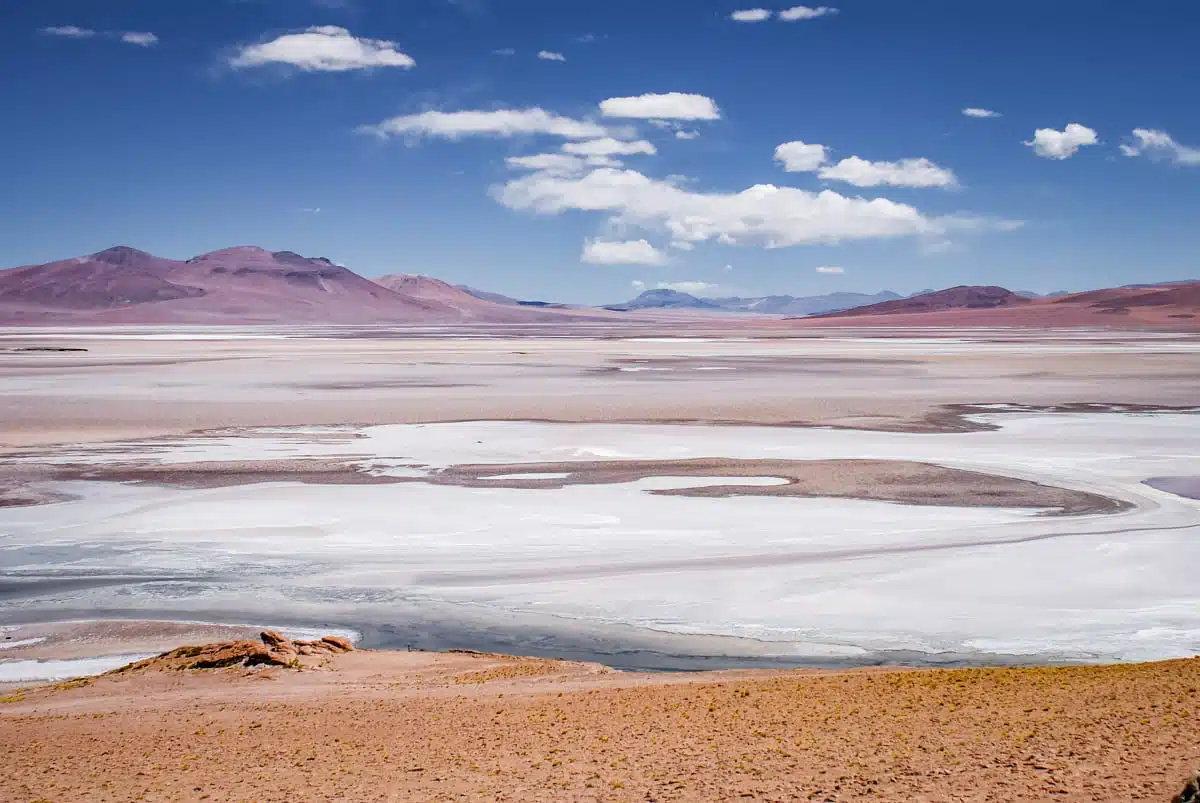

Chile’s Atacama boasts ethereal landscapes, vast sceneries and the chance to get up close and personal with more than a few volcanoes. I’ve explored it twice: first on a week-long campervan road trip in February, covering around 1,000 miles on my own, and then in July, in the depths of the southern winter, with a private guide. These are my favourite Atacama Desert photos from both trips, along with where to find each view and what you need to know to see it for yourself. Pictures of the Atacama Desert that look straight out of another world.
Some links in this article may be affiliate links, which means we may receive a small commission, at no additional cost to you, if you decide to purchase through one of my recommended partners.
Laguna Tebinquinche

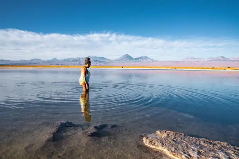
Set in the midst of the Salar de Atacama, a ring of volcanoes surround the large Laguna Tebinquinche, less than an hour’s drive from San Pedro de Atacama.
The perfectly reflective surface means it should be top of your list when it comes to taking in the top views on a visit to the Atacama Desert.
The vast lake reflects the colours, hues and shapes of the surrounding skies and volcanoes. Check it out at sunset for extra wow factor. I parked up here on the first night of my campervan trip, sat with a glass of wine while the stars and planets appeared one by one, and was back on the shore for sunrise the next morning, which is when I took this photo.
The lake is on land managed by the Coyo community, which charges a small entry fee (CLP 6,000 for adults, in cash). If you’re not driving, this Cejar, Tebinquinche and Ojos del Salar tour finishes here at sunset. For the best reflections, go when the air is still: the wind tends to pick up across the salt flat as the day goes on.
Sunrise over Lascar volcano
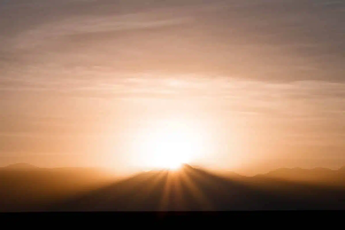
The sun peeks over a row of volcanoes, rising at the centre of Lascar volcano. Sunrise in the Atacama Desert is always a spectacular sight, but the perfect silhouette of the volcanoes and the bright sunlight really made this one for me.
Get to your viewing point early: in February, the sun comes up at around 7.15am, and the sky starts to change colour a good half an hour before that.
Watching the crazy colours and changing hues makes it worth every lost minute of sleep though. Really, trust me on this.
At 5,592 metres, Lascar is the most active volcano in the northern Chilean Andes. You’ll see it on the eastern horizon from all over the Salar de Atacama, so any spot on the salt flat with a clear view east will do. Bring a long lens if you have one: it’s what makes the sun look so big against the summit.
Flamingos at Laguna Chaxa
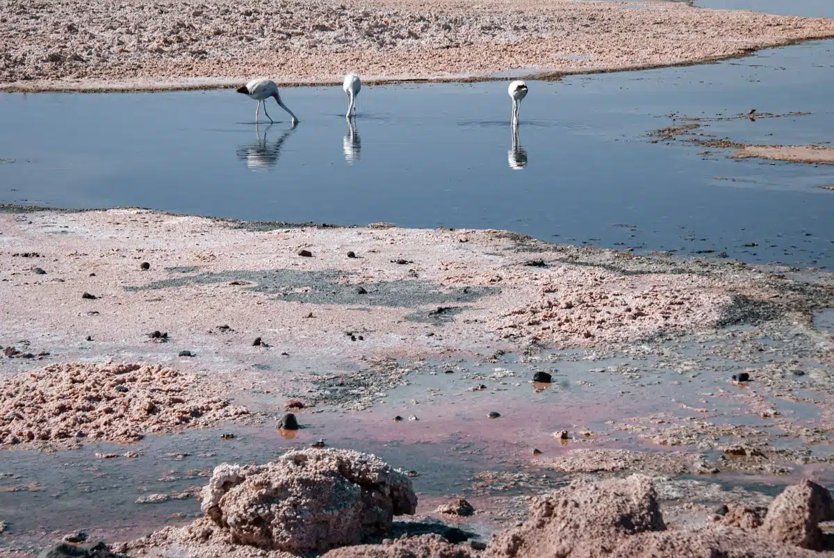
Flamingos abound at many of the Atacama Desert’s lakes, none more so than in Laguna Chaxa.
The pastel colours of Laguna Chaxa provide the perfect backdrop to the flamingos that feed in the lake all year round.
Laguna Chaxa is home to three kinds of flamingos: the James’s flamingo, the Andean flamingo and the Chilean flamingo. They’re drawn to the microorganisms and algae that live in the lake and on which they feed.
Abundant as the flamingos were, this little trio totally captured my heart. Plus, look at the colours of that lake. Love.
I stopped off at Chaxa bright and early on my road trip, and I’d recommend the same: the light is softer and the birds are busy feeding. The lake is about an hour’s drive south of San Pedro, in the Soncor sector of the Los Flamencos National Reserve. It’s run by the Toconao community, and tickets are now sold online in advance (around CLP 14,000 for foreign visitors). Stick to the marked trail and bring your longest lens, as the flamingos keep their distance.
Laguna Cejar
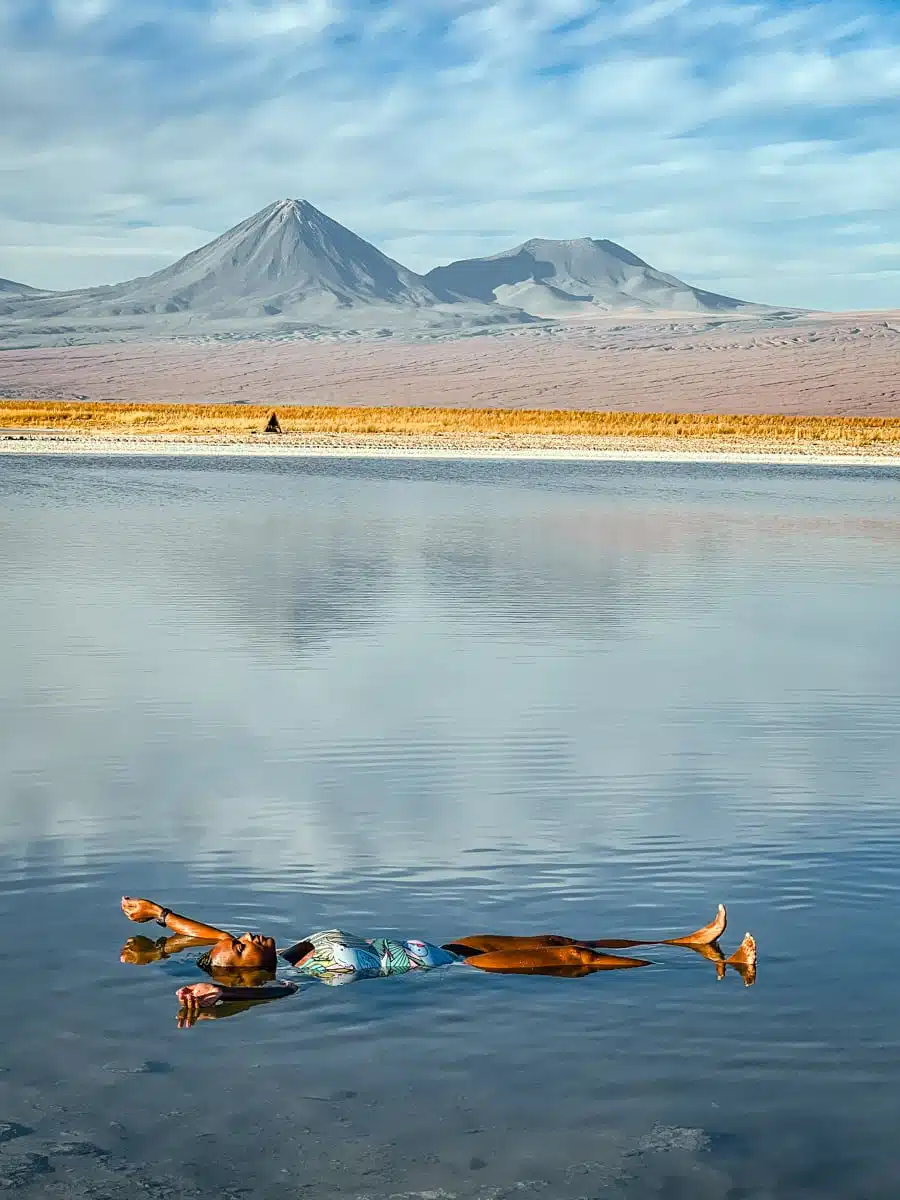
Not every Atacama photo has to be a landscape. Laguna Cejar was my first stop on my July trip, straight from the airport, and this is me floating on my back with the volcanoes lined up on the horizon. Think Dead Sea vibes: the water is so salty that you’ll never make it down to the bottom, no matter how hard you try.
My top tip? Don’t get your face wet, as the salt stings if it gets in your eyes. Strictly speaking, the swimming happens in Laguna Piedra, the smaller lagoon in the Cejar complex, as Cejar itself is protected. Carry on past it to see the neighbouring lagoon, which is a favourite with the local flamingos.
Cejar is a short drive south of San Pedro. Tickets (CLP 15,000 for adults) are sold online for a set date and time slot, so book ahead, and bring a towel, fresh water to rinse off and a warm layer for when you get out.
Salar de Talar and Piedras Rojas
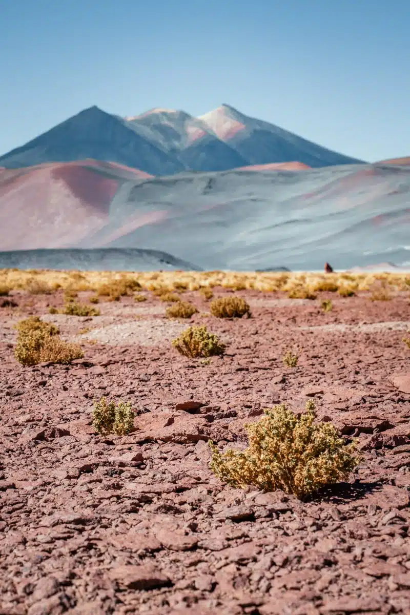
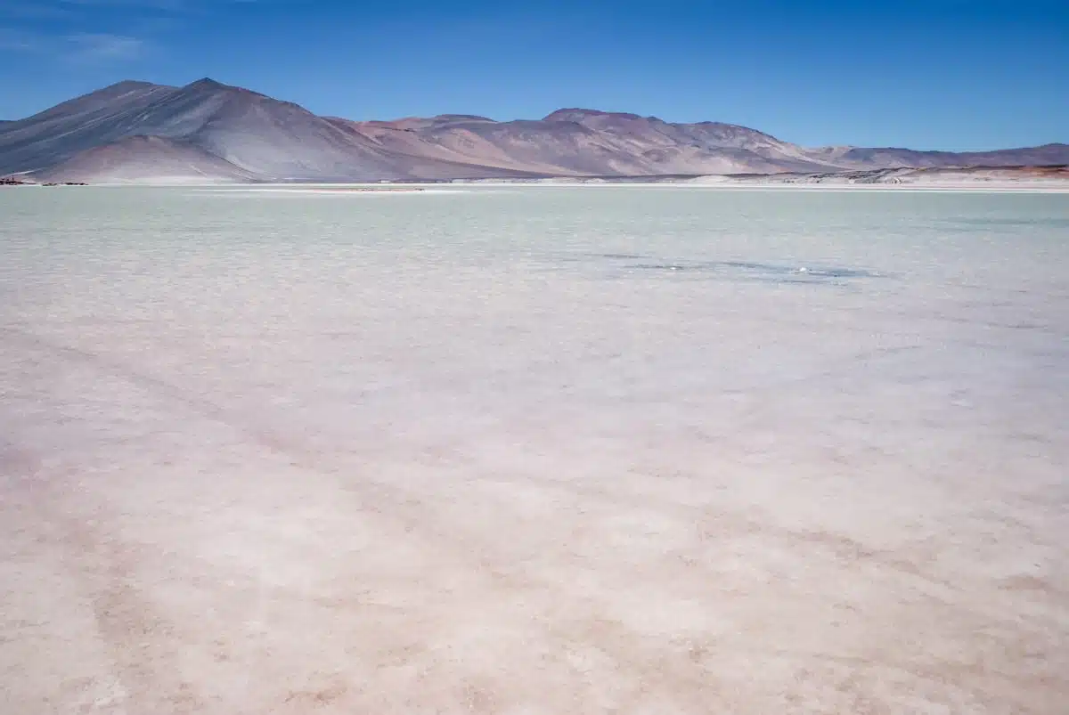
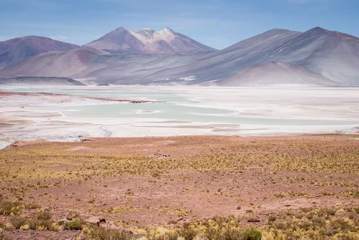
Speaking of crazy colours, the Salar de Talar may have just won the prize for the most incredible landscape so far.
The waters range from pastel pink and light stone through to bright teal.
The salt flats might not have the crazy crusts of its Bolivian cousin, the Salar de Uyuni, but I think it wins in the out-and-out breathtaking landscape competition.
If you’re feeling active, you can hike along the Piedras Rojas, the red rocks on the salar’s shore: it’s a beautiful hike but the altitude means that you’ll be walking slower than you ever thought possible and still get out of breath when you have to climb a big rock (or maybe that’s just me). The advice I’d been given before I set off suddenly made complete sense: “Walk up like an old man and you’ll be able to come down like a young bull.”
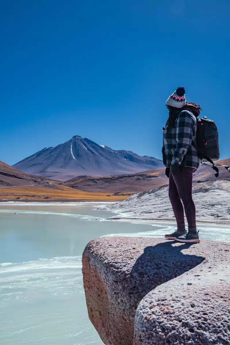
When I went back in July, the lake was frozen, which made for a really cool contrast with the red rock. Be sure to walk down to the water: frozen, it looks more like a piece of turquoise than water. Winter is the time to see it at its brightest, too, as the water levels are lower and the minerals more concentrated.
On my first trip there was no marked path. The local community from Socaire has since built one in exchange for paid access, and the walk now takes about an hour, mainly because you have to move slowly at around 4,000 metres. Piedras Rojas is about 150km and two and a half hours from San Pedro, on the road that eventually leads to Argentina, and tickets for it and the Miscanti and Miñiques lagoons are now sold together online (around CLP 13,000 for foreign visitors).
Lagunas Miscanti and Miñiques

I missed these lagoons on my first trip to the Atacama. Big mistake. Laguna Miscanti is a deep, dark blue, ringed by volcanoes, with sulphur crusting its edges.
From Miscanti, I climbed over an outcrop of lava to reach Laguna Miñiques. Although Miñiques is fed by Miscanti, it’s a completely different colour, because the water is filtered as it flows through the volcanic rock between the two.

Look out for vicuñas, which blend in so well with the yellow grass that you have to look carefully to spot them. The lagoons are about 115km from San Pedro and sit at over 4,000 metres, so save them for a few days into your trip. They share a ticket with Piedras Rojas, so it makes sense to see them on the same day. My guide to visiting Lagunas Miscanti and Miñiques has more.
Valle de la Luna (the Valley of the Moon)

No need to ask why this valley is called the valley of the moon: the eerie rock formations and salt crusts make you think you are walking through some kind of lunar landscape.
Thousands and thousands of years of strong winds carved a landscape that is unlike any other you’ll have ever seen before. The “dunes” and “mountains” within the valley are built up of thin layers of sand, clay and salt, and each layer is individually identifiable when you get up close.
The Valle de la Luna is one of the Atacama’s most popular destinations: at sunset, the tour buses empty out and it’s swarming with people trying to get the perfect snap.
I went at sunrise instead, and I had the whole place to myself. A giant lunar playground for photographs and wows galore.
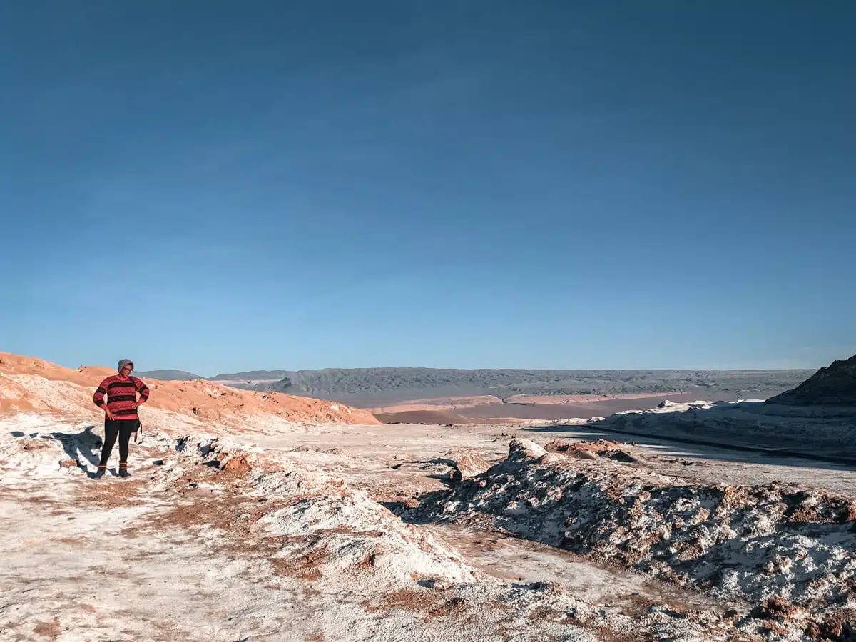
Things work differently now. Tickets (CLP 10,800 for adults) must be bought online in advance for a specific date, you can only enter by vehicle or bike, and the gates open at 8am from April to August and 9am from September to March, so a true sunrise visit is no longer possible. Going first thing is still the best way to beat the sunset crowds, and the low morning light brings out the texture in the salt. If you’d rather leave the driving to someone else, this Valle de la Luna sunset tour is one of the best reviewed (entry is extra).
Ckamur and the Valle de la Muerte
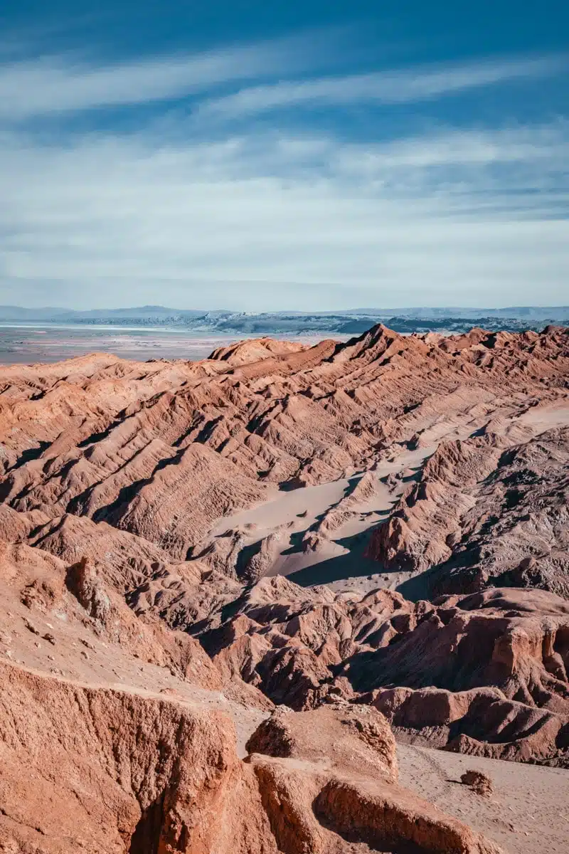
On my July trip, Ckamur was my answer to the sunset crowds at the Valle de la Luna. It sits just outside San Pedro in the Valle de la Muerte (Death Valley), it was free to enter when I visited, and you can hike, cycle or go quad biking here. For sunset, hike up the ridge of one of the peaks, then shuffle down its sandy side to reach the valley floor again.
It feels too easy to say that this looks like another planet, but there’s no denying it does. In fact, it was used as a filming location for The Mandalorian. What you won’t recognise is the iconic Licancabur volcano poking up behind the valley: the filmmakers cut off the top of it so the location wasn’t so identifiable.
Salar de Quisquiro
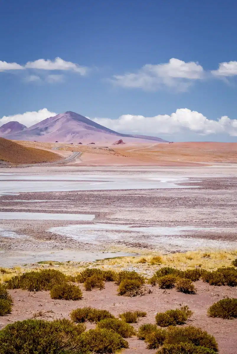
You know that feeling when a landscape is so large and so vast that it makes you feel like an insignificant ant?
That.
The Salar de Quisquiro (also called the Salar de Loyoques) is one of the last in a string of incredible landscapes on Ruta 27, the road from San Pedro de Atacama over the Paso de Jama to the Argentinean border.
The salar stretches as far as the eye can see in a swirl of salt, sand and water. Set at an altitude of around 4,150 metres, it literally feels like you are on the top of the world. I turned a corner and there it was, and the view kept on unfurling in front of me, to the point where it was impossible to take it all in at once.
If you’re heading over to Argentina, make sure you stop off in Salta, a long day’s drive on the other side of the border (the bus from San Pedro takes around 11 hours).
Otherwise, wend your way back down the 27 for more amazing views: make sure you grab a pic of Licancabur and take a peek at Bolivia’s Laguna Verde along the way. I caught a glimpse of its vivid colours through the volcanoes as I passed the turnoff for Bolivia. The road is shared with truckers hauling goods into Argentina, who take every slope and turn at speed, so pull right off the road before you stop for photos.
Salar de Tara
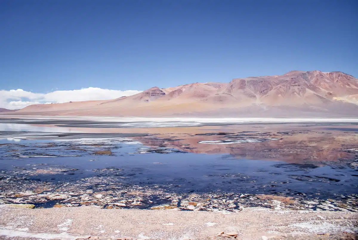
Salar de Tara is located pretty close to Quisquiro, off Ruta 27, and is another one of my absolute favourite spots for taking Atacama Desert photos.
Tara sits in the caldera of the ancient Vilama volcano, at around 4,300 metres, and is another flamingo hotspot in the area.
The waters are rich in algae and microorganisms, which not only draws the flamingos, but also makes for some pretty amazing colours in the water.
Keep your eyes open for the salar’s abundant wildlife, including vicuñas, desert foxes and Andean geese. You can head off the main road on a dirt track to get closer to the salar, but you’ll need a 4×4, so most visitors come on a guided tour from San Pedro, about 120km away.
Los Monjes de la Pacana
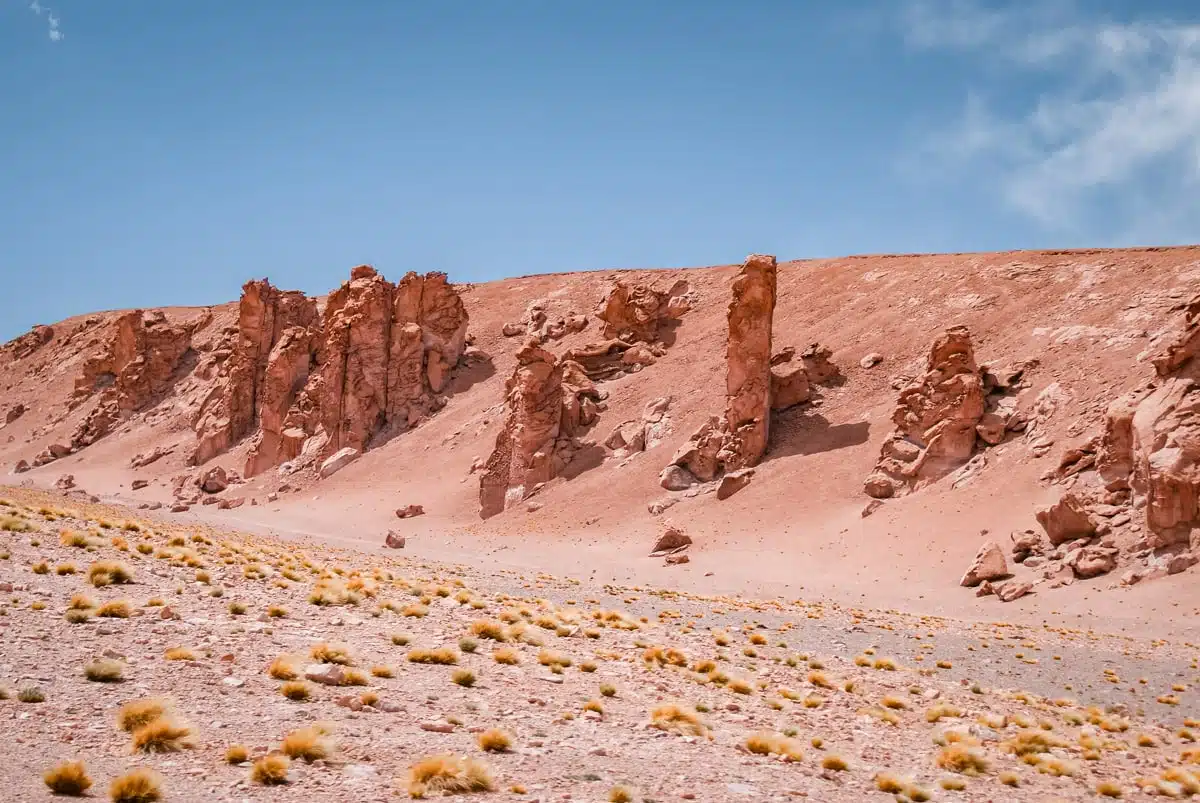
On the high plain near the Salar de Tara, giant vertical rocks rise out of the grassland. Wind erosion has carved them into the silhouettes of monks, which is how they got their name, though others call them sentinels, watching over the desert. I passed them on the drive out along Ruta 27, and they’re a regular stop on tours to the Salar de Tara. The red rock looks its warmest in the afternoon, with the sun behind you.
Dawn over the El Tatio geysers


It’s an early start but dawn over the El Tatio geysers is a must-see for anyone visiting the Atacama Desert.
On my road trip, I was on the road at 5am in the freezing cold and just about made it for the beginning of the dawn (stressful).
It’s so worth the effort though, watching the sun rise over the geyser field and the random (and sometimes quite violent) eruptions of more than 80 active geysers was something to behold.
If you’re a bit of a wimp like I am, wrap up warm because it is COLD.
At one point I was pressing the shutter release with my chin because my fingers had totally stopped working. The solution? Incredibly unladylike but very effective: shove your hands into your trousers until feeling returns. I can recommend.
I went back on my July trip, leaving at 3am, and it was -15°C when I arrived. The geysers are most active at sunrise and calm down as it warms up, so time your arrival for first light. Head to the southern field for the geysers just as the sun comes over the Andes: as it catches the steam from one of the fumaroles, the minerals light it up in a rainbow of colours. My guide Rodolfo called it “nature’s fireworks”, and I can’t think of a better way of describing it.
The field is about 89km north of San Pedro, at around 4,300 metres. Wear layers, a hat, gloves and thick-soled shoes, as you can feel the cold ground through thin soles, and stick to the marked paths. Entry costs CLP 15,000; this El Tatio sunrise and breakfast tour covers it, paid in cash to the agency in advance.
Vicuñas on the way down from El Tatio
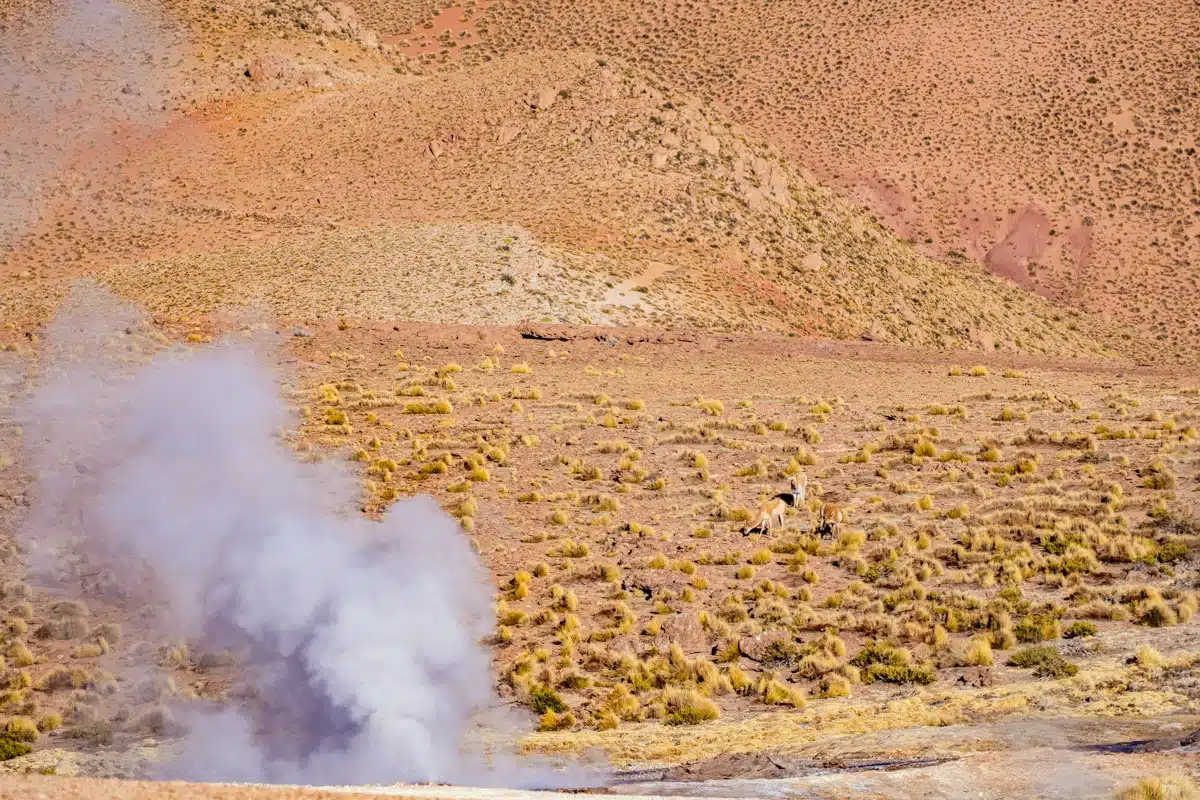
Whatever you do, don’t head straight back to San Pedro after the geysers. On my July trip, I had a picnic breakfast in a quiet river valley on the way down, with vicuñas and rheas grazing around me, a stream running past and nobody else there. Vicuñas are the wild ancestors of the alpaca, and they’re shy, so stay in or near the car, keep your voice down and let them come into the frame rather than walking towards them.
Sunset over Guatín canyon
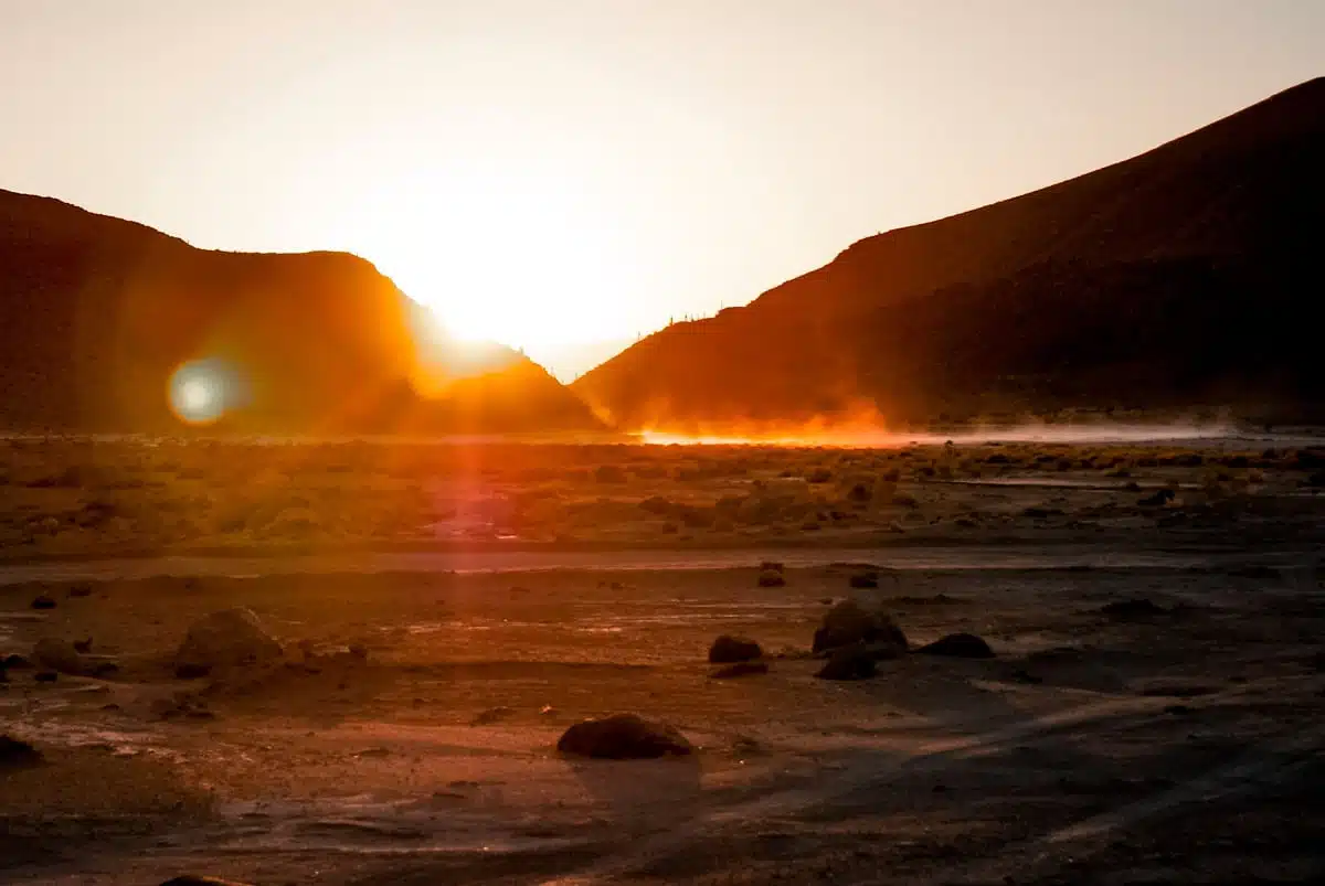
Guatín is a tiny little hamlet on the road from San Pedro de Atacama to the El Tatio geysers.
It’s the starting point for a trek into the cactus canyon (more on that anon) and makes for a stunning backdrop to sunset.
I slept in Guatín for the night before heading up to El Tatio, and the stars put on a pretty amazing show that night, but the beautiful glow of the sunset over the canyon was unlike anything else I saw on my trip.
Cactus canyon, Guatín

The cacti in the Guatín canyon tower over their surroundings: they grow up to 7 metres tall, with thick, chunky trunks and spines covered in huge prickles (don’t get too close).
You hike in through the riverbed, where the Puritama and Purifica rivers meet, and the surrounding valley sides are covered in towering cacti. I walked in on my way back from El Tatio without seeing another soul, then simply turned round when I was satisfied, as there’s nobody to pick you up at the other end.
Don’t forget to look back for an amazing view of the canyon framed by the Atacama’s ever-present volcanoes.
The Milky Way over the Atacama
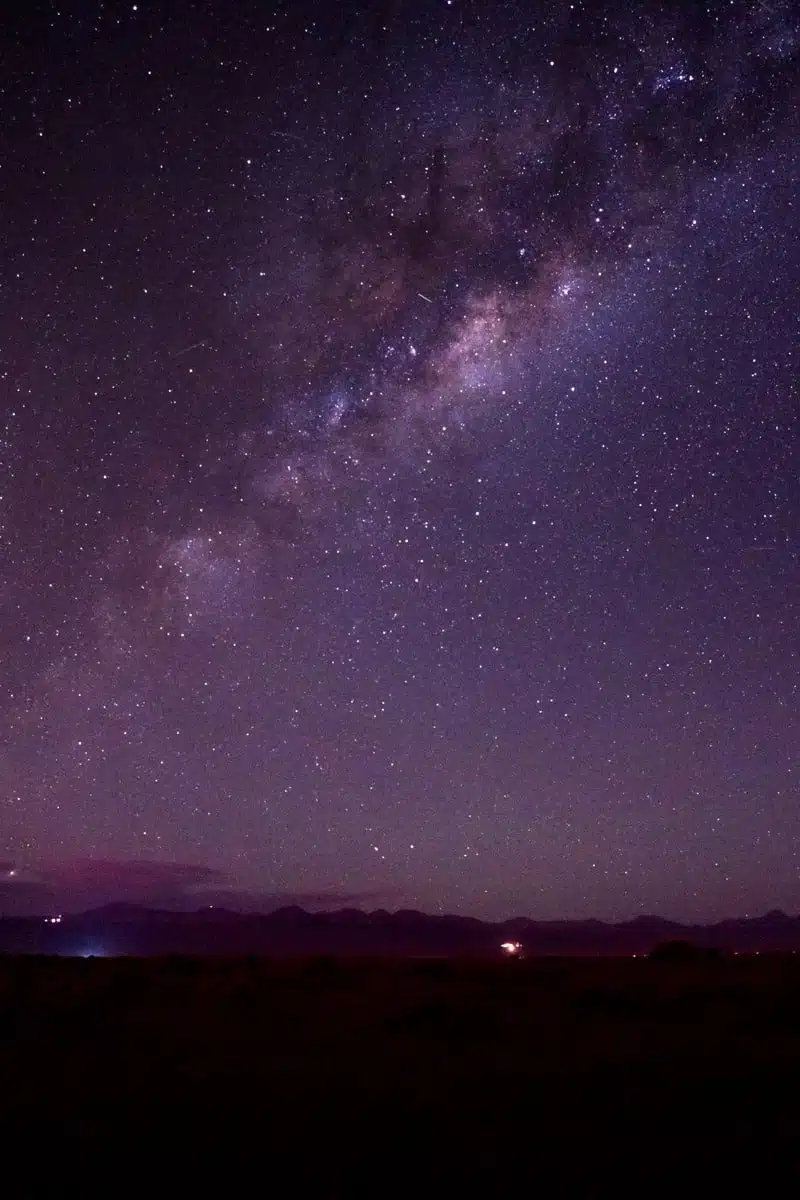
I can’t leave out the Atacama’s night skies. On my July trip, I stayed at Nayara Alto Atacama, which has its own observatory, and I took some of my best photos of the Atacama skies there after the evening session finished. The resident astronomer showed me the Southern Cross and how to use it to find the south celestial pole.
My top tip for night photography? Bring a tripod and a remote shutter release. On the first night of my campervan trip, I realised I’d left mine at home in the UK and spent hours holding my breath and handling the camera as gently as I could to stop it shaking. The clearest skies tend to come from April to September, and for the Milky Way, plan around a new moon. If your hotel doesn’t have an observatory, book a session with a local astronomer, such as this stargazing and Andean astronomy tour. My guide to stargazing in the Atacama Desert has more.
PS Looking for more Chile travel inspiration? Check out these handy guides.
- Road tripping: unmissable things to do in the Atacama Desert
- My Atacama Desert map
- How to spend three days in the Atacama Desert
- Where to stay in the Atacama Desert
- The coolest spots in Chile
- My Chile itinerary
- Hiking the Torres del Paine
- Five step-by-step South America travel routes
- The ultimate South America bucket list
Love this? Save and share on Pinterest
Discover the top things to do, insider tips and hidden gems in our Chile Travel Guides.
Read the guides →





We haven’t made it to South America yet, but it’s definitely on our list! This is a great add to that sublist of South American destinations btw, the landscapes are awesome indeed. And maybe I can combine this with my bucket list item “seeing a flamingo in the wild”. 😉 Preferably a flamboyance (love that word) of flamingos actually, but then I have to go in summer you say?
Ah, South America is incredible – can’t stop myself from going back each year! Yes – you can definitely combine it with seeing some flamingos! They said that flamingo season in the Atacama was in their summer (UK winter) but I’ve definitely been to Bolivia just over the border in July/August and seen tonnes of them too. Mildly obsessed with flamingos!
Beautiful pictures. Bolivia and CHili are very high on my bucketlist. These pictures only make me want to go more.
So recommend – they are awesome destinations!
The landscapes in Chile look just incredible. I’d love to see these places with my own eyes! Thank you for the inspiration to go to Chile one day!
They are – was in Patagonia last year and it’s totally different but also pretty awe-inspiring! Here’s hoping you get to Chile, it’s incredible!
Wow Julianna, this landscape is stunning! I have a friend traveling through South America right now and I’m definitely sending her this post to make sure she hits up the Atacama desert!
Thanks! She really should – I wanted to go pretty much each time I’ve been to South America but haven’t – so glad I made it this time because it was incredible.
This landscape is so strange and beautiful! I love nature and it would be amazing to get there one day…btw, I had no idea there were so many kinds of flamingos!
It’s really bizarre but beautiful. Every place looks so different too. I know- I became a bit obsessed with them when I was in Bolivia and now am all over flamingo chasing on my travels ?
I can totally see why! I would succumb to the flamingo charm all the same if I had the chance 😀
Beautiful pictures, thanks for sharing!
Agree about the tip on trousers, I have done that before :)) Stunning images, beautiful descriptions! I really enjoyed this glimpse into another world.
Yup, my fingers were so cold! Thank you Alina, so glad you liked 🙂
Wow these photos are stunning. It looks like you’re on another planet!
I really need to get down to South America.
Totally agree that you do – South America is full of some incredible landscapes. As a continent, it has a special place in my heart.
Beautiful photos! Almost looks like an alien planet. I particularly liked the sunrise over the volcano and the geyser shots- gorgeous!
Thanks Hannah, so glad you like the post. It really does look like an alien planet. I loved it so much!
Amazing!This is bringing back some great memories! I haven’t gotten around to writing about my trip there yet. So so beautiful…but seriously, how cold was it getting up to see the Geysers????!!!!! :-O Will pin this on my Chile board 🙂
so glad that you like it Hannah! I wish I were back there now. It was freezing at the Geysers – I really thought my fingers were going to freeze to my tripod!
I had no idea that the Atacama desert had so many things to offer! I haven’t made it to Chile yet – I keep coming back to Central America – but South America is on my list for next year!
It’s so brilliant – totally love South America but this trip was completely up there with the best!
I’ve been to several of these places and they’re truly amazing!! The Atacama Desert is one of the most BEAUTIFUL STUNNING places in the world! These pics show it!
I totally agree! Nothing had quite prepared me for the fact that it was so incredible!
I’ve been to those places too. It is just amazing !! It is really difficult to say which place is my favorite one on the North of Chile… If I have to choose only one place within this area: the Salar de Uyuni !! If you want to see some pictures, http://www.c-ludik.fr/en/south-america/bolivia/
I actually preferred the lakes in the Atacama to the Salar de Uyuni – do love the whole altiplano area though!
I went to the geysers early in the morning and thought I was going to freeze to death haha! Definitely needed a few more layers on that day! Your photos in this article are fantastic! 🙂