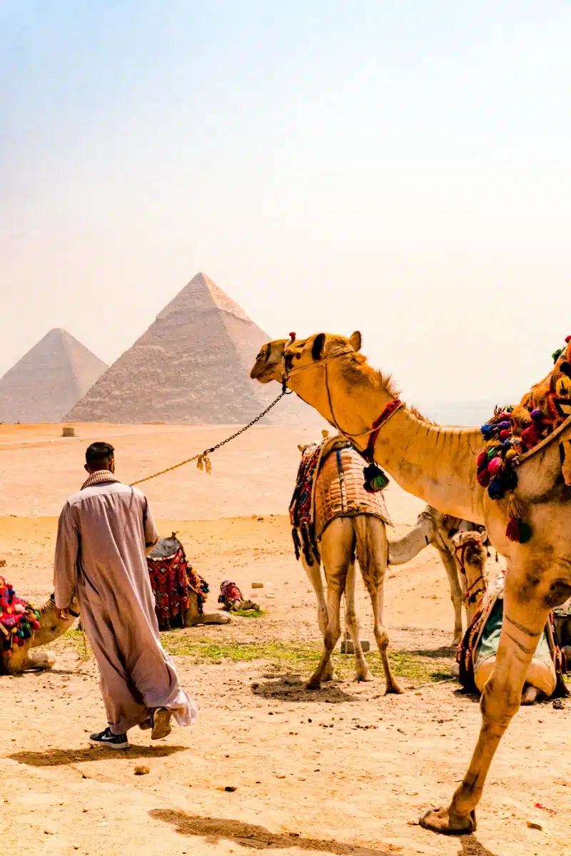
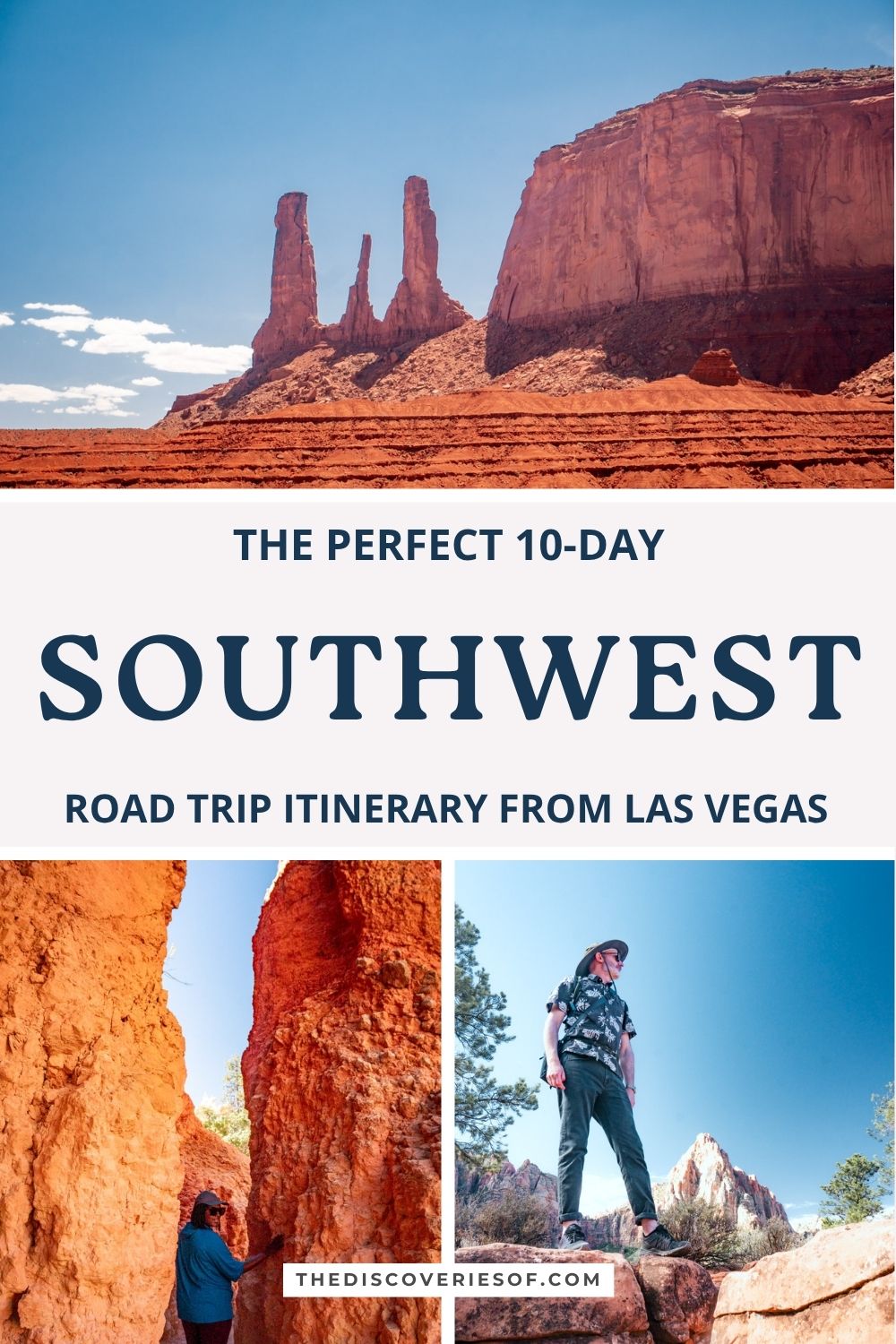
Ten days is enough to see the Grand Canyon, Antelope Canyon, Horseshoe Bend, Monument Valley, Zion and Bryce Canyon on one unforgettable road trip from Las Vegas. This is my day-by-day Southwest road trip itinerary, with where to stay, what to book ahead and the drives in between.
There’s something mystical about this land of towering hoodoos and vertiginous canyons: something that doesn’t feel quite of this earth, even though its most striking features are made of it. The trouble is that the Southwest is vast, the parks are hours apart, and it’s hard to know how to fit everything in without spending the whole trip behind the wheel.
I road-tripped through northern Arizona and southern Utah in early summer, from the Grand Canyon’s South Rim to Zion, Bryce Canyon, Capitol Reef and Page, and this itinerary distils that trip into a 10-day loop from Las Vegas. It’s built around the places I’d go back to in a heartbeat: walking the Grand Canyon’s Rim Trail and flying over it by helicopter, Upper Antelope Canyon, sunset at Horseshoe Bend, Monument Valley, the Watchman Trail and the night skies in Zion, and the hoodoos of Bryce.
This itinerary assumes you’re hiring a car in Las Vegas and driving a loop back there, with two or three nights in each base so you’re not packing up every morning.
Before you go: at the end of August 2026, a flash flood damaged the Grand Canyon South Rim’s water pipeline, and the hotels inside the park have been closed to overnight guests since. The Xanterra-run lodges are due to reopen in phases from 20 November 2026; Yavapai Lodge hasn’t given a date. Hotels in Tusayan, just outside the South Entrance, are unaffected. Check the National Park Service’s alerts before you travel.
Your 10-day Southwest road trip at a glance
- Days 1 to 3: Las Vegas to the Grand Canyon South Rim: Mather Point, the Rim Trail, sunset on Hermit Road and a helicopter flight
- Days 3 to 5: Page: Desert View Drive, Upper Antelope Canyon, Horseshoe Bend and a day trip to Monument Valley
- Days 6 to 7: Zion National Park: the Watchman Trail, Zion Canyon and dark skies
- Days 8 to 9: Bryce Canyon National Park: sunset and sunrise over the amphitheatre and a hike among the hoodoos
- Day 10: back to Las Vegas
Southwest road trip days 1 to 3: the Grand Canyon from the rim and the sky
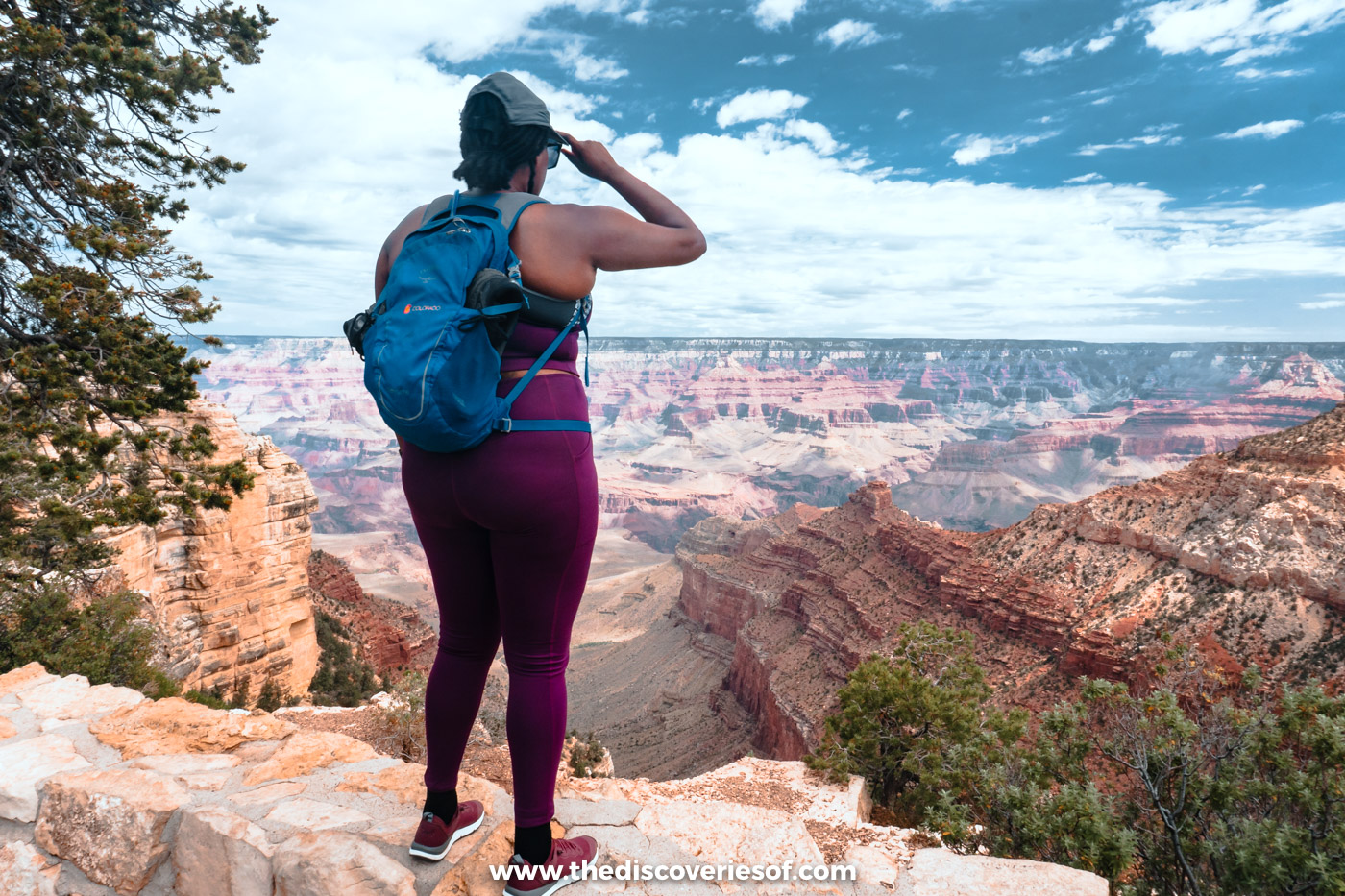
There’s nothing quite like your first look at the Grand Canyon: layer upon layer of rock dropping away into the abyss and winding off to the horizon as far as you can see. Head for the South Rim, which is open all year and has the most to see; the North Rim is a four-hour drive away and only open in summer.
Day 1: from the Strip to the South Rim for sunset
The drive from Las Vegas to the South Rim takes about four and a half hours, via the Hoover Dam bypass, Kingman and Williams. Set off early so you arrive with time to settle in.
Head straight to the Grand Canyon Visitor Center and walk five minutes to Mather Point, the classic first view. It’s where I watched my first Grand Canyon sunset, as the sky turned orange over the canyon. It’s busy, but it’s busy for a reason.
Day 2: walk the Rim Trail to Hermit Road’s best sunset spots
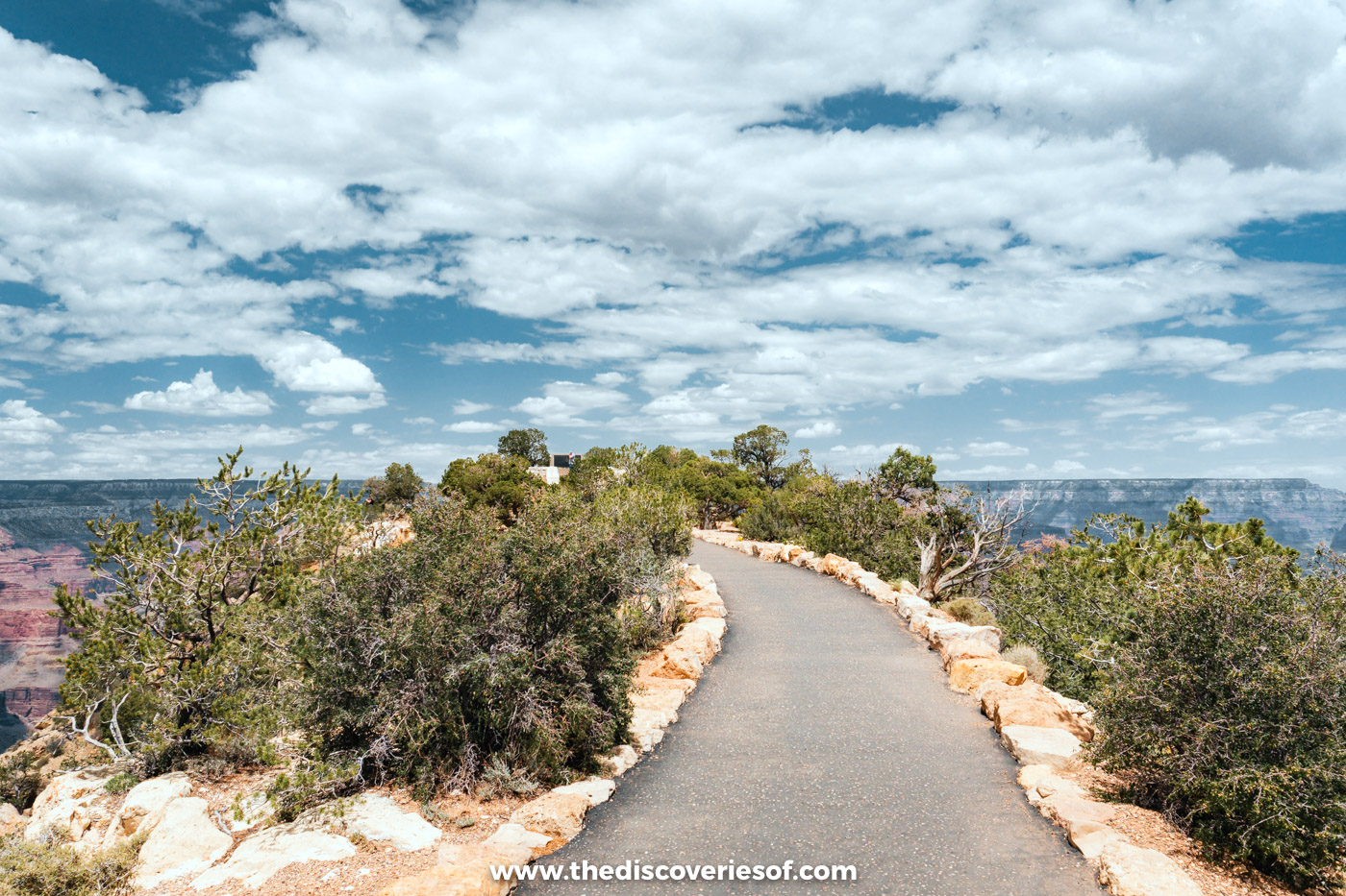
The Rim Trail was by far my favourite walk at the Grand Canyon. I pooh-poohed it at first because it sounded too easy, but I’m so glad I did it: it’s easy to follow, there’s just enough change in height and terrain to keep it interesting, and the views are incredible the whole way.
It runs for about 13 miles along the South Rim, but you can walk any section and hop on the free shuttle buses back. I’d walk west from the village along Hermit Road, past Maricopa Point and Powell Point. Between Powell Point and Monument Creek Vista, it becomes a narrow dirt path very close to the edge, so take the shuttle for that stretch if you don’t like heights.
Stay out on Hermit Road for sunset at Mohave Point or Pima Point, two of the best spots on the South Rim. Hermit Road is closed to private cars from March to November, so use the free red shuttle, and check the time of the last bus back.
Top Tip
Pack a lunch, as there’s nowhere to buy food along most of Hermit Road. Bring salty snacks and a big water bottle too (and, during the 2026 water restrictions, all the water you need). The rim is around 7,000 ft up, and I felt the altitude more than I expected.
Day 3 morning: see the canyon from a helicopter
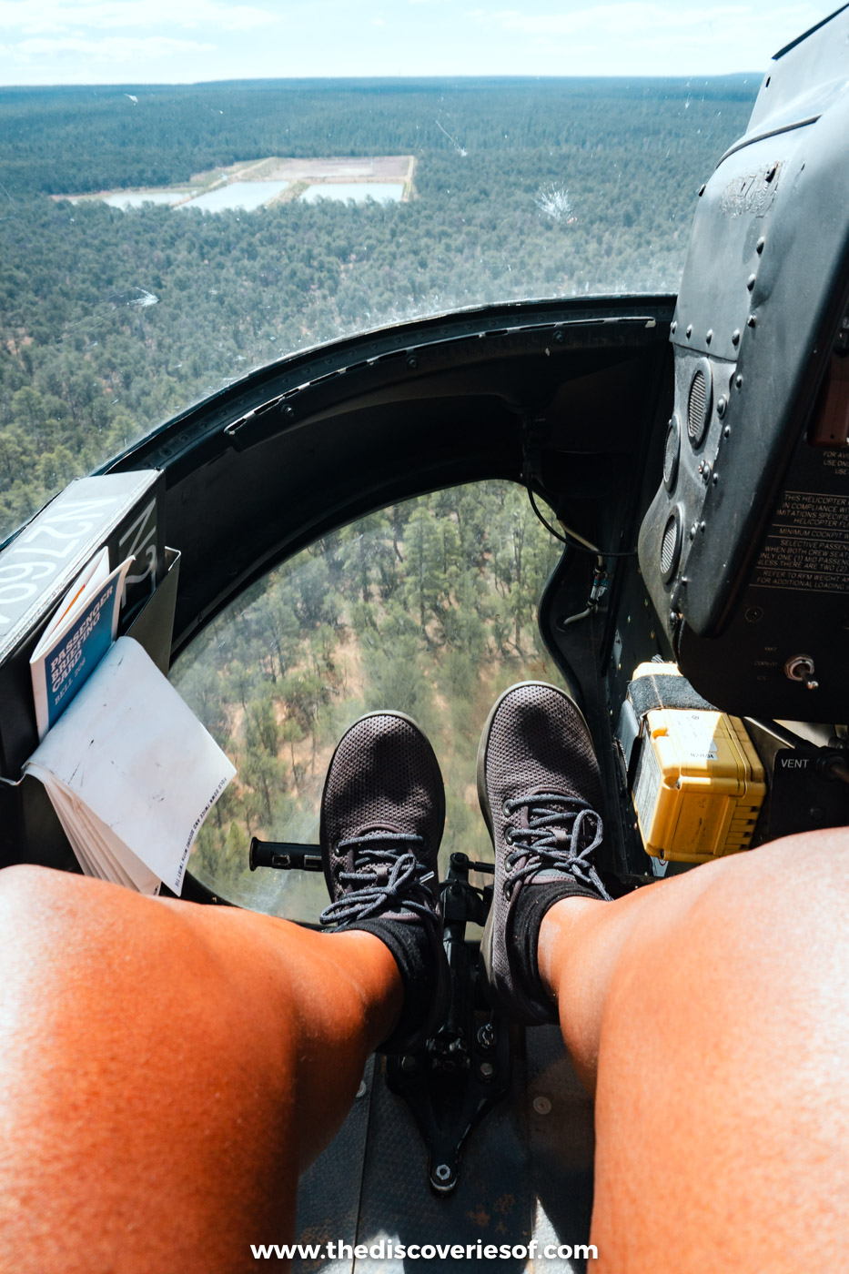
Before you leave, see the canyon from the air. I flew with Papillon on their North Canyon tour from Grand Canyon Airport in Tusayan: you take off over the pine forest, then the ground falls away at the rim and the scrubland transforms into a miasma of colours and shapes. Pay the extra for a front seat if you can, bring photo ID, and expect it to be bumpy on windy days.
Do
Book the North Canyon helicopter flight, around 25 to 30 minutes.
Read Next
Suggested stay
I stayed at Yavapai Lodge inside the park, which was the best-value option and a short walk from the rim. With the in-park lodges closed until at least 20 November 2026, stay in Tusayan, ten minutes from the South Entrance: The Grand Hotel at the Grand Canyon is a comfortable lodge-style base with an indoor pool. See my guide to where to stay at the Grand Canyon for more options.
Southwest road trip days 3 to 5: Page’s slot canyons and Monument Valley
Page is a small town on a mesa above Lake Powell, but it’s the base for some of the most extraordinary landscapes in the Southwest: the slot canyons of Antelope Canyon, Horseshoe Bend and, a couple of hours east, Monument Valley.
Getting to Page: Desert View Drive and the road north
From the South Rim, leave the park along Desert View Drive, which follows the rim east for about 23 miles. Stop at Grandview Point and the Desert View Watchtower, Mary Colter’s 1932 tower with some of the widest views on the South Rim, before heading out through the East Entrance to Cameron and north on US-89. The whole drive takes about two and a half hours.
The road is as much a part of the adventure as the places themselves. Driving north from the Grand Canyon, I caught glimpses of a landscape so stunning that it would have been a landmark itself had it not sat on the doorstep of such a mighty neighbour. Have dinner at El Tapatio: it’s part of a small chain, but the Mexican food was epic. Go for a taco combination plate.
Day 4: Upper Antelope Canyon and sunset at Horseshoe Bend
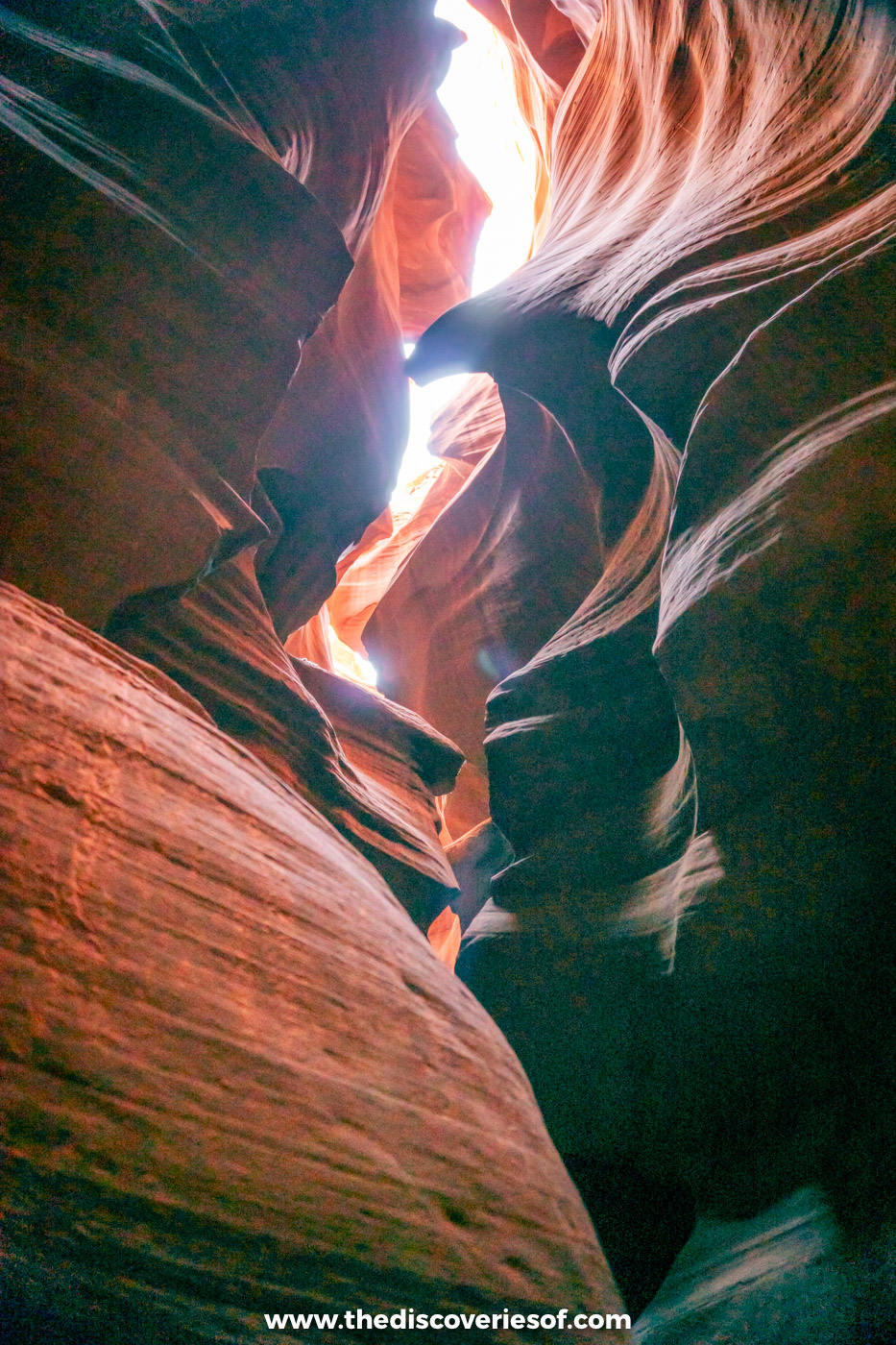
You can only visit Antelope Canyon on a tour with a Navajo guide, so book ahead. I did this Upper Antelope Canyon walking tour, which was great, weaving through the narrow, curving passages as the light filtered down from above. The famous light beams appear around the middle of the day from late March to early October.
Top Tip
Arizona doesn’t use daylight saving time, but the Navajo Nation does, so in summer your tour time may be an hour ahead of the clocks in Page. Check which time zone your booking is in.
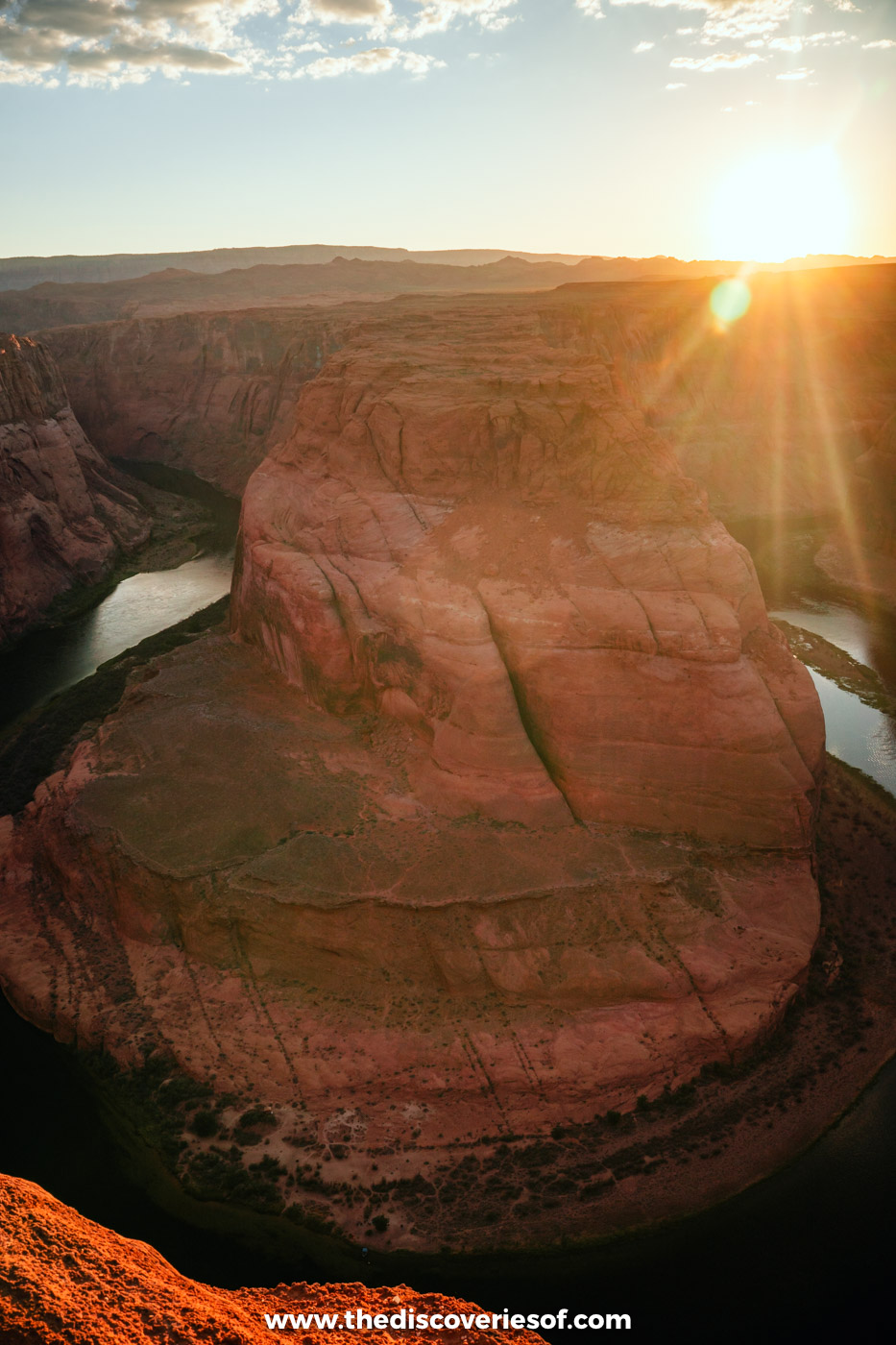
In the late afternoon, drive 10 minutes to Horseshoe Bend, where the Colorado River loops round a great dome of sandstone 1,000 feet below. The walk to the overlook is really easy, about 20 to 30 minutes each way on a clear path, and sunset is stunning, though you’ll be sharing it. Parking is $10 per car.
Afterwards, head to Birdhouse for fried chicken or Grand Canyon Brewing + Distillery next door for a cold beer (I went for the margarita).
Read Next
Day 5: a day trip to Monument Valley’s red buttes
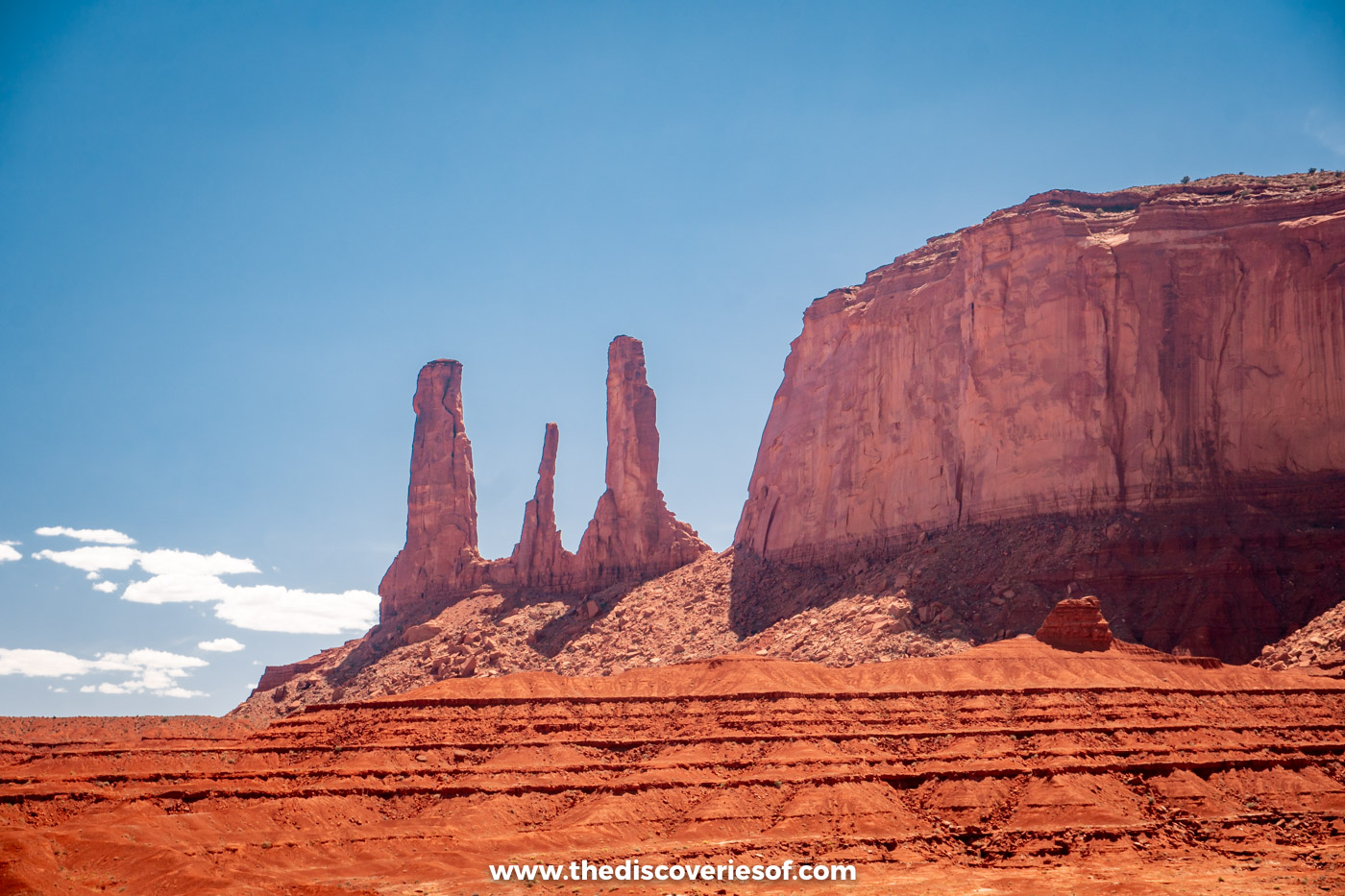
Monument Valley is a longish drive from Page, about two hours and 15 minutes each way, but it’s worth it. The red buttes rising out of the desert on the Arizona-Utah border are some of the most famous views in the American West. Drive the 17-mile Valley Drive yourself (it’s unpaved and sandy, and closed to RVs and motorbikes) or join a tour with a Navajo guide to reach the backcountry.
Carry on a few miles into Utah on US-163 to Forrest Gump Point, where the road runs dead straight towards the buttes, before heading back to Page.
Read Next
Suggested stay
I stayed at the Best Western View of Lake Powell, a good-value hotel on the rim of the mesa with views over Glen Canyon, a pool and a free breakfast.
Southwest road trip days 6 to 7: Zion’s red cliffs and starry skies
Zion is Utah’s most visited national park, a deep canyon of towering red and cream cliffs carved by the Virgin River. Most people come for Zion Canyon itself, but there’s just as much drama on the road in.
Day 6: into Utah and up the Watchman Trail
The drive from Page to Springdale, the town at Zion’s main entrance, takes about two hours and 15 minutes. You cross into Utah just after Page, and it’s one of the most surreal drives I’ve ever done, though this trip was full of them: a carpet of ochres and yellows sharply delineated by the red rocks the area is famous for, before it drifts into purple and merges with the sky, vaster than you’ve ever seen.
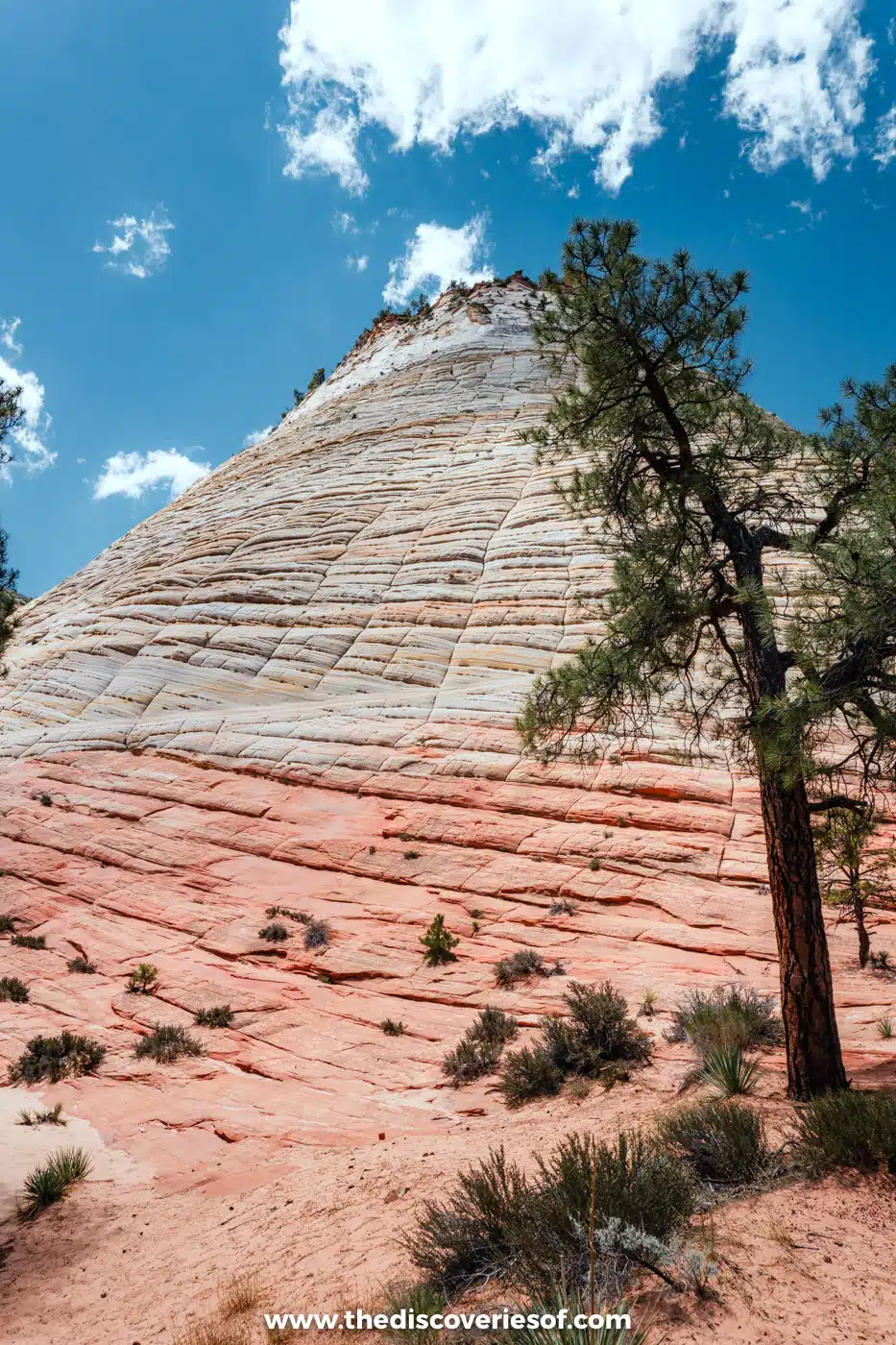
You enter the park on the Zion-Mount Carmel Highway, which winds past Checkerboard Mesa and through a 1.1-mile tunnel before dropping in switchbacks into Zion Canyon. The section between Mount Carmel Junction and Zion is spectacular in its own right. Large RVs are now banned from this road, but ordinary cars are fine.
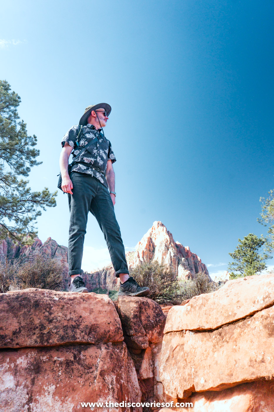
In the late afternoon, hike the Watchman Trail, which starts right by the Zion Canyon Visitor Center. It’s 3.3 miles round trip with about 480 ft of climbing, taking one to two hours, and it doesn’t need a permit. It climbs through the desert to a viewpoint looking out over the Watchman, the peak that towers over the entrance to the park.
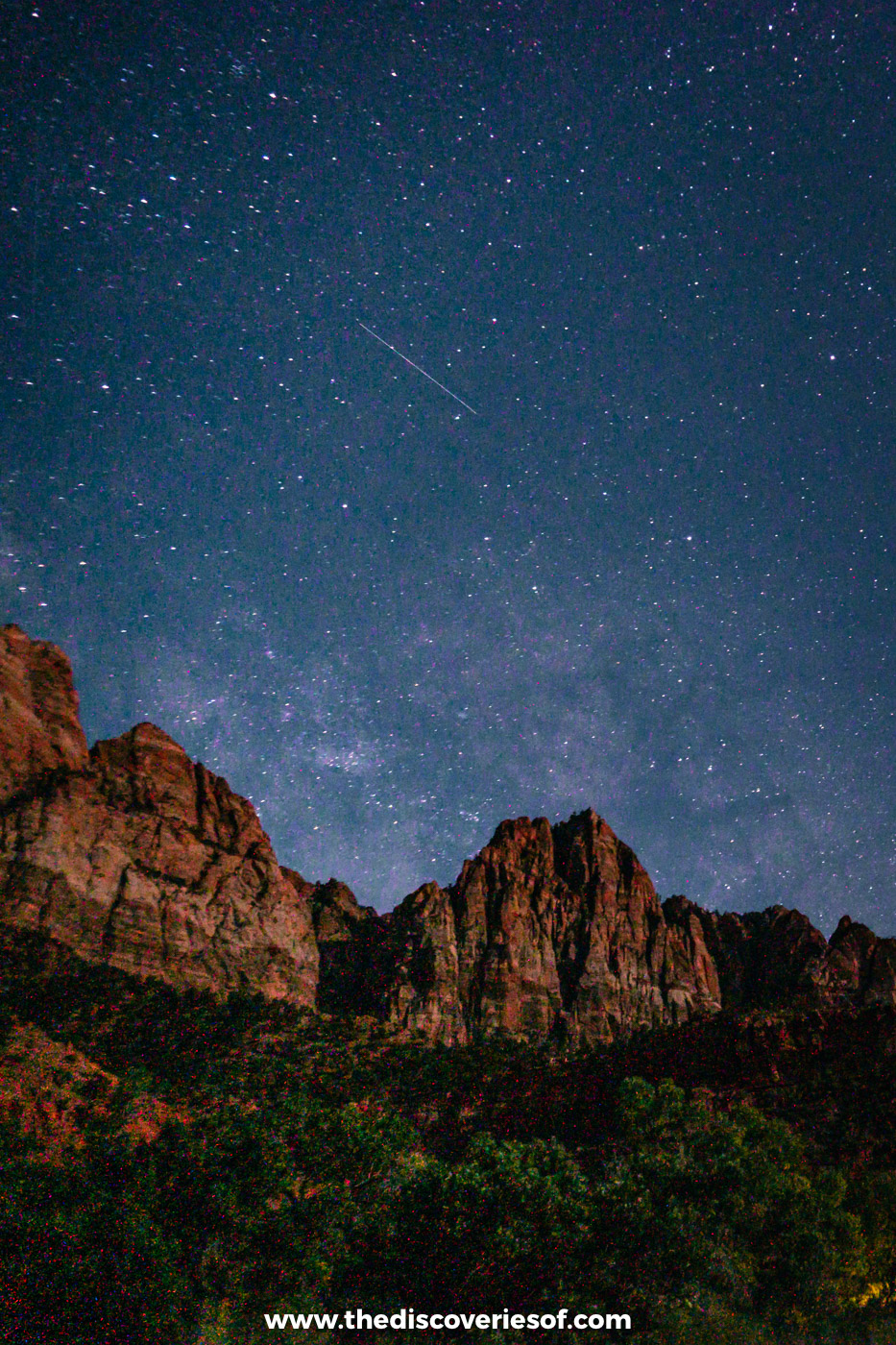
After dark, look up. Zion’s night skies are extraordinary, and on a clear, moonless night the Milky Way stretches right across the canyon.
Day 7: ride the shuttle into Zion Canyon
Zion Canyon Scenic Drive is closed to private cars when the free shuttle is running (from early March to late November), so park in Springdale or at the visitor centre and ride the shuttle up the canyon.
The best hikes depend on how adventurous you are and what’s open. The Riverside Walk is an easy, paved stroll along the river to the start of The Narrows, where you can wade upstream between sheer canyon walls (it closes when the river is running high). Angels Landing, the famous chain-assisted climb to a narrow fin of rock, needs a permit from a lottery; without one, you can still hike as far as Scout Lookout. Hidden Canyon and parts of the East Rim were closed at the time of writing, so check the park’s conditions page before you go.
Suggested stay
Stay in Springdale, at the park entrance, so you can use the free town and park shuttles. I stayed at the Hampton Inn & Suites Springdale, a good, keenly priced mid-range option. The rooms are very spacious and some have views of the Watchman; it’s not luxurious and the breakfast isn’t great, but it’s good value. For something more upmarket, Cable Mountain Lodge is right next to the pedestrian entrance to the park.
Southwest road trip days 8 to 9: the hoodoos of Bryce Canyon
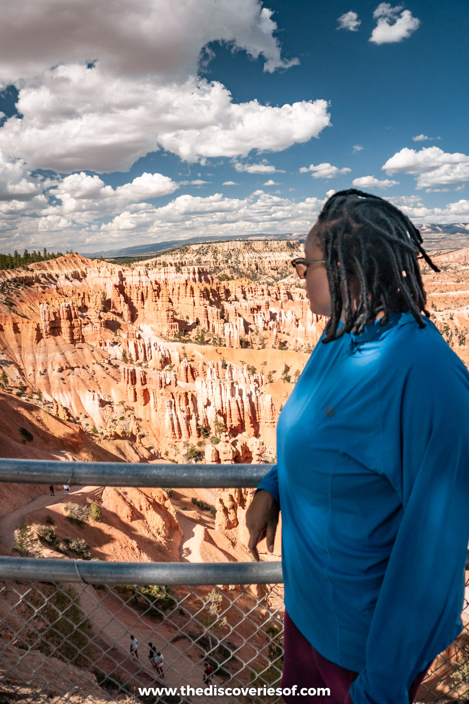
Bryce Canyon isn’t really a canyon at all, but a series of natural amphitheatres filled with thousands of hoodoos: thin spires of orange, pink and white rock. At around 8,000 to 9,000 ft, it’s much higher and cooler than Zion.
Day 8: Bryce Canyon at sunset and under the stars
The drive from Springdale to Bryce Canyon takes about an hour and 45 minutes, back through the Zion-Mount Carmel Tunnel and north on US-89 and Scenic Byway 12 through Red Canyon, where the road passes through two rock arches.
Spend the afternoon along the rim of the Bryce Amphitheater, between Sunrise, Sunset, Inspiration and Bryce Points, and stay for sunset. Then stay up late: Bryce is one of the darkest places in the US, and the stars are incredible.
Day 9: sunrise and a hike down among the hoodoos
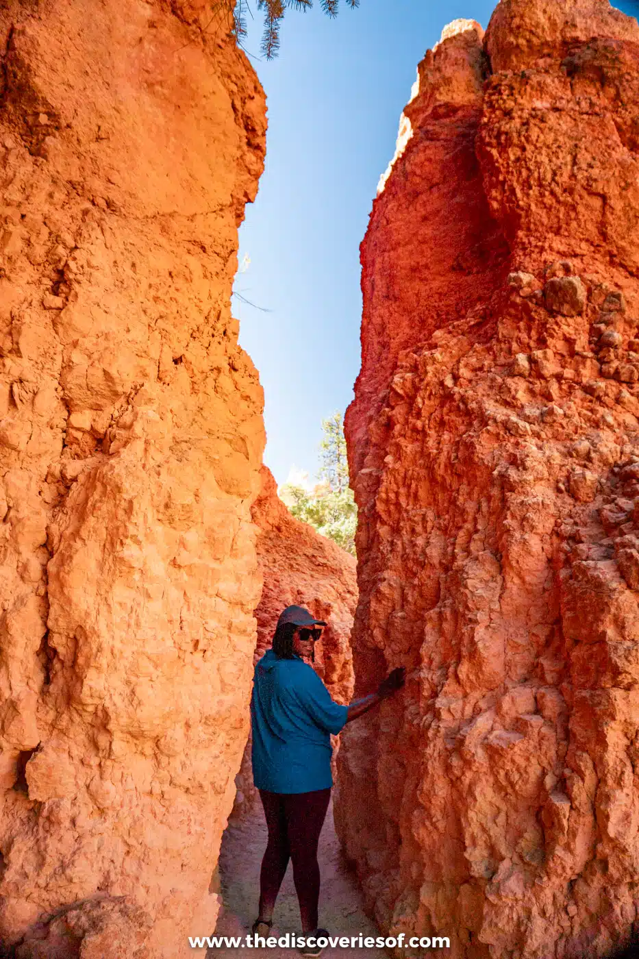
Get up for sunrise at Sunrise or Inspiration Point, when the first light sets the hoodoos glowing. Then hike down among them. The Queen’s Garden Trail is the gentlest way below the rim, and combined with the Navajo Loop it makes a classic 2.9-mile circuit. I walked down through Wall Street, the narrow slot on the Navajo Loop where Douglas firs grow up between the walls, but it has been closed since a flood in August 2026, so check before you go.
In the afternoon, drive the scenic road south along the plateau to Rainbow Point, stopping at Natural Bridge, a huge arch of red rock, on the way.
Read Next
Suggested stay
I stayed at Best Western Plus Ruby’s Inn in Bryce Canyon City. I wasn’t blown away, as it’s fairly average, but the location right by the park entrance is brilliant and it’s reasonably priced. For somewhere quieter, Stone Canyon Inn in Tropic has cabins and bungalows with views over the valley.
Southwest road trip day 10: back to Las Vegas
The drive from Bryce Canyon back to Las Vegas takes about four hours via US-89 and I-15, so you can fit in a morning on the rim before you go. If your flight is late, break the journey with a stop in Kanab or Snow Canyon State Park near St George.
Have more time? Add these to your itinerary
- Capitol Reef National Park: from Bryce, drive Scenic Byway 12 through the Grand Staircase to Capitol Reef, about two and a half hours. Drive the Scenic Drive to the Capitol Gorge trailhead, with a detour to Grand Wash and the Cassidy Arch trail (3.4 miles round trip), and buy a pie at the Gifford Homestead (it closes for the season in late November). You’ll then need a long day to drive back towards Las Vegas or on to Salt Lake City. Read my guide to the best things to do in Capitol Reef.
- A night on Lake Powell: add a day in Page for a boat trip on Lake Powell or a smooth-water float through Glen Canyon to Horseshoe Bend.
- Sedona: if you’re starting or ending in Phoenix instead of Las Vegas, add a couple of nights among Sedona’s red rocks, two hours south of the Grand Canyon.
Handy tips for planning your Southwest road trip
Top tips
- Buy an America the Beautiful pass. It costs $80 for US residents and $250 for non-residents, covers everyone in your car, and pays for itself on this route. Since 2026, non-residents aged 16 and over pay an extra $100 each at the Grand Canyon, Zion and Bryce on top of the entrance fee unless they hold the pass. It doesn’t cover Antelope Canyon, Horseshoe Bend or Monument Valley, which are run by the Navajo Nation and the City of Page.
- Book ahead for Antelope Canyon tours, the Grand Canyon helicopter flight and hotels in summer, especially in Springdale and Tusayan.
- Watch the clocks. Arizona stays on standard time all year, the Navajo Nation and Utah use daylight saving time, and Nevada is on Pacific time.
- Fill up when you can. Fuel stations are few and far between on some stretches, especially around Monument Valley.
- Pay by card. Several parks, including the Grand Canyon and Bryce, no longer take cash at the gate.
What to pack
- A daypack and a hydration pack holding at least 2 litres
- Comfortable shoes for the trails: my favourites are the Tropicfeel Canyons
- A cap, sunscreen and sunglasses
- Layers: it can be hot in Page and Zion and cold on the rim at Bryce on the same trip
Best time to visit
Mid-April to May and mid-September to October are the best times for this road trip, with warm days and cooler nights. Summer is hot (Zion and Page regularly top 100°F) and the monsoon season, from July to mid-September, brings afternoon storms and flash floods that can close slot canyons and trails. In winter, Bryce gets snow, the North Rim closes and some roads, including Scenic Byway 12, can ice over.
Getting around
You’ll need a car. Las Vegas is the easiest place to start, with the most flights and car hire options; Phoenix works too, about three and three-quarter hours from the South Rim. There are no toll roads on the route. Check the vehicle limits for the Zion-Mount Carmel Tunnel if you’re hiring a campervan.
Map
Read next
- The ultimate Arizona road trip itinerary
- 2 days at the Grand Canyon: the perfect itinerary
- The best things to do in Page, Arizona
- The best things to do in Zion National Park
- The best things to do in Bryce Canyon
Love this? Save and share on Pinterest

Discover the top things to do, insider tips and hidden gems in our USA Travel Guides.
Read the guides →