The Rim Trail is the easiest way to see the Grand Canyon on foot, and it was my favourite walk in the park. This guide breaks the 13-mile trail into sections, with distances, the best viewpoints, where it gets tricky and the tips I wish I’d known.
When I first read about the Rim Trail, I’ll admit I pooh-poohed it. A mostly paved path along the top of the canyon sounded too easy, the kind of thing you do on the way to a “real” hike. I’m so glad I did it anyway, because it turned out to be my favourite walk at the Grand Canyon.
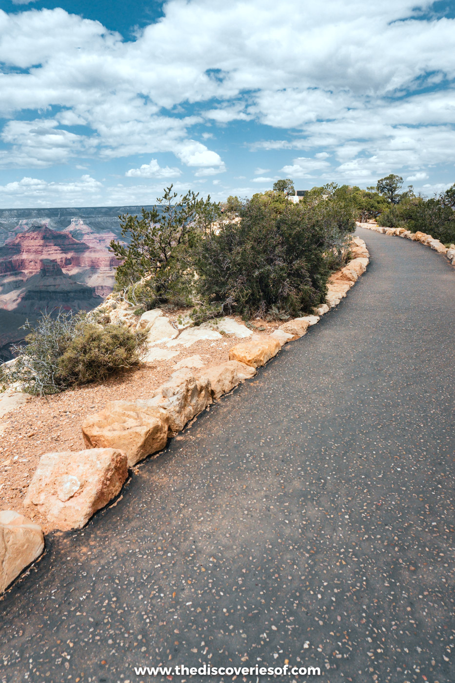
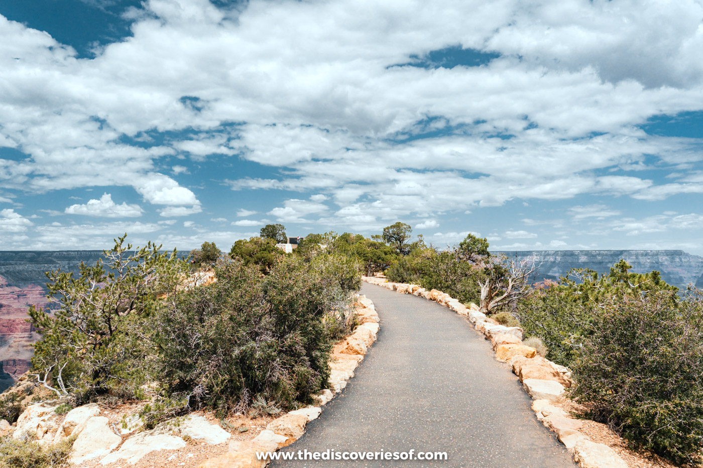
It’s easy to follow, there’s just enough change in height and terrain to keep it interesting, and the views are incredible the whole way. My photos here are from the western section along Hermit Road, around Maricopa Point and Monument Creek Vista, on my trip in early summer. This guide covers the whole trail, section by section, so you can choose the stretch that suits you.
Before you go: after a flash flood damaged the South Rim’s water pipeline at the end of August 2026, water across the South Rim has been restricted, the hotels inside the park closed to overnight guests until 20 November 2026 at the earliest, and visitors are asked to bring all the drinking water they need. Check the National Park Service’s alerts before you visit.
The Grand Canyon Rim Trail at a glance
- Length: about 13 miles (21 km) one way, from the South Kaibab Trailhead in the east to Hermits Rest in the west
- Elevation: around 7,000 ft, with only about 200 ft of variation along the whole trail
- Difficulty: easy to moderate; mostly paved, with one narrow dirt section near the edge
- Time: anything from 20 minutes to a full day; you can walk any section and take the free shuttle back
- Best for: everyone, from families to anyone who wants big views without hiking down into the canyon
Walking the Rim Trail, section by section
The trail follows the canyon’s edge for its whole length, linking the viewpoints, the visitor centre, Grand Canyon Village and Hermits Rest. Free shuttle buses stop along most of the route, so you never have to walk back the way you came. Distances below are one way, heading west.
South Kaibab Trailhead to Mather Point: the quiet start (2.2 miles)
The quietest stretch starts at the South Kaibab Trailhead, near Yaki Point, and runs west past Pipe Creek Vista to Mather Point. It’s paved and gently undulating, with fewer people than further west. The orange shuttle stops at both ends.
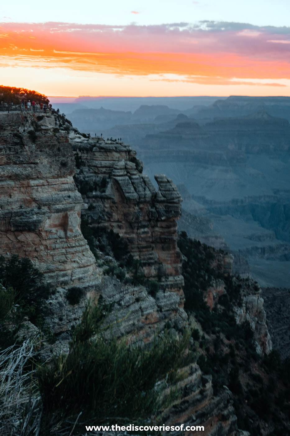
Mather Point, a five-minute walk from the Grand Canyon Visitor Center, is the classic first view of the canyon and where I watched my first Grand Canyon sunset. It’s busy, but for good reason.
Mather Point to the Village: a walk through time (2.6 miles)
West of Mather Point, the trail passes Yavapai Point and the Yavapai Geology Museum, whose big windows look straight out over the canyon. From here to the village, the path doubles as the Trail of Time, a paved, flat geological timeline where every metre represents a million years of the canyon’s history, marked with bronze plaques and rock samples. It’s one of the most accessible sections of the trail.
The trail ends up in the historic heart of Grand Canyon Village, past El Tovar Hotel, Hopi House, Verkamp’s Visitor Center and the Lookout Studio, perched right on the rim.
The Village to Powell Point: the climb to Hermit Road (1.9 miles)
Past Kolb Studio and the Bright Angel Trailhead, the trail starts climbing towards Trailview Overlook, where you can look back down on the village and the zigzags of the Bright Angel Trail. This is one of the steeper parts of the Rim Trail, so take your time.
From here, the path follows Hermit Road west to Maricopa Point and Powell Point, with some of the most dramatic views on the whole trail. Hermit Road is closed to private cars from March to November, so the only traffic is the red shuttle bus.
Powell Point to Monument Creek Vista: the dirt path by the edge (3.1 miles)
This is the section to know about. Between Powell Point and Monument Creek Vista, the trail becomes a narrow dirt path, about 3 feet wide, running very close to the edge in places. It’s not technical, but if you’re not comfortable with heights, hop on the red shuttle for this stretch instead.
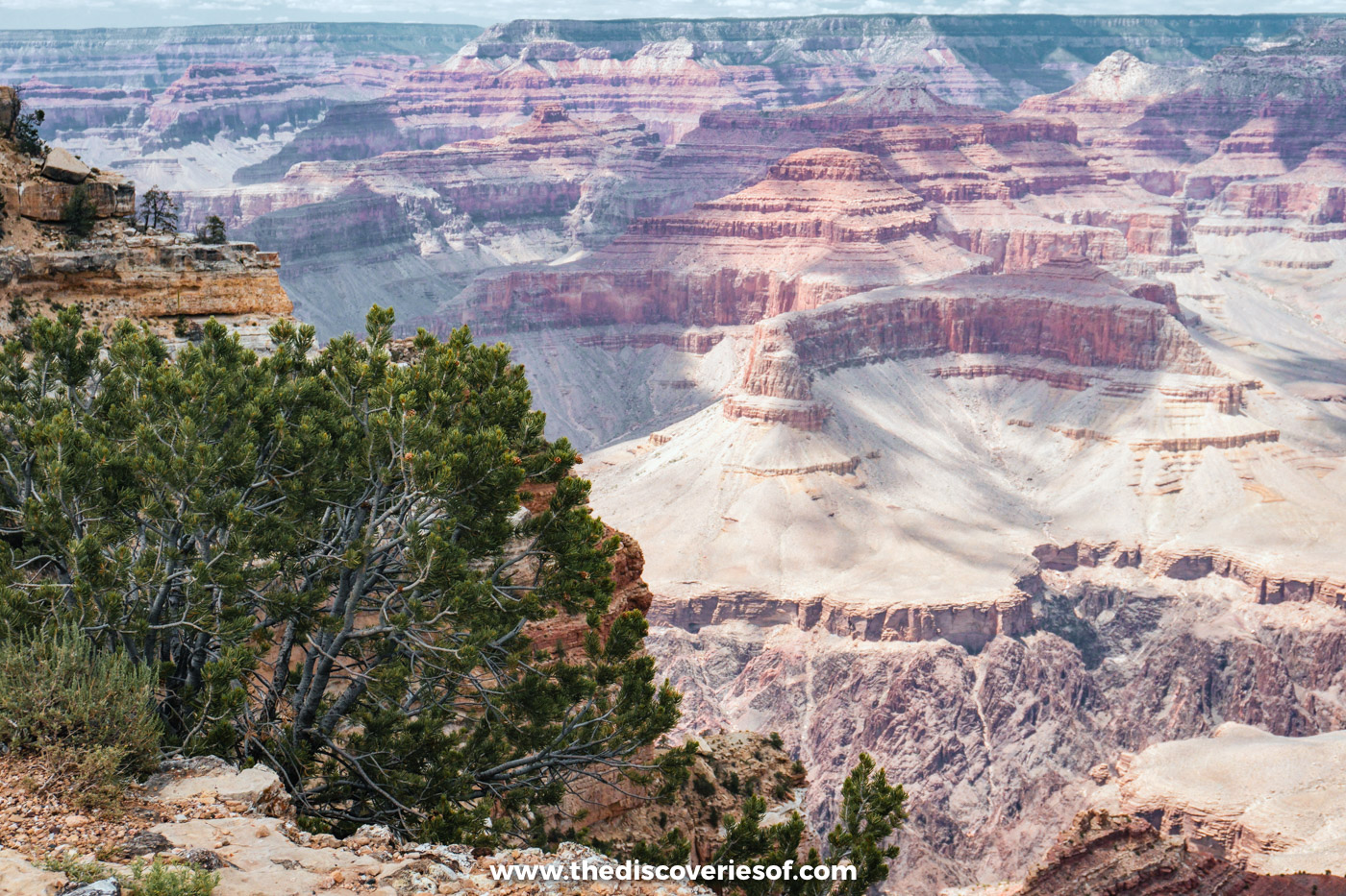
It’s also where the views open up even more, with Hopi Point and Mohave Point jutting out into the canyon and glimpses of the Colorado River far below. Then comes The Abyss, where the cliffs drop away almost vertically for around 3,000 feet.
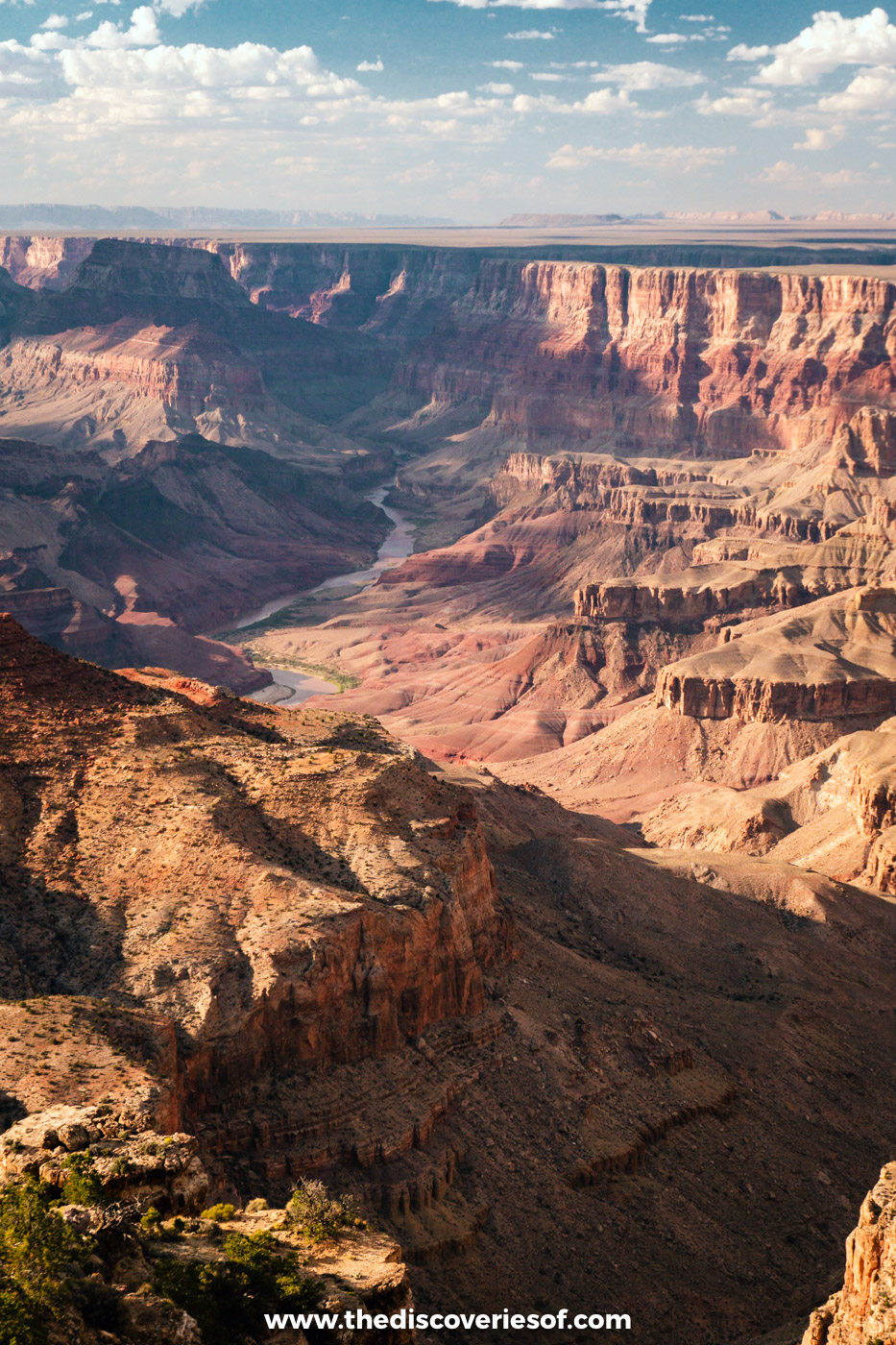
Monument Creek Vista to Hermits Rest: river views and sunsets (2.8 miles)
The last stretch follows the Greenway, a wide paved path shared with cyclists, past Pima Point to Hermits Rest, the stone rest house designed by Mary Colter in 1914. Pima Point is one of the best places on the South Rim for sunset, and on a quiet day you can hear the roar of Granite Rapids on the Colorado River far below.
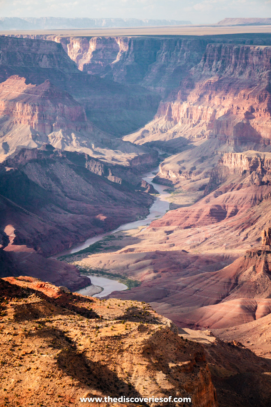
The best sunset spots on the Rim Trail
The western end of the trail has some of the best sunset spots at the Grand Canyon. Mohave Point and Pima Point are my picks, as they’re quieter than Hopi Point and look out over the river. Mather Point is the easiest option near the village. In summer, get there an hour early to find a spot, and check the time of the last shuttle back.
What I wish I’d known before walking the Rim Trail
- Pack a lunch. The chances of lunchtime coinciding with somewhere selling food are slim, especially along Hermit Road.
- Bring salty snacks and a big water bottle. Normally there are refill taps along the way, but they’re spread out, and there’s none between the village and Hermits Rest. During the 2026 water restrictions, carry all the water you need.
- Watch for the altitude. The rim is around 7,000 ft up, and I felt the altitude more than I expected. Take it slowly on the climbs.
- Start early. There’s little shade on much of the trail, and the midday sun is fierce in summer. Afternoon thunderstorms are common in July and August, so head away from the edge if you hear thunder.
- Use the shuttles. The blue route serves the village, the orange route the eastern viewpoints and the South Kaibab Trailhead, and the red route Hermit Road from March to November. On the way back, the red shuttle only stops at Pima, Mohave and Powell Points.
- Dogs are allowed. Pets on a lead are welcome on the trail, though not on the shuttles or below the rim.
- Wear proper shoes. Most of the trail is paved, but the dirt section can be dusty or icy depending on the season. My favourites are the Tropicfeel Canyons.
Where to stay near the Rim Trail
I stayed at Yavapai Lodge, a short walk from the Rim Trail near Market Plaza, but the in-park lodges are closed until at least 20 November 2026 after the water outage. Until they reopen, Tusayan is the nearest base, ten minutes from the South Entrance. See my guide to where to stay at the Grand Canyon.
Map
Read next
- The best Grand Canyon hikes
- The best things to do at the Grand Canyon
- 2 days at the Grand Canyon: the perfect itinerary
- Where to stay at the Grand Canyon
Love this? Save and share on Pinterest

Discover the top things to do, insider tips and hidden gems in our USA Travel Guides.
Read the guides →