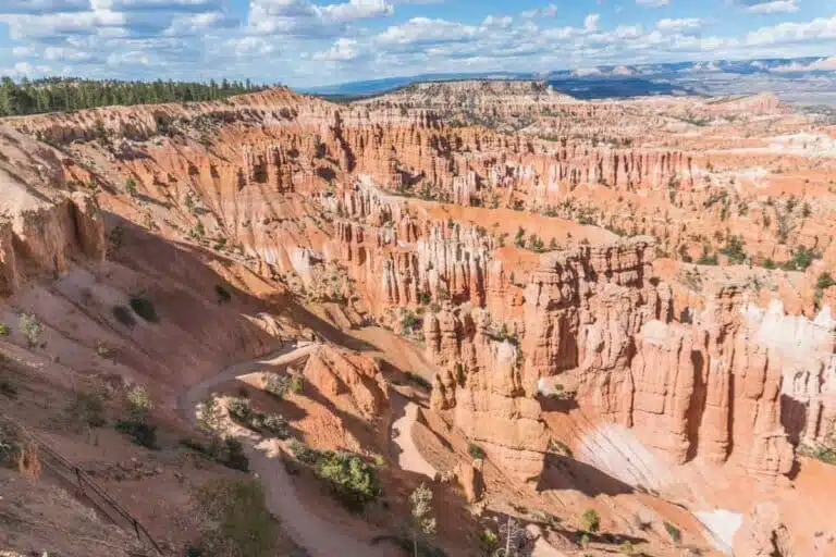

Ready to discover the best hikes in Northern Virginia? These are the destinations you shouldn’t miss, from riverside scrambles 30 minutes from the city to rocky summits in the Blue Ridge.
On the weekends, many city dwellers around the world hit the trails to get some much-needed fresh air. In the Washington DC area, we’re no different.
We all need a break from the city sometimes, to unplug and refresh before a long week ahead. My favourite way to do that is a day hike in a beautiful place, perhaps through a nature conservation area, or a state or national park.
With its nature reserves, national parks and monuments, and more, hiking and day trips from Washington DC are a fantastic way to ditch the city and get outdoors for a bit.
Why go hiking in Northern Virginia?
Whether you live in Washington DC, or are just visiting, it’s so easy to get stuck in the city. However, the DC, Maryland and Virginia area has so much to offer in terms of outdoor activities.
From wildlife refuges to rocky canyon-like landscapes, there’s so much more to Virginia’s hiking scene than meets the eye.
After several months of living in Washington DC and exploring many nearby hiking trails in the surrounding states, I’ve picked my favourite 14 wonderful places to go hiking in Northern Virginia. I’ve also added five more classic trails that round out the list, from Theodore Roosevelt Island in the middle of the Potomac to the Appalachian Trail at Bears Den.
Most of these are an hour or less from the city by car, and three of them (Theodore Roosevelt Island, the Mount Vernon Trail and the Potomac Heritage Trail) start a short walk from a Metro station. The rest really need a car. The most popular parks get busy on fine spring and autumn weekends, when the smaller parking lots fill up early, so set off first thing if you can.
If you’re planning to visit several of the national park sites on this list, an America the Beautiful annual pass ($80 for US residents, $250 for international visitors) covers the entrance fees at Great Falls, the C&O Canal, Harpers Ferry, Prince William Forest and Shenandoah. Most of these parks are now cashless, so bring a card.
At a glance
| Hike | Signature walk | Entry |
|---|---|---|
| Great Falls Park | River Trail, 1.5 miles one way | $20 per car |
| Riverbend Park | Riverbend to Great Falls, 2.5 miles round trip | Free |
| Burke Lake Park | Lake loop, 4.7 miles | Free, or $12 per car for non-county residents on weekends from April to October |
| C&O Canal | Billy Goat Trail Section A, 1.7 miles one way | $20 per car at Great Falls |
| Mason Neck State Park | Eagle Spur Trail, 3.7 miles round trip | $10 parking |
| Bull Run Regional Park | Bull Run Occoquan Trail, 19.7 miles one way | $8 to $10 per car for non-member residents |
| Manassas National Battlefield Park | First Manassas Loop, 5.4 miles | Free |
| Harpers Ferry | Maryland Heights, 4.5 miles round trip | $20 per car |
| Mount Vernon Trail | 18 miles one way, paved | Free |
| Theodore Roosevelt Island | Island loop, 1.9 miles | Free |
| Potomac Heritage Trail | Roosevelt Island to Chain Bridge, 4.2 miles one way | Free |
| Occoquan Bay National Wildlife Refuge | About 4 miles of flat trails | Free |
| Prince William Forest Park | North Valley Trail, 2.6 miles | $20 per car |
| Scotts Run Nature Preserve | Perimeter loop, 3.3 miles | Free |
| Huntley Meadows Park | Boardwalk loop, about 2 miles | Free |
| Shenandoah National Park | Old Rag, 9.4-mile circuit | $30 per car, plus a $2 Old Rag ticket |
| Sky Meadows State Park | Piedmont Overlook loop, 5.5 miles | $10 parking |
| Bears Den and Raven Rocks | Raven Rocks, 5.1 miles round trip | Free |
| George Washington and Jefferson National Forests | Signal Knob loop, 10 miles | Free |
Best hikes in Northern Virginia
Great Falls Park
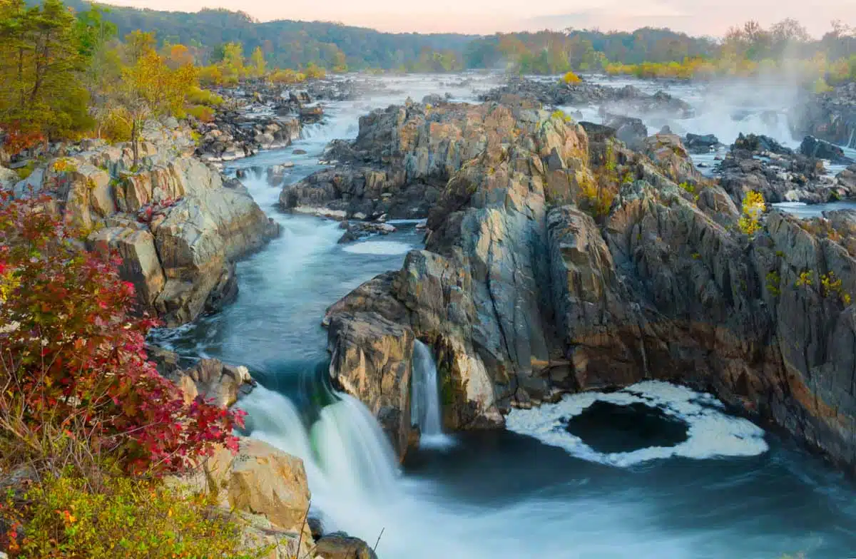
Located on the border of Maryland and Virginia, Great Falls Park is both a historic and natural gem that’s just a 30 minute drive from downtown Washington DC.
In this park, you can experience the massive Great Falls cascade, and catch glimpses of the Potomac River and its surrounding rock formations.
Here, you can also find some of the most interesting hikes in the region, including the River Trail (1.5 miles one way, moderate to hard), which borders the Potomac River atop the craggy rocks of Mather Gorge, and the Patowmack Canal Trail (1.25 miles, easy difficulty), which runs through a historic canal and passes all three of the park’s overlooks.
The cliffs along the River Trail are 25 to 75 feet high, and some stretches run right along the edge, so save it for a dry day and skip it when there’s ice about. For a longer outing, link it with the Ridge Trail and Old Carriage Road, or follow the North River Trail upstream to Riverbend Park.
If you can, plan a visit during autumn to see the perfect foliage scenes. Great Falls might just be the best place in the DC metro area to see the autumn colours.
Entry is $20 per car or $10 per person on foot or by bike, and the same pass gets you into the C&O Canal’s Great Falls area on the Maryland side. The fee booth is card only, and if you’re a regular, the $35 Great Falls annual pass covers both sides of the river for a year. Swimming and wading are banned here, as the currents are notoriously dangerous, and dogs need to stay on a six-foot leash.
Riverbend Park
Just down the street from Great Falls Park is yet another beautiful nature area called Riverbend Park. The park is actually so close by that you can hike from Riverbend to Great Falls (or vice versa) in about 2.5 miles round trip.
Strolling down the Potomac most of the way, this is definitely one of the nicer riverside walks near the city. Along the way, you’ll pass rocky outcrops (a sign the whole area was once underwater) and look across the river to an old lock house on the C&O Canal.
Although it is close to Great Falls, this park is unique because it is located, surprise, surprise, on a bend in the river, giving rise to some amazing plant life, animal life, and scenery.
Riverbend is run by Fairfax County, so there’s no entrance fee, and you can rent kayaks at the visitor centre in season. The riverside trail floods when the Potomac is high and stays very muddy for a while afterward, and you should never walk out onto the Aqueduct Dam, which has a dangerous low-head dam current. The parking lot fills on sunny weekends, so arrive early.
Burke Lake Park
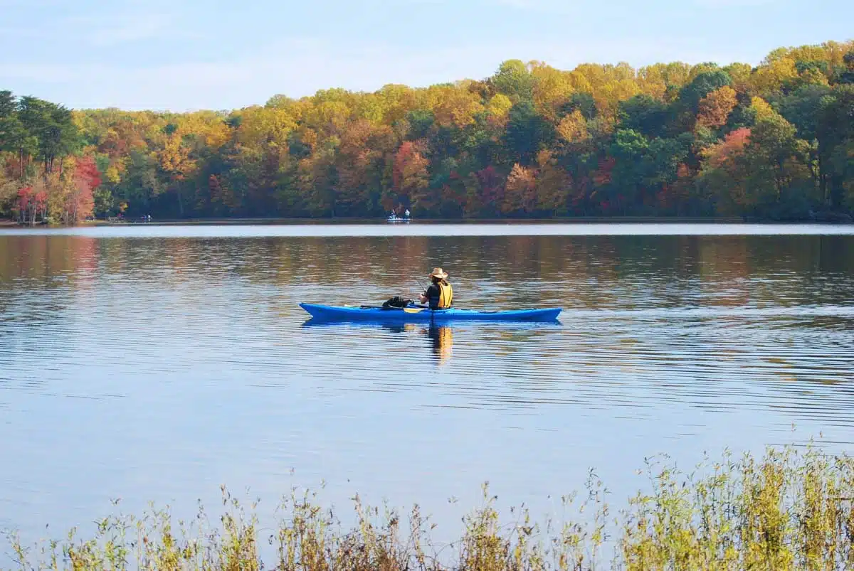
With 888 acres of lake, forests, and recreational areas, Burke Lake Park is perfect for hikers of all levels.
One of the nicest trails in this park spans the 4.7 mile perimeter of the lake, and is a perfect, laid-back place to go hiking, especially in the warmer months. Alternatively, you can rent a boat and explore the lake by water.
The lake loop is easy going and popular with runners as well as walkers, and if you’re bringing kids, the park also has a seasonal miniature train and carousel. Fairfax County residents get in free. Everyone else pays a $12 gate fee per car on weekends and holidays from April to late October, and entry is free on weekdays.
The C&O Canal National Historical Park
This park is actually on the Maryland side of the Potomac, but I thought I’d include it on this list because it is home to one of my favourite hiking trails in the Washington DC area.
Home to the Chesapeake and Ohio Canal, which runs 184.5 miles from Georgetown to Cumberland, there are many historic locks, boats, and buildings scattered throughout the park area. There are several trails in the park, including the Olmsted Island boardwalk, which leads out to a lookout over Great Falls.
The best hike in the park is the Billy Goat Trail, a challenging but rewarding trail that takes visitors atop the rocks bordering the Potomac River. And yes, that means there’s some rock scrambling required, including a little bit of scrambling up a rock wall! If you’re up for the challenge, I highly recommend the Billy Goat Trail for any avid hikers.
The trail comes in three sections, all starting and finishing on the canal towpath. Section A is the famous one: 1.7 miles one way, technical and strenuous, starting near the Great Falls Tavern Visitor Center. The park recommends hiking it one way, heading downstream, and you can loop back along the flat towpath for a walk of around four miles. Sections B (1.4 miles) and C (1.6 miles), near Carderock, are much gentler.
Top Tip
Section A of the Billy Goat Trail often closes when the Potomac runs high after heavy rain, and dogs aren’t allowed on it at all, so check the park’s current conditions before you go. On weekends, start early, as the narrow scrambles back up quickly.
The canal is free to visit everywhere except the Great Falls Tavern area, where you’ll pay $20 per car or $10 per person on foot or by bike (the same pass covers Great Falls Park in Virginia). Swimming in the river here can land you a fine of $200 or more.
Mason Neck State Park

As one of only a handful of state parks in Northern Virginia, Mason Neck State Park is a fabulous place for a day hike. It’s a day-use park, so there’s no camping here.
Located between the Potomac River and Belmont Bay, it is a sanctuary for many species of bird life, wildlife, and plants.
If you are a bird lover, you’ll be happy to know that it is one of the best places in Virginia to see bald eagles. There are more than six miles of hiking trails in Mason Neck, plus three miles of paved trails, which take you past the shores of Belmont Bay and up towards the calm banks of Kanes Creek.
For the best chance of spotting eagles, follow the Eagle Spur Trail to the wooden wildlife blind overlooking Kanes Creek, a walk of about 3.7 miles there and back. The easy Bay View Trail loops across a freshwater marsh and along Belmont Bay, and from Memorial Day to Labor Day you can rent a canoe, kayak or paddleboard at the visitor centre and look for eagles from the water. Parking is $10 per car, and Virginia State Parks don’t accept national park passes.
This is truly one of the best places for animal lovers to go hiking in Northern Virginia.
Bull Run Regional Park
Although it is a wonderful year-round destination, Bull Run Regional Park is especially beautiful in the spring, with its incredible wildflower displays. As a hot spot for activity during the Civil War, Bull Run combines historic significance with natural beauty.
With 1,500 acres of park land and several miles of trails, Bull Run is home to one of the most notable long-distance trails in the region, the 19.7-mile Bull Run Occoquan Trail.
The wildflowers to come for are the Virginia bluebells, which carpet the floodplain along the Bluebell Trail and are usually at their best in early to mid April. The Bull Run Occoquan Trail follows the stream all the way south to Fountainhead Regional Park, so most people hike a section of it as an out-and-back rather than the whole thing in a day.
Entry is free for residents of the NOVA Parks member jurisdictions. Everyone else pays $8 per car on weekdays and $10 on weekends and holidays. The park also has a campground and cabins if you want to make a weekend of it.
Manassas National Battlefield Park
Just a few miles west of Bull Run Regional Park, Manassas National Battlefield Park protects the ground where two major Civil War battles were fought, in July 1861 and August 1862. It was here, on Henry Hill, that Thomas Jackson earned the nickname “Stonewall”.
Today the battlefield is a patchwork of rolling fields, woods and split-rail fences, with miles of trails that make it one of the most rewarding walks in the area for history lovers. The Henry Hill Loop (1.1 miles) is a good short introduction, while the First Manassas Loop (5.4 miles) and Second Manassas Loop (6.2 miles) take you out across the wider battlefield, past landmarks like the historic Stone House.
The park is fee free, so there’s nothing to pay at all. Much of it is open meadow with little shade, which makes it a better bet in spring and autumn than on a humid July afternoon, and it’s worth checking for ticks after walking through long grass.
Harpers Ferry National Historical Park
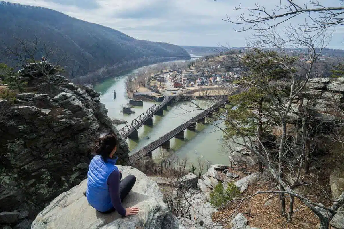
A visit to Harpers Ferry enables you to enter the world of historic Civil War era towns, industrial ruins, trains, and more. It’s considered to be the site of a raid (John Brown’s 1859 raid on the federal armory) that helped spark the Civil War.
Although the town of Harpers Ferry is technically in West Virginia, it is located on the border with Virginia and Maryland. Consequently, there are trails in the area spanning all three states, including several hikes in Northern Virginia and Maryland.
One of my favourite trails in this area is called Maryland Heights, which affords amazing views of the river and Harpers Ferry town down below.
The overlook trail is 4.5 miles round trip from Lower Town, with a climb of about 1,150 feet, and you can add the Stone Fort loop for a longer 6.2-mile hike past Civil War fortifications. It’s open in daylight hours only, and there’s no water or restroom on the trail, so stock up in town. On the opposite side of the Shenandoah River, the Loudoun Heights Trail (up to 7.5 miles round trip) climbs to Split Rock for views back over the town and the meeting of the two rivers.
Afterwards, take a stroll through the town’s cobblestone streets, head up to Jefferson Rock and peruse the grounds of St. Peter’s Church. The Appalachian Trail runs right through town, too. Entry is $20 per car and is valid for three days, and the park is cashless. The easiest option is to park at the visitor centre and take the free shuttle bus down to Lower Town.
Mount Vernon Trail
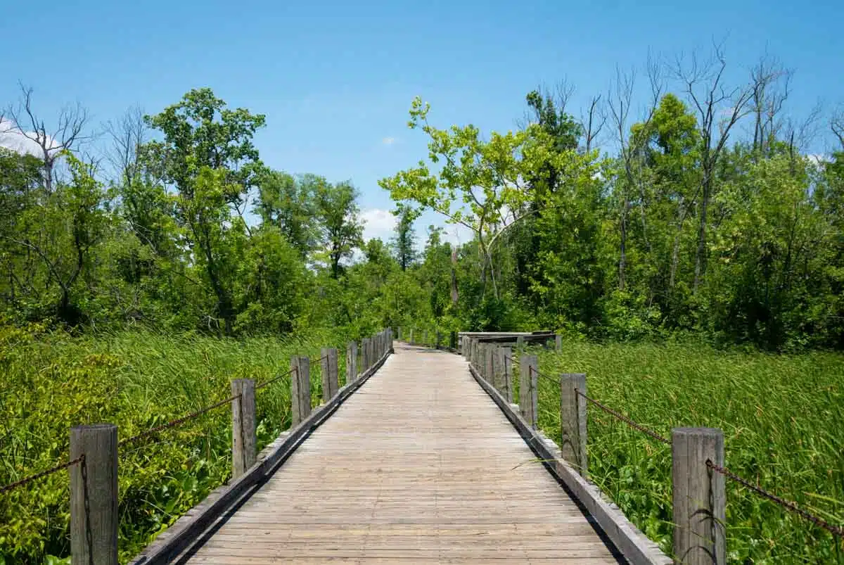
Although it isn’t a traditional forested hiking trail, the Mount Vernon Trail deserves a place on any list of hikes in Northern Virginia due to its scenic place by the Potomac River and its stunning views of the Washington DC skyline.
As a connector between Mount Vernon and Roosevelt Island, this 18-mile trail is the perfect place if you’re looking for a scenic morning stroll not far from the city.
The trail is paved and shared with cyclists and runners, so keep right and listen out for bells. Highlights include Gravelly Point, where planes come in low over your head to land at Reagan National Airport, the waterfront in Old Town Alexandria, and the final stretch to George Washington’s Mount Vernon estate (tickets for the house and grounds are separate). You don’t have to do it all: pick a stretch, walk it one way and catch Metro or a Capital Bikeshare bike back. Short sections occasionally close for repairs, so check the George Washington Memorial Parkway alerts before you go.
Theodore Roosevelt Island
Hidden in the middle of the Potomac, opposite Georgetown and the Kennedy Center, Theodore Roosevelt Island is a wild, wooded memorial to the president who did so much for America’s national parks. A footbridge takes you over from the Virginia shore, and within a few minutes the city noise fades into birdsong.
An easy 1.9-mile loop links the island’s trails, including a boardwalk across the swamp, and brings you to the memorial plaza, with its 17-foot bronze statue of Roosevelt surrounded by granite tablets carved with his quotes.
The island is free and open from 6 a.m. to 10 p.m. The small parking lot off the George Washington Memorial Parkway can only be reached from the northbound lanes and fills quickly on weekends, so it’s often easier to walk over from Rosslyn Metro in about 15 minutes. Dogs on a leash are welcome, but bikes aren’t allowed on the island itself, and the restrooms close from October to April.
Potomac Heritage Trail
For a proper hike without leaving Arlington, the Virginia section of the Potomac Heritage Trail runs 10.8 miles along the river from Theodore Roosevelt Island to Scotts Run Nature Preserve. It’s part of the Potomac Heritage National Scenic Trail, and it feels a world away from the parkway traffic just above it.
The first 4.2 miles, from Roosevelt Island to Chain Bridge, are the most rugged, with rocky stretches, roots and stream crossings, and side streams like Windy Run tumbling down to the river along the way. Beyond Chain Bridge, the trail passes Fort Marcy, a Civil War fort, and Turkey Run Park before reaching Scotts Run.
Most people hike it in sections, with parking at Roosevelt Island, Windy Run, the Gulf Branch Nature Center, North Glebe Road, Fort Marcy and Turkey Run. Wear proper shoes, as the trail is unpaved throughout and both ends can flood when the river is high.
Occoquan Bay National Wildlife Refuge
Animal lovers rejoice! With its prime location at the intersection of the Occoquan and Potomac Rivers, the Occoquan Bay National Wildlife Refuge is a fabulous place to see bald eagles and other migratory birds in the wild.
It is a quiet, tranquil place that takes on a different environment depending on the time of year. However, with several hiking trails and observation areas, the Occoquan Bay National Wildlife Refuge is a relaxing place to spend some time admiring the beauty of nature.
Entry is free, and there are about four miles of flat gravel trails for walkers, plus a two-mile wildlife drive. The refuge opens at 7 a.m. every day and closes at 5 p.m. from October to March and 7 p.m. from April to September, with gates that close automatically. Come early in the morning, ideally during the spring and autumn migrations, for the best wildlife. Dogs aren’t allowed inside the refuge gate, and some trails close for part of the year to protect nesting birds.
Prince William Forest Park
About 35 miles south of DC, just off I-95, Prince William Forest Park is a huge expanse of quiet woodland around the Quantico Creek watershed, and one of the best places near the city for a long, shady forest hike.
The park opened in 1936 as the Chopawamsic Recreation Area, with camps for children from the city during the Great Depression, and during World War II it was used to train spies for the Office of Strategic Services. Today it has 37 miles of hiking trails. The Quantico Cascades Trail (0.7 miles) is the quickest way to the rapids, the Laurel Loop (1.4 miles) is a gentle walk near the visitor centre, and the North Valley Trail (2.6 miles) follows Quantico Creek past small waterfalls. String a few of them together for a half-day loop.
Entry is $20 per car and is valid for seven days, paid by card, as the park is cashless. The creek rocks are very slippery, so stick to the trails.
Scotts Run Nature Preserve
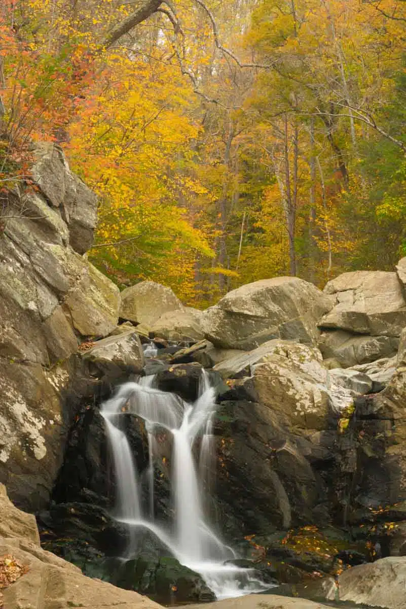
Located in McLean, Virginia, Scotts Run Nature Preserve is a lovely forest hiking area with several interwoven trails to enjoy.
There’s an out-and-back waterfall hike that takes hikers from the main parking lot on Georgetown Pike to the Potomac River, passing over streams and by small waterfalls along the way. The waterfall itself is only about 0.7 miles from the lot.
There are also several other trails that will take you through the woods and past the historic Burling House ruins. A 3.3-mile loop around the edge of the preserve takes in most of them. Whether you’re new to hiking or simply want to stroll near the river, Scotts Run Nature Preserve is the perfect low-key place to spend a morning.
It’s free, but popular, so come early or on a weekday. There are no restrooms, the unmarked connector trails can be confusing (take a photo of the map at the trailhead), and swimming and wading are banned, with a $250 fine. The preserve closes at dark.
Huntley Meadows Park
Located just outside of Alexandria, Virginia, Huntley Meadows Park is a place where history, nature, and wildlife intersect.
On the park grounds, you can find wildlife viewing areas with trails spanning through the marshy lands. The Cedar Trail, Deer Trail, and Heron Trail Loop is a lovely walk of about two miles that goes through some forest and wildlife areas.
The highlight is the boardwalk on the Heron Trail, which crosses the beaver-shaped central wetland to an observation platform. Look out for herons, great egrets, wood ducks and turtles. Entry is free, the lot on Lockheed Boulevard fills on busy mornings, and dogs are allowed on the gravel trails but not on the boardwalk.
If you’d rather just hang out or learn more about the park’s history, you can check out Historic Huntley, which was built around 1825 as a summer retreat for Thomson Francis Mason, a grandson of George Mason who went on to become mayor of Alexandria. Its grounds are open from March to November, with house tours on Saturdays from late April to October.
Shenandoah National Park
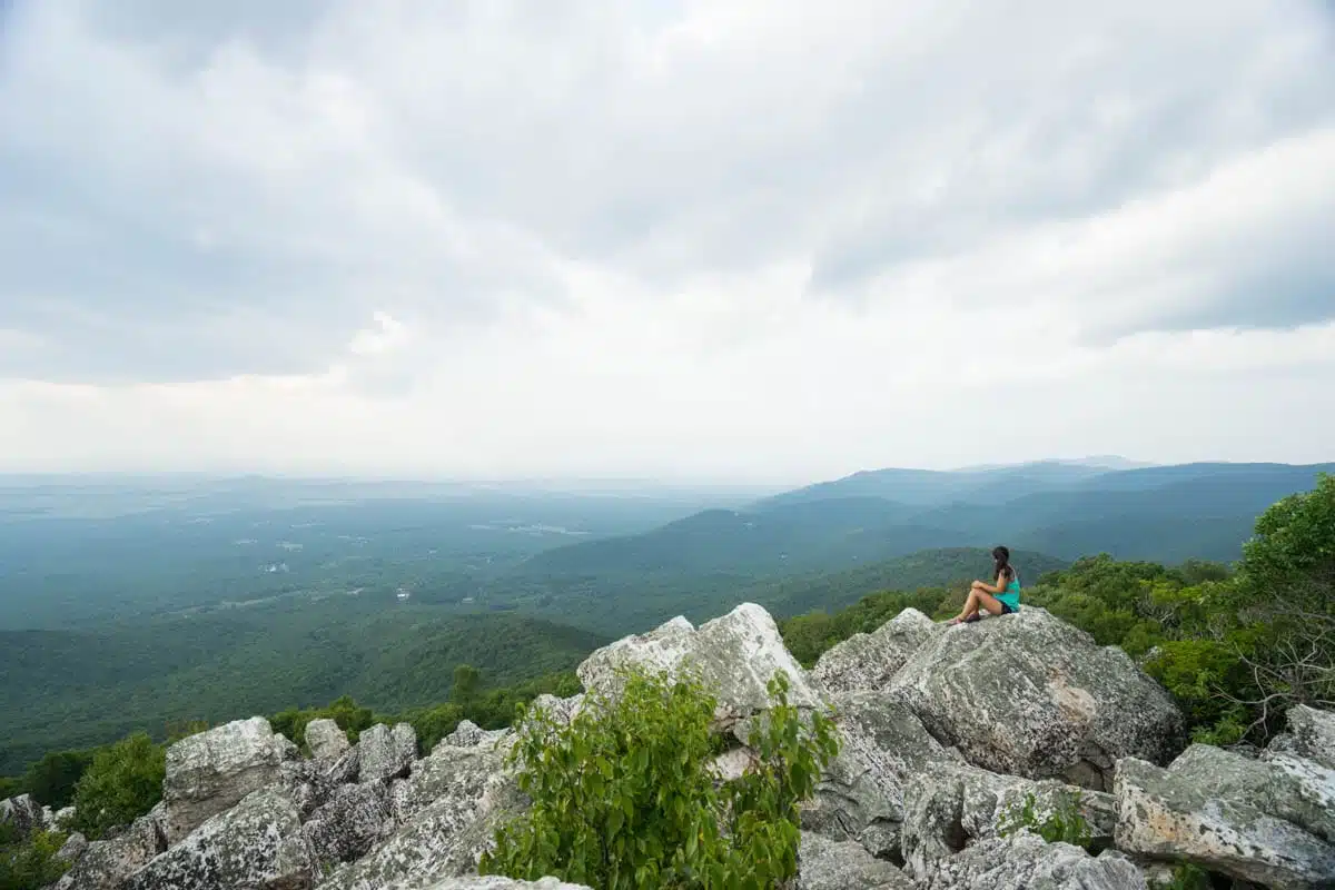
At a mere 75-mile drive from Washington DC, Shenandoah National Park is one of the most beautiful parks on the East Coast, and is located in Northwestern Virginia. Whenever I’m feeling stressed and want to disconnect for a while, I pack my backpack and head here.
Not only does the Appalachian trail run through here, but there are more than 500 miles of other incredible and scenic trails to try here. Some of these include Old Rag and Little Devils Stairs, among many, many others.
Old Rag is the big one: a 9.4-mile circuit with about 2,350 feet of climbing and a famously adventurous rock scramble along the ridge, which takes most people seven to eight hours. Little Devils Stairs is a strenuous 7.4-mile circuit that climbs steeply up a rocky gorge beside a stream. For something gentler, try the waterfalls of Whiteoak Canyon, Dark Hollow Falls or the short climb to Stony Man.
Top Tip
From March 1 to November 30, you need a $2 Old Rag day-use ticket from Recreation.gov as well as your park entrance pass. Tickets are released 30 days and five days ahead at 10 a.m. Eastern, and weekend dates go fast. A ticket doesn’t guarantee a parking space, so arrive early and carpool if you can.
If you’re looking for a perfect outdoor weekend trip, Shenandoah has trails and activities for all levels. If hiking isn’t your thing, take a drive along Skyline Drive, which runs 105 miles along the crest of the Blue Ridge with more than 70 overlooks. The park is at its best in October, when the foliage turns.
Entry is $30 per car for seven days, and the park has been cashless since 2025, so you’ll need a card or a pass bought online. International visitors pay the standard fee here, as the $100 non-resident surcharge introduced in 2026 only applies at 11 of the busiest western and headline parks.
Sky Meadows State Park
Created from historic farmland, the 1,860 acre Sky Meadows State Park is full of things to do, from hiking to camping and much more.
With 22 miles of hiking trails, including about three miles of the Appalachian trail, this park is the perfect blend of history and nature. Here, you can find rolling hills, colourful pastures, and beautiful forested areas to explore. Some of the best hikes in the park take in the Piedmont Overlook and Whitehouse Overlook, and a 5.5-mile loop linking the Piedmont Overlook, North Ridge and Ambassador Whitehouse trails, with a short stretch of the Appalachian Trail, gives you both.
Camping here is hike-in only, with primitive tent sites a mile from the overnight parking area, and the park is an International Dark Sky Park, so it’s a great place to stay up for the stars. Parking is $10 per car, and the park opens at 8 a.m.
Bears Den and Raven Rocks
On the Appalachian Trail near Bluemont, where Route 7 crosses the Blue Ridge, these two hikes are the easiest way to get a taste of the AT from DC, a little over an hour’s drive from the city.
Bears Den Overlook is the quick one: a 1.4-mile round trip from the free Snickers Gap parking lot off Route 7, with only a gentle climb to a rocky ledge looking west over the Shenandoah Valley. It’s a popular sunset spot. You can also park at the Bears Den Trail Center lot ($3) for an even shorter walk.
Raven Rocks is the harder option, a 5.1-mile out-and-back with about 1,500 feet of climbing on a stretch of the AT nicknamed “the Roller Coaster”, with steep climbs and drops all the way to a rocky viewpoint. Its small lot, on Pine Grove Road just off Route 7, fills up fast on weekends, as does Snickers Gap in autumn foliage season.
George Washington & Jefferson National Forests
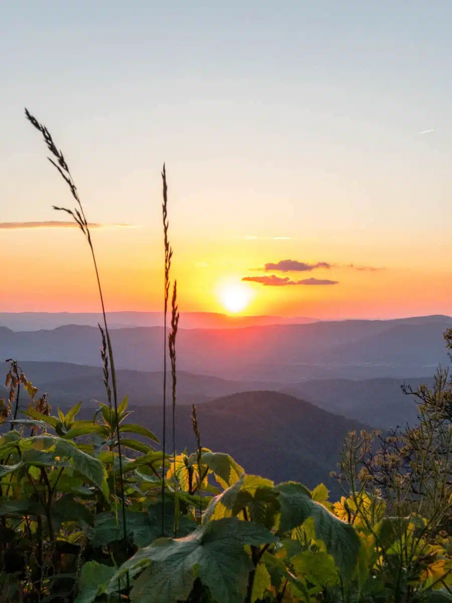
Located even farther west of Shenandoah are the George Washington and Jefferson National Forests.
These forests boast hundreds of miles of hiking trails and scenic drives, which pass by rocky outcroppings, stunning waterfalls, and amazing autumn foliage. There are dozens of hikes to try here, but some of the most rewarding trails include Crabtree Falls and nearby Humpback Rocks, which is technically just over the boundary on the Blue Ridge Parkway.
Crabtree Falls drops around 1,200 feet in a series of cascades, and the trail climbs about 1,100 feet past a string of viewpoints to the upper falls (around 3 miles round trip). Parking is $3 per car. Humpback Rocks, at milepost 5.8 on the Blue Ridge Parkway, is a steep 2-mile round trip to a jumble of boulders with huge views. Both are around three hours’ drive from DC, so they’re best as part of a weekend away.
For a closer option, the forest’s Massanutten Mountain sits just west of Front Royal. The Signal Knob loop there is a hard 10-mile hike with about 2,300 feet of climbing, starting from the Signal Knob parking area on Fort Valley Road and taking in Buzzard Rock and the Signal Knob lookout over the northern Shenandoah Valley.
Although this is the farthest area on our list from Washington DC, it is one of the most rewarding areas to visit for a weekend of outdoor adventures.
Map
Love this? Save and share on Pinterest

Discover the top things to do, insider tips and hidden gems in our USA Travel Guides.
Read the guides →