
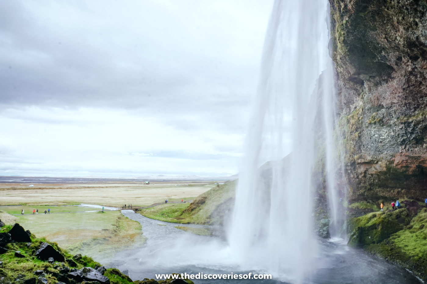

Seljalandsfoss is the south coast waterfall you can walk all the way round the back of. Here’s how to do the path behind the falls without getting drenched, when to go for the best light and the fewest coaches, what parking costs and why the trail shuts in winter.
Perched just off the Ring Road beneath the Eyjafjallajökull ice cap, Seljalandsfoss is one of the highlights of any south Iceland itinerary. The reason is simple. Where else can you walk behind a waterfall this size? Exactly.
I’ve walked behind it twice. The first time was on a grey day in early May, with a guide, before walking over to the hidden gorge at Gljúfrabúi next door and heading on up towards Þórsmörk. The grass below the cliff was still straw-coloured after the winter, a steady line of people was already working its way round the back of the water, and I joined them. I was back in September, on my self-drive along the south coast, and did the loop all over again.
Following the trail as it worms its way behind the falls is an unforgettable experience. You see the water from the front, then from the side, then from underneath and finally from behind, which is about as close to a 360-degree view of a waterfall as you’re likely to get anywhere. It’s the most famous of the south coast’s waterfalls for good reason.
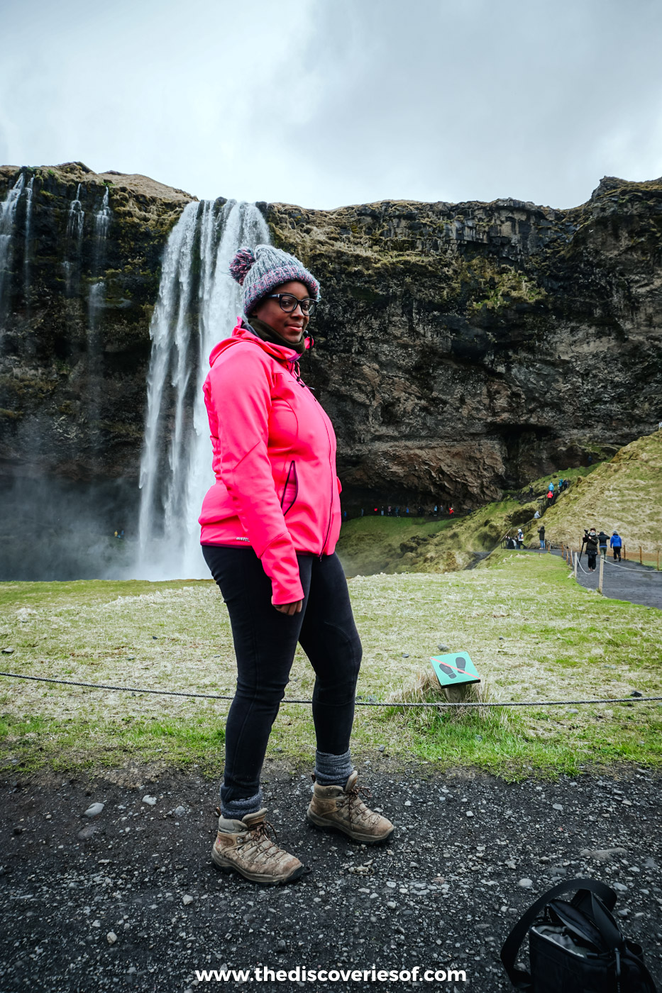
Here’s everything you need to plan your own visit.
Seljalandsfoss at a glance
- Where: on Route 249, a few hundred metres off the Ring Road (Route 1), about 125 km east of Reykjavik.
- Drive: 1 hour 45 minutes to 2 hours from Reykjavik; 20 minutes from Hvolsvöllur; 25 minutes from Skógafoss.
- Entry: free. Parking is ISK 1,000 per car, valid all day, and the same ticket covers Gljúfrabúi.
- Time needed: 30 minutes to an hour; allow an hour and a half if you add Gljúfrabúi.
- The path behind: usually open from late spring to autumn, and closed when it’s icy, which normally means all winter.
- Best time: before 9am or after 6pm, when the day tours have gone.
- Facilities: toilets, a small shop and a café kiosk by the car park.
Why the falls are worth the stop
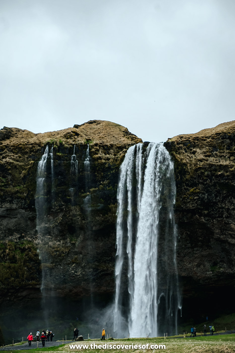
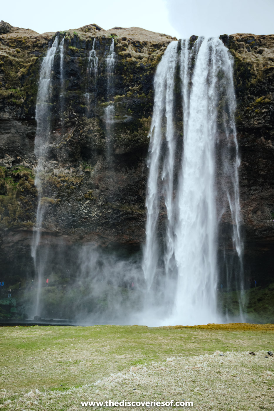
The numbers first. The water drops about 60 metres in a single, slender plunge from the lip of a cliff into a pool below. It’s the Seljalandsá river, fed by meltwater from Eyjafjallajökull, the glacier-capped volcano whose 2010 eruption grounded flights across Europe.
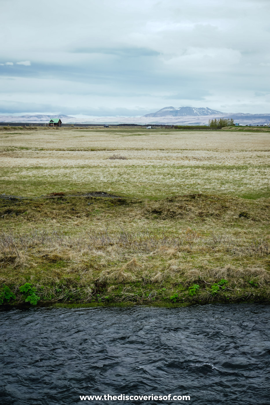
That cliff is the key to the whole experience. It was once the edge of the island: thousands of years ago the sea came right up to it, and the flat green plain that now stretches out in front of the falls is land that has been left behind as the ocean retreated. Erosion has worn a deep hollow into the softer rock at the base, and that hollow is what lets you walk right round behind the curtain.
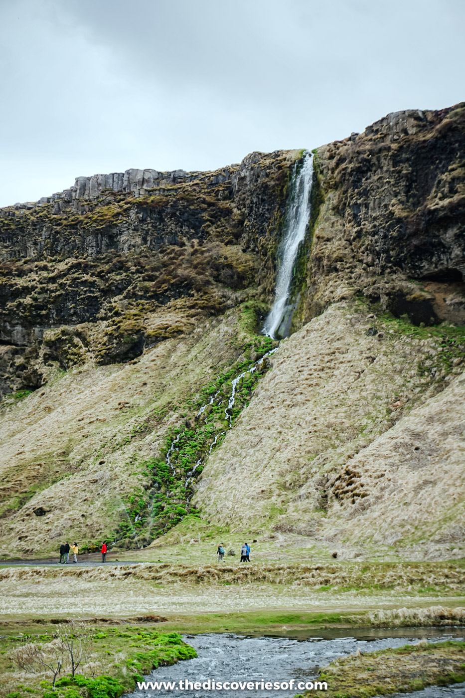
Seljalandsfoss isn’t alone, either. A whole string of smaller falls drips and tumbles down the same line of cliffs, some no more than a ribbon of water, and a few minutes’ walk to the north one of them hides inside the rock altogether. That’s Gljúfrabúi, and it’s well worth the extra few steps (more on that below).
Walking behind the falls: what the path is like
From the car park it’s a two-minute stroll to the pool at the foot of the falls. From there, a path of gravel, rock and steps climbs into the hollow behind the water, crosses behind the curtain and drops down the far side. The full loop is only a few hundred metres and takes 10 to 15 minutes, though most people stop a lot longer than that for photos.
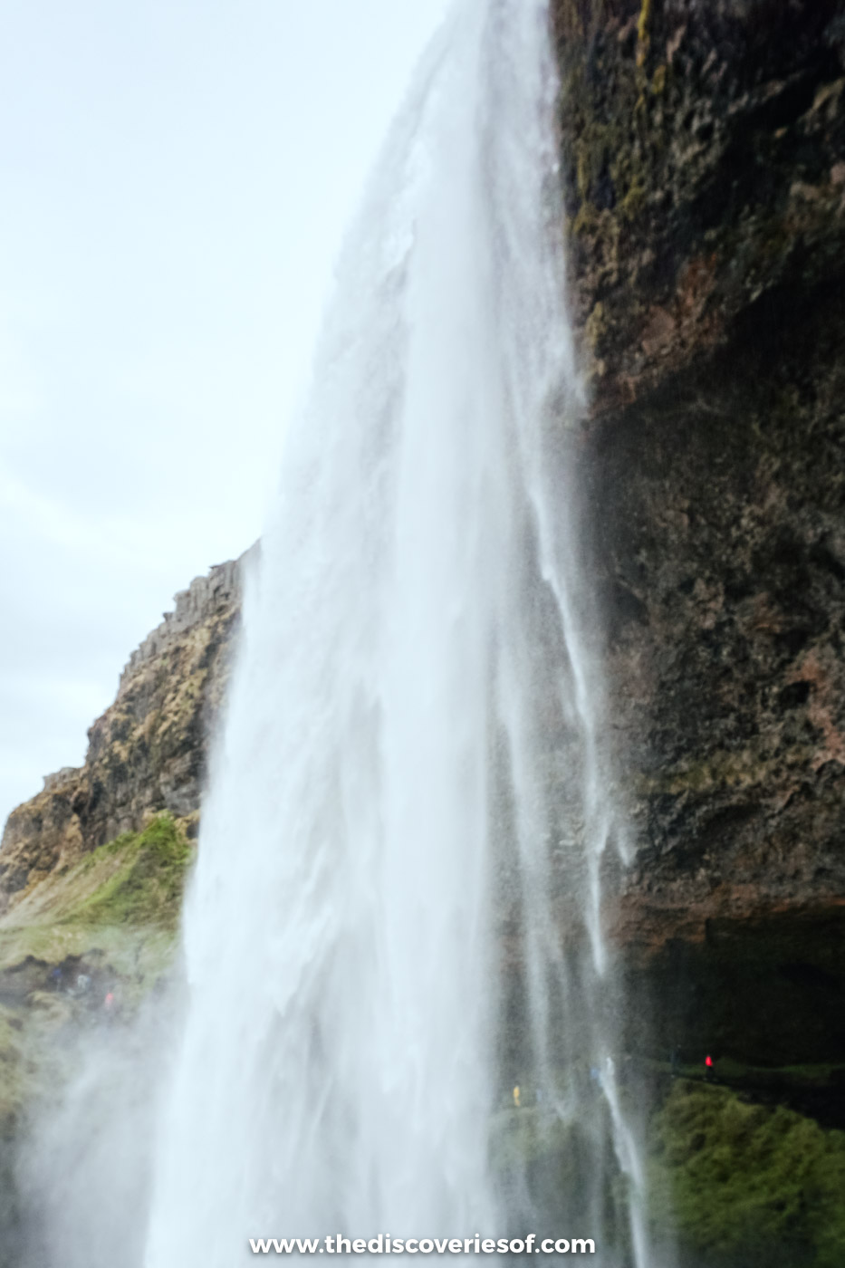
It isn’t difficult, but it is wet. The rock behind the falls is permanently soaked, the mud on the path can be slick even in summer, and the steps on the south side are often running with water. Take it slowly and keep a hand free.
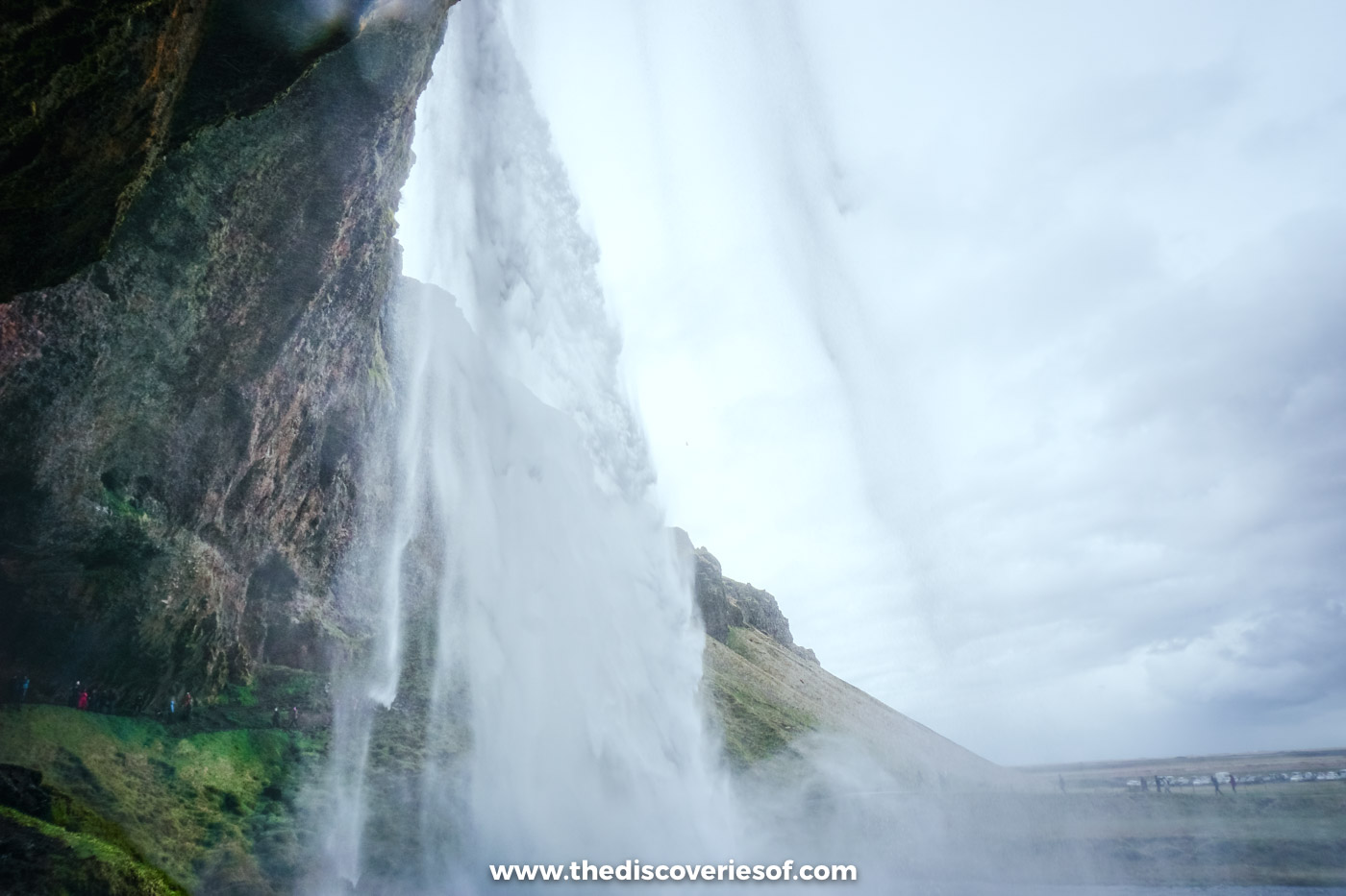
The payoff is the moment you reach the back. Suddenly you’re not looking up at a waterfall any more, you’re looking out through one, across the plain towards the sea, with the water crashing into the pool just a few metres in front of you.
Top Tip
If part of the loop is roped off, don’t be tempted to duck under it. Rockfall from the overhang has closed sections of the path before (it happened in 2023), and when that happens you simply walk in and come back out the way you came.
How wet will you get?
That depends almost entirely on the wind. On a still day you’ll come out of the hollow damp. When the wind blows the spray back into the cliff, you’ll be soaked within a minute.
Wear a waterproof jacket with a hood and waterproof trousers, and shoes with a proper grip rather than smooth-soled trainers. Keep your camera or phone in a bag or pouch until you need it, and carry a dry cloth for the lens. My Iceland packing list has the rest.
Top Tip
Take your photos from the front first, then do the loop. Walk behind the water first and you’ll spend the rest of your visit shooting through a wet lens.
The best time of day (and year) to go
Time of day. This is one of the busiest stops on the south coast, and almost every day tour from Reykjavik calls in here. The coaches tend to arrive between about 10am and 4pm, so come early in the morning or in the evening if you’d like the path to yourself, or at least to share it with fewer people.
The falls face west, which makes the evening the prettiest time too. On a clear night the low sun shines straight into the spray, and from the path behind the water you’re looking out towards the sunset. Around midsummer, when the sun barely dips below the horizon, that golden light lasts for hours.
Time of year. From late spring to early autumn the path is usually open and the river is fullest, swollen by snowmelt in May and June. In early May the water was pouring over the cliff while the grass around it was only just turning green again, and when I came back in September the path was still open. By late September the nights are dark again, and on a clear night with a good forecast this is a famous spot for photographing the Northern Lights. My guide to the best time to see the Northern Lights in Iceland explains how to read the forecast.
Can you walk behind Seljalandsfoss in winter?
Usually, no. In winter the spray freezes onto the cliff and onto the roof of the hollow, and the path becomes a sheet of ice. When it thaws, chunks of that ice can break away and fall, which is why the path behind the falls is normally closed from late autumn until mid to late spring. Staff close it whenever it becomes too slippery, so obey the signs.
That doesn’t mean a winter visit isn’t worth it. The view from the front is still spectacular, the edges of the falls can freeze into great curtains of icicles, and after dark the waterfall is lit by floodlights. Bring microspikes for the approach path, which can be icy too.
In December and January you’ll only have four or five hours of daylight, so plan the drive around the light, and check the road conditions at umferdin.is and the alerts on safetravel.is before you set off.
Getting there and parking
By car. Take the Ring Road east from Reykjavik through Selfoss, Hella and Hvolsvöllur. Shortly after you cross the bridge over the Markarfljót river, turn left onto Route 249 (signed for Þórsmörk). You’ll see the falls from the main road, and the car park is about a kilometre along. It’s an easy first stop on a south coast road trip, and it’s day four of my 7 day Iceland itinerary.
Getting There
Parking costs ISK 1,000 per car and the ticket is valid all day, so you can walk on to Gljúfrabúi without moving the car. Pay at the machines on site or online at Checkit.is: unpaid fees end up on your hire car bill with a handling charge on top. Overnight parking isn’t allowed; the nearest campsite is Hamragarðar, by Gljúfrabúi.
Without a car. Public buses no longer run along this stretch of the south coast, so if you’re not driving, a day tour is the simplest option.
Do
This South Coast Classic full-day tour from Reykjavik runs for about 10.5 hours and stops at the Sólheimajökull glacier, Reynisfjara, Vík and Skógafoss before finishing at Seljalandsfoss.
Nearby stops
The falls sit at the western end of the most spectacular stretch of the south coast, and plenty of good stops lie within an hour’s drive.
- Gljúfrabúi: a short, flat walk of five to ten minutes north along the cliff from the car park, a 40-metre fall hidden inside a narrow gorge. You follow the stream on stepping stones to reach it. Same parking ticket.
- Þórsmörk: the glacier valley at the far end of Route 249, behind a string of unbridged rivers, so go in by super jeep or summer highland bus, never in a hire car. My guide to Iceland off the beaten path has my day there.
- Seljavallalaug: a concrete pool built into a hillside in 1923, about 20 minutes east by car and then a 15 to 20 minute walk up the valley. Free, with only a basic changing hut.
- Skógafoss: 25 minutes east, a 60-metre wall of water with a staircase of about 500 steps to the top. It’s in my guide to Iceland’s waterfalls.
- LAVA Centre, Hvolsvöllur: 20 minutes west, an interactive volcano and earthquake exhibition, open daily (ISK 5,200 for the full experience). More in my things to do in Iceland.
- Reynisfjara: about an hour east, the black sand beach with the basalt columns and the Reynisdrangar sea stacks offshore.
Map
Read next
- Iceland waterfalls: 25 of the best
- Visiting Reynisfjara, Iceland’s most famous black sand beach
- Iceland off the beaten path: hidden gems to discover
- 7 day Iceland itinerary
- Things to do in Iceland
- When’s the best time to visit Iceland?
- Iceland travel tips
- Iceland travel guide
Love this? Save and share on Pinterest

Discover the top things to do, insider tips and hidden gems in our Iceland Travel Guide.
Read the guides →