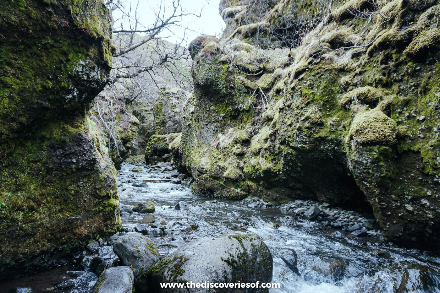

Þórsmörk is the green valley hidden between three glaciers in south Iceland, and the only ways in are by super jeep, highland bus or on foot. I went in May with a local guide and squeezed through its canyons. Here’s how to get there, what to do once you’re in, where to sleep and when to go.
Some places in Iceland you can pull up beside, take a photo of and drive away from. Þórsmörk (Thorsmork) isn’t one of them. Getting into this valley means crossing a string of unbridged glacial rivers, and that’s precisely what keeps it so wild.
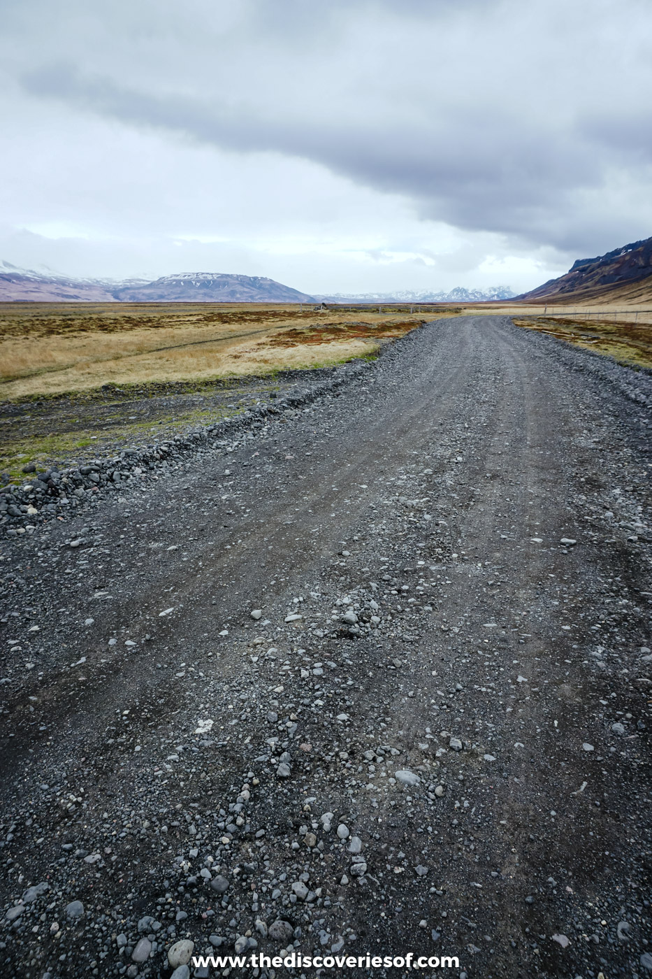
I went in early May, on a super jeep day with Midgard Adventure that had already taken me across the black sand at Landeyjafjara and into the gorge at Gljúfrabúi. From there, the jeep turned inland onto the gravel, and the rest of the day became a string of short, scrambly walks into the caves and canyons around the edge of the valley.
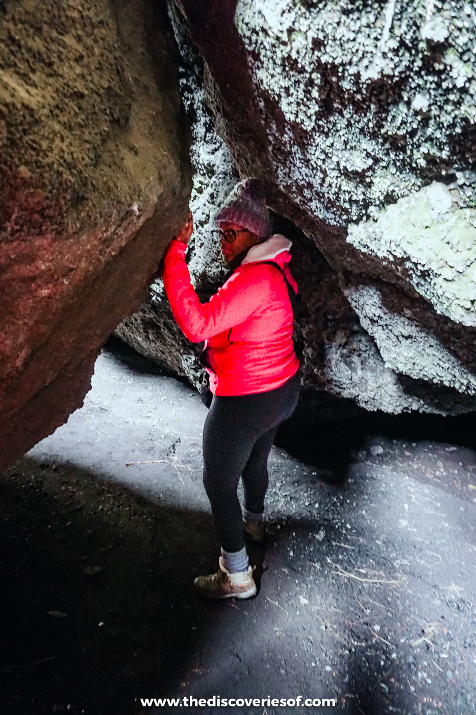
I’ll admit I had my doubts. Cramming myself into narrow cracks between enormous slabs of rock, on an island that shakes as often as this one does, didn’t sound entirely sensible. It was worth every nervous second. Ducking into caves and through icy cold canyons was one of the highlights of that first trip, and it showed me a side of the south that most people miss as they rush between the big sights.
Þórsmörk at a glance
- Where: in the southern highlands, between the Eyjafjallajökull, Mýrdalsjökull and Tindfjallajökull glaciers, about 160 km east of Reykjavik. The last 30 km or so is the F249 mountain road.
- Getting in: by super jeep tour (all year), by highland bus (June to September) or on foot via the Laugavegur or Fimmvörðuháls trails. Don’t drive in yourself in a hire car.
- Cost: the valley is free to enter. A super jeep day from Hvolsvöllur costs from ISK 39,000, and the bus from Reykjavik is about ISK 12,000 each way at the time of writing.
- Time needed: a full day by jeep or bus; two or three nights if you want to hike properly.
- Where to sleep: mountain huts, cabins and campsites at Húsadalur, Langidalur and Básar. Camping is only allowed on marked sites.
- Best time: late June to early September, when the buses run, the huts are staffed and the birch woods are green.
The valley of Thor, between three glaciers
The name means “Thor’s wood”, after the god of thunder, though everyone calls it the Valley of Thor. It’s a high, sheltered valley carved out by glacial rivers, with the Krossá snaking across its gravel floor and the Markarfljót and Þröngá running along its edges. Ice caps sit on three sides, and small, steep peaks such as Valahnúkur rise from the middle.
What surprises most people is the green. Sheep and horses haven’t grazed here for more than a century, so the valley holds some of the most extensive downy birch woods left in the country, along with thick moss, ferns and wild flowers in summer.
It’s a landscape that’s still being shaped, too. When Eyjafjallajökull erupted in 2010, meltwater floods tore down from the ice, emptied the lagoon below the Gígjökull glacier tongue and coated the valley in ash. The eruption also left two new craters, Magni and Móði, up on the Fimmvörðuháls pass.
There are three main bases, all with huts and campsites. Húsadalur, at the western end, is home to the Volcano Huts. Langidalur, in the middle, has Ferðafélag Íslands’ Skagfjörðsskáli hut. Básar, on the far side of the Krossá in the area known as Goðaland, is run by the Útivist hiking club. Most of the walks start from one of the three.
Into the canyons by super jeep
Squeezing through the rock
Unless you know exactly where to look, you’d never find the canyons and caves tucked into the folds of the hills around the valley. That’s the case for going with a guide or a local, and mine knew every one of them. Apart from my group, there wasn’t another soul about.
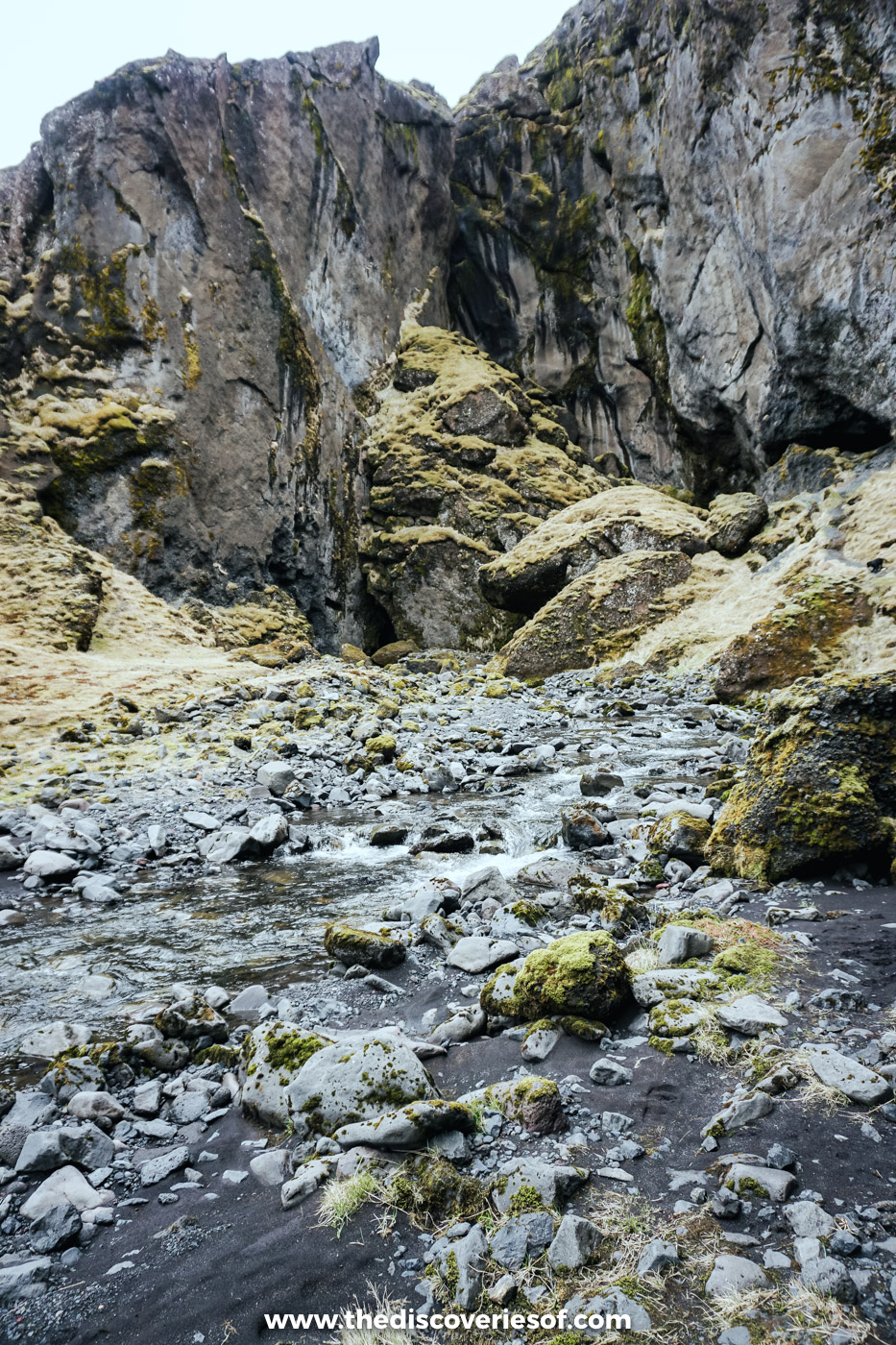
The best bit was the squeeze. My guide led the way through a gap in the rock just wide enough to wriggle through, then along a stream that disappeared underground, until the walls opened out and I found myself standing in a slot valley with the rock rising straight up on either side. If you want to feel like you’ve stumbled on one of Iceland’s secrets, this is how.
Top Tip
Wear proper waterproof walking boots with good grip, not trainers. The canyon floors are wet rock and loose stones, and you’ll be fording streams to reach the best bits.
A hiker’s lunch and a waterfall just out of reach
Lunch was the classic Icelandic hiker’s fuel: hot dogs, heaped with onion, mustard and relish. They hit the spot.
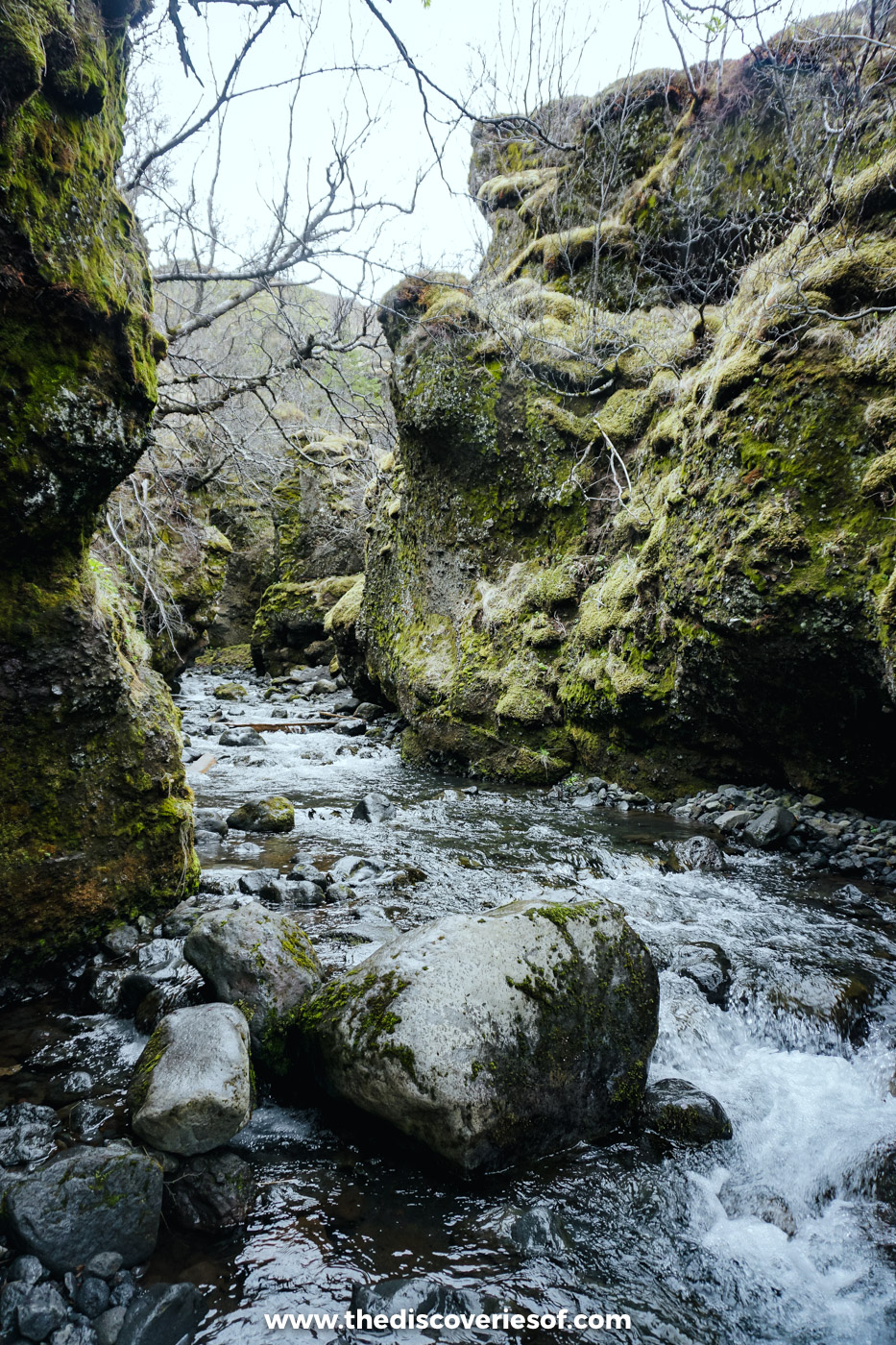
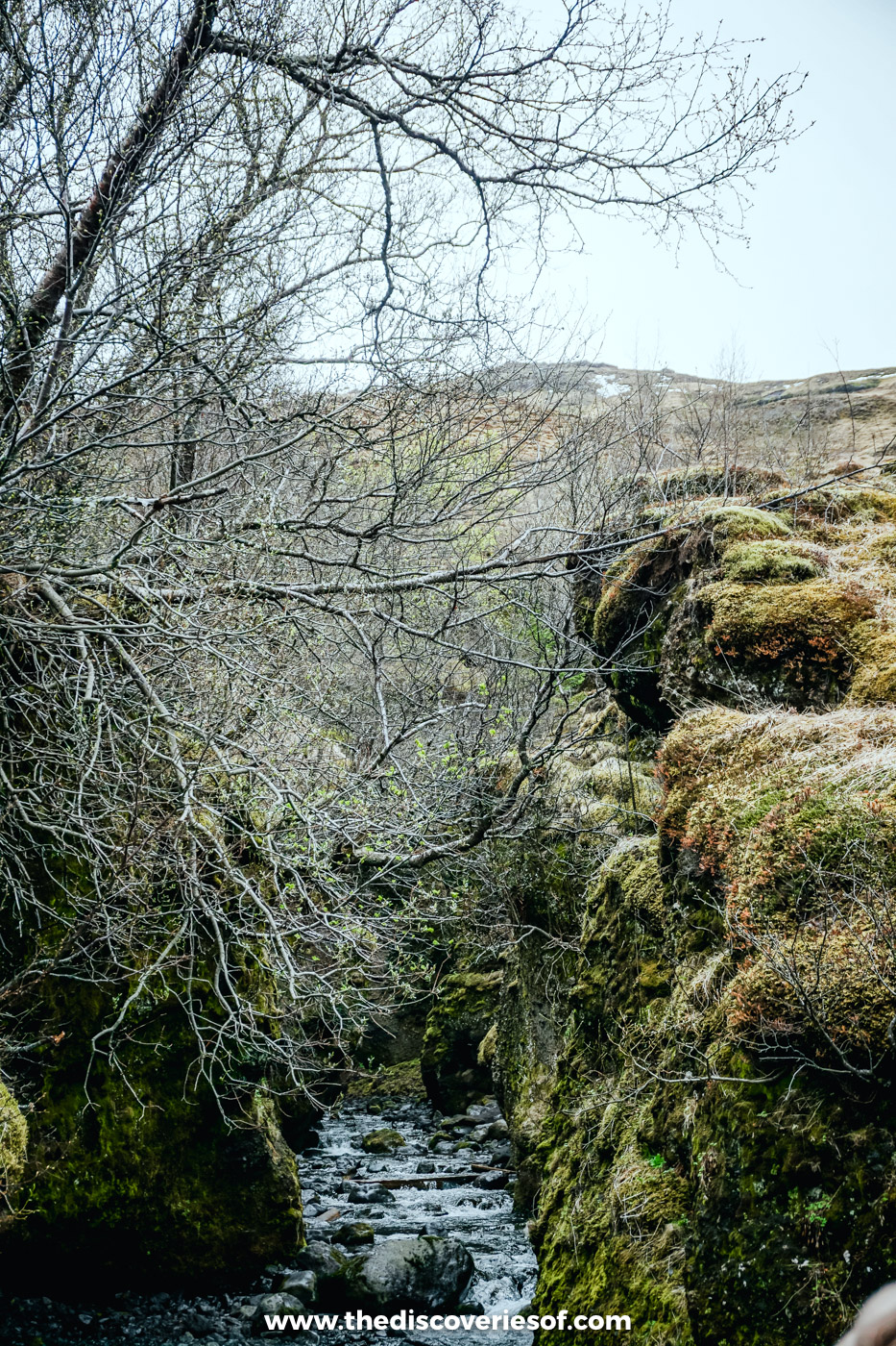
Then the jeep moved on to a second spot, where the way to a hidden waterfall meant hopping from rock to rock, balancing along ledges and a fair bit of climbing. I’ll own up: I’m notoriously clumsy, and the final stretch needed more balance than I could muster, so I stopped just short of the falls. I didn’t mind one bit. It gave me time to take photos in peace.
Do
Mine was a private group trip with Midgard Adventure, which is run by three locals. Its scheduled Þórsmörk super jeep day tour runs all year from its base camp in Hvolsvöllur, lasts six to eight hours and costs from ISK 39,000. Stops can include Nauthúsagil, Gígjökull, Stakkholtsgjá and the top of Valahnúkur, depending on the rivers and the weather. Lunch isn’t included, but you can add a lunchbox when you book.
How to get to Þórsmörk
Why you shouldn’t drive the F249 yourself
The road in is Route 249, which leaves the Ring Road by Seljalandsfoss and turns into the F249, a rough mountain track. It’s about 30 km in all, with several unbridged river crossings. The last and most dangerous is the Krossá, a fast glacial river with a shifting gravel bed that regularly defeats even big four-wheel drives.
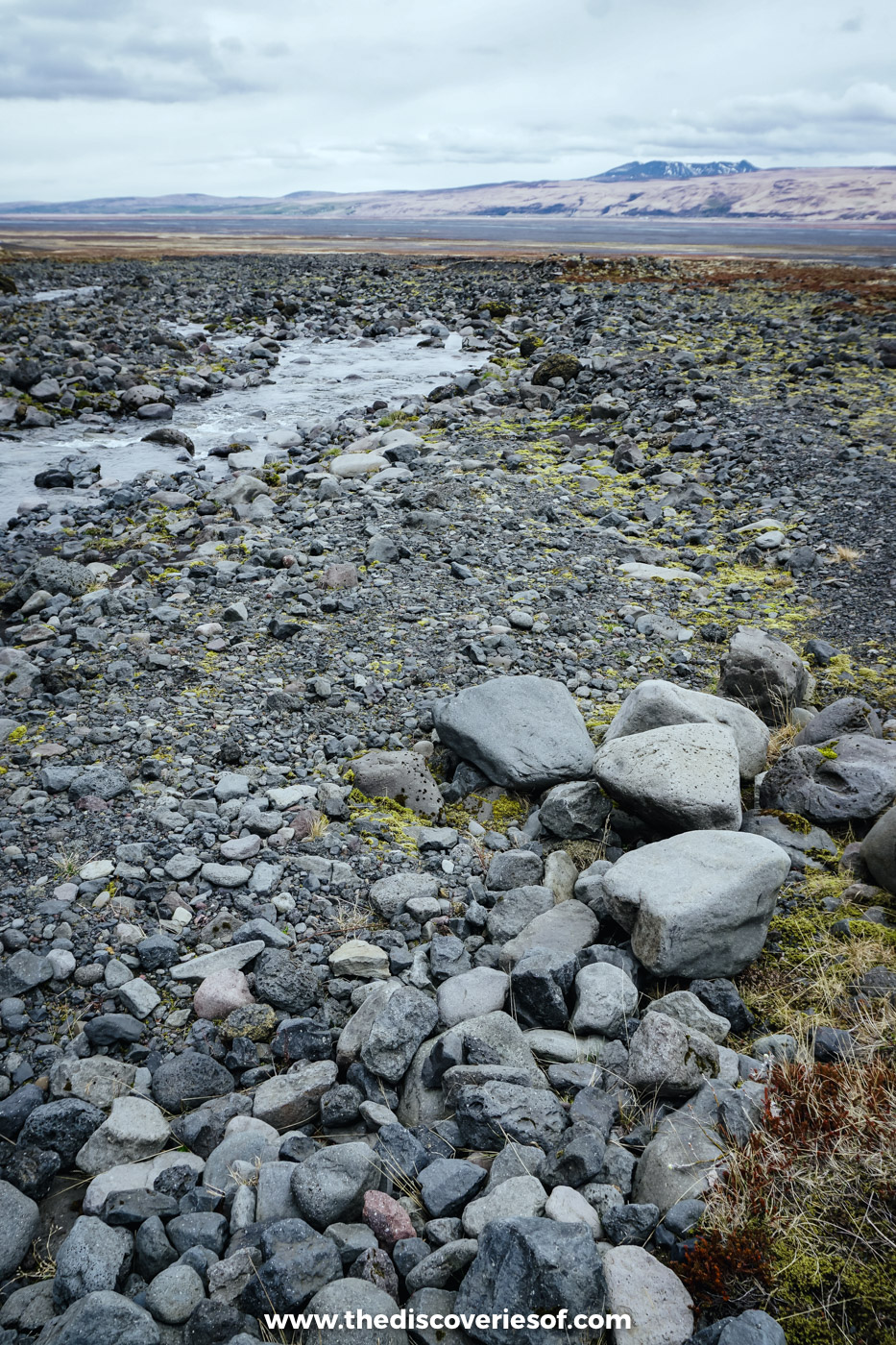
Hire car insurance in Iceland doesn’t cover water damage, and many hire companies don’t allow their cars on F-roads at all. River levels also change quickly: they rise after heavy rain and on warm days, when the glaciers are melting hardest. Unless you’re an experienced highland driver in a properly equipped vehicle, leave the driving to someone who does it every day.
By super jeep
A super jeep day is the easiest way in, and the only one outside summer. Midgard Adventure runs its tour all year from Hvolsvöllur (minimum age five), and several other operators run day trips from the south coast and Reykjavik. This page of Þórsmörk tours lists the current options. Most include short guided walks, so you don’t need to be a hiker.
By highland bus
From 1 June to 20 September, Reykjavik Excursions’ Highland Bus leaves Reykjavik’s BSÍ bus terminal at 7am and stops at Selfoss, Hella and Hvolsvöllur on the way. It reaches Húsadalur at 10.30am, Langidalur at 11am and Básar at 11.15am, and heads back in the afternoon (from about 3pm at Básar), arriving in Reykjavik at about 7.30pm. From late June to late August, a second bus runs later in the day.
That gives you about four to five hours in the valley, depending on your stop: enough for Valahnúkur and a picnic. Tickets cost about ISK 12,000 one way from Reykjavik at the time of writing, less from the towns along the way. Children under 135 cm can’t travel on it.
On foot
The romantic way in is to walk. Þórsmörk is the finishing point of the Laugavegur trail from Landmannalaugar and the northern end of the Fimmvörðuháls pass from Skógar (more on both below), and plenty of hikers time their trek to catch the bus out.
Walks to do in the valley
Climb Valahnúkur for the view
If you only do one walk, make it this one. The small mountain between Húsadalur and Langidalur is about 2.2 km from the Langidalur hut, an hour’s steady climb that gets steep near the top, with steps on the worst sections. From the summit, the whole valley spreads out below you: the braided Krossá, the birch woods, the Tindfjöll ridges and the glaciers on all sides.
From Húsadalur, the path to Langidalur (2.5 km, about 30 minutes) passes the small Snorraríki cave, so you can make a loop of it.
Walk the Tindfjöll circuit
The most popular longer walk from Langidalur is the circuit around the Tindfjöll ridges: 11 km and three to four hours, through birch woods and gullies and up onto the ridges for views back over the valley. Ask the hut wardens about the route and conditions before you set off.
Explore Stakkholtsgjá canyon
Beside the F249 on the way to Básar, Stakkholtsgjá is a canyon about 2 km long with moss-covered walls up to 100 metres high. Most people take one to one and a half hours there and back. At the very end, a narrow side branch leads into a dim, cave-like chamber where a waterfall drops in from a slit of sky above. Reaching it means scrambling over boulders and splashing through the stream. The canyon was a filming location for the scenes beyond the Wall in the seventh season of Game of Thrones.
Scramble up Nauthúsagil
Much nearer the Ring Road, behind the Stóra-Mörk farm a short drive past Seljalandsfoss, Nauthúsagil (“bull shed ravine”) is a narrow, mossy gorge that ends at a waterfall. Getting there means crossing the stream on stepping stones and hauling yourself up a couple of short sections with fixed chains. Allow 35 to 45 minutes. It’s visited all year, but it’s slippery and icy in winter.
Finish the Laugavegur trail
The Laugavegur is the country’s best-known multi-day trek, about 55 km of rhyolite mountains, lava, lakes and black sand desert between Landmannalaugar and these birch woods, with huts at Hrafntinnusker, Álftavatn and Emstrur along the way. Most people take four days, staying in the huts along the way. It’s usually walkable from late June to early September, depending on the snow, and the huts book up months ahead through Ferðafélag Íslands.
Check before you cross Fimmvörðuháls
The other way to walk in is over Fimmvörðuháls, about 25 km from Skógafoss on the coast. The trail follows the Skógá river up a long staircase of waterfalls, crosses the high pass between the Eyjafjallajökull and Mýrdalsjökull ice caps beside the Magni and Móði craters, then drops down to Básar. It’s a long, serious day, usually done in summer.
Right now, it comes with a big caveat. On 25 August 2026, the Icelandic Tourist Board passed on a warning from Ferðafélag Íslands, Útivist and the Dagrenning search and rescue team in Hvolsvöllur: as the glaciers retreat, new ravines, crevasses and scree slopes have opened up between the Baldvinsskáli and Fimmvörðuháls huts, the trail is impassable in places, and they strongly advise against crossing it while a safer route is found. Check SafeTravel and Ferðafélag Íslands before you plan it.
When to visit
Summer (late June to early September) is the main season. The buses run every day, the huts have wardens, the trails are usually clear of snow and the birches are in full leaf. It’s also the only time to walk the Laugavegur.
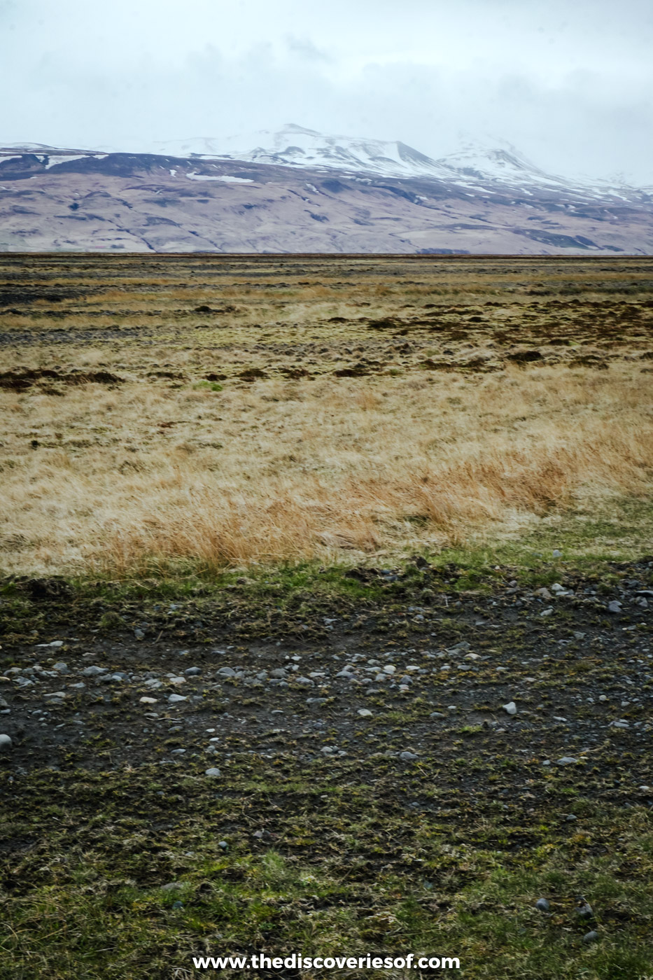
Late spring and autumn are quieter. The Langidalur hut usually opens in early May and closes in early October, depending on when the road opens, and the bus runs until 20 September. On my visit in early May, there was still snow on the peaks, the trees were bare, and the valley floor was in its straw-coloured late winter shades. Some of the higher paths can still be snowbound early in the season, so check with the wardens.
Winter is super jeep territory only. There’s no bus, the hut wardens have gone home and daylight is short, but a guided day in the snow is a very different kind of adventure. My guide to the best time to visit Iceland runs through the seasons in more detail.
Staying overnight in the valley
A day trip gives you a taste, but a night or two lets you walk properly and have the valley mostly to yourself once the buses leave.
- Volcano Huts, Húsadalur: the most comfortable option, with small cottages, private rooms, dorms, glamping tents and a campsite, plus the LavaGrill restaurant, a bar, a sauna and a natural warm pool for guests.
- Skagfjörðsskáli, Langidalur: Ferðafélag Íslands’ hut sleeps 73 on two floors, with two kitchens, a small shop and paid showers. Book through Ferðafélag Íslands.
- Básar: Útivist’s huts and campsite among the birches, on the Goðaland side of the Krossá, and the natural base for Fimmvörðuháls.
Bring a sleeping bag for any of the huts. Camping is only allowed on the marked campsites, campfires are banned, and you should stay on the paths so you don’t damage the moss. If you’re camping, read this guide to camping in Iceland first.
Staying safe
- Leave the rivers to the professionals. Don’t try to wade the Krossá or drive any of the crossings unless you know what you’re doing, and never cross a river you haven’t checked.
- Check before you go. Eyjafjallajökull and Katla are both active volcanoes, and the weather changes fast. Look at the forecast on vedur.is, road conditions on umferdin.is and alerts on SafeTravel, where you can also leave your travel plan.
- Expect all seasons in one day. The weather turns quickly between glaciers, even in July. Pack full waterproofs, warm layers and food, and walk with others on the longer trails.
More to see nearby
- Seljalandsfoss: the 60-metre falls you can walk behind, right where Route 249 leaves the Ring Road. My guide to Seljalandsfoss has the details.
- Gljúfrabúi: 500 metres north of Seljalandsfoss, a waterfall hidden inside a gorge that you step into along a shallow stream. Here’s how to visit Gljúfrabúi.
- Skógafoss: about 25 minutes east of Seljalandsfoss on the Ring Road, the 60-metre curtain of water at the start of the Fimmvörðuháls trail.
- Gluggafoss: about 20 minutes from Hvolsvöllur in the Fljótshlíð valley, a tiered waterfall that bursts out through windows in the rock, and the next stop on my jeep day. It’s one of my Iceland hidden gems.
- LAVA Centre: in Hvolsvöllur, the town the super jeeps leave from, an interactive volcano and earthquake exhibition. It’s one of my things to do in Iceland.
- Landeyjafjara: the wild black sand beach by the Westman Islands ferry port at Landeyjahöfn, where my super jeep day began. It’s in my guide to Reynisfjara and Iceland’s black sand beaches.
Map
Read next
- Iceland off the beaten path: 11 hidden gems
- Things to do in Iceland
- Iceland waterfalls: 25 of the best
- Gljúfrabúi waterfall
- Seljalandsfoss
- 7 day Iceland itinerary
- Iceland packing list
- Iceland travel guide
Love this? Save and share on Pinterest

Discover the top things to do, insider tips and hidden gems in our Iceland Travel Guide.
Read the guides →