
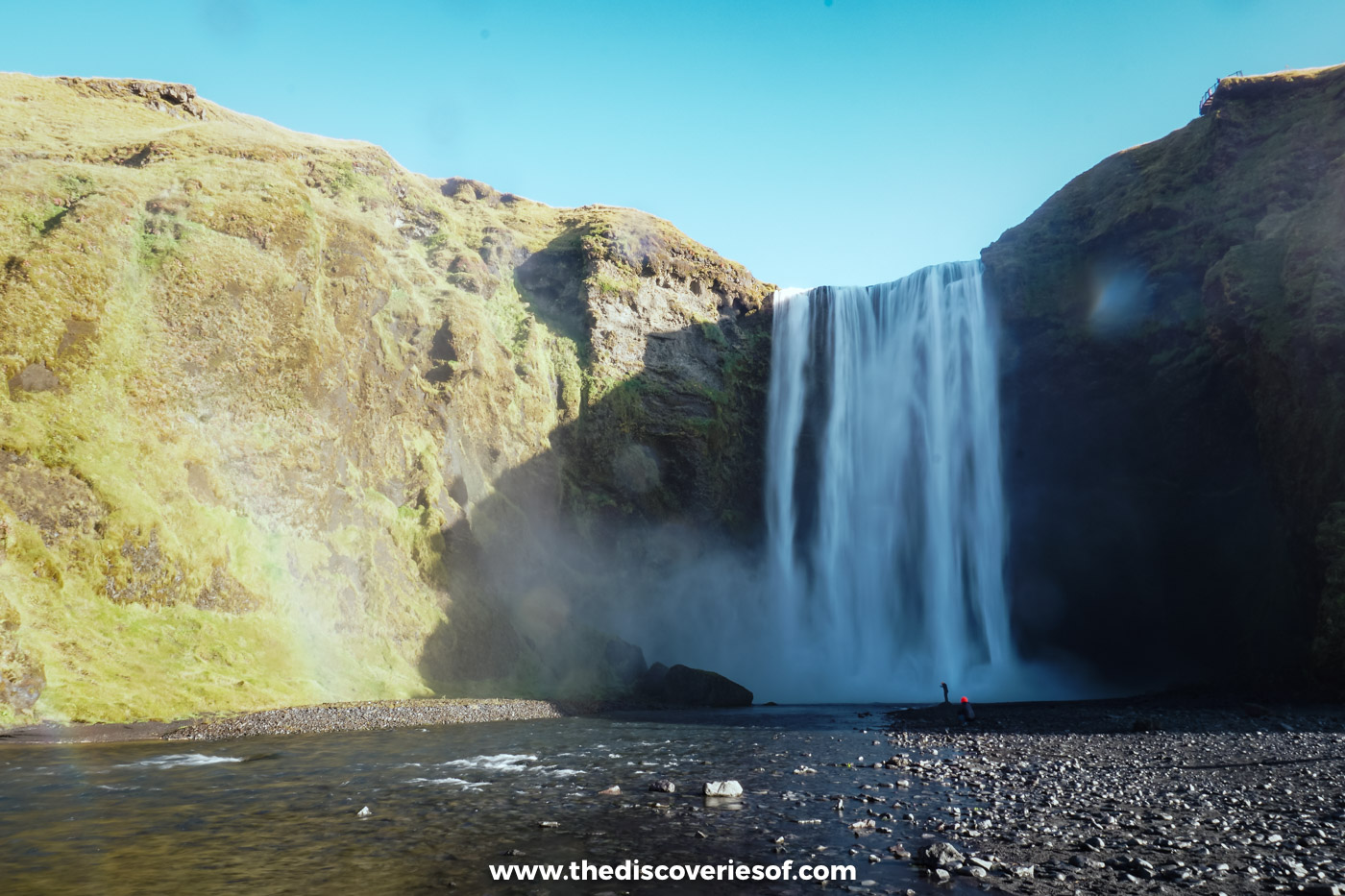

Skógafoss is the great wall of water right beside the Ring Road, and on a sunny day it throws rainbows across the river like confetti. Here’s how to see it from the bottom and the top: the steps and the trail beyond them, how wet you’ll get, the best time to go, parking and what else to see nearby.
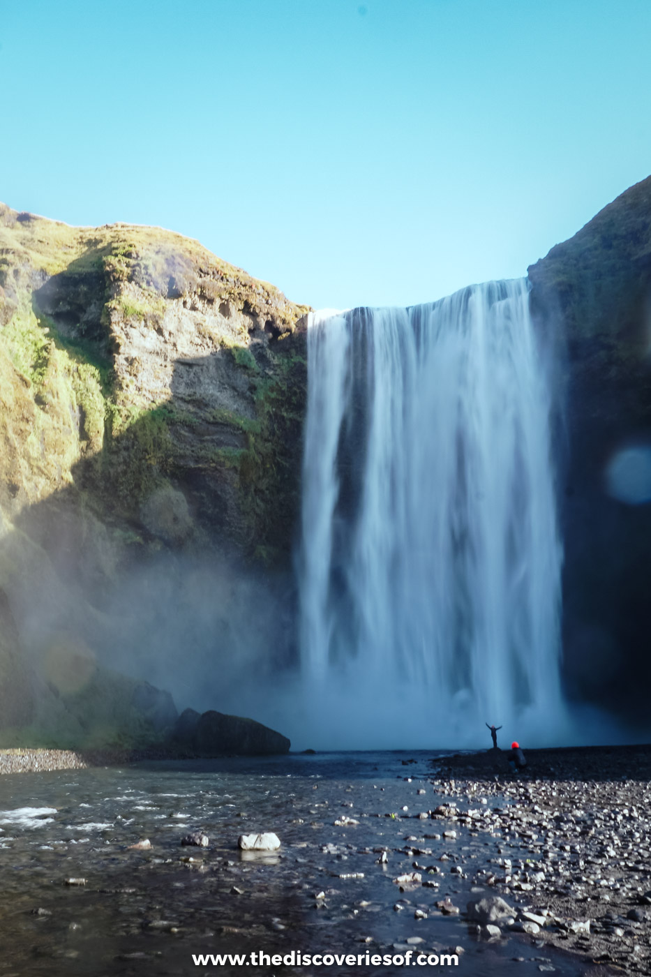
Most of Iceland’s big waterfalls make you work for them. This one doesn’t. Skógafoss sits a couple of minutes’ walk from the car park, so close to the main road along the south coast that you see it long before you’ve found a parking space, a white curtain of water hanging between two green cliffs.
I stopped here on my September self-drive, on the long day I spent driving east from Hotel Rangá to Jökulsárlón. The sky was a cloudless blue, and I walked straight up towards the pool at the base. I’d been standing there for a few minutes at most when I realised I was wet through: the spray billows out so far that there’s no such thing as a safe distance, only a less damp one.
It was worth every drop. With the sun behind me, the spray was full of rainbows, arcing over the river and the rocks below the falls. Rainbows are one of the great joys of chasing waterfalls in this country, and few deliver them as reliably as this one.
Here’s everything you need to plan your own visit.
Skógafoss at a glance
- Where: in the village of Skógar, just off Route 1 (the Ring Road) on the south coast, about 155 km east of Reykjavik.
- Drive: about 2 hours from Reykjavik, 25 to 30 minutes from Seljalandsfoss and 30 minutes from Vík.
- Entry: free. Parking costs ISK 1,000 per car, paid through the Parka app.
- Time needed: 30 minutes for the bottom of the falls, an hour if you climb to the top, and as long as you like on the trail beyond.
- The steps: 527 of them, up the right-hand (east) side to a viewing platform above the falls.
- Best time: a sunny day for the rainbows, and before 9am or after 6pm for the fewest people.
- Facilities: toilets (a small charge) by the car park, plus a campsite, hotels and cafés in Skógar.
Why the falls stop everyone in their tracks
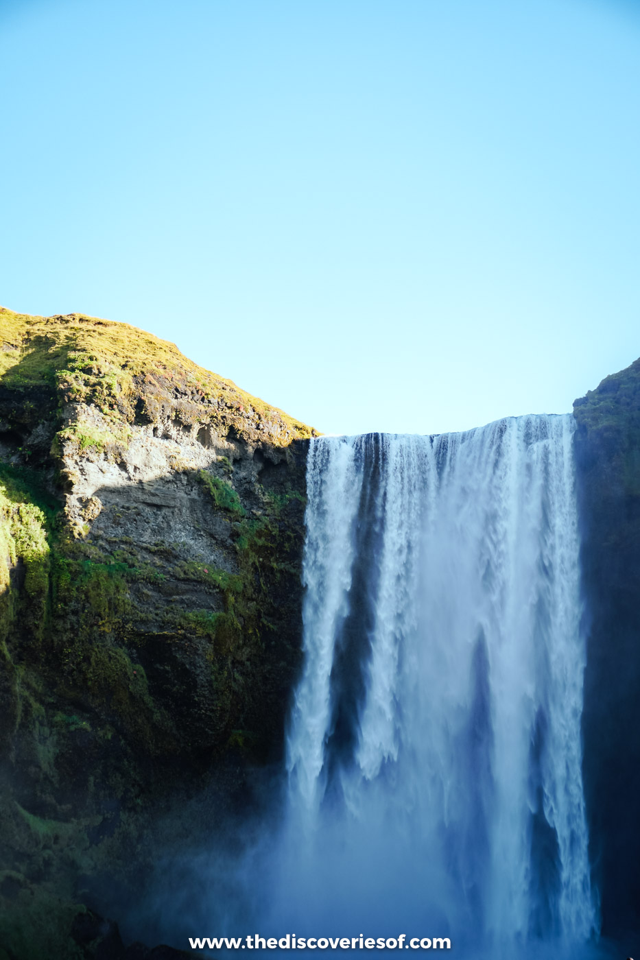
The figures are simple enough. The water drops 60 metres in a single sheer fall, and it’s about 25 metres wide, which makes it look more like a wall than a ribbon. It’s the Skógá river, which rises on the high ground between the Eyjafjallajökull and Mýrdalsjökull ice caps and comes down in a long staircase of waterfalls. Skógafoss is the last and biggest of them.
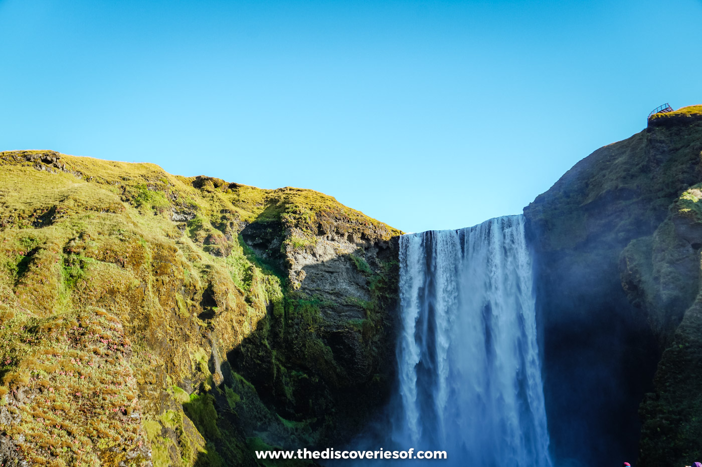
The cliff it pours over is an old coastline. Thousands of years ago the sea reached the foot of these cliffs; today it’s several kilometres to the south, across the flat farmland you drive through to get here. The same line of cliffs gives the south coast many of its best falls, including Seljalandsfoss half an hour to the west.
The falls and the river above them have been protected as a natural monument since 1987, and they come with a legend. The story goes that Þrasi Þórólfsson, one of the first settlers in the area, hid a chest of gold in a cave behind the water. Years later, a local boy found the chest and tried to haul it out by the ring on its side, but the ring came away in his hands and the chest vanished for good. That ring is said to be the one that hung on the door of the old church at Skógar, and you can see it today in the Skógar Museum, a few minutes down the road.
Standing at the foot of the falls
From the car park, a flat path and a stretch of shingle lead you straight towards the falls, with the river running alongside. You can walk almost to the edge of the plunge pool, and that’s where most people end up, faces tipped up into the spray.
How wet you get depends on how close you go and which way the wind is blowing, but anywhere near the pool, expect to be soaked within minutes. A waterproof jacket with a hood and waterproof trousers make all the difference, and shoes with a decent grip help on the wet stones. My Iceland packing list covers the rest.
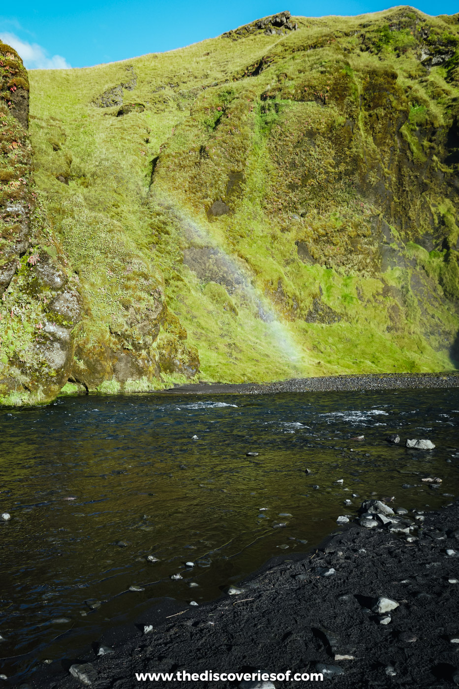
The rainbows come from the same spray. The falls face south, so when the sun is out it shines straight into the mist, and with the sun at your back you’ll see a rainbow (sometimes two) hanging over the water. Around the middle of the day, when the sun is highest, is when they’re most reliable.
Top Tip
Take your photos from a distance first, then walk closer. Once you’ve stood in the spray, every shot after that will be through a wet lens, so keep a dry cloth in your pocket and your camera in a bag until you need it.
Can you walk behind Skógafoss?
No. Unlike Seljalandsfoss, there’s no path behind the water here: the falls drop straight into a deep pool at the foot of the cliff. If walking behind a waterfall is what you’re after, Kvernufoss is just around the corner (see the nearby stops below), and Seljalandsfoss is half an hour back west.
Climbing the steps to the top
On the right-hand side of the falls, a steep staircase climbs the grassy slope beside the cliff. There are 527 steps, and most people take 10 to 20 minutes to reach the top, with plenty of pauses to catch their breath and look back down the valley. It will give your legs a workout, but it’s not technical.
At the top, a viewing platform lets you look down on the water as it tips over the lip, then out across the coastal plain to the sea. On a clear day you can see for miles.
The steps can be wet and slippery from the spray, and in winter they can ice over and close, so take your time and wear proper shoes.
Beyond the platform: the waterfall trail up the Skógá
Most visitors turn round at the platform, and that’s a shame. A path carries on upstream along the edge of the gorge, and within a few minutes you’re at the first of a whole string of waterfalls the coach crowds never see, including Hestavaðsfoss and Fosstorfufoss. There are more than 20 falls along the river before the footbridge, around 7 or 8 km upstream, and the whole stretch is part of the same protected area.
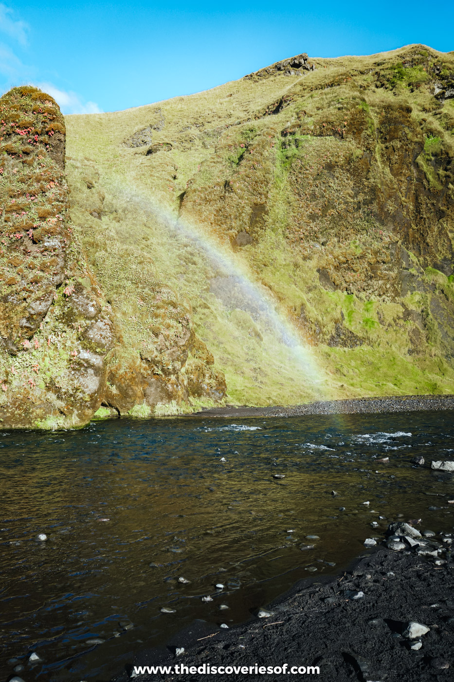
You don’t need to go far to make it worthwhile: even 30 minutes up the path and back shows you a handful of falls and a very different side of the river. Stay on the marked path, which runs close to steep drops in places, and use the stiles to cross the fences.
Fimmvörðuháls: check before you set out
The waterfall trail is also the first stage of Fimmvörðuháls, the pass between the Eyjafjallajökull and Mýrdalsjökull ice caps that drops down into Þórsmörk on the other side. It’s a serious hike: about 22 to 25 km and 8 to 12 hours over high, exposed ground, past the craters left by the 2010 eruption. It’s usually only walkable from late June or July to early September, with mountain huts on the pass that need booking ahead.
In late August 2026 Ferðafélag Íslands, Útivist and the local search and rescue team warned that glacier retreat had opened new ravines and crevasses between the Baldvinsskáli and Fimmvörðuhálsskáli huts, and strongly advised against crossing the pass until a safer route is found. Check safetravel.is before you plan anything beyond the waterfall trail.
When to visit
Time of day. This is one of the busiest stops on the south coast, and nearly every day tour from Reykjavik calls in. The coaches tend to arrive between about 10am and 4pm, so come early or late if you want the falls to yourself. The trade-off is the light: the rainbows need the sun, and the sun is highest in the middle of the day.
Time of year. Late spring and early summer bring the biggest flow, when the snow is melting on the high ground above. Summer brings long days and every trail open, but also the most people. September is a lovely compromise: the crowds have thinned, the river is still full, and from late in the month the nights are dark enough for the Northern Lights. My guide to the best time to see the Northern Lights in Iceland explains how to read the forecast.
Winter. The falls keep flowing all year, and in a cold snap they’re framed by ice, which can be spectacular. The ground around them freezes, though, and the staircase can be icy or shut, so bring microspikes. In December you’ll only get four or five hours of daylight, so plan your drive around the light and check the road conditions at umferdin.is before you set off. My guide to the best time to visit Iceland has more on each season.
Getting there and parking
By car. It’s an easy drive: follow Route 1 east from Reykjavik through Selfoss, Hella and Hvolsvöllur, and turn left at the sign for Skógar. The falls are a stop on day four of my 7 day Iceland itinerary, along with Seljalandsfoss and Reynisfjara.
Getting There
Parking costs ISK 1,000 per car and is paid through the Parka app (or its website). Unpaid fees can end up on your hire car bill with a handling charge on top. Overnight parking isn’t allowed in the main car park: if you want to wake up by the falls, the Skógar campsite is right next to them.
Without a car. Public buses along the south coast are few and far between, so unless you’re driving, a day tour from Reykjavik is the simplest way to get here.
Do
This South Coast Classic full-day tour from Reykjavik takes about 10.5 hours and stops at Sólheimajökull, Reynisfjara, Vík, Skógafoss and Seljalandsfoss.
Drones. The falls are a protected area, and you need a permit from the nature conservation authorities to fly a drone here.
Nearby stops
Skógar sits in the middle of the south coast’s best stretch, and a lot of good stops lie within half an hour.
- Kvernufoss: a 30-metre waterfall hidden in a gorge just east of the village, and one you can usually walk behind in summer. Park at the Skógar Museum (ISK 750 through Parka), go through the gate to the right of the museum buildings and follow the stream up the valley: it’s about 1.5 km there and back, so allow 30 to 45 minutes.
- Skógar Museum (Skógasafn): a folk museum, a cluster of old turf and timber buildings and a transport museum, and the home of Þrasi’s ring. Open daily (9am to 6pm in summer, 10am to 5pm from September to May); ISK 3,000 for adults, free for children under 12.
- Seljalandsfoss and Gljúfrabúi: 25 to 30 minutes west, the waterfall you can walk behind and the one hidden in a gorge next door.
- Seljavallalaug: a concrete pool built into a hillside in 1923, about 15 minutes west by car plus a 15 to 20 minute walk up the valley. Free, with only a basic changing hut.
- Sólheimajökull: about 15 minutes east, a tongue of the Mýrdalsjökull ice cap that you can walk up to on a short gravel path (parking ISK 750). Don’t step onto the ice without a guide.
- Sólheimasandur plane wreck: the shell of a US Navy DC-3 that crash-landed on the black sands in 1973, all crew surviving. The car park is just off the Ring Road east of Skógar, and it’s 3.5 to 4 km each way on foot, or take the summer shuttle.
- Reynisfjara and Vík: about 30 minutes east, the black sand beach with its basalt columns and the Reynisdrangar sea stacks offshore.
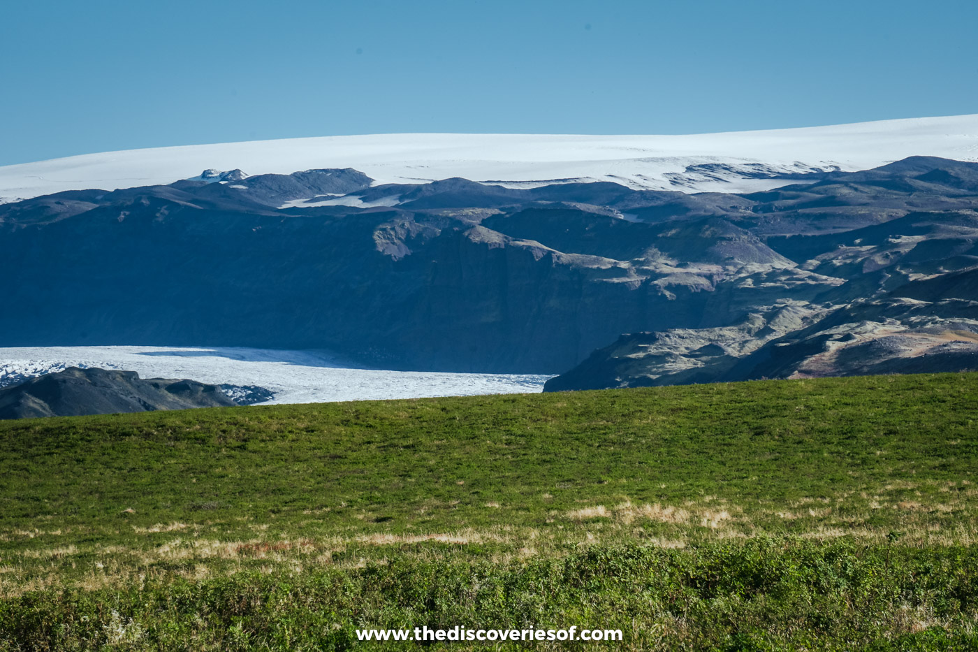
For more falls along the same road, my guide to Iceland’s waterfalls covers 25 of the best, and Iceland off the beaten path has the quieter places I found on the south coast.
Map
Read next
- Iceland waterfalls: 25 of the best
- Seljalandsfoss: how to walk behind a 60-metre curtain of water
- Gljúfrabúi: the waterfall hidden in a gorge
- Reynisfjara black sand beach
- Iceland off the beaten path: 11 hidden gems
- 7 day Iceland itinerary
- Iceland Ring Road guide
- Iceland travel guide
Love this? Save and share on Pinterest

Discover the top things to do, insider tips and hidden gems in our Iceland Travel Guide.
Read the guides →