

There are plenty of incredible hikes in Joshua Tree, but few end with a rock looking back at you. Here’s where to park for Skull Rock, how the loop around it works, when to go and the best spot for a photo.
Joshua Tree National Park has hundreds of pretty boulders to boast about. I mean, most national parks do, if I’m being honest. But Joshua Tree is the only one that can claim a boulder that is almost perfectly skull-shaped.
And that’s worth a look, in my book.
Skull Rock is a hotspot for both serious hikers and casual meanderers. You can see it from your car window on Park Boulevard, but the better way to meet it is on foot: the Skull Rock trail is a short nature loop through the boulder piles of Jumbo Rocks. I walked it on a bright November afternoon, and it’s the version of Skull Rock I’d recommend.
It may not be the most challenging of hikes, but there are oodles of boulders to scramble on along the way. Planning a longer day? My Joshua Tree hikes guide and my pick of things to do in Joshua Tree have the rest. Enough preamble: strap on your comfiest hiking shoes and let’s get started.
Skull Rock at a glance
- Length: a 1.7-mile loop with about 150 feet of up and down
- Time: 1 to 2 hours at an easy pace
- Difficulty: easy, mostly sand with a short section of rocky steps near the campground
- Start: the Skull Rock parking area on Park Boulevard, or inside Jumbo Rocks Campground if you’re camping
- Facilities: none: no water, almost no shade and no signal
- Park entry: $30 a vehicle, valid for a week; pay by card at the entrance
- Dogs: not allowed on the trail
How Skull Rock got its face
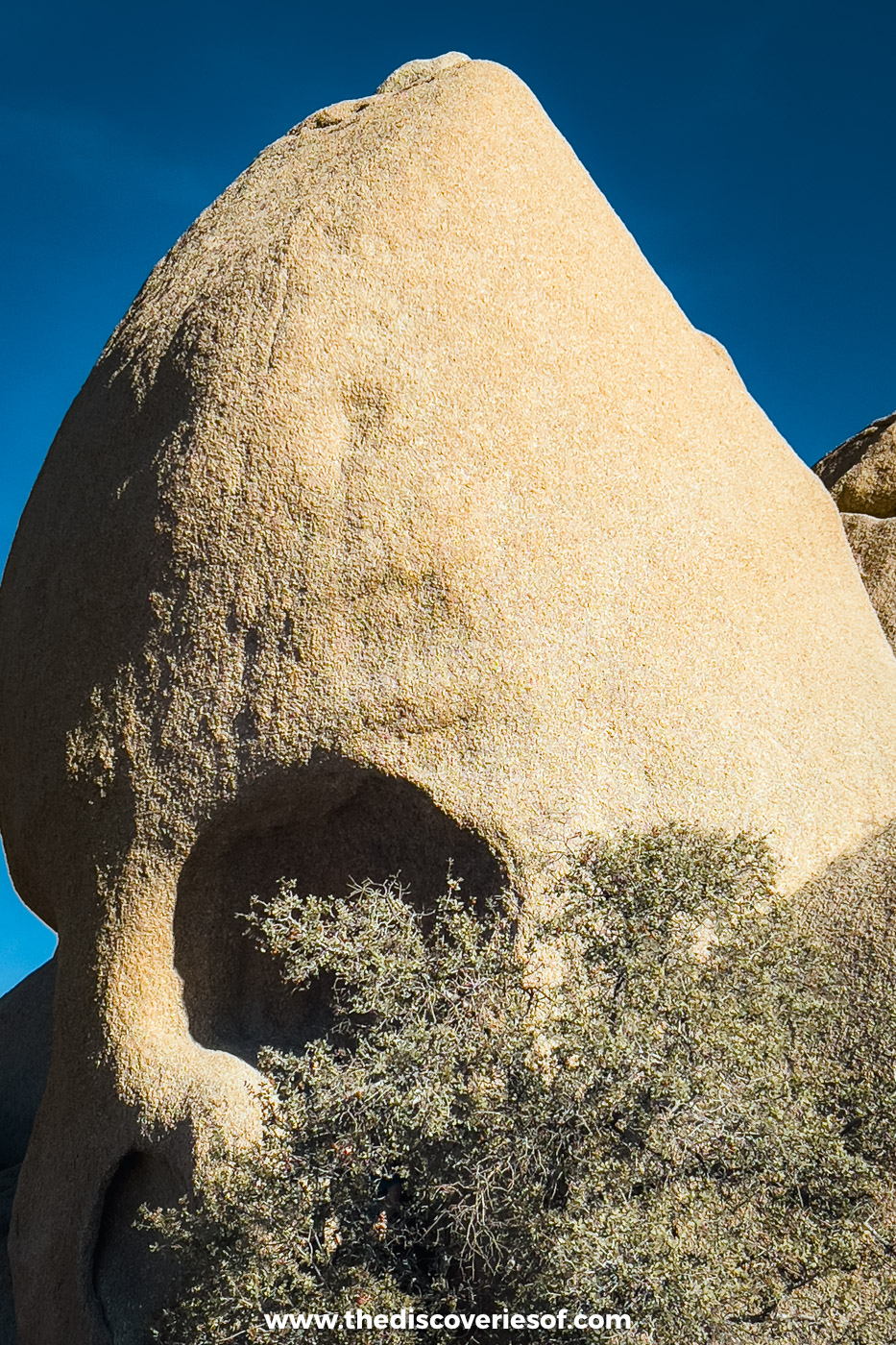
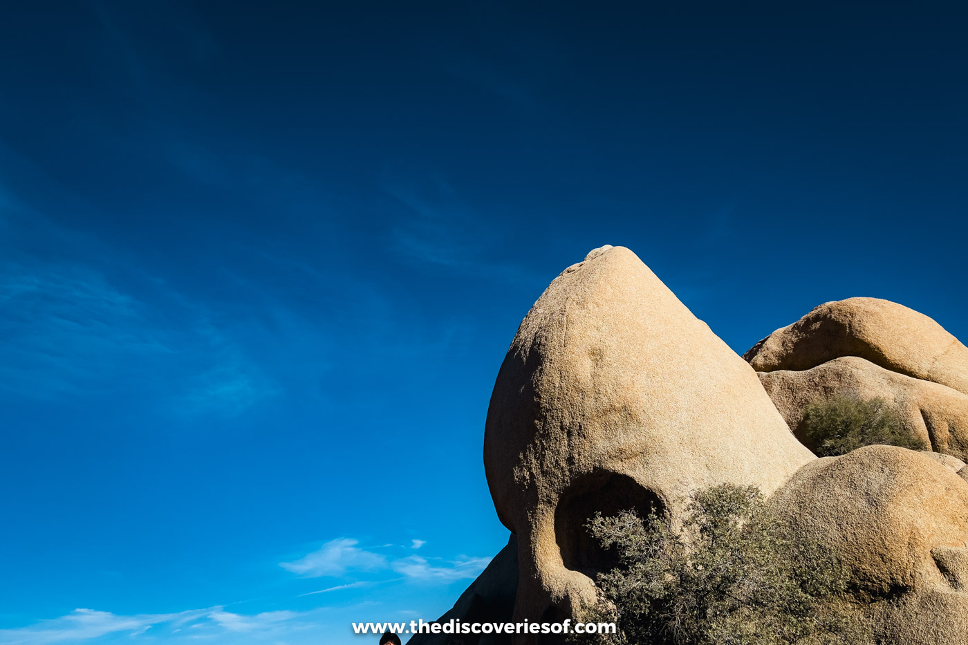
Like the rest of Jumbo Rocks, Skull Rock is granite that cooled deep underground and was slowly uncovered. Rain did the rest: water pooled in two dips on the boulder’s face and, over thousands of years, wore them into hollow eye sockets above a smaller hollow for the nose. It sits about 70 feet from the road, just east of the campground entrance.
Hiking the Skull Rock trail, step by step
Find a space by the road
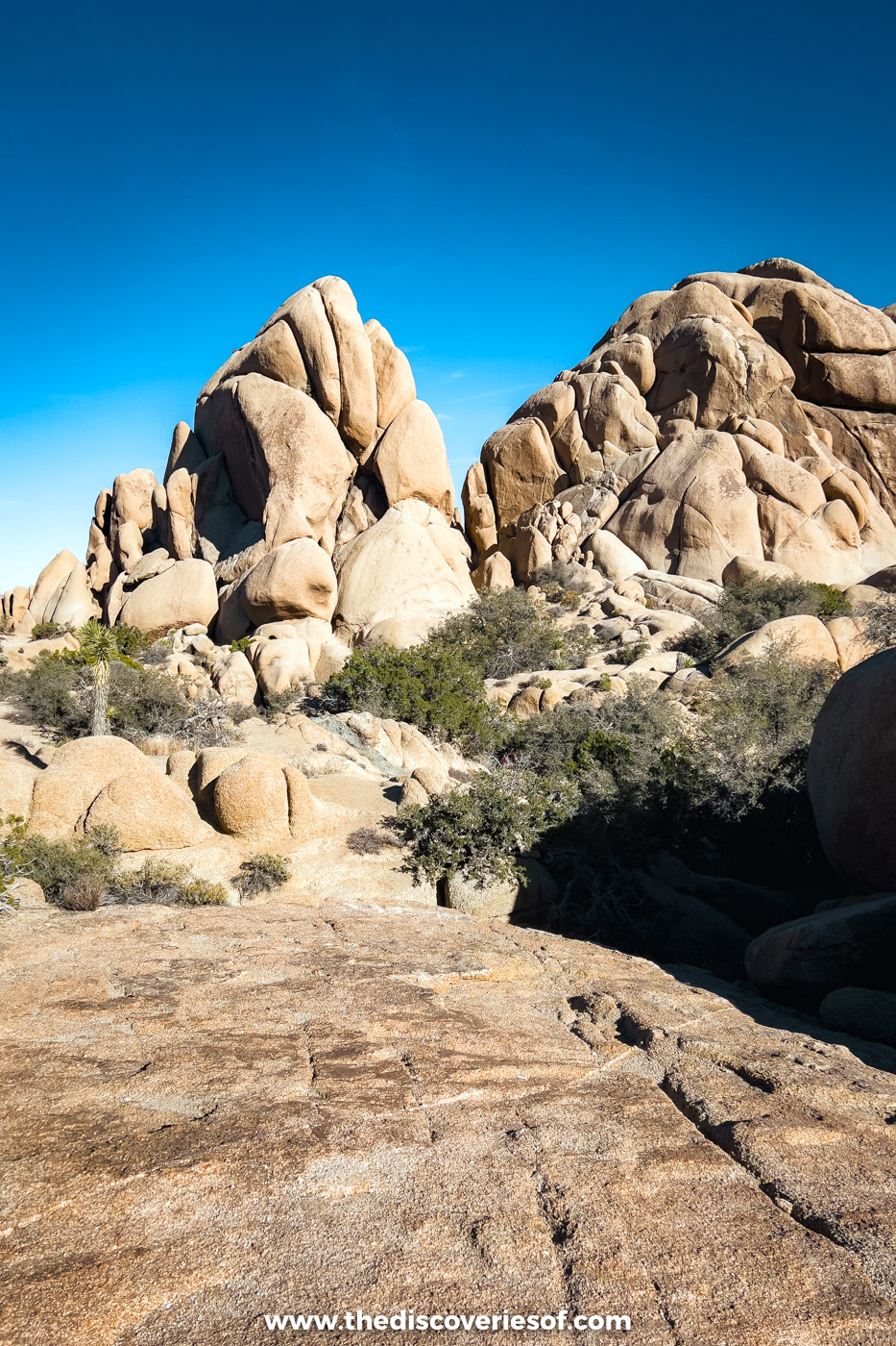
Excited? You should be. The trail starts from the Skull Rock parking area, a strip of roadside pull-outs on both sides of Park Boulevard right by the rock. Fair warning: spaces are a rare commodity in spring, on holidays and at weekends, and parking inside Jumbo Rocks Campground is meant for campers (park in a site you haven’t booked and you risk a fine).
Still, elbowing your way through the crowds for a parking space is worth it, I promise.
The loop can be walked in either direction. The route below runs anticlockwise, starting on the far side of the road from the rock, so you save the skull for the end. That’s the way round I walked it.
Getting There
Skull Rock is about 11 miles from the Oasis Visitor Center in Twentynine Palms (North Entrance) and 23 miles from the Joshua Tree Visitor Center (West Entrance). The drive from Palm Springs takes roughly an hour and 20 minutes.
Follow the wash through the boulders
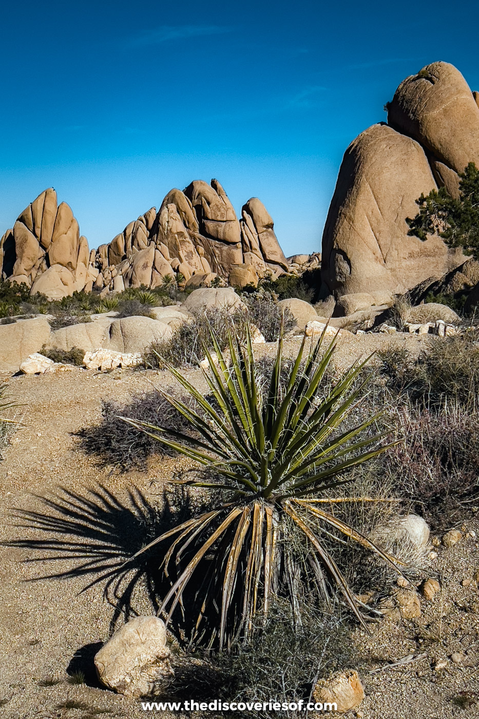
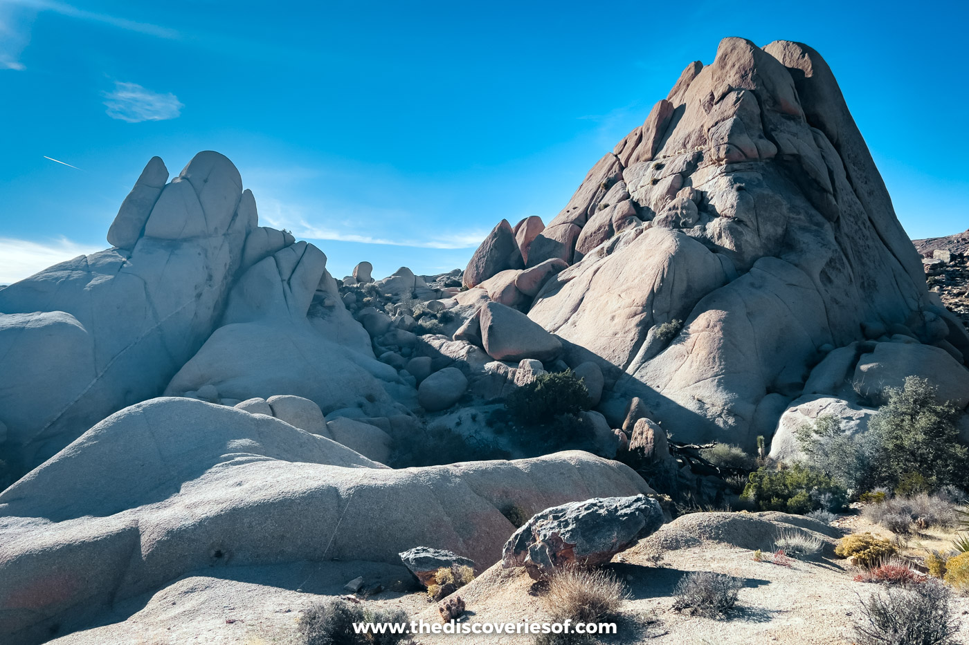
The first half of the loop heads off across the desert on the north side of the road, between big boulder fields, before turning left along a sand and gravel wash. In spring, desert wildflowers bloom on either side of you, and cat’s claw acacia and desert almond crowd the sandy stretches.
You’ll weave around boulders that many hikers stop to climb (and why not?), squeeze past one that sits right in the path, then top a low ridge before dropping back to the road.
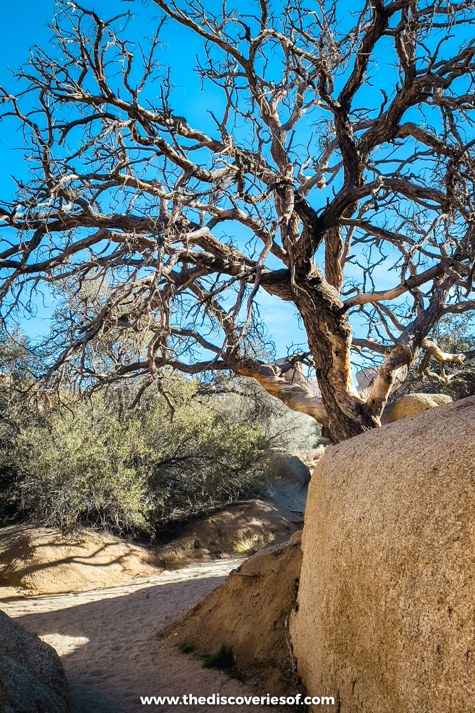
Look out for the gnarled old trees wedged between the rocks, too.
Cross into Jumbo Rocks
The trail crosses Park Boulevard at the campground entrance and follows the campground road past the amphitheatre. Head left at the “Skull Rock” sign to continue.
Placards on this side explain the plants of the high desert: California buckwheat, pinyon pines and Mojave yucca, plus scrubby oaks among the boulders. The only real climb is a short run of rocky steps, about 20 to 40 feet, before the path eases down to the rock.
Meet Skull Rock at the end of the loop
It took me about half an hour, with plenty of photo stops, to get from the start to the skull, and you can’t really miss the large unworldly protrusion just off the path, to be honest. There’s something vaguely alien about Skull Rock, with its slightly conical forehead, enormous eye sockets and large, weird nose (no offence). You can walk right up to it for a closer look and a fun selfie.
For a cooler perspective, scramble up the rocks on the opposite side of the path. From there it looks like a ruffled giant emerging grumpily from its bed of boulders, as though something woke him up too early.
And he’s not happy about it.
After your photoshoot, it’s only a few steps back to the road and your car.
Tips before you set off
- Arrive early, especially at weekends and in spring, when the pull-outs fill fast.
- Wear a pair of good hiking shoes with grip for the sand and the boulders, and pack high-SPF sunscreen and a water bottle: there’s no water and barely any shade.
- Want a longer walk? The Discovery Trail links the loop to the Split Rock Loop, for about 5 to 6 miles in all.
Skull Rock FAQs
How long is the Skull Rock loop?
A 1.7-mile loop. Allow 1 to 2 hours at a leisurely pace (stopping to take pics on the way, of course).
How hard is it?
Easy, for anyone with a basic level of fitness, and serious hiking gear isn’t necessary unless you plan to scramble on the boulders.
Can you see Skull Rock without doing the hike?
Yes. It’s a few steps from the pull-outs on Park Boulevard, so you can stop, snap it and drive on. The loop shows you the boulders around it too, away from the roadside crowds.
When is the best time to go?
October to April is the most comfortable time, with wildflowers in March and April. There’s no shade, so go early or late in the day, and in summer start before 10am. If you want a tête-à-tête with the boney stone head (pardon the pun) without anyone clogging up your views, the earlier the better. For the seasons, see when to visit Joshua Tree.
Map
Read next
- The best hikes in Joshua Tree National Park
- The Arch Rock trail and Heart Rock
- Walking the Hidden Valley loop
- The best things to do in Joshua Tree
- A 3-day Joshua Tree itinerary
- Beautiful places in the US
Love this? Save and share on Pinterest

Discover the top things to do, insider tips and hidden gems in our USA Travel Guides.
Read the guides →