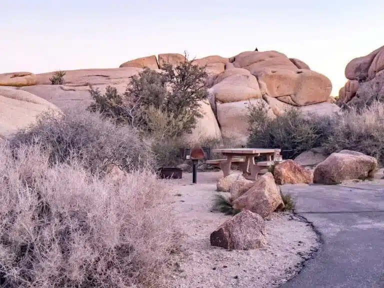

Up for wandering along cacti-filled trails through the desert? These unmissable hikes in Saguaro National Park offer that and plenty more.
Arizona never fails to impress. I swung by Saguaro National Park on a trip in February and completely fell head over heels for its prickly landscape.
Do yourself a favour and head to the park to spot the saguaro, the largest cactus in the US. No trip to Tucson is complete without it.
Saguaro is actually split into two sides, East and West, with the city in between. The East is fantastic for a remote backcountry hiking experience, while the West is my personal fave. Why? Well, it has the best scenery, more saguaro cacti and is smaller than the East side, meaning it’s easier to explore. One vehicle pass ($25, valid for seven days and payable by card only) covers both.
In general, though, the best way to explore Saguaro is via one (or more) of its incredible hiking routes.
Not sure where to start? Read on to discover the best hikes in Saguaro National Park: these are the trails you need to add to your itinerary.
The best hikes in Saguaro National Park
Wasson Peak: climb to the highest point in the Tucson Mountains
Length: about 7 miles
Time: 4 to 5 hours
Difficulty: hard

Wasson Peak is the highest point in the Tucson Mountains, at 4,687 feet, and reaching it can be stamina-testing. Fair warning: your muscles won’t appreciate the roughly 1,800 feet of elevation gain (closer to 2,000 feet once you count all the ups and downs) through dry gullies and along high ridgelines unless you’re reasonably fit.
The most popular route starts at the King Canyon trailhead on Kinney Road in Saguaro West and joins the Hugh Norris Trail for the final switchbacks to the summit (until 24 November 2026, reach the trailhead via the McCain Loop detour).
But the vistas are truly stellar, some of the best in the park: desert plains to the north and the Santa Catalina Mountains to the east.
You’ll also get up close and personal with some of the saguaro cacti the park’s named after, and boy, do they steal the show. You’ll also pass prickly pears, cholla and ocotillos to add to your dose of cacti beauty.
Hit this trail early if you can. The views from the top while the sun slips upwards and bathes the desert and far-off mountains in its warm, waking fire are beyond gorgeous.
Bridal Wreath Falls: hike to a seasonal waterfall in Saguaro East
Length: 5.5 miles
Time: 3 hours
Difficulty: medium
The Bridal Wreath Falls Hike is another busy out-and-back trail, but you’ll get why when you see it. One of the prettiest hikes in Saguaro National Park, it leads through stunning landscapes to a waterfall that can be particularly beautiful after some decent rainfall.
It starts at the Douglas Spring trailhead at the far eastern end of Speedway Boulevard and climbs steadily into the foothills of the Rincon Mountains, about 1,050 feet in all (it gets moderately steep, but it’s nothing you can’t handle), through ever-changing vistas.
One minute it’s the mountains and their saguaro and barrel cacti, next it’s grassy fields with creosote and mesquite. You might even catch some views of Tucson from some angles.
The falls are small but lovely and peaceful: the perfect pitstop. They flow mainly after winter rain or snowmelt and summer monsoon storms, and can be a trickle or dry the rest of the year. The trail is also well-marked and defined, so if you’re hiking solo, there’s no fear of getting lost.
King Canyon and Gould Mine loop: petroglyphs, cacti and an old mine
Length: 2.4 to 2.5 miles
Time: 1.5 hours
Difficulty: easy to moderate
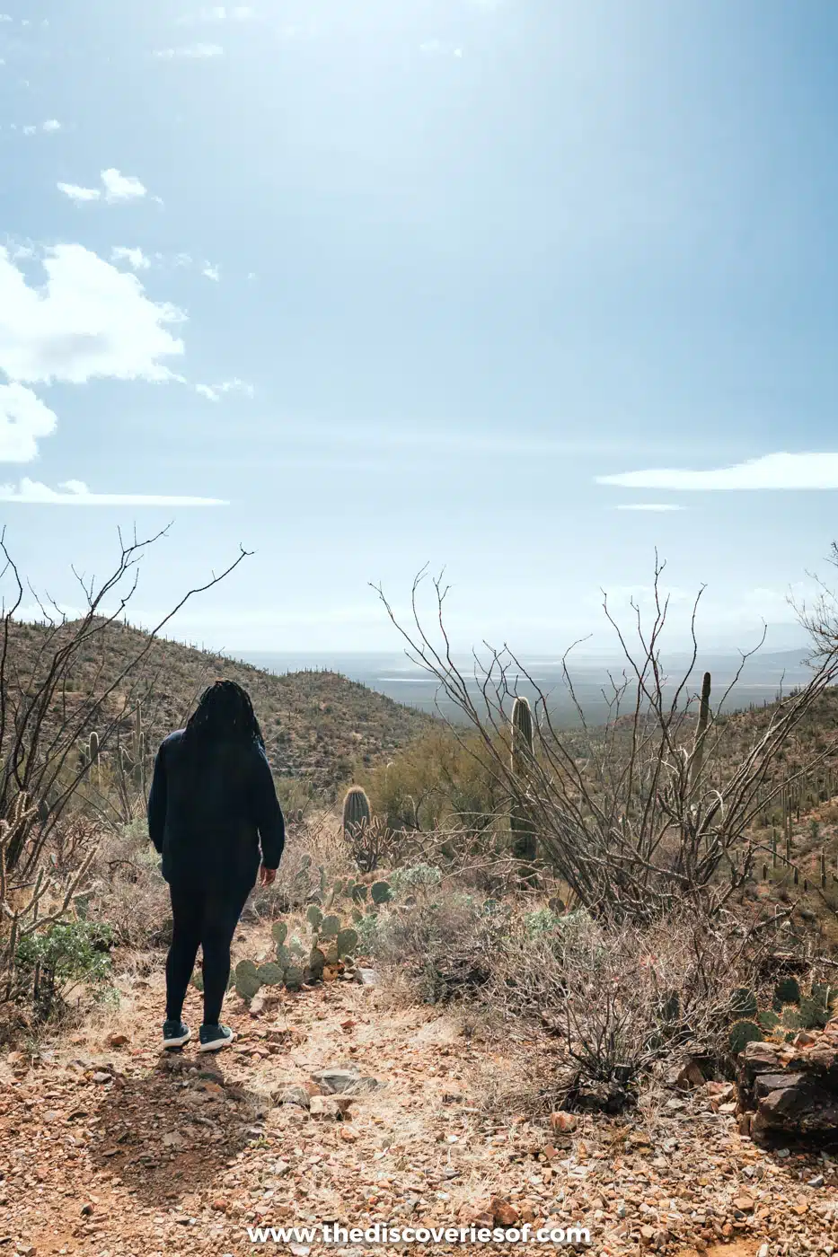
My personal favourite, the King Canyon and Gould Mine loop trail offers some of the best hiking in Saguaro National Park if you love a bit of history and are after a beginner-friendly trek. It’s a cool hike of about 2.5 miles through the cacti-covered canyon and back on a pretty loop. I hiked it in February, and it’s nice and easy, with some elevation gain but not much (about 380 feet in all).
You’ll begin in King Canyon, following its sandy wash up into the park (FYI, in spring, the trail bursts with wildflowers after wet winters).
There’s a petroglyph site along the way, in King Canyon Wash, Hohokam in origin and several hundred years old. There’s a serene picnic spot, the Mam-A-Gah picnic area, at the halfway point, so bring some snacks for a pleasant lunch stop.
After a tasty snack break, continue the loop via Sendero Esperanza and the Gould Mine Trail back to the road near where you started. You’ll spot the old Gould Mine, worked from 1906, near the high point of the loop.
Bring water: aside from the visitor centre, there aren’t places to refill, and the desert heat can kill, literally. Wear tonnes of sunscreen, too.
The trailhead is on Kinney Road, just outside the park boundary near the Arizona-Sonora Desert Museum. Pay the park entry fee at the kiosk (cards only), and note that dogs aren’t allowed. Until 24 November 2026, Kinney Road is closed for water-line works between the eastern McCain Loop junction and the Desert Museum entrance, but the trailhead stays open: follow the signed detour via McCain Loop and allow extra time.
It’s honestly one of the most unmissable things to do in Arizona.
Valley View Overlook: big views for very little effort
Length: 0.8 miles
Time: 30 minutes
Difficulty: easy
Okay, so the Valley View Overlook is not an intense hike, but it’s worth the half hour it takes to complete it. And you get a lot of incredible views for such a short out-and-back trail.
There’s only an elevation gain of about 30 feet, so you won’t feel a calf burn on this route. But you might strain an eyeball staring at the beautiful views of Avra Valley laid out below and vistas of Newman Peak and Picacho Peak to the north.
Now you see why this is one of the most popular trails with heavy foot traffic.
It’s a sandy trail with abundant wildlife, including lizards, rabbits and birds. The path bursts into life in spring with wildflowers, making it even more beautiful (if possible). It’s open year-round, though, so you can pop by for a walk anytime.
Manning Camp: an overnight climb into the pines
Length: 15 miles (out and back) from Turkey Creek; much longer from the Tucson side
Time: two days
Difficulty: hard
Manning Camp is the best hike in Saguaro National Park for those that like a challenge and have the calves to prove it. The camp sits at about 7,900 feet, so it’s an intimidating climb as you rise from the cacti-strewn desert to the cool ponderosa pine forests in the Rincon Mountains.
If your thighs are ready for the taxing journey, go forth and enjoy the majestic scenery and sensational views this arduous hike offers. The higher you climb, the more astounding the panoramas will be as you move from desert scrub through grassland and oak woodland into the pines.
Treat it as an overnight (or longer) backpacking trip, especially if you want to stop and look around at the glorious scenery and take short side trips for even better views. Conveniently, there’s a campground right there for you to stay at. The shortest route is 7.5 miles each way from the Turkey Creek trailhead, on a rough road that needs a high-clearance four-wheel drive. From the Tucson side, the Douglas Spring Trail alone is 8.8 miles to Cowhead Saddle before the final climb.
Top Tip
you will need a backcountry permit from Recreation.gov to camp at Manning Camp, though not to day-hike. Carry at least a gallon of water per person per day and treat any water you find.
Loma Verde loop: an old copper mine and cactus forest views
Length: 3.8 miles
Time: 1.5 to 2 hours
Difficulty: easy
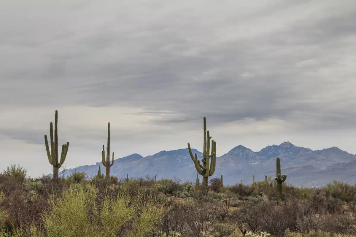
Looking for the best hikes in Saguaro National Park? Look no further. The Loma Verde trail is splendid for its ever-changing scenic views.
Even though it’s fairly short and almost flat, you’ll experience a plethora of different flora and fauna along the way, starting with a grove of mesquite trees, some isolated saguaro and a couple of old barrel cacti.
Once you hike through the seasonal wash, you’ll reach the Loma Verde Mine, an old copper mine dating from 1901. After that, take a right on Pink Hill for a pretty view of the cactus forest below.
It’s not as heavily trafficked, so if you prefer your treks to be people-free, this is good for you.
Garwood Trail: saguaro forest and birdlife in Saguaro East
Length: 3.3 miles
Time: 1.5 to 2 hours
Difficulty: easy
This out-and-back trek from the Douglas Spring trailhead is easily one of the best trails in Saguaro National Park. It takes you through a magnificent saguaro forest and continues winding its way up toward the Rincon Mountains, with only around 150 feet of climbing.
It’s a popular trail for hiking and walking, so you’ll likely be amongst plenty of other eager hikers. The trail is a mix of sandy and rocky terrain, but it can get a little muddy and slippery after a bout of wet weather.
You can adapt this trail to your hiking preference as many other short trails branch off of it, such as the Converse, Bajada Vista, Wildhorse and Carrillo trails. So take a detour if you feel you want a little more bang for your hiking buck.
It’s also a great trail to spot wildlife, birds in particular. Cardinals, American kestrels and Gila woodpeckers are just some of what you can expect. Near the far end, the trail crosses the creeks of Deer Valley Wash, which run after rain.
Desert Ecology Trail: a short stroll among labelled desert plants
Length: 0.25 miles
Time: 10 to 15 minutes
Difficulty: easy
The flat Desert Ecology Hike is much more of a stroll, but it’s worth the quick detour through a perfect selection of Sonoran Desert flora for a close-up look. There are multitudes of cacti species and desert-dwelling scrub, most with labels detailing what they are and how they survive and thrive in the arid climate.
There are also signs full of fascinating information about desert life in this one-of-a-kind paradise that you can peruse and better understand how the ecology works.
The paved path is accessible to everyone at any level of fitness, and there are benches where you can rest and enjoy the scenery, though there’s very little shade here (shade is not plentiful anywhere in Saguaro). It’s also one of the few trails in the park where dogs on a lead are allowed.
Ridge View Trail: Rincon Peak views from the quiet south-east
Length: about 2 miles
Time: 1 to 1.5 hours
Difficulty: easy
You don’t need to work hard for the views on the Ridge View Hike; the trail only has an elevation gain of around 400 feet. Starting from the Loma Alta trailhead at the end of Camino Loma Alta, you climb gently through the desert brush in the valley, then ascend a tad more steeply over a rocky slope until you reach a particularly picture-perfect viewpoint.
It’s on top of a small hill with panoramic views of Rincon Peak and down into Box Canyon. But the viewpoint at the top is only half the fun. On the way up and down, you’ll see tons of healthy old saguaros with multiple arms branching out of them. That’s before I even mention the opuntia and ocotillo.
You can blaze this trail any time of the year as it’s short enough, but honestly, spring is the best season, thanks to the multitudes of those famous wildflowers I keep mentioning.
Sorry, not sorry: those flowers elevate your hiking experience. Plus, after a wet spell, you may see some seasonal waterfalls on the ridge.
Signal Hill: the park’s best petroglyphs
Length: about 0.25 miles
Time: 20 minutes
Difficulty: easy

The jury is still out on whether this one really counts as a hike or not, but another one of the easiest trails in Saguaro National Park, the Signal Hill trail, leads to some stunning Hohokam petroglyphs, between about 550 and 1,550 years old, on broken rocks that are a must-see.
You’ll have to climb some stone steps from the Signal Hill picnic area (and watch out for rattlesnakes). But it’s easy work and the landscape views beyond the petroglyphs are phenomenal.
Tips for hiking in Saguaro National Park
Bring hiking essentials
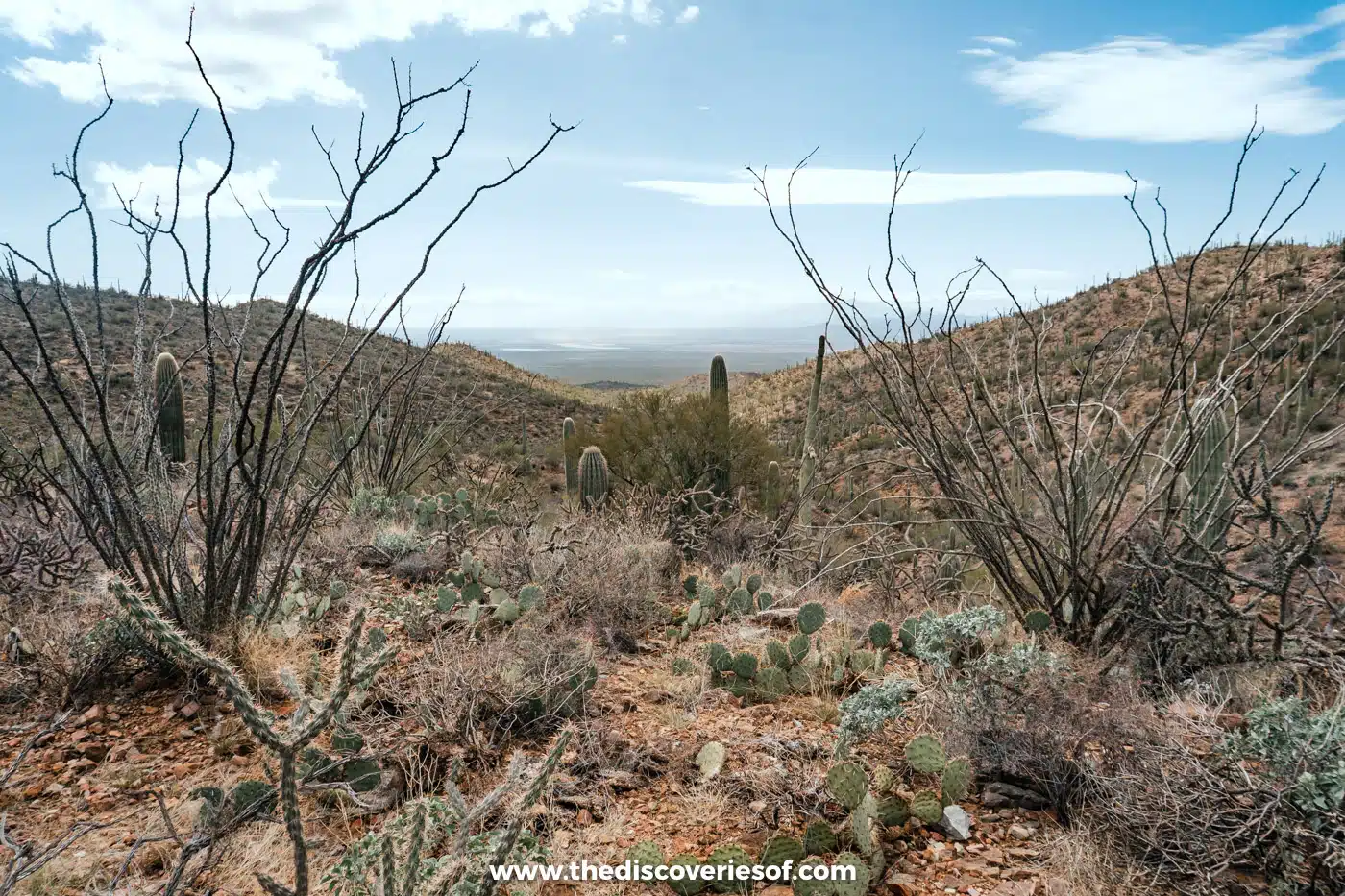
Want to know what to take with you on Saguaro National Park’s best hikes? A good pair of hiking trainers is the obvious choice for a start. However, you might need slightly more serious hiking boots if tackling the trickier trails.
A backpack is another must, as is a water bottle, hat and sunglasses to counter the desert heat and glare.
If you’re feeling a little bougie and want to go the extra mile to take some incredible footage of your experience in Saguaro, get a GoPro for gorgeous videos and images.
Bring water, lots of it. There aren’t any places besides the visitor centres to refill your water bottle, and the desert heat is no joke, so don’t treat it lightly. Sunscreen is also a must, so bring tonnes of it and reapply regularly for the best effects.
When to visit
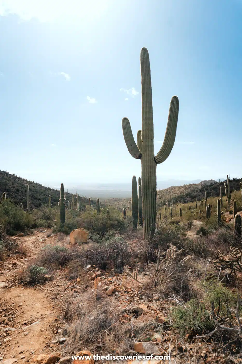
Many people hit the trails in winter when the temperatures are mild and the weather is pleasant, so you might also want to.
However, if your plans take you into Tucson during the warmer months and you still want a taste of those gorgeous trails, get prepared for some scorching heat. Most of the trails are in the open, leaving little shade to take a break from the beating sun.
In this case, plan to trek the Saguaro National Park trails either early or late in the day: the park advises before 10am or after 4pm in summer. During the late-summer monsoon, never cross a flooded wash. For more, see my guide to the best time to visit Saguaro National Park.
Animal safety
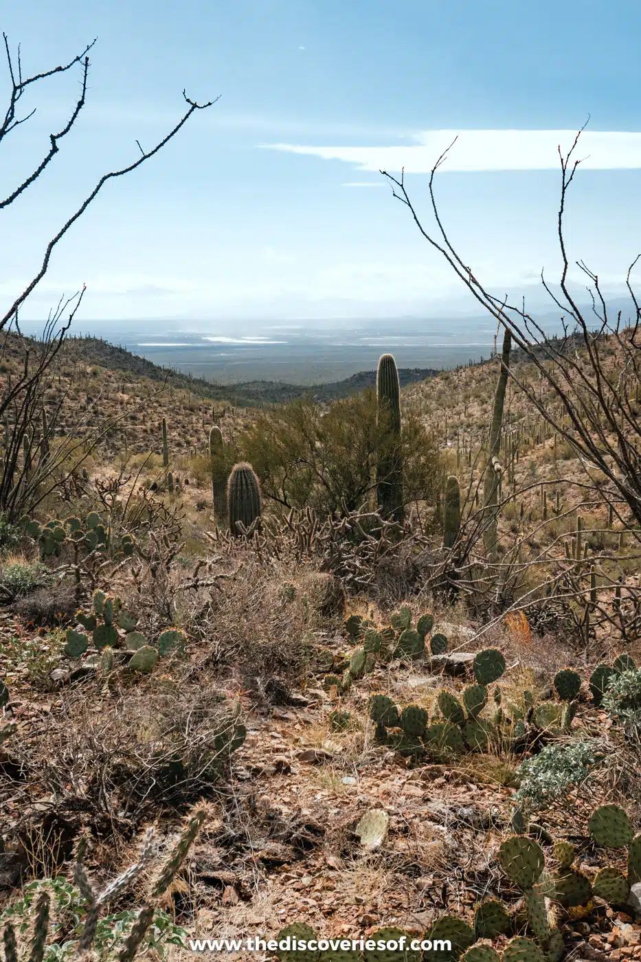
You may encounter snakes during your Saguaro National Park hiking expedition. Keep your eyes peeled, and if you see one, skirt around it and don’t shoo it away.
Saguaro is also home to Africanized bees. These bees are incredibly territorial and aggressive, so if you hear the buzz of a swarm, keep away and put some distance between you and the bees.
Map
Read next
- The best hikes in Sedona
- The best things to do in Tucson
- 18 brilliant day trips from Sedona
- The best things to do in Saguaro National Park
Love this? Save and share on Pinterest

Discover the top things to do, insider tips and hidden gems in our USA Travel Guides.
Read the guides →