
The best Northern Lights forecast apps and websites, what the Kp index, Bz and solar wind numbers actually mean, and the cloud-cover method that found me a clear sky near Tromsø.
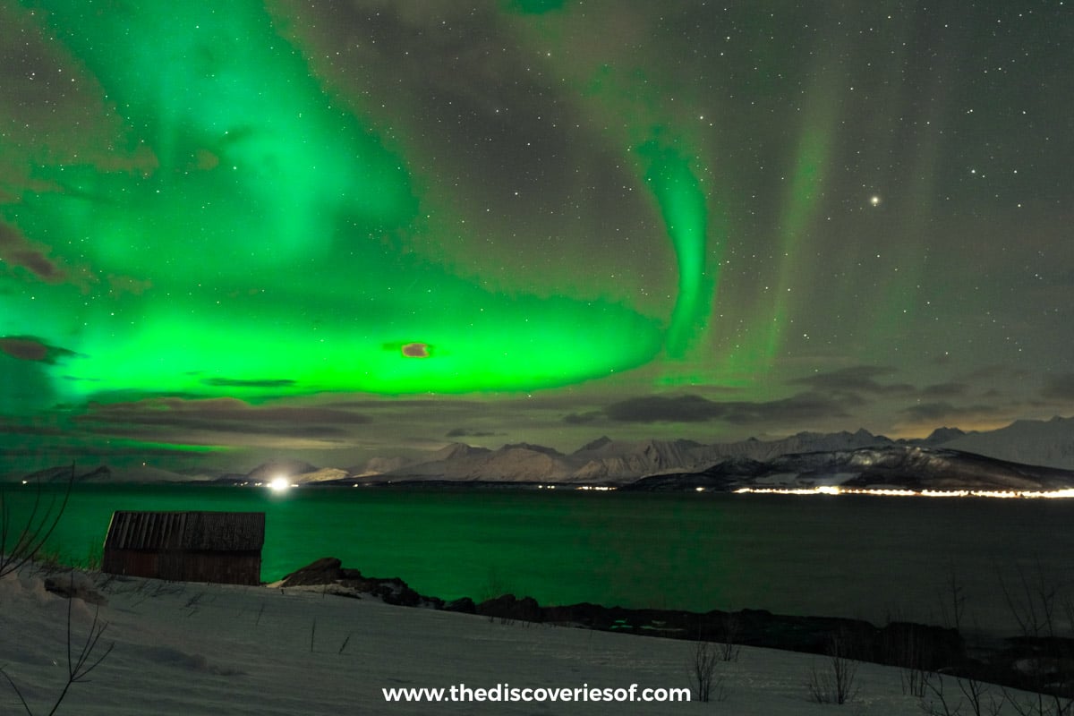
Seeing the Northern Lights was on the first bucket list I ever wrote, when I was nine. So yes, I’m a bit of a geek about it, and I’ve seen the aurora on all three of my aurora trips, in Iceland, Rovaniemi and Tromsø. None of those was luck. Each one came down to reading the forecasts properly, and on my Tromsø trip, to ignoring the gloomy ones and finding a single clear patch of sky.
Here’s the thing most aurora guides skip: the Northern Lights forecast is only half the picture. The other half is the cloud forecast, and that’s the one that decides whether you see anything at all. This guide covers both, from what the Kp index really tells you to the apps I keep on my phone and exactly how I use them.
The short version
If you only download two things, make them these:
- An aurora app to tell you when activity is likely and where the oval is sitting. I use My Aurora Forecast & Alerts, which is free.
- A cloud forecast you can check hour by hour for a specific spot. I use Windy.com Premium, and it’s the single most useful tool I’ve found for chasing the lights.
Then add the local met office or space weather centre for wherever you’re going: the Icelandic Met Office in Iceland, Yr and the Norwegian Centre for Space Weather in Norway, and the Finnish Meteorological Institute in Lapland. Details on all of them below.
If you’d rather watch than read, my video on how to see the Northern Lights covers the basics of planning a trip around them.
What the Kp index is (and how much it matters)
The Kp index is the number you’ll see on every aurora app. It measures geomagnetic activity, the disturbance in the Earth’s magnetic field that drives the Northern Lights, on a scale from 0 to 9.
Strictly speaking, Kp is calculated every three hours by GFZ Potsdam in Germany, using readings from 13 magnetic observatories at sub-auroral latitudes. It’s split into thirds (so you’ll see values like 4+ or 5-), and it isn’t a straight line: each step up represents a much bigger disturbance than the one before. The figure in your app is usually an estimate or a forecast of that number, not the final, official value.
Here’s my super-brief summary of what the numbers mean:
- 0 to 2: the aurora is far north, quite dim and not very active.
- 3 to 5: the aurora moves further from the poles, is brighter, and there’s more motion and more formations. If you’re in the right place, this can look really great.
- 6 to 7: the aurora moves even further from the poles and is quite bright and very active.
- 8 to 9: the aurora moves even further towards the equator and will be very bright and very active. This is when you can sometimes see it even from London.
You’ll also see storms described on the NOAA “G” scale, which maps straight onto Kp. Kp 5 is a G1 (minor) storm, Kp 6 is G2, Kp 7 is G3, Kp 8 (and 9-) is G4, and a full Kp 9 is a G5, the extreme kind that only comes along a handful of times in an 11-year solar cycle.
How much Kp matters depends on where you are
This is the bit people get wrong. Kp tells you how far south the aurora is likely to reach. It doesn’t tell you whether you’ll see it overhead in the Arctic.
If you’re inside the aurora zone (Tromsø, Finnish Lapland, Iceland, Swedish Lapland), you don’t need a big number. A Kp of 2 or 3 under a clear, dark sky can give you a lovely show. Further south, it matters far more. In Shetland, Orkney and along Scotland’s north coast, a Kp of around 4 can be enough for a glow on camera, while Inverness and the Cairngorms generally want 5 or 6. My guide to the Northern Lights in Scotland goes into that in detail.
Kp is also a three-hour, planet-wide average, which means it can smooth over the short bursts of activity (substorms) that give you the best displays. A “low Kp” night can still erupt, and a high one can fizzle.
What the numbers looked like on my trips
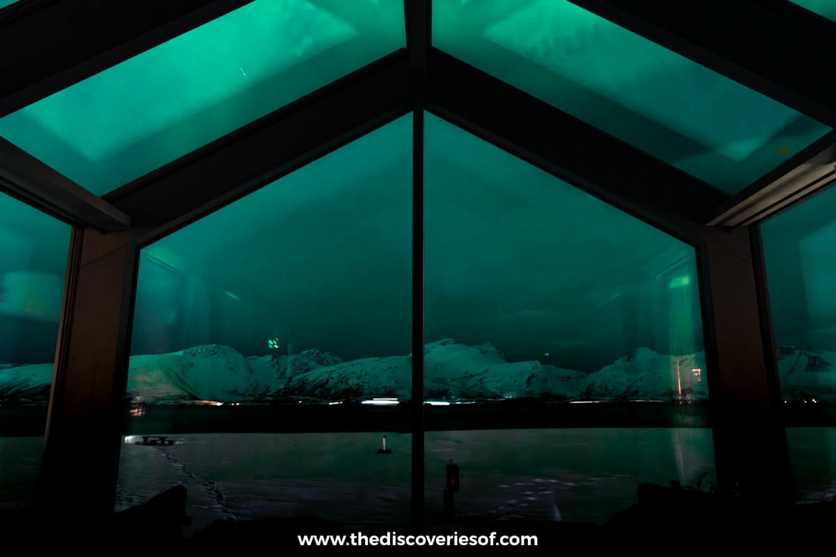
On my first night at ÆRA, just outside Tromsø, there was a point where the Kp index looked high enough. It didn’t matter: the cloud cover was pretty much 100% from 9pm onwards, and I saw nothing.
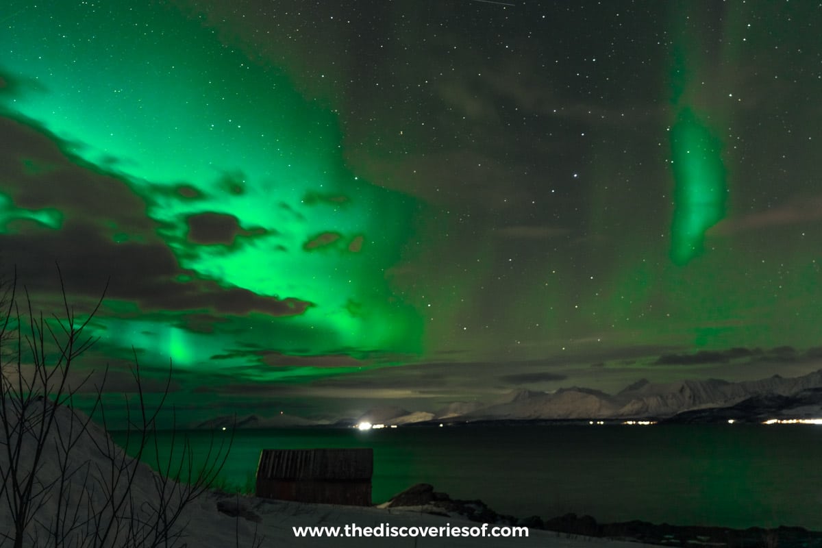
The next night, the forecast gave about an 11% chance. After dinner, I turned off all the lights in the cabin and set up my camera, because I thought I could see a faint glow. There was green in that sky, framed by the glass roof, and when I headed down to the lake I got some really cool shots.
And in Iceland, the night that both my aurora app and the Icelandic Met Office had forecast as the quietest of my stay, the Friday, turned into a geomagnetic storm with a Kp of 8. The whole sky lit up in a full display of greens, pinks and yellows. Forecasts are forecasts, not facts.
Bz, solar wind speed and density: the live numbers
If you open the more detailed apps, you’ll see a dashboard of solar wind data. I’m not an astrophysicist, and you don’t need to be one either, but knowing what three or four of these numbers mean will help you decide when to head out.
These readings come from spacecraft parked at a point called L1, about 1.5 million kilometres towards the sun. They measure the solar wind before it reaches us, which gives a warning of roughly 30 to 90 minutes, depending on how fast it’s travelling. So treat them as a short-range heads-up, not a forecast for tomorrow.
Bz: the one to watch
Bz is the north-south direction of the magnetic field carried by the solar wind, measured in nanoteslas (nT). When it points south (a negative number), it can connect with the Earth’s magnetic field and let energy pour in. When it points north (positive), the door mostly stays shut.
As a rough guide, SpaceWeatherLive says that a Bz holding at -10 nT or lower is a good sign a geomagnetic storm could develop, and the further negative it goes, the better. A Bz that stays south for a while is more promising than one that keeps flicking back and forth. You’ll often see Bt next to it, which is the total strength of the field: above 10 nT is moderately strong, and above 20 nT is strong.
Solar wind speed and density
Under quiet conditions, the solar wind travels at roughly 300 to 500 km/s. A jump to 600 km/s or more often marks the arrival of a fast stream from a coronal hole or the leading edge of a coronal mass ejection (CME). On its own, speed doesn’t make an aurora, but it amplifies everything else: a southward Bz at 700 km/s does far more than the same Bz at 350 km/s.
Density (particles per cubic centimetre) is the least important of the three for a casual chaser. A sudden spike in density and speed together usually means a shock or CME has arrived, which can be a great sign if Bz then swings south.
How I’d use them
Don’t overthink it. If the app’s aurora map is glowing near you, Bz has gone negative and stayed there, and the sky above you is clear, get your boots on. If Bz is firmly positive, the aurora may still appear in the Arctic, but you’re more likely to be waiting.
The best Northern Lights apps
My Aurora Forecast & Alerts (the “Aurora” app)
This is the one I use. My Aurora Forecast & Alerts by JRustonApps (also on Google Play) is free, with ads and no in-app purchases, and it’s easy to understand and navigate.
When you open the app, there’s a summary block showing the Kp index for your location, but that’s not that useful if you’re trying to plan your evening. Instead, look at the aurora map, which is based on NOAA’s OVATION model and shows where the highest probabilities for seeing the lights currently are. Wait until they’re close before you head out, and you’ll save yourself a lot of unnecessary waiting in the cold. The forecast tab shows the viewing probability for your chosen location over the next hour or so, alongside the cloud cover for the night.
It also sends free push alerts when activity is expected to be high, and has solar wind stats, sun imagery and live aurora webcams if you want to dig deeper.
Windy.com Premium (for cloud cover)
The name’s a bit misleading. We don’t really care about the wind. What Windy is excellent for is forecasting cloud cover at a given location, days in advance.
You really need the paid version, Windy Premium, which unlocks 1-hour steps on the maps and in the detailed forecast, with updates at least four times a day. An annual subscription is $18.99 in the US App Store (£22.99 in the UK), and when you think about how much you’re not spending on a tour, that’s not much at all. I’ve got loads of weather apps on my phone, and Windy Premium has been the most reliable for me. More on exactly how I use it below.
Here’s a screen recording I made on my Tromsø trip: scrolling through the forecast, then tapping Tromsø to open the hour-by-hour forecast, with the low, medium and high cloud layers laid out underneath.
SpaceWeatherLive
If you get properly hooked on the solar wind numbers, SpaceWeatherLive is the app for it. It’s free (an optional subscription removes the ads), with live Kp, solar wind and aurora forecasts, graphs of current and past data, and push alerts for solar flares, geomagnetic storms and Earth-facing coronal holes that you can switch on and off individually.
Hello Aurora
Hello Aurora is built around real sightings. Users share photos of the aurora as it happens, and the app alerts you when people near you spot it or when a substorm begins. You can also check total and low cloud cover on its map. The core app is free, and the paid Pro tier adds custom alert filters, including distance, intensity and Bz thresholds.
Glendale App
The Glendale App grew out of an aurora-alert page run from the Isle of Skye, and now covers the UK, Iceland, Scandinavia and North America. It isn’t in the app stores: you install it as a web app from your browser (or get its alerts on Telegram), and it’s free. It leans heavily on real-time magnetometer data from observatories including Tromsø and the Finnish Meteorological Institute, so it’s good at telling you what’s actually happening rather than what might.
Yr (Norway)
Yr, the Norwegian weather app from the Norwegian Meteorological Institute and NRK, has an aurora forecast on its “Nearby” tab. It rates activity where you are on a five-step scale, from no activity to very high, up to three days ahead, and can send you a push notification when the short-term nowcast goes above 30%. The aurora index doesn’t include cloud, but Yr’s hourly forecast shows cloud cover right alongside, which makes it a handy second opinion in Norway.
You might also come across Visit Norway’s Norway Lights app. It’s free and gives three-day forecasts for Norwegian towns, but it has been updated only sporadically, so I’d lean on Yr instead.
The best Northern Lights forecast websites
NOAA’s 30-minute aurora forecast
The US Space Weather Prediction Center’s 30-minute aurora forecast is the model behind many of the apps. It uses the solar wind speed and magnetic field measured at L1 to show the auroral oval as a green band (turning red where it’s forecast to be more intense), roughly 30 to 90 minutes ahead. If the oval is sitting over you or just to your north, you’re in business. NOAA’s 3-day forecast gives the bigger picture for planning the next few nights.
Icelandic Met Office (Veðurstofa Íslands)
In Iceland, the Met Office’s aurora forecast is excellent, because it puts the aurora and the cloud on one page. A 0 to 9 activity figure sits in the corner, and the map of Iceland shows forecast cloud cover (cloudy areas in green, clear areas in white), with separate layers for low, middle and high cloud and a slider to step through the coming days. It’s the forecast I used alongside my app on my Iceland trip.
Norwegian Centre for Space Weather (Tromsø)
Run from the Tromsø Geophysical Observatory, the Norwegian Centre for Space Weather publishes aurora nowcasts and 1-hour and 4-hour forecasts for Tromsø, Svalbard and other places, plus a Kp forecast. It also links to an all-sky camera at Skibotn, near the Lyngen Alps, which updates every two minutes during the night (the times are in UT, so add an hour in winter). If it shows green, it’s worth heading out.
Finnish Meteorological Institute
In Finnish Lapland, the FMI’s auroras and space weather page shows real-time magnetic activity at observatories across Finland, including Sodankylä. Yellow means auroras are possible but usually dim; red means it’s very likely you’ll see them. It’s a nowcast rather than a forecast, so it’s best used once you’re already in place. (FMI’s old email aurora alerts have been discontinued, so ignore any advice to sign up for them.)
In the UK
If you’re hoping to catch the lights at home, AuroraWatch UK, run by Lancaster University, is the one to sign up to, alongside the Met Office’s space weather forecast.
Cloud cover: the forecast that really matters
If you’ve planned your trip right, you’re not really chasing the Northern Lights. You’re chasing clear skies.
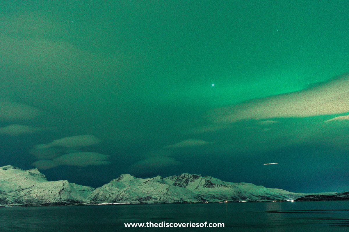
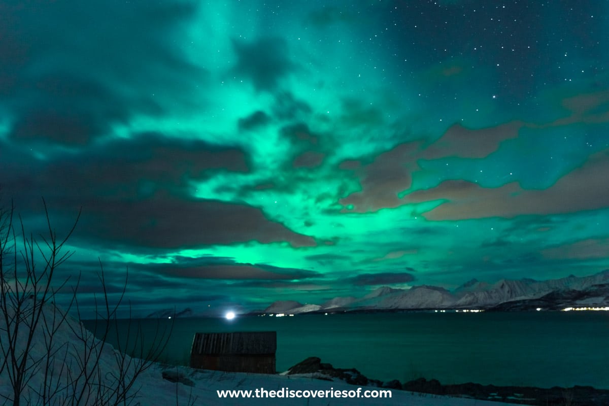
The aurora happens high above the Earth, and clouds are much lower down, so a blanket of cloud acts like a curtain. Even the most spectacular display can be totally hidden behind it. In winter in the Arctic, the aurora is very often there; the question is whether you can see it.
Not all cloud is equal. Thin, high cloud can let a strong aurora shine through, while thick, low cloud blocks it completely. That’s why it’s worth looking at the separate cloud layers (low, middle and high) on Windy or the Icelandic Met Office map, rather than just the total.
Geography is your friend here. Around Tromsø, the weather can be completely different from one fjord to the next, and with mountains, islands and inland valleys all within an hour’s drive, there’s usually somewhere the cloud has broken. The tour guides know this, which is why some drive all the way to Finland to find a gap.
My method: how I found a clear sky at Oldervik
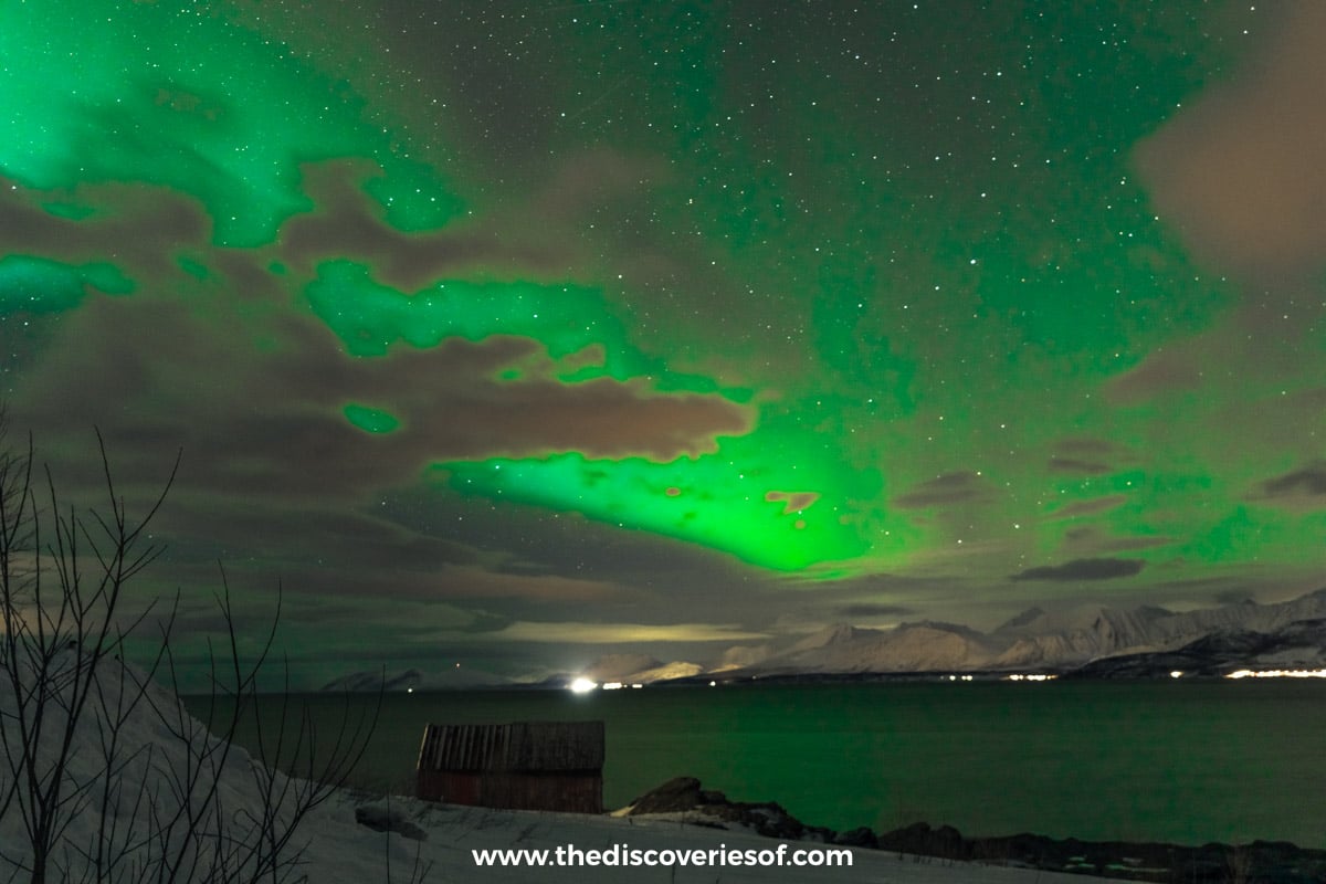
This was the proudest aurora hunt of my life, because the conditions were so far from perfect that it took a lot of guile and planning to make it happen.
It had been crazily cloudy for days, and I’d already had one washed-out night and one faint one at ÆRA. So when I moved into central Tromsø, I added an extra night to my stay and spent most of the day on my apps, working out where the clouds would be at what time and mapping that against spots I’d read were good for Northern Lights viewing.
Here’s how to do it on Windy Premium:
- Switch to the cloud layer. Start with total cloud, then check the low cloud layer, which is the one most likely to hide the aurora.
- Drop a pin on each viewing spot. Around Tromsø, good candidates include Oldervik, Ersfjordbotn, Grøtfjord, Sommarøy and the lake at Skittenelv. Each pin gives you an hour-by-hour cloud forecast for that exact spot.
- Move the pin and compare. Look for the place, and the hours, where the cloud drops away.
- Cross-check with the aurora forecast. Your aurora app and the Bz will tell you if there’s anything worth seeing once you’re there.
- Go, and keep checking. Cloud forecasts shift, so look again before you leave and whenever you stop.
For me, it all pointed to Oldervik, about 50 minutes north-east of Tromsø on the Ullsfjord side, with wide views north over the water. It wasn’t too cloudy there when the rest of the region was covered (and I mean covered) in a thick blanket of cloud.
It absolutely delivered. I could see the lights as I was driving. It was cloudy en route, but when I got to Oldervik, it was completely clear. I watched dancing aurora displays for two hours and ran timelapses. That one night made it worth booking the extra one. Put your faith in Windy, people. Amen.
You can read the full night-by-night story, and where else to watch, in my guide to chasing the Northern Lights in Tromsø.
And here’s the vlog from that trip, chasing the Northern Lights around Tromsø.
How to read a forecast without getting your hopes up (or giving up)
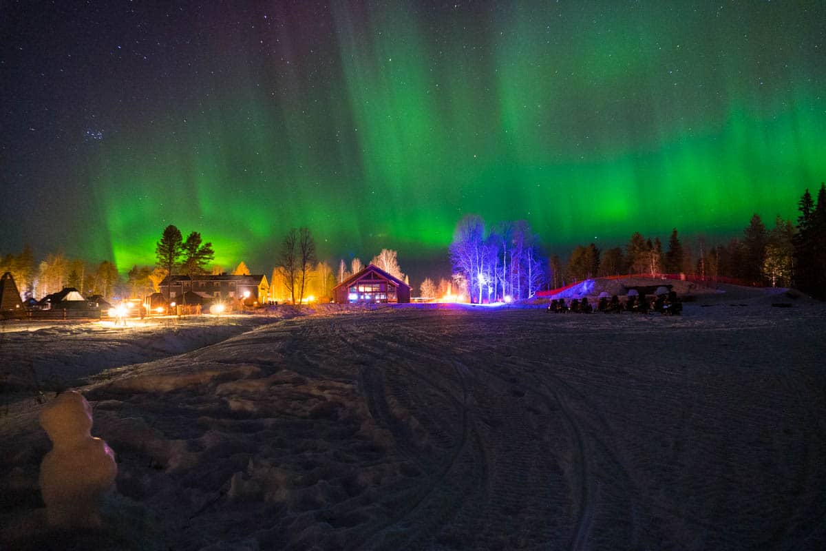
Treat every Northern Lights forecast as a probability, not a promise. My best aurora in Iceland came on the night forecast to be the weakest, and I saw them at ÆRA on an 11% night. Equally, plenty of people get a high Kp and a sky full of cloud.
Check every evening, not just before you book. You can play with these apps before your trip, but realistically you need to check them each evening before you head out, so you’re working with the most accurate information.
Know the busiest hours. The aurora is most likely to show in the darkest part of the night, roughly 11pm to 2am, though you can be lucky earlier. Check moonrise and moonset times too: anything brighter than a first-quarter moon will wash the sky out to some degree.
Time your trip for the equinoxes. Geomagnetic storms are more common around the equinoxes in late September and March. I timed my Iceland trip for the autumn equinox and my Rovaniemi trip for the spring equinox, and saw big storms on both. The solar cycle peaked in October 2024, and the years after a peak can still bring powerful storms.
Let someone else watch for you. Some aurora hotels do the forecasting for you. ÆRA sends aurora alerts on WhatsApp (until midnight), and Hotel Rangá in Iceland will give you a wake-up call if the lights come out. Apukka Resort near Rovaniemi, where I stayed in a glass-topped suite, puts you right under the sky.
Give yourself as many nights as you can. The Northern Lights either appear or they don’t, and even when the numbers look perfect, they might still decide to miss the party. Hunt every night of your trip, and fill your days with other things so the trip is brilliant either way.
Quick answers
What Kp do I need to see the Northern Lights?
Inside the aurora zone (northern Norway, Finnish and Swedish Lapland, Iceland), a Kp of 2 or 3 is often enough on a clear, dark night. In northern Scotland you generally need 4 to 6, Edinburgh and Glasgow usually take 6 or 7, and further south in the UK you need a big storm.
What does a negative Bz mean?
It means the magnetic field in the solar wind is pointing south, which lets more energy into the Earth’s magnetic field and makes aurora more likely. A Bz that stays at around -10 nT or lower is a good sign.
Is a paid app worth it?
For the aurora itself, the free apps are excellent. The one I’d pay for is a cloud forecast with hourly detail, which is why I use Windy Premium.
How far ahead can you forecast the Northern Lights?
Reliably, only a short way. The solar wind data gives you 30 to 90 minutes’ warning, Kp forecasts are reasonable for a day or so, and the three-day outlooks are a rough guide. Anything longer is an educated guess, so plan your trip around the season and the number of nights, not a long-range forecast.
Read next
- How to see the Northern Lights
- When is the best time to see the Northern Lights?
- How to chase the Northern Lights in Tromsø
- Northern Lights in Norway
- Best time to see the Northern Lights in Iceland
- Best places to see the Northern Lights in Finland
- ÆRA Tromsø hotel review
- Visiting Tromsø in winter
Love This? Save and Share on Pinterest
Discover the top things to do, insider tips and hidden gems in our Tips & Thoughts.
Read the guides →