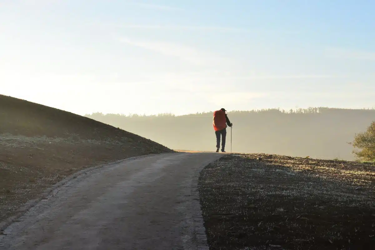
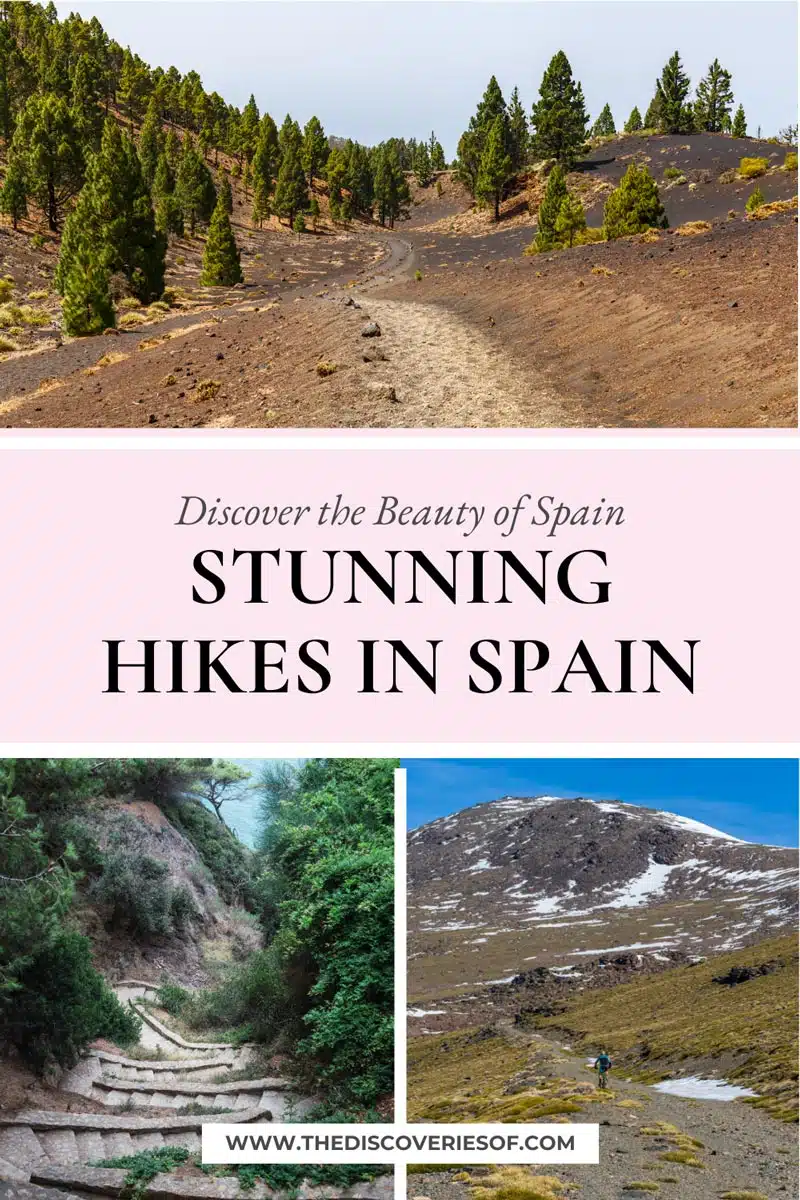
Get ready to tackle one of the most beautiful countries on foot with this guide to the best hikes in Spain. From Menorca to Costa Brava, these are the picturesque trails you need to know about.
Most of you will already know that I’m a pretty big fan of Spain – and that’s putting it lightly. It boasts some pretty spectacular sites and cities… But did you know that Spain also happens to be home to some of the most diverse terrains in the world?
I’m not kidding. The Spanish landscape ranges from rugged mountains to vast coastal stretches, with plenty of cobbled cityscapes thrown in, too. It makes sense then that the best way to explore would be on foot, right?
Right. So my fellow trail-lovers, are you ready to put together the perfect itinerary and explore some of the most beautiful hikes in Spain? Let’s get started.
PS: I’ve kicked off with the country’s most epic day hikes, but there’s also a section on stunning multi-day hikes in the second half of the guide.
Best Hikes in Spain
Caminito del Rey
Length: 3-5 Miles
Time: 2 hours
Difficulty: Medium
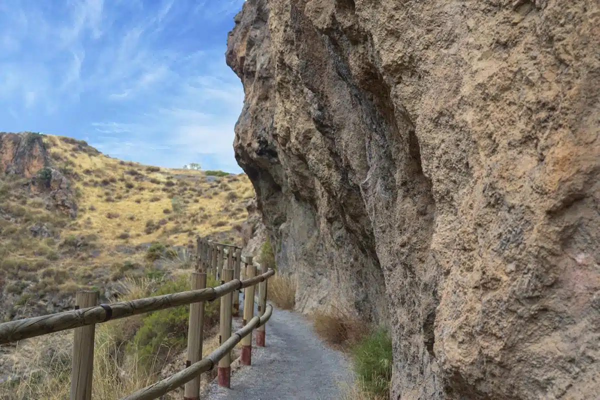
Also known as the “King’s Road”, the Caminito del Rey route is not for those with a fear of heights. Found in the charming province of Málaga, this trail follows a wall in a narrow gorge in El Chorro, near Ardales.
You’ll be glad to hear that the trail is not necessarily difficult (unless you’re afraid of heights). And, while the Gaitanes gorge itself is beautiful, the real attraction is viewing the cascading river 100 metres below the metre wide path.
You should know that this is a linear trail stretching from north to south, so plan your transport well ahead of time. You also need to make a booking for a time slot for your hike, but the trail is open all year round so I wouldn’t worry too much about competing with crowds.
Camí de Sant Jaume – Sant Pere de Rodes
Length: 5 miles
Time: 2 hours
Difficulty: Easy
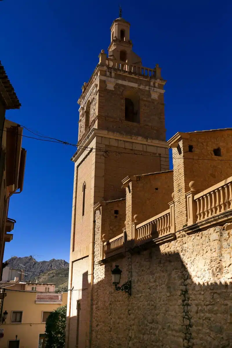
Let’s begin with a laidback stroll between Camí de Sant Jaume and Sant Pere de Rodes.
The name of this route translates to “The Way of Saint James”, but don’t confuse it with the more popular pilgrim’s route. For this circular route, you’ll need to head out to the El Port de la Selva municipality in Girona.
The allure of this route lies in its summit, the Benedictine Monastery of Sant Pere de Rodes. The final stretch to the summit is the hardest part about this trail, but even the greenest of hikers shouldn’t have too much trouble.
On the way, you can expect to see plenty of luscious greenery. Additionally, the monastery sits at 500 metres above sea level – and the summit’s perch over the Cap de Creus peninsula gives you incredible views of the Mediterranean sea and the Pyrnees mountains.
Monistrol de Montserrat
Length: 3 miles
Time: 1.5-2 hours
Difficulty: Easy
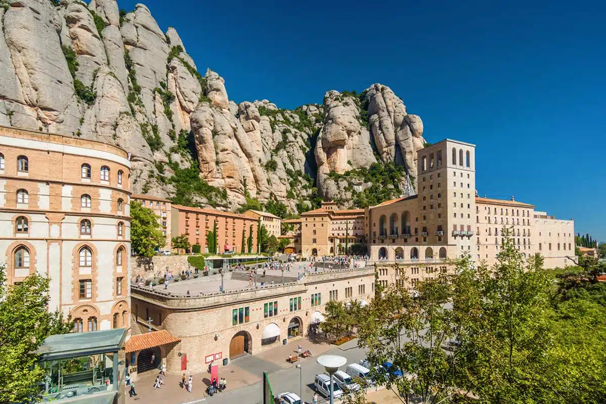
Another epic Spanish walking trail to a monastery is the Monistrol de Montserrat route. In Catalonia, just 34 miles outside of Barcelona, this trail will take you up the Montserrat Mountain to the Santa Maria de Montserrat abbey.
The climb has some spectacular views of the valley’s various fauna and flora. At the summit, the abbey’s incredible architecture is both stunning and well-preserved. There’s also a fascinating cave to visit nearby, which I highly recommend dipping into (if not only for some shelter from the sun!)
Since it’s a great way to spend the day outside city limits, pack a picnic so you can dine with a view unlike any other. Catching the sunset from the summit will definitely be the highlight of the trek, I promise.
Peñalara
Length: 8.7 miles
Time: 3-4 hours
Difficulty: Easy to Medium
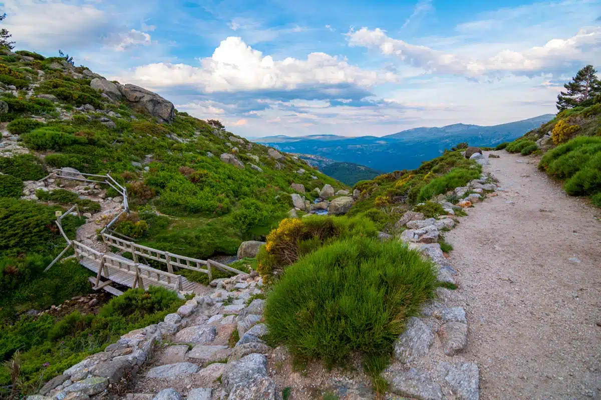
The out-and-back Peñalara trail is definitely one of my favourites, and it’s just outside of Madrid in the Sierra de Guadarrama National Park. This means that it’s super accessible and definitely one of the best places to hike in Spain.
This particular route leads up to the Peñalara Peak, the highest summit in the region (2,428 m).The trail will treat you to some incredible views of glacial formations and lagoons, both to and from the summit.
Don’t expect to be alone, though; the path is a mountaineering favourite, and it has some of the best glacial ruins in the region. While manageable for most, the trail is moderately challenging as long as the weather conditions aren’t too hot or too frosty.
Masca Gorge Trail, Tenerife
Length: 6 miles
Time: 7 hours (3 for the ascent and 4 for the descent)
Difficulty: Hard
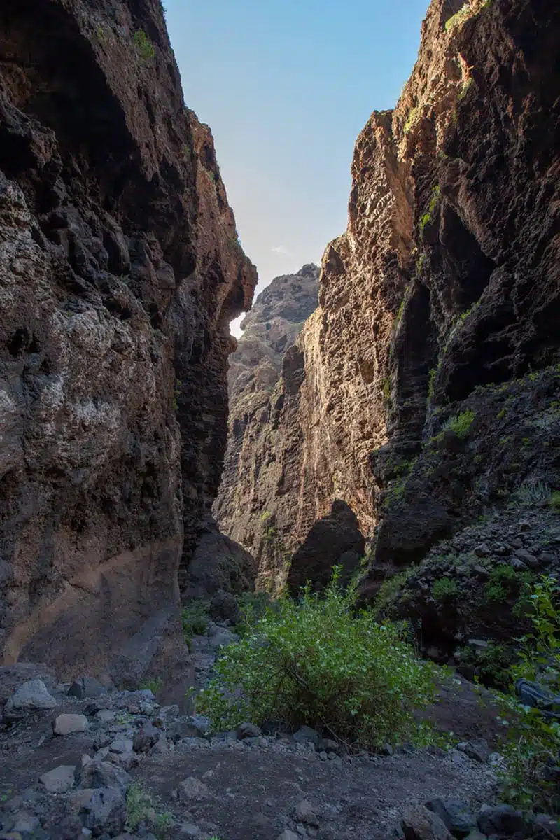
For this next Spain hike, I’m taking you from the mainland to the famed Canary Islands. This specific route – the Masca Gorge Trail – is in Tenerife’s Teno Rural Park and takes you through a stunning ravine that is pretty challenging to conquer.
This route is best explored with a guide, so that you can learn all about the various plant and animal life that populate the ravine. The trail ends at the Masca Beach, so you can take some time to cool off (quite literally) before heading back.
Unlike most hikes in Spain, this particular route is only open to the public on weekends and holidays. You should know that tickets are a strict requirement, and hikers are only admitted onto the trail at thirty minute intervals.
Top Tip: The trail opens at 8 am and closes at 6 pm, so the latest you can start the hike is at 2 pm.
Los Cahorros Monachil
Length: 5 miles
Time: 4 hours
Difficulty: Medium
This hiking trail in Spain is easily one of the more enjoyable routes. Found in the pretty village of Monachil just outside of Granada city, I definitely consider the Los Cahorros Monachil route to be one of the best things to do in Granada.
Complete with stunning waterfalls and swimming holes, rock tunnels and crawl spaces along cliffs and the longest hanging bridge in Spain (measuring at 63 m long), this hike is perfect for a more relaxed hiking experience.
Just make sure that it’s not too hot – or hasn’t rained recently in the area – as this can make the hike a little challenging.
Caldera Blanca, Lanzarote
Length: 6 miles
Time: 3.5 hours
Difficulty: Easy
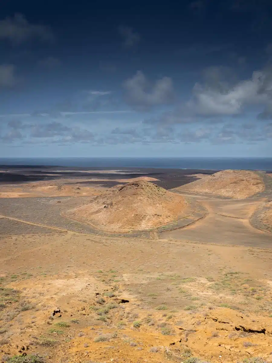
Another Canary Islands trail, this one is in the heart of the island of Lanzarote just outside the Timanfaya National Park. This Caldera Blanca loop trail will take you over volcanic badlands to see the largest volcanic crater in the entire Canary Islands, measuring at 1200m wide!
The trail begins at the Our Lady of Sorrows Church a short distance away from the village of Mancha Blanca. The route is special because where else can you walk among lava rocks?
Stumped for an answer? Exactly…
There are also numerous signs along the way that tell you more about the island’s history and terrain.
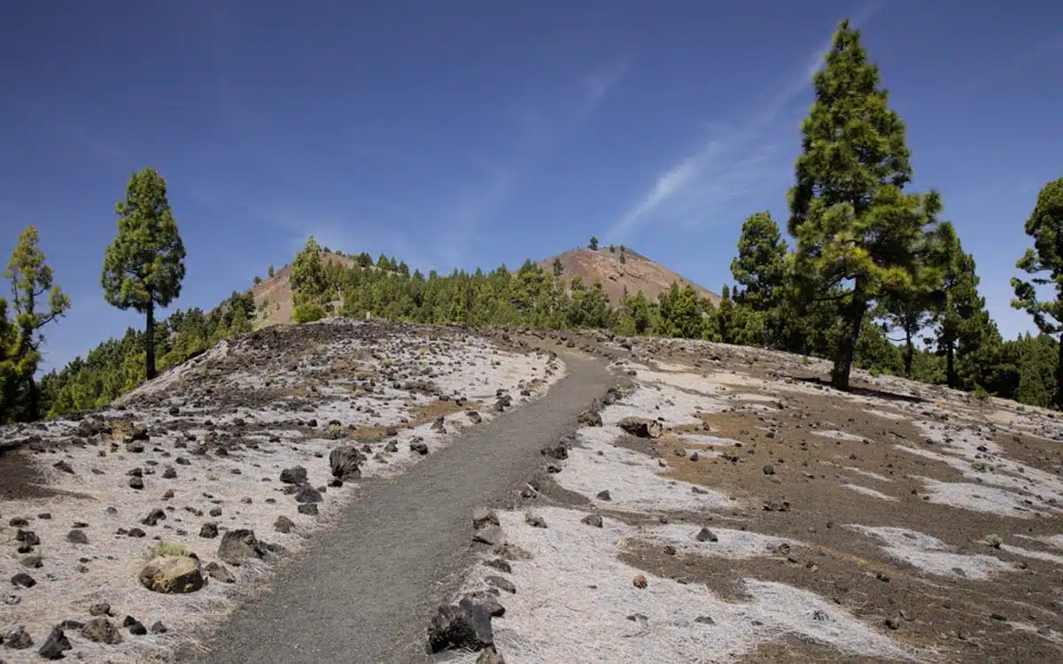
Montaña Blanca, Tenerife
Length: 5.7 miles
Time: 3-3.5 hours
Difficulty: Hard
You’re not short of stunning trails in Tenerife, but the Montaña Blanca route is definitely among the most popular of the Spain trails. To find the trailhead, you’ll need to visit the Teide National Park, home of the Teide volcano which is the highest summit in all of Spain.
This route to the White Mountain is fairly challenging but entirely worth it for the views. It’s also really enjoyable to try and spot the brown or darkened spots on the mountain’s rocks – these are the rocks that exploded into the atmosphere from the eruption.
As with most of the routes in this park, you will need to secure a free permit well before the time for access. The park’s staff need to verify both your pass and ID documents upon entry to the park.
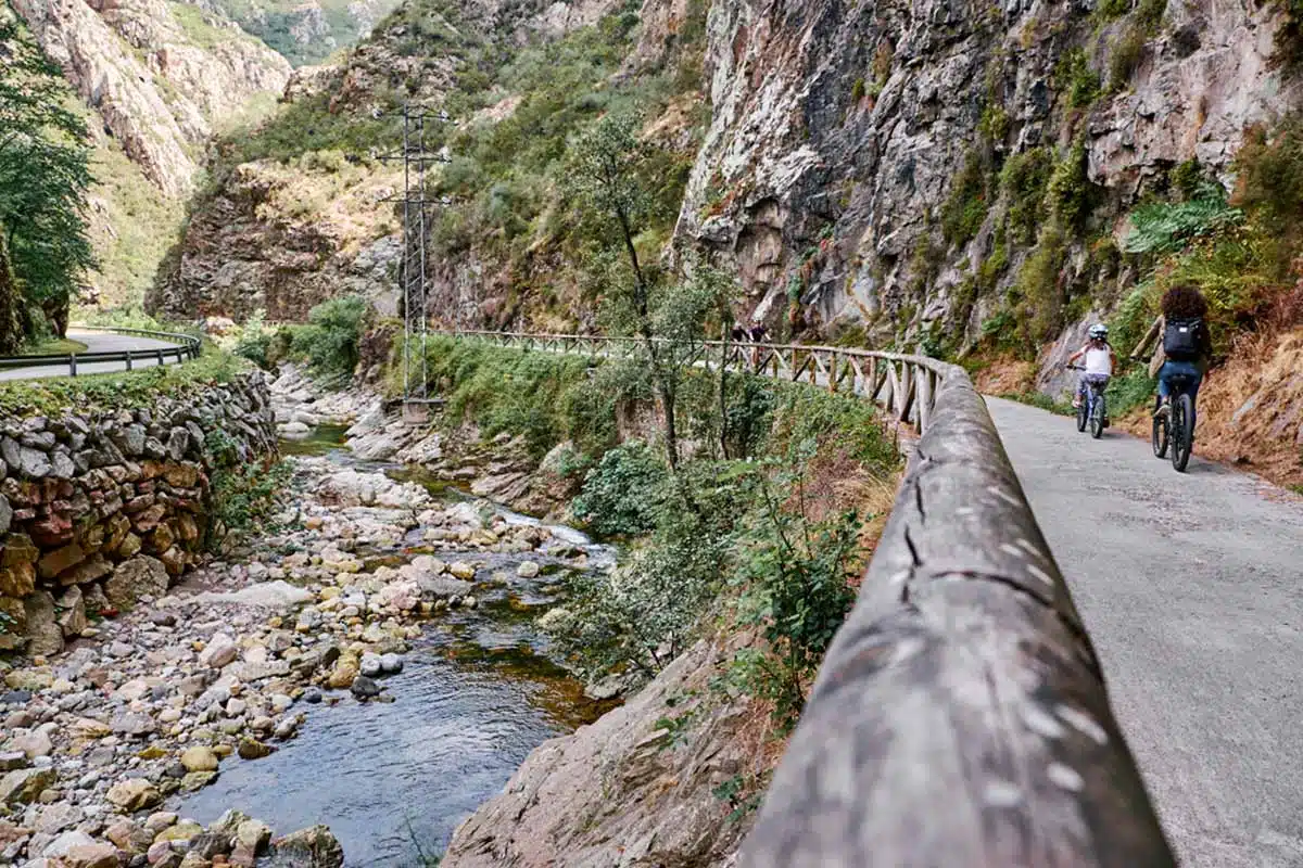
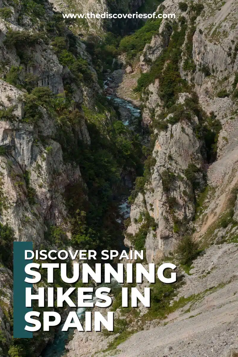
Cares Gorge
Length: 15 miles
Time: 11 hours
Difficulty: Easy
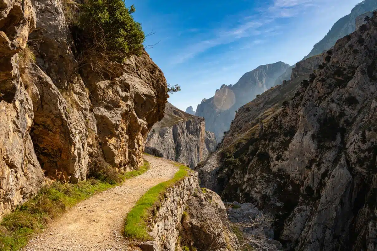
Cares Gorge is more commonly known as the “Divine Gorge”, and it’s not hard to figure out why. Of all the walks in Spain, this is definitely among the most renowned in the Picos de Europa.
The trail stretches through the Cares Canyon along the river, from Asterius to Leon. The views of the river and greenery alone are breathtaking, and you’ll also get to see some ruins and mountain goats.
This is a long trek, but it’s easy. That said, bring some snacks for refuelling – the halfway point at Cains is a great spot for a picnic too, as long as you pick the right conditions.
The Mulhacén
Length: 12.6 miles
Time: 9-11 hours
Difficulty: Medium
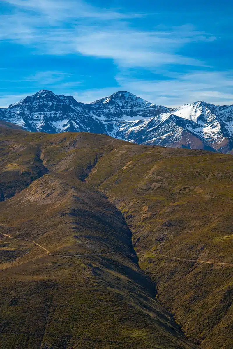
Okay, now I’ve gotten a few of the easier hikes out of the way, it’s time to pull out some big, bad treks. Mulhacén being a case in point.
This peak is part of the Sierra Nevada mountain range and is the tallest summit in the Iberian peninsula. The trailhead starts at the 2,900 m elevation mark near the Capileira village, though there are a few steep climbs to challenge you before you reach the summit.
The terrain itself is quite barren, but the panoramic view from the summit is incredible. This is definitely one of the best day hikes in Spain, but there’s also an option to extend it into a multi-day trek.
Pico Sobracal
Length: 8.5 miles
Time: 7 hours
Difficulty: Hard
The Pico Sobracal trail is one to get excited about – this is definitely a trek for the more experienced hiker as there will be a fair amount of climbing towards the summit.
You’ll find this route in northern Aragon in the Huesca province. The trail leads up the side of the Pyrenees mountain to the Pico Sobracal summit at 2,259 m.
Once up there, the view will steal away whatever breath you have left. Any mountain peak can come with stunning sights, but few allow you to see into France from Spain. You can complete this hike in a day, but don’t get too cocky and assume you can easily conquer the rockier parts.
Beas de Granada
Length: 9.8 miles
Time: 4-5 hours
Difficulty: Medium
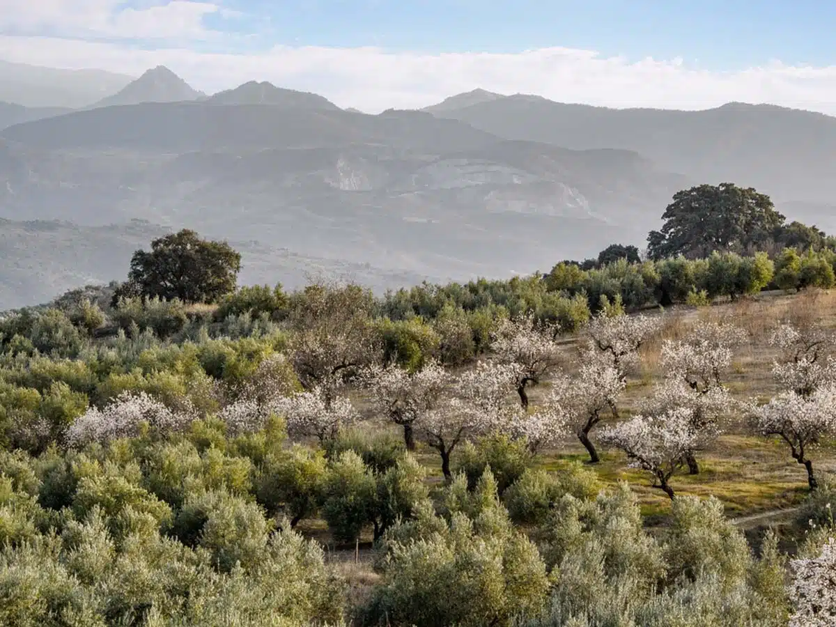
Again, don’t confuse this trail with the town Beas de Granada, although the trail is nearby. This point-to-point Beas de Granada route is perfect not only for hikers, but is also great for mountain bikers and cyclists.
The trail takes you between the Sierra Nevada peaks which separate Beas from Grenada, and the views are especially stunning in the winter when the peaks are snow-capped.
A word of warning: you’ll need to bring a lot of water and provisions, even if you aren’t doing the 19 mile round trip.
Ruta de los Volcanes, La Palma
Length: 10.9 miles
Time: 6.5 hours
Difficulty: Hard
If you’re looking to brave a famous walk in Spain, this route in La Palma is exactly what you’re looking for. I mean, what’s better than walking through such an impressive landscape of volcanic lakes, stunning rock formations and even active lava flow?
The route starts at Refugio de El Pilar, but is not a circular route so you will need to organise taxi transport for the way back. I’d also recommend hiking with a guide and to check the weather forecast so you’re not taken off guard by the heat, or even the wind.
Multi-Day Hikes in Spain
La Senda del Oso
Length: 14.1 miles
Time: 1-2 days
Difficulty: Easy
Looking for an easier multi-day hike in Spain? Then head out to the region of Asturias for La Senda del Oso.
This extensive trail sits between Tuñón and Cueva Huerta and was originally an old railway line, but is now a hiking and cycling trail.
On the way you will find unparalleled views of lush vegetation and intriguing tunnels. You might also stumble upon a sighting of the Cantabrian brown bear as the trail swings past the Cercado de los Osos where they roam.
Camino del Ronda
Length: 263.3 miles
Time: 8-10 days
Difficulty: Hard
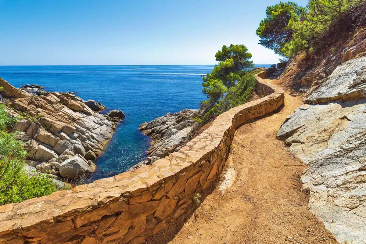
This is no average Spanish walking trail. It stretches along an ancient seaside path in Costa Brava. Also known as the GR92 trail, Camino de Ronda begins at the Spanish-French border in Portbou and ends all the way in Ulldecona.
The trail has 20 stages that you can complete at your own pace, and each stage has its own treat. The numerous fishing villages, hidden coves and gorgeous beaches are enough of a reason to trek the entire stretch.
Just remember your bathing suit!
Top Tip: Don’t feel like you need to hike the entire route. My favourite section stretches from Begur to Calella de Palafrugell .
Cami de Cavalls, Menorca
Length: 115 miles
Time: 1 week
Difficulty: Easy
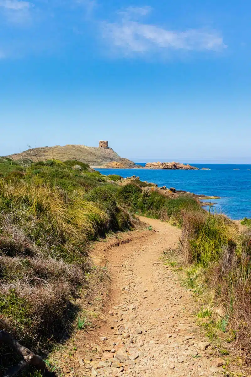
On the island of Menorca, this military path turned hiker’s trail is definitely bucket-list worthy. The Cami de Cavalls trail rounds the entire island, and is as much a journey through nature as it is through history and offers some of the best hiking in Spain.
This route will take you through a terrain almost as diverse as the mainland, taking you past multiple ecosystems, numerous coves and beaches, cliff tops and even some desert land.
With 13 different stages, and many different ways to see the terrain like cycling or horseback riding, you might want to consider checking out some of the best hotels in Menorca so you have somewhere to collapse in between sightseeing.
Camino de Santiago
Length: 520 miles in total
Time: 1 month
Difficulty: Medium
Calling all seasoned hikers – are you ready to meet the final boss? I’m not kidding, the Camino de Santiago trail is an ancient pilgrim path more commonly known as the “Way of Saint James.”
Stretching all the way through Basque region of Northern Spain, it’s arguably the best of all the multi-day hikes in Europe.
With many different starting points, the shortest route being 46 miles, you’ll be able to see a fair chunk of Spain’s diverse terrain and charming villages. You’ll also get a little taste of history at the route’s endpoint, the Santiago de Compostela Cathedral – or resting place of Saint James.
Spain Hiking: Practical Tips
- Spain’s trails are as diverse as they come. Most, if not all, will be nightmarish if you don’t have the right shoes for the occasion. I’d recommend bringing these hiking boots (or sturdy trainers like these) for surefire protection and grip on even the rockiest of trails.
- It goes without saying that Spain gets hot in the summer. But you should always bring a water bottle and good sun protection. But, it can also be pretty windy, especially when you’re higher up – that’s where a jacket like this outer shell option comes in clutch.
Best Hikes in Spain: Read Next
Love this? Save and share on Pinterest!
Discover the top things to do, insider tips and hidden gems in our Spain Travel Guide.
Read the guides →