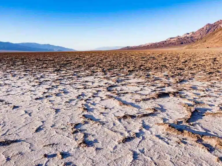


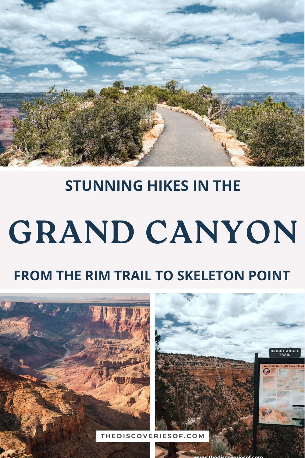
From the Rim Trail, my favourite walk at the Grand Canyon, to the classic corridor trails that drop below the rim, these are the best hikes in Grand Canyon National Park, with distances, difficulty and the safety advice you need.
Covering more than 1,900 square miles, Grand Canyon National Park has hikes for every level, from flat strolls along the rim to multi-day treks to the Colorado River. The catch is that most trails go down first, so the hard part comes at the end, in the heat, at altitude.
I spent three days on the South Rim in early summer, and walking the Rim Trail was the highlight of the whole trip. This guide starts with that, then covers the best hikes below the rim and on the North Rim, with current trail conditions (several sections have closed for repairs since 2025) and the practical tips that make the difference.
The best hikes in Grand Canyon National Park
Rim Trail
Length: about 13 miles (point to point; walk any section)
Time: 1 hour to a full day
Difficulty: easy to moderate
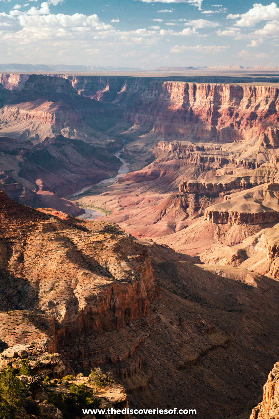
The Rim Trail is by far my favourite hike at the Grand Canyon. I’ll admit I pooh-poohed it at first because it sounded too easy, but I’m so glad I did it: it’s easy to follow, there’s just enough change in height and terrain to keep it interesting, and the views are incredible the whole way.
It runs along the South Rim from the South Kaibab trailhead in the east, through Grand Canyon Village, to Hermits Rest in the west. Most of it is paved and fairly level, but between Powell Point and Monument Creek Vista it turns into a narrow dirt path very close to the edge. Take the shuttle for that section if you’re not comfortable with heights.
Shuttle stops line most of the route, so you can walk any section and ride back.
Top tip: Pack a lunch, as there’s nowhere to buy food along most of the trail. Bring salty snacks and a big water bottle; there are refill taps along the way, but they’re spread out. The rim is around 7,000 ft up, and I felt the altitude more than I expected.
South Kaibab Trail to Ooh Aah Point, Cedar Ridge or Skeleton Point
Length: 1.8 miles (Ooh Aah Point), 3 miles (Cedar Ridge) or 6 miles (Skeleton Point) return
Time: 1 to 6 hours
Difficulty: moderate to strenuous

The South Kaibab Trail follows a ridge rather than a side canyon, which gives it some of the best views of any trail below the rim. It’s steep, exposed and has no water, so it’s best early in the day.
Ooh Aah Point, 0.9 miles down, is the perfect short taster. Cedar Ridge, 1.5 miles down, has toilets and is a good turnaround for most day hikers. Skeleton Point, 3 miles down and around 2,000 ft below the rim, gives you your first view of the Colorado River, but the climb back is tough: the park advises not going further as a day hike.
The trailhead is near Yaki Point, which is closed to private cars, so take the orange shuttle.
Bright Angel Trail
Length: 3 miles (1.5 Mile Resthouse), 6 miles (3 Mile Resthouse) or 9 miles (Havasupai Gardens) return
Time: 2 hours to a full day
Difficulty: moderate to strenuous
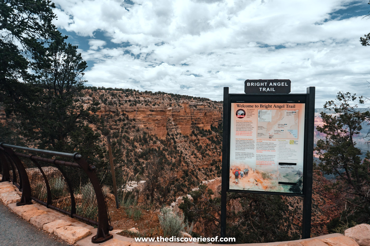
Starting right in Grand Canyon Village, the Bright Angel Trail is the most popular trail into the canyon. It follows a natural break in the cliffs down a side canyon, with more shade than the South Kaibab and seasonal water at the resthouses.
The 1.5 Mile Resthouse and 3 Mile Resthouse are the classic turnaround points. Havasupai Gardens (called Indian Garden until 2022), 4.5 miles down, is a shady oasis of cottonwoods, but the return is more than 3,000 ft of climbing (allow six to nine hours for the round trip) and should only be attempted by fit, well-prepared hikers who start at dawn.
Top tip: After a flash flood damaged the park’s water pipeline at the end of August 2026, the water at the resthouses and Havasupai Gardens was turned off and sections of the trail closed for repairs. Check the National Park Service’s trail alerts before you set off.
Shoshone Point
Length: about 2 miles return
Time: 45 minutes to an hour
Difficulty: easy
Shoshone Point is one of the South Rim’s quieter viewpoints. A flat dirt road leads about a mile through ponderosa pines from an unsigned car park on Desert View Drive (between Yaki Point and Grandview Point) to a rocky promontory with sweeping views.
From mid-May to mid-October, it can be booked for private events, so it’s occasionally closed to the public.
Kolb Studio and the Trail of Time
Length: about 2.8 miles one way, from Yavapai Point to the village
Time: 1 to 2 hours
Difficulty: easy

This paved section of the Rim Trail is a walk through time. From the Yavapai Geology Museum, the Trail of Time runs west towards the village with markers showing the age of the rocks beneath your feet (each metre represents a million years). It ends at the historic district, where Kolb Studio, built by the photographer brothers Emery and Ellsworth Kolb from 1904, hosts exhibitions right on the rim.
Grandview Trail
Length: 6 miles return to Horseshoe Mesa
Time: 4 to 6 hours
Difficulty: strenuous

Built by miners heading to Horseshoe Mesa in the 1890s, the Grandview Trail is unmaintained, steep and rough, with sections of old cobblestone and cliff-hugging switchbacks. It’s for experienced hikers only, but rewards them with solitude and history.
Hermit Trail
Length: about 5 miles return to Santa Maria Spring
Time: 4 to 6 hours
Difficulty: strenuous
The unmaintained Hermit Trail starts near Hermits Rest at the end of Hermit Road, so you’ll need the shuttle from March to November. Santa Maria Spring is the usual day-hike turnaround; along the way, look for fossilised reptile tracks in the Coconino Sandstone.
Havasu Falls
Length: about 10 miles one way to the campground
Time: overnight (permits are for multi-night stays)
Difficulty: strenuous
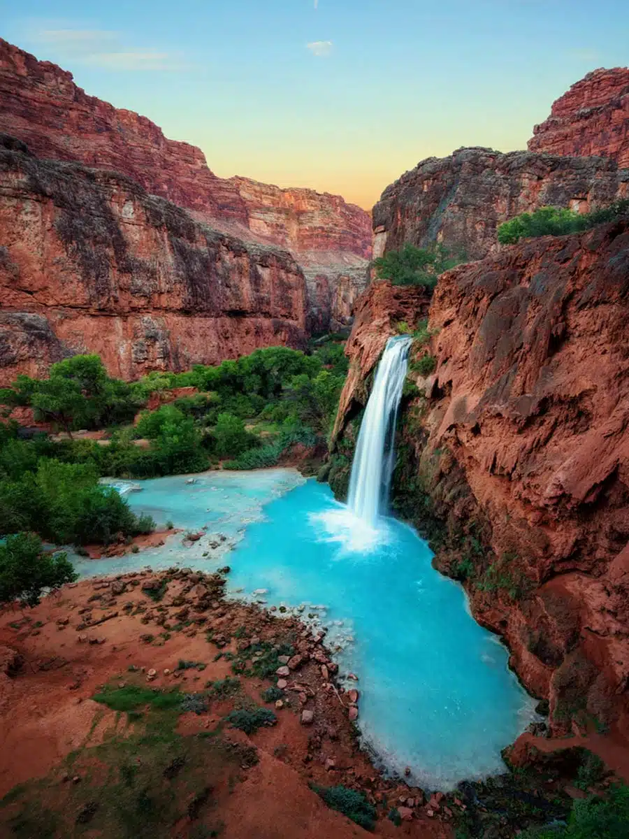
Havasu Falls is on the Havasupai Reservation, not in the national park, and you can only visit with a reservation booked through the Havasupai Tribe: permits are for three nights, bundled with a campsite or a room at the lodge in Supai, and the season runs from February to November. Day hiking isn’t allowed. The trail starts at Hualapai Hilltop, a long drive from the South Rim, and drops to the village of Supai and the campground beyond. Flash floods have closed the area in the past, so check the tribe’s official site before you plan anything.
North Rim hikes
The North Rim is higher, cooler and far quieter than the South Rim, but it’s only open from mid-May, and the July 2025 Dragon Bravo Fire destroyed the Grand Canyon Lodge and visitor centre. The North Rim reopened for day visits in 2026 with very limited services, and trails and roads have closed for repairs, so check the National Park Service’s North Rim page before you go.
Cape Royal
Length: under 1 mile return
Time: 30 minutes
Difficulty: easy

A short, paved path at the end of the Cape Royal Road leads to Angels Window and one of the widest views on the North Rim, taking in the Colorado River and Vishnu Temple.
Cape Final
Length: about 4 miles return
Time: 2 hours
Difficulty: easy to moderate
An easy walk through ponderosa forest off the Cape Royal Road leads to Cape Final, with views over the eastern canyon and the Painted Desert.
North Kaibab Trail
Length: varies (Coconino Overlook is 1.5 miles return)
Difficulty: moderate to strenuous

The only maintained trail into the canyon from the North Rim, the North Kaibab drops steeply through forest and red rock towards Roaring Springs. It was closed after flash floods in August 2026, so check its status before you plan a hike or a rim-to-rim crossing.
Practical and safety tips
- Down is optional, up is mandatory: plan to spend twice as long coming back up as going down, and turn round before you’re tired.
- Avoid the heat: in summer, hike below the rim before 10am or after 4pm. Temperatures at the bottom of the canyon can top 40°C.
- Water and food: carry more water than you think you need, plus salty snacks. Don’t rely on seasonal taps below the rim.
- Never hike to the river and back in one day. The park strongly advises against it, and rescues are common.
- Kit: a daypack, a water bladder, hiking poles for the steep descents, and good shoes (my favourites are the Tropicfeel Canyons).
Map
Read next
- The best things to do at the Grand Canyon
- 2 days at the Grand Canyon: the perfect itinerary
- Where to stay at the Grand Canyon
- The best places to see sunrise and sunset at the Grand Canyon
- The ultimate Arizona road trip itinerary
Love this? Save and share on Pinterest

Discover the top things to do, insider tips and hidden gems in our USA Travel Guides.
Read the guides →