
Golden Canyon starts at a car park on Badwater Road and, within minutes, closes in around you with walls of yellow and cream rock laid down in a lake around five million years ago. It’s the most popular short hike in the park, and it can be anything from an easy stroll to a proper half-day loop through the badlands.
Golden Canyon is still one of my favourite easy walks in Death Valley National Park. It isn’t long, it isn’t hard for most of the way, and yet it packs more colour into a mile than almost anywhere I’ve walked. I hiked it on a November afternoon, after a morning on the Mesquite Flat dunes and in Mosaic Canyon, and spent much of it with my head tipped back, gawping at the walls.
Golden Canyon at a glance
- Distance: 2 miles there and back to Red Cathedral Junction; 3 miles to Red Cathedral; 4.3 miles for the Gower Gulch loop; 7.8 miles for the full circuit via Zabriskie Point.
- Climb: 577 feet (176m) to Red Cathedral; 850 feet (259m) on the Gower Gulch loop.
- Time: 1.5 to 2 hours for Red Cathedral; 2.5 hours for Gower Gulch; 4.5 hours for the full circuit.
- Difficulty: easy to the junction; a scramble beyond it to Red Cathedral; the full circuit is graded strenuous.
- Best time: November to March. In summer, be off the trail by 10am.
- Trailhead: paved car park and vault toilet on Badwater Road. No water on the trail.
The walk up the canyon, step by step
From the car park into the canyon
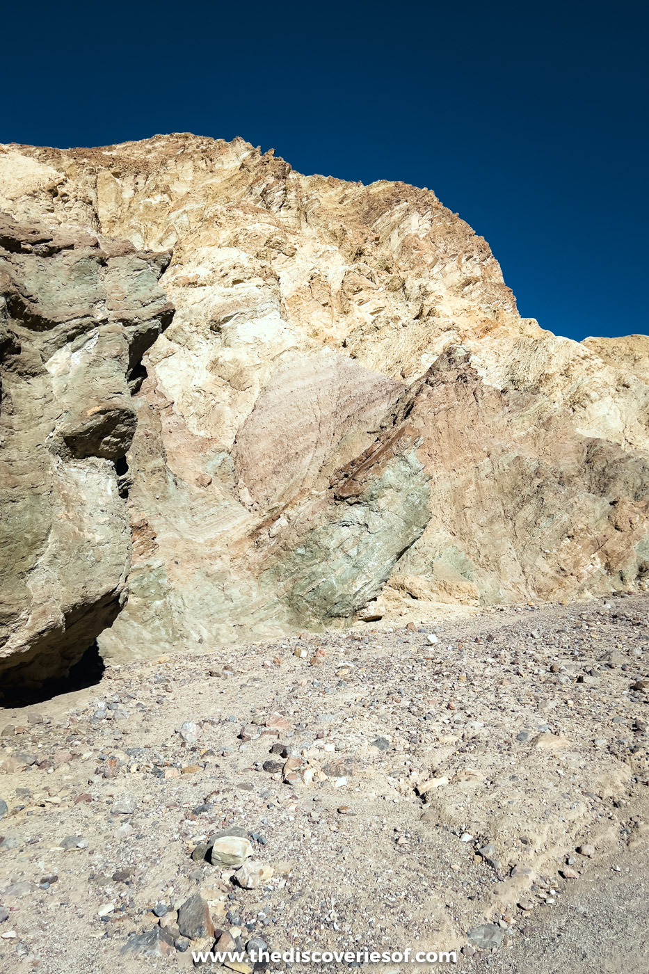
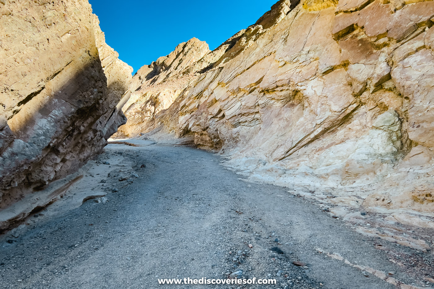
The trail follows the canyon floor, a broad wash of gravel and grey silt, gently uphill all the way, and within a few minutes the walls block out the road. A paved road once ran up here, until a storm in February 1976 tore it apart. It was never rebuilt.
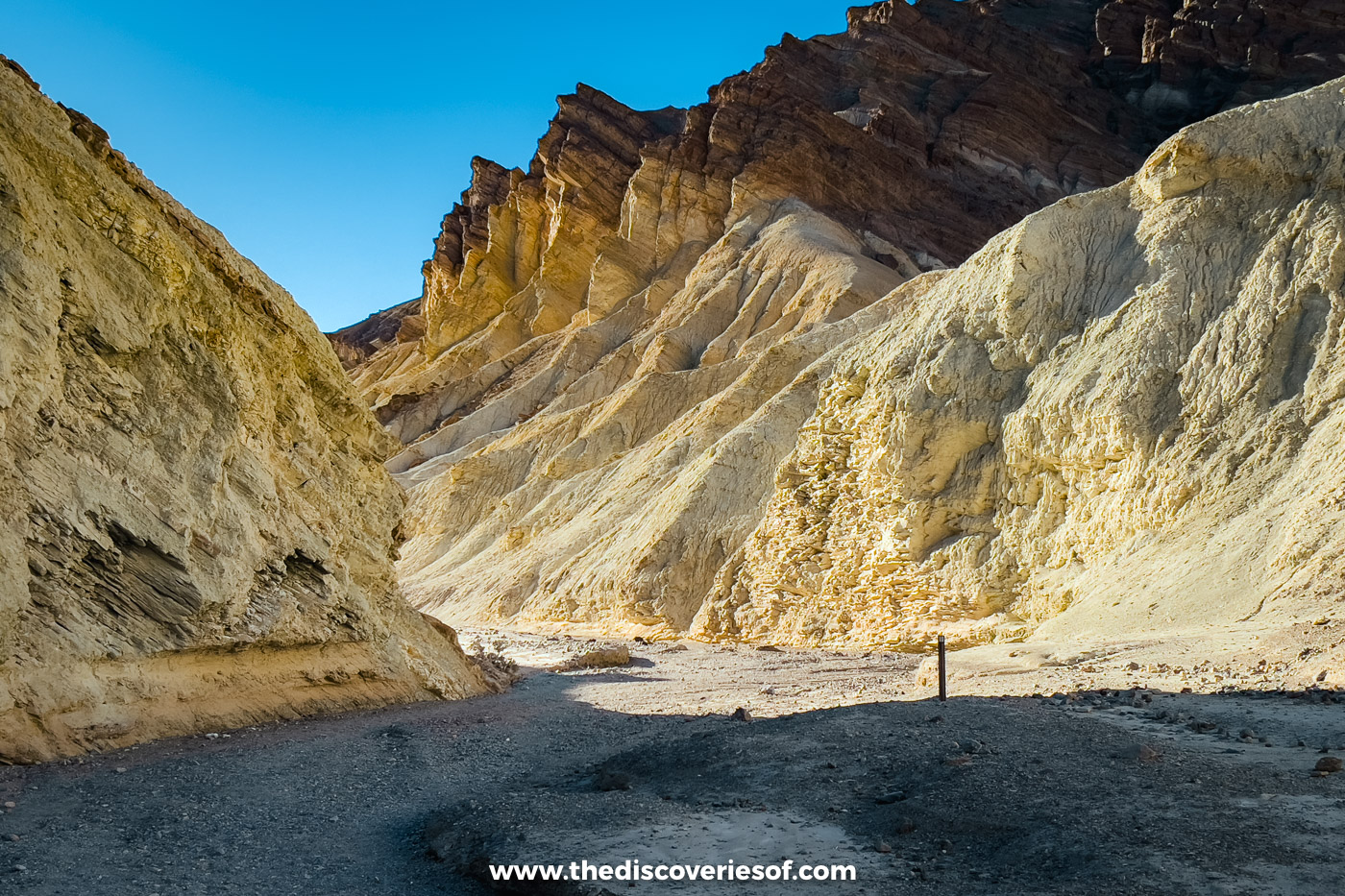
The gold in the name is the colour of the rock: silt that settled on the floor of an ancient lake and became the soft yellow mudstone you’re walking through. The white crusts are salts left as the water evaporated, and the reds come from rusting iron, deepening the further up you go.
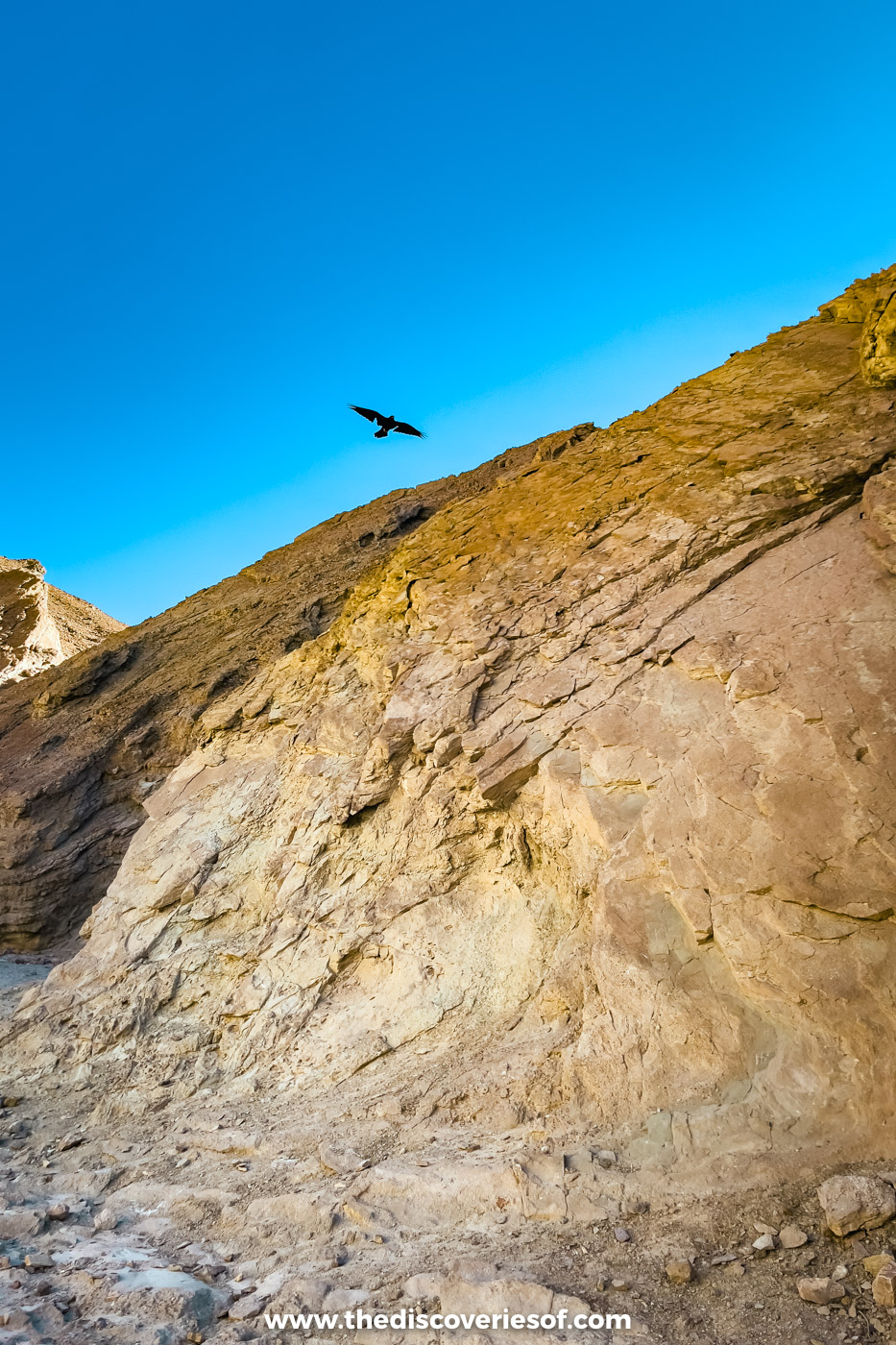
The free NPS App has a “Golden Canyon Hike” audio tour on the geology, so download it before you lose signal. Side canyons branch off on both sides, and you’re free to explore them.
Red Cathedral Junction
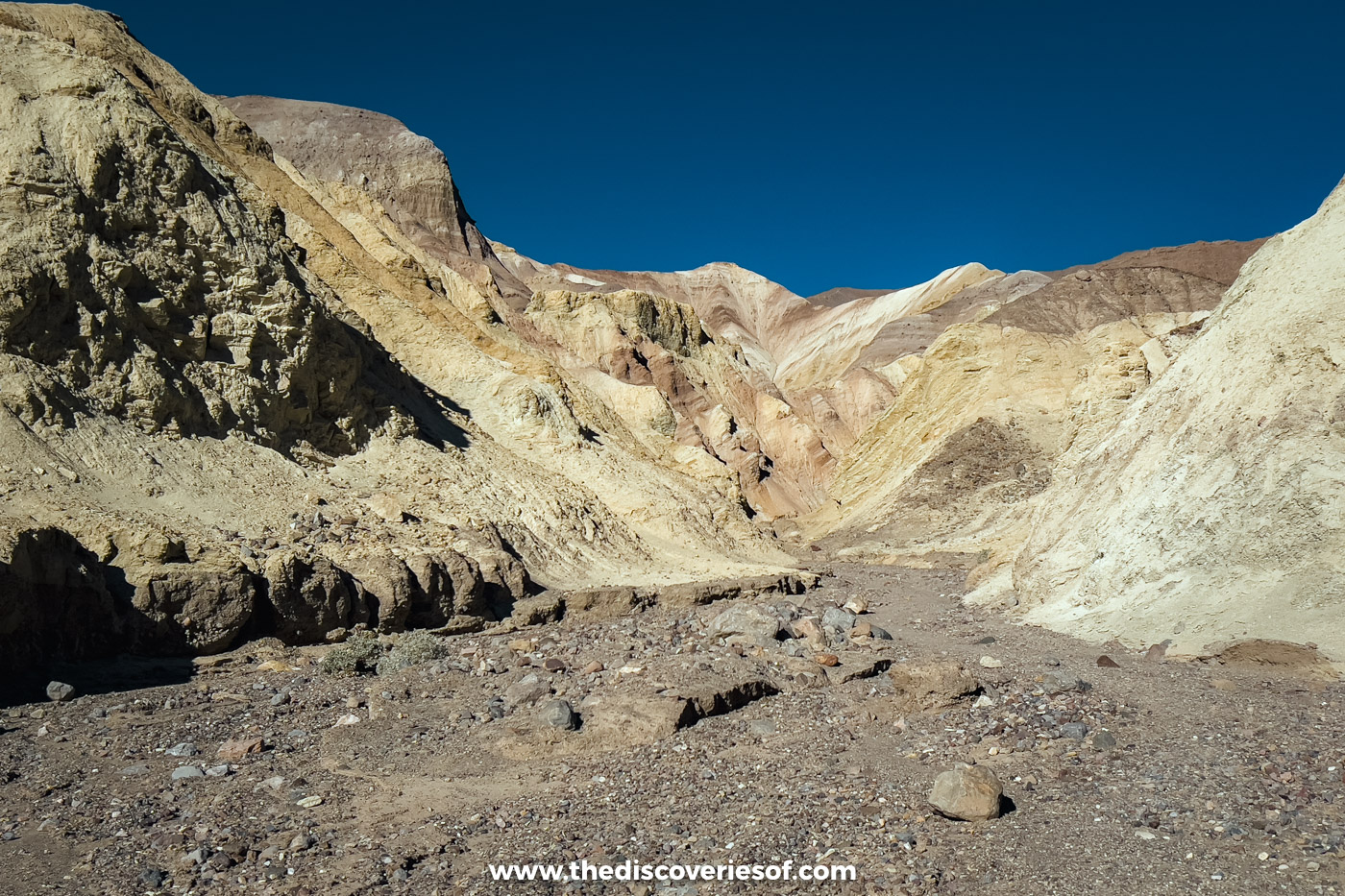
About a mile in, the canyon opens out beneath pink and cream badlands, with the pointed tip of Manly Beacon above, and you reach the signpost at Red Cathedral Junction.
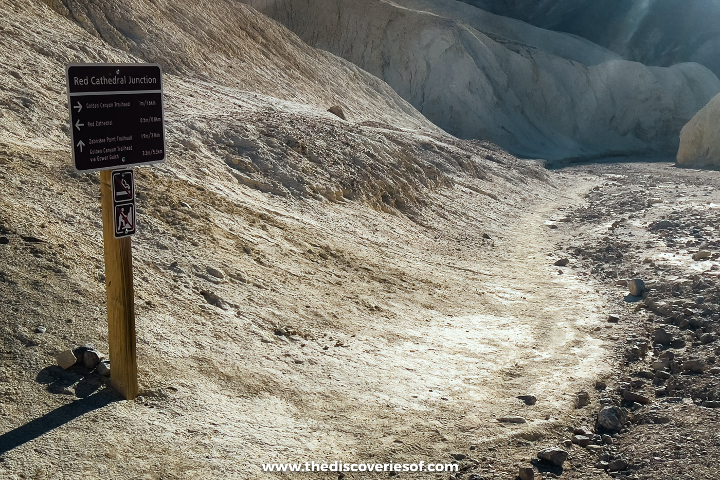
From here, it’s half a mile left to Red Cathedral, 1.9 miles on to Zabriskie Point and 3.3 miles back to the car park via Gower Gulch. Most hikers turn around here, which makes a 2-mile round trip and a perfectly good walk in its own right.
The last half mile to Red Cathedral
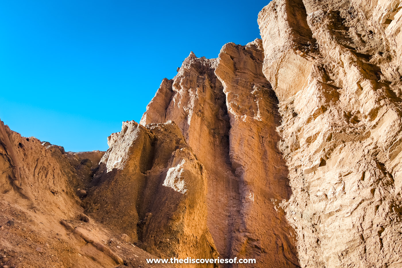
Red Cathedral is a natural amphitheatre of fluted, rust-red cliffs at the top of the canyon. Reaching it means half a mile of scrambling, with ledges around 4 feet high, low overhangs and gaps you have to squeeze or crawl through.
That final stretch is where my vertigo took over. I got as far as the foot of it, sat down, cross with myself rather than anyone else, and stayed put.
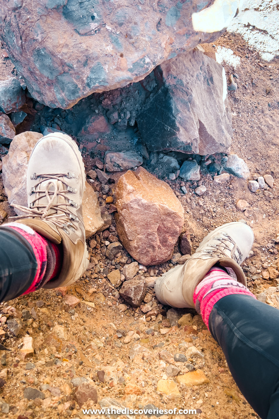
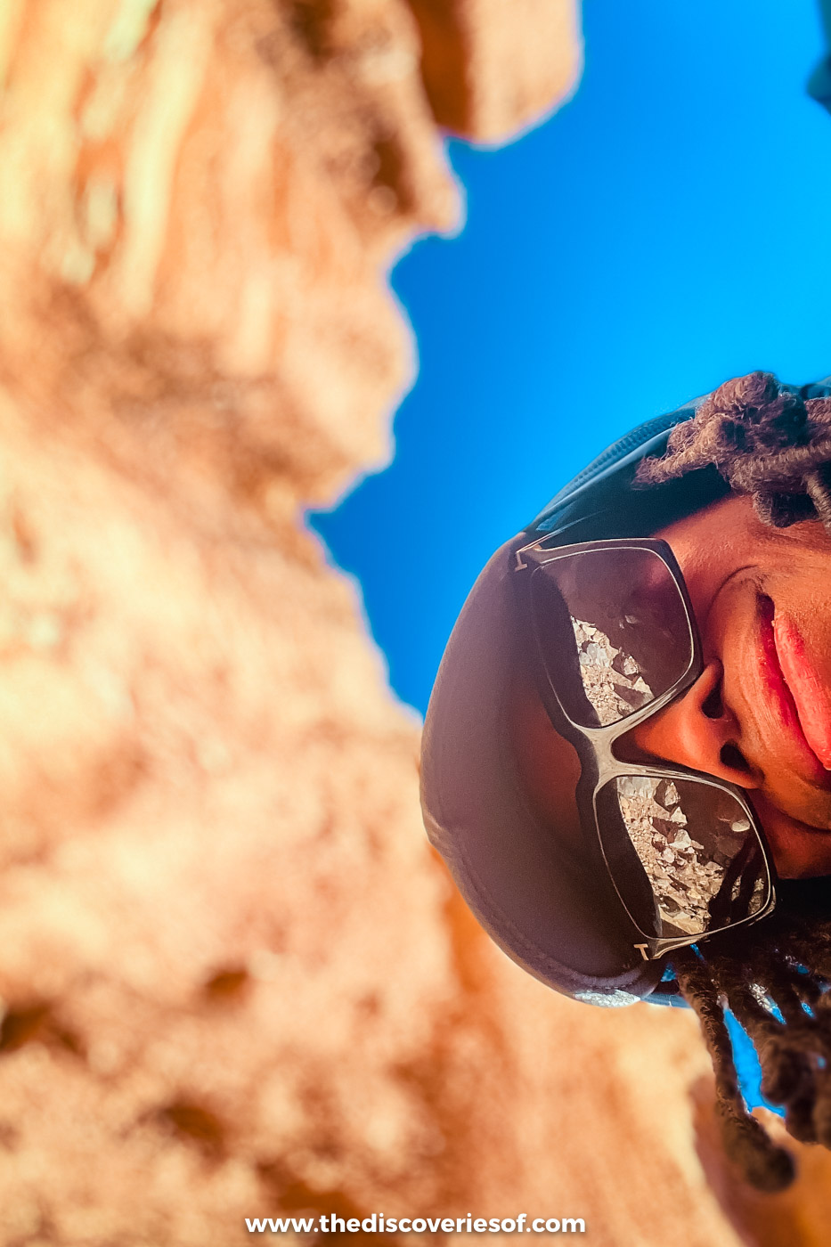
To salvage my pride, I found a patch of shade and spent the time messing about with arty photos of the rock towering over me. The colours here are some of the richest on the walk, and you can take them in from the bottom of the climb. If heights don’t bother you, carry on: there’s nothing technical about the ledges. If they do, there’s no shame in stopping where I did.
The walk back down
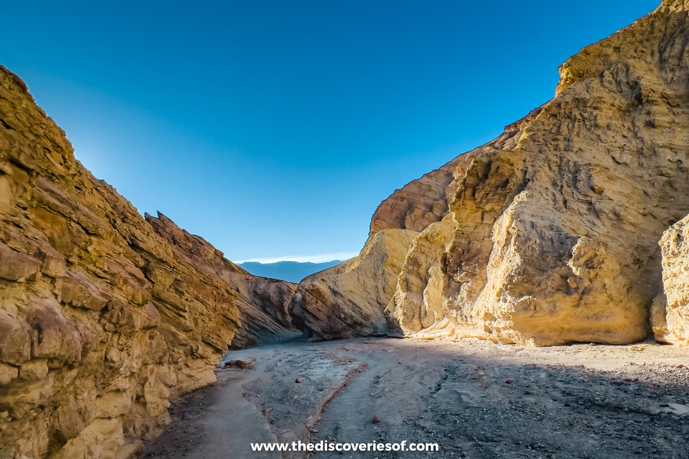
Going down, the canyon frames the far side of the valley and the mountains beyond, and the light catches walls you had your back to on the way up. These were the views I kept stopping to gawp at.
Longer routes: Gower Gulch and Zabriskie Point
The Gower Gulch loop
From Red Cathedral Junction, head towards Zabriskie Point beneath Manly Beacon, then turn down into Gower Gulch and follow it back to the trailhead: 4.3 miles and 850 feet of climbing in all, plus a mile if you detour to Red Cathedral. Near its mouth, the gulch pinches into narrows with a 25-foot dry fall, which the route bypasses on its north side, and more 4-foot ledges to climb down. It’s so deep because floodwater from Furnace Creek Wash was diverted into it in 1941, and the extra flow has cut the channel more than 20 feet down.
The full circuit via Zabriskie Point
The full circuit adds Zabriskie Point between the canyon and the gulch: 7.8 miles and about 4.5 hours, with Zabriskie a good lunch stop. It’s also one of the best places in the park for sunrise. I looked down on Manly Beacon from there early the next morning, and my guide to sunrise and sunset in Death Valley covers where to stand. With two cars, you can walk one way from Zabriskie Point down to Badwater Road instead, just under 3 miles and mostly downhill.
Before you go: parking, heat and flash floods
Getting there and parking
The trailhead is 2 miles down Badwater Road from Highway 190, about five minutes’ drive from the Furnace Creek Visitor Center, which hands out free maps of the routes. Park entry is $30 per vehicle for seven days, card only. From Pahrump, it’s a little over an hour; from Las Vegas, allow two to two and a half hours.
The trailhead is on the way to the salt flats, so it slots neatly into a day on Badwater Road. I drove on to Badwater Basin straight afterwards, and my guide to the best things to do in Death Valley has the rest of the drive.
Heat and the 10am rule
The canyon walls soak up the sun and radiate it back, so it’s hotter inside than the air temperature suggests. The park’s summer advice is blunt: don’t hike here after 10am. In July 2023, a visitor collapsed and died at the trailhead on a 121°F (49°C) afternoon. In winter, daylight is the limit instead: the sun sets before 5pm in November, so start the full circuit in the morning.
Flash floods and rules
Rain over the hills upstream can send water down the canyon even when it’s dry where you are, as the 1976 washout showed. Don’t set off if storms are forecast, leave the canyon floor at once if you hear rushing water, and check the conditions page on the park’s website before you go. Pets aren’t allowed on the trail, even carried, and drones are banned.
What to bring
- Water: at least 2 litres for a short winter hike and a gallon (about 4 litres) on longer, warmer ones. There’s nowhere to refill.
- Shoes with grip: trainers are fine to the junction, but the ledges beyond are easier in hiking shoes.
- Sun cover: a wide-brimmed sun hat and a good sunscreen, even in winter, as the pale walls bounce the light back at you.
- A photo of the map board: the board at the trailhead maps the whole network. I took a photo of it on my phone before setting off, and it’s the quickest way to keep your bearings without signal.
Map
Read next
- The best hikes in Death Valley National Park
- Things to do in Death Valley National Park that feel like another planet
- 3 days in Death Valley, built around a sunrise on the ridge and the dunes after dark
- A guide to Badwater Basin, the Death Valley salt flats
- A guide to the Mesquite Flat Sand Dunes
- Why stargazing in Death Valley is worth staying up late for
Love this? Save and share on Pinterest

Discover the top things to do, insider tips and hidden gems in our USA Travel Guides.
Read the guides →