
USA
Death Valley National Park travel guide
A ridge-top sunrise that justifies a 4am alarm, marble narrows buffed smooth by floods and a salt flat 282 feet below sea level. Plan your trip to Death Valley, from when to go and where to base yourself to which roads are open and the guides to read first.

Julianna BarnabyTravel and culture writer
Death Valley is the largest national park in the US outside Alaska, and it crams more extremes into its three million acres than seems fair: the lowest ground in North America, the hottest air temperature ever recorded, dunes, marble canyons and, in winter, snow on the peaks high above the salt. Most of what first-time visitors come for sits around three small settlements along Highway 190: Furnace Creek, Stovepipe Wells and Panamint Springs.
My own visit was a three-day stop on a November road trip through California, driving in each morning from Pahrump, over the state line in Nevada. My alarm went off at 4am for sunrise at Dante’s View, so cold that I feared for my ears, and I headed down to Zabriskie Point straight afterwards. I walked nearly a mile out onto the salt at Badwater, left the final scramble to the Red Cathedral to braver souls (my vertigo won that one) and came out of Mosaic Canyon speechless, which is no small feat. The nights were just as memorable, out on the Mesquite Flat dunes, near Ubehebe Crater and on the Racetrack Playa, and I made the long drive north to climb the Eureka Dunes too.
Below are the essentials for planning your own trip, with links to every Death Valley guide I’ve written.
Some links in this article may be affiliate links, which means we may receive a small commission, at no additional cost to you, if you decide to purchase through one of my recommended partners.
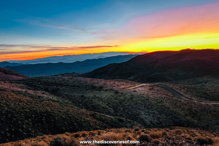
 The best places for sunrise and sunset in Death Valley (one is worth a 4am alarm)
When to go
November to March is the most comfortable time to go, with mild days on the valley floor and cold nights. I went in November: the afternoons were warm, but the pre-dawn starts were freezing, and Furnace Creek’s average lows fall to around 48°F (9°C) that month and 38°F (3°C) in December.
Spring brings the biggest crowds, and in a good year, after winter rain, wildflowers spread across the lower slopes between late February and early April. Come summer, 120°F (49°C) on the valley floor is normal, so plan around sunrise and sunset, and stay off the low-elevation trails after 10am.
The Dark Sky Festival is on 5 to 7 February 2027, over a new moon, and the guided tours of the Scotty’s Castle grounds run on most weekends until 17 April 2027.
Getting there and around
- NPS current conditions: road closures, flood damage and alerts.
- NPS calendar: ranger walks, night sky programmes and festivals.
- Death Valley Natural History Association: tickets for the Scotty’s Castle tours.
- Skyscanner: flights into Las Vegas or Los Angeles.
- Rentalcars.com: car hire.
- GetYourGuide: day trips and stargazing tours from Las Vegas.
You’ll need a car: there’s no public transport into the park and no shuttle inside it. Furnace Creek is about two hours (120 miles) from Las Vegas via Pahrump, and roughly 4.5 to 5 hours’ drive from Los Angeles via Interstate 15, Baker and Highway 127. Highway 190 crosses the park from east to west, and Furnace Creek to Panamint Springs takes about an hour and 20 minutes. The Racetrack Playa and other backcountry roads need a high-clearance 4WD.
Where to stay
Furnace Creek
The most central base, with the visitor centre, fuel and most of the big sights, from Badwater to Golden Canyon, within about half an hour’s drive. Rooms here cost the most and book up early in the cooler months. Stay at The Inn at Death Valley, a historic resort with palm gardens and a pool fed by a natural spring.
Stovepipe Wells and Panamint Springs
Two small, simpler outposts further west. Stovepipe Wells puts you beside the Mesquite Flat dunes and Mosaic Canyon for sunrise and after dark; Panamint Springs suits the western side of the park and has the darkest skies of the three.
Pahrump
My base, just over the Nevada border: far more choice and lower prices, with supermarkets and restaurants, but at least an hour from most of the big sights. Stay at the Holiday Inn Express & Suites Pahrump, which I found decent, modern and fairly priced, if nothing to write home about.


Tours
Know before you go
Top things to do
Watch the sunrise from Dante’s View
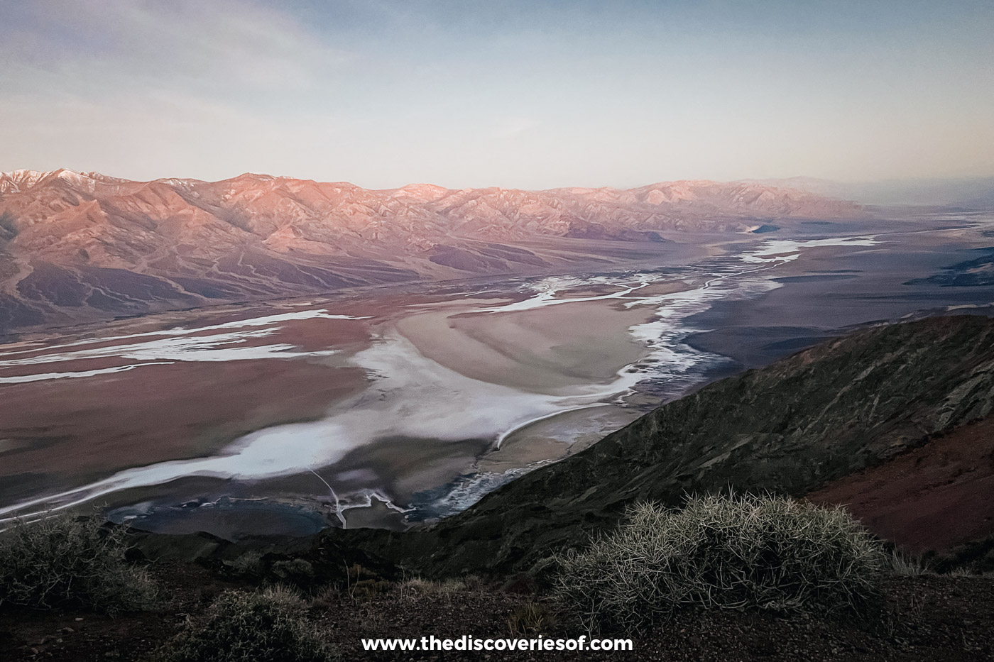
If you only have one morning, spend it on this ridge high in the Black Mountains, watching the first pink light reach the Panamints before the valley floor turns gold. Wrap up, as it’s bitterly cold before dawn. My sunrise and sunset guide has the timings.
See the badlands from Zabriskie Point
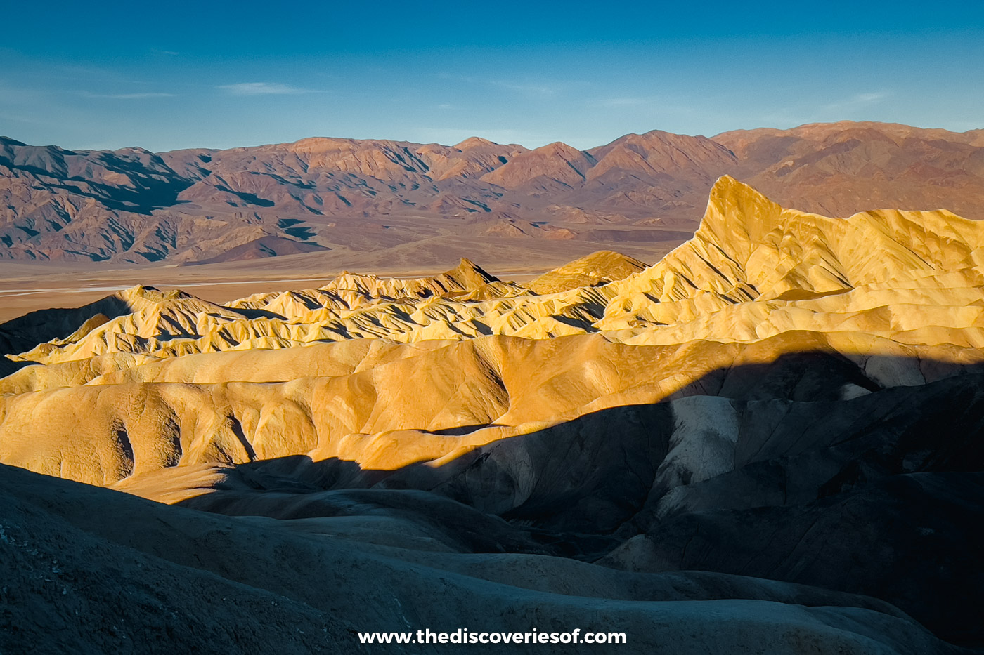
A short, steep path climbs from the car park to a view over the gold and grey folds of an ancient lakebed, with the sharp fin of Manly Beacon in the middle. Early and late in the day, the ridges light up.
Head out across the salt at Badwater Basin
The boardwalk stops after a few minutes, but the salt carries on for miles. I walked nearly a mile out, to where the crust breaks into polygons. My Badwater Basin guide explains how far to go and when.
Hike Golden Canyon and Mosaic Canyon
Two of my favourite walks in the park: golden mudstone walls on the way to the Red Cathedral, near Furnace Creek, and marble narrows you can touch on both sides, near Stovepipe Wells. My guides to Golden Canyon and Mosaic Canyon cover each route, and both are in my Death Valley hikes guide.
Drive Artist’s Drive
A 9-mile, one-way loop off Badwater Road through hills stained pink, green and lilac by minerals, with Artist’s Palette halfway round. It was one of my highlights of the trip, and it’s best in the late afternoon.
Wander the Mesquite Flat Sand Dunes
The easiest dunes to reach, right beside Highway 190 near Stovepipe Wells, with no trail: just walk out across the ripples. I went in the morning and again after dark. My Mesquite Flat Sand Dunes guide covers timings and rules.
Stargaze under Gold Tier skies
The park holds the top rating an International Dark Sky Park can earn, and almost anywhere with a wide view of the sky will do. My stargazing guide has the best months, spots and new moon dates.
Stop at Natural Bridge and the Devil’s Golf Course
Two quick stops off Badwater Road, and I made both: a half-mile walk up a gravel canyon to a thick rock arch, and a field of jagged salt pinnacles best admired from the car park.
Suggested itineraries
Death Valley in a day
One day
Dante’s View at sunrise, Zabriskie Point, Golden Canyon, Artist’s Drive, Natural Bridge, then Badwater Basin for sunset
Everything most people picture, none of it more than about 30 minutes’ drive from Furnace Creek.
Three days in Death Valley
Three days
Furnace Creek and Badwater Road, then Stovepipe Wells, the dunes and the north, then Panamint Springs and the west
My 3-day itinerary covers all three corners at a sensible pace.
The desert road trip
A week or more
Los Angeles, then three days in Death Valley, then Palm Springs and Joshua Tree, then San Diego
The loop I drove in November; my guide to Joshua Tree picks up where this one ends.
Hidden Death Valley National Park
The Eureka Dunes
California’s tallest dunes, alone in the far north-west, and on dry days they boom when the sand slides. I drove all the way out to climb them: set aside most of a day and leave with a full tank.
The Racetrack Playa
A dry lakebed where the sailing stones leave long trails in the mud, and where I spent one of my nights stargazing. You’ll need a high-clearance 4WD with two full-size spares.
Father Crowley Vista
A roadside rim west of Panamint Springs, looking down into Rainbow Canyon, striped in dark lava and cream and red ash.
Wildrose Charcoal Kilns
Ten stone beehive kilns from 1877, standing among pinyon pines up in the Panamints and reached on the Upper Wildrose road.
Costs and budgeting
Once you’re in, most of the park is free, so the big costs are fuel and beds. Rooms inside the park cost the most and Pahrump the least.
- Park entry: $30 per vehicle for seven days ($25 per motorcycle, $15 on foot or by bike)
- America the Beautiful pass: $80 for US residents, $250 for non-residents
- Fuel: sold in all three park hubs, for more than you’d pay outside
Safety, health and tipping
Safety
Flash floods can fill a canyon in minutes, so stay out of narrow canyons when storms are forecast anywhere nearby. Keep clear of old mine shafts, look before you put a hand or foot anywhere after dark (rattlesnakes and scorpions come out as the ground cools) and let someone know your route before you head into the backcountry.
Health
Heat is the real danger here. In summer, drink before you’re thirsty, carry a gallon of water each for every day out, rest in the shade and keep off the low trails after 10am. In winter, the risk swings the other way: viewpoints such as Dante’s View can sit close to freezing before dawn.
Tipping
Tip 18% to 22% at sit-down restaurants, US$1 to US$2 a drink at bars and 15% to 20% for tour guides and drivers.
Practical tips and info
Tips for travelling
- Read the park’s conditions page the day before: the Darwin Falls road is due to stay shut until about summer 2027 and Titus Canyon Road until about May 2027, while Scotty’s Castle can only be seen on a guided tour of the grounds.
- Fill up and download offline maps before you arrive: fuel costs more in the park, and phone signal is patchy beyond Furnace Creek and Stovepipe Wells.
- Bring a card: the entrance fee can’t be paid in cash.
- Leave the dog at home: pets aren’t allowed on any trail or dune field, even in your arms.
- UK and other Visa Waiver visitors need an approved ESTA (US$40.27) before flying.
How to see the best for free
Once you’ve paid the entry fee, nearly everything in the park is free: every viewpoint, trail and dune field, with no timed tickets. The park never closes, so you can be out for sunrise or stay on for the stars without paying a cent more, and the ranger walks and night sky programmes in the cooler months are free too (check the calendar).
Just over the Nevada line near Beatty, the ghost town of Rhyolite and the Goldwell Open Air Museum next to it cost nothing to explore.
Packing
Packing for Death Valley? Don’t forget…
- A big water bottle: plus spare water in the car: in hot weather, allow four litres (a gallon) each a day.
- A sun hat and sunscreen: there’s almost no shade on the valley floor.
- A warm fleece, hat and gloves: for sunrise on the ridges and nights under the stars.
- Sturdy shoes: my go-to pair are the Tropicfeel Canyons.
- A head torch with a red-light setting: for walking out onto the dunes after dark.
Travel insurance
US medical bills are notoriously high, and help can be hours away in a park this size, so make sure your policy has generous medical cover for the USA, including rescue. If you’re hiring a car, check what the agreement says about unpaved roads before heading into the backcountry. Compare policies with AXA Travel Insurance.
Suggested guidebooks
Interesting facts
- Furnace Creek’s 134°F (56.7°C), recorded in July 1913, is still the world’s highest air temperature on record.
- Badwater Basin, 282 feet below sea level, lies about 85 miles from Mount Whitney, the highest peak in the contiguous US.
- Death Valley became a national monument in 1933 and a national park in 1994.
Time zone
Pacific Time: UTC-8, or UTC-7 from the second Sunday in March to the first Sunday in November, the same as Las Vegas and Pahrump, so there’s no time change on the way in from Nevada. Usually eight hours behind the UK.
Electricity and adapters
Type A and B plugs, at 120V and 60Hz.
Map
Insider tips, straight to your inbox
All Death Valley National Park guides
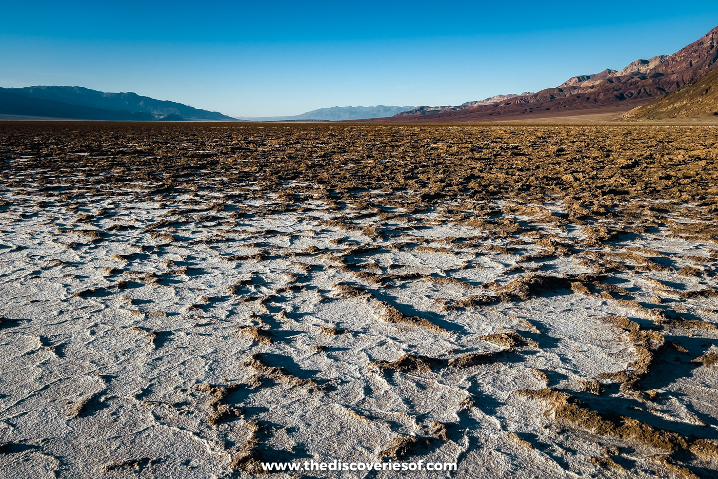 A guide to Badwater Basin, the Death Valley salt flats 282ft below sea level
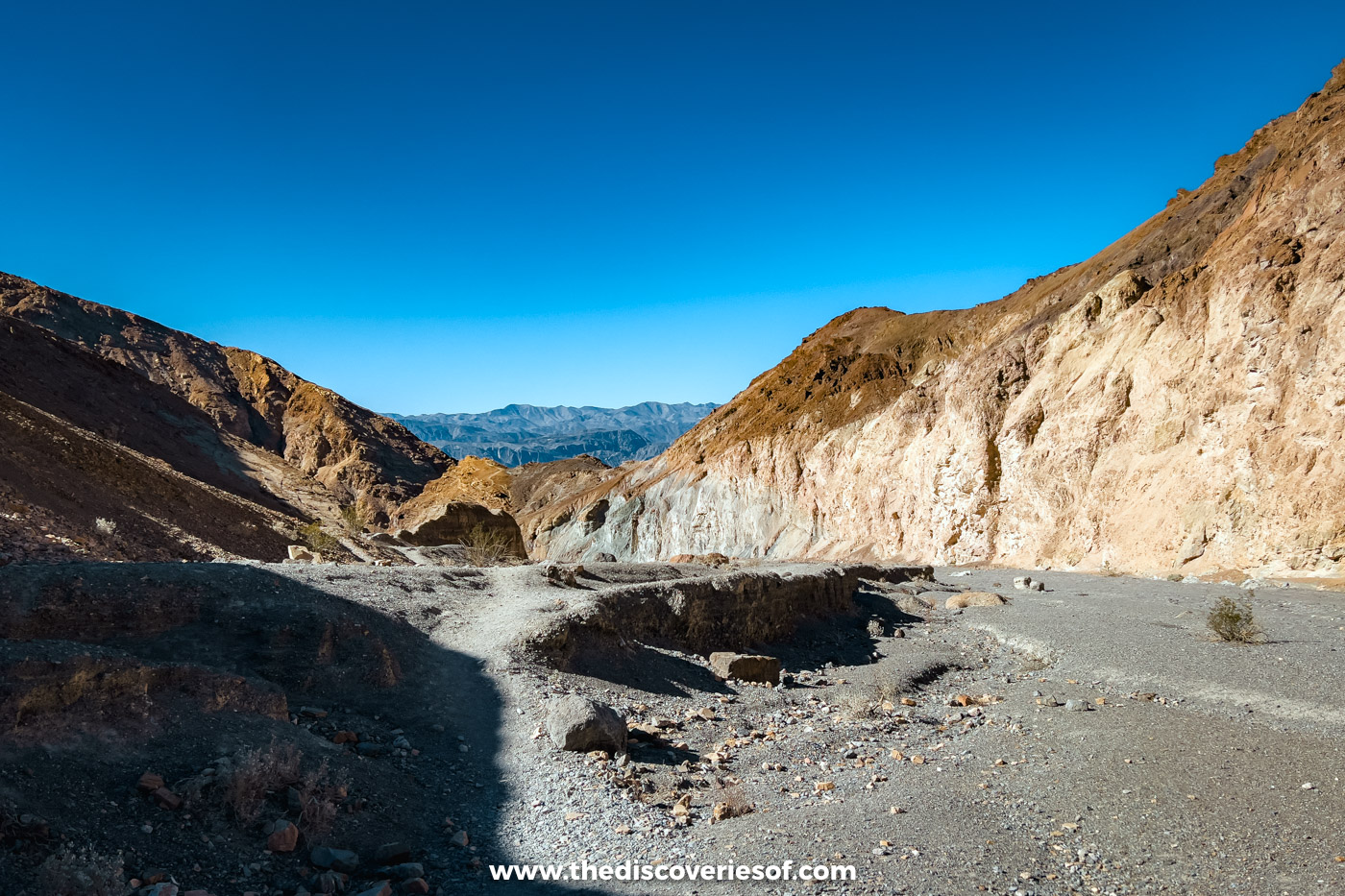 Hiking Mosaic Canyon in Death Valley, through narrows of polished marble
 How to hike Golden Canyon and Gower Gulch, the most popular short walk in Death Valley
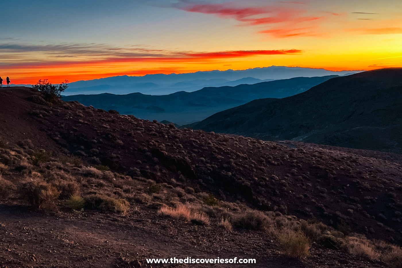 3 days in Death Valley, built around a sunrise on the ridge and the dunes after dark
 The best hikes in Death Valley National Park (they start earlier than you think)
 21 things to do in Death Valley National Park that feel like another planet
 A guide to the Mesquite Flat Sand Dunes, the Death Valley dunes you can walk straight onto
 Why stargazing in Death Valley is worth staying up late for
 The best places for sunrise and sunset in Death Valley (one is worth a 4am alarm)



Watch on YouTube
See the places before you go
Short films from the places in my guides, so you can see what a destination really looks and feels like before you go.
Subscribe on YouTube youtube.com/@thediscoveriesof