
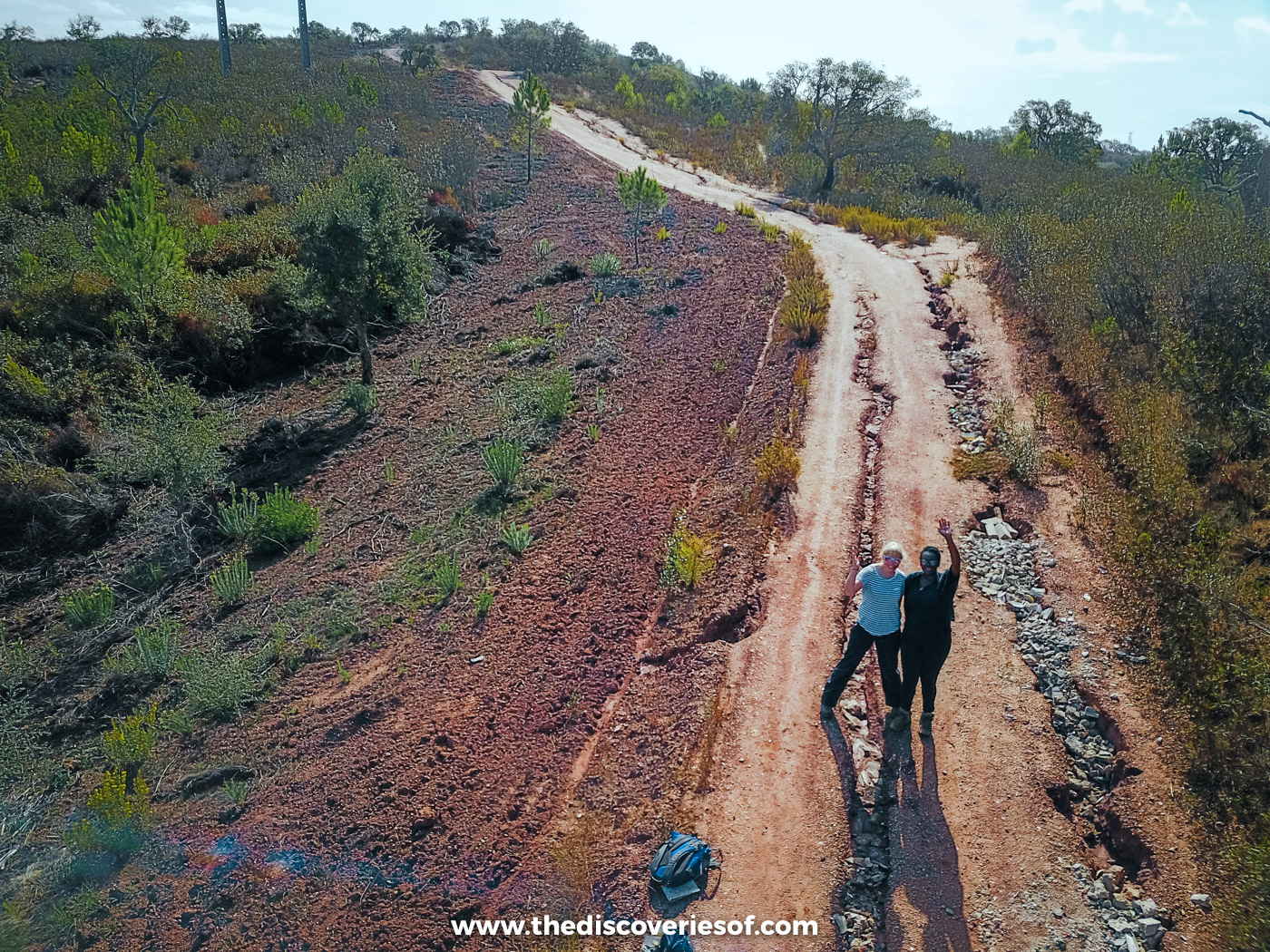

Portugal’s wild southwest corner is a world away from the beach resorts further south: sandy paths along crumbling sea cliffs, fishing harbours wedged into coves, and quiet hills of cork oak where you can walk all day and hardly see a soul. Running through it all is a network of walking trails, waymarked stage by stage. Here’s how it fits together, the stages I walked, and how to plan your own days on foot.
The Rota Vicentina is a network of about 750km of walking trails in the southwest of Portugal, most of it inside the Southwest Alentejo and Vicentine Coast Natural Park. It has two long-distance routes, the coastal Fishermen’s Trail and the inland Historical Way, plus two dozen circular walks, and you can join it for a single afternoon or spend a fortnight walking from end to end.
I’d been to Portugal more times than I could count before I finally made it to the Alentejo, one October, when I drove myself up from Faro in a tiny hire car to walk it. I spent a few days moving between four very different places to stay, walking a different kind of trail each day: a guided stretch of the clifftops south of Zambujeira do Mar, a long day through the cork country out of Santiago do Cacém, a circular route up to a hilltop chapel, and a sandy stretch of the coast near Vila Nova de Milfontes, with an afternoon among the fishermen and makers of Azenha do Mar and Brejão along the way.
Each walk felt completely different from the last, which is a big part of the appeal. Below are the stages I walked, followed by the rest of the route, with distances, waymarks, the current diversions and when to go.
The trails at a glance
- Where: The southwest coast of Portugal, from Santiago do Cacém and São Torpes (near Sines) in the Alentejo down to Cape St Vincent and Lagos in the Algarve.
- The routes: The Historical Way (263km in 13 stages, inland, Santiago do Cacém to Cape St Vincent), the Fishermen’s Trail (226.5km in 13 stages, on the coast, São Torpes to Lagos) and 24 circular routes of up to 16km each.
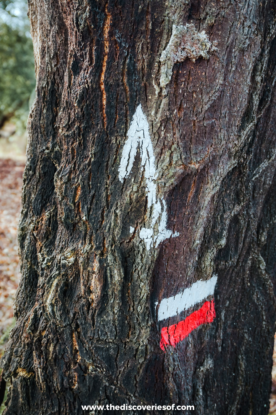
- Waymarks: Red and white stripes for the Historical Way, green and blue for the Fishermen’s Trail, and red and yellow for the circular routes. Crossed stripes mean wrong way.
- When to walk: September to June. July and August are too hot and exposed for long days, and the coast has almost no shade.
- Difficulty: The Historical Way is mostly easy farm tracks and footpaths. The Fishermen’s Trail is harder than it looks: around two-thirds of it is on sand.
- Getting there: About two hours by Rede Expressos bus from Lisbon’s Sete Rios terminal to Santiago do Cacém, or around two and a half to Vila Nova de Milfontes. Faro airport is around 90 minutes by car from Odeceixe.
- The rules: No wild camping anywhere in the natural park, groups of no more than 15 on the Fishermen’s Trail, walkers only (no running or vehicles in the dunes), and stick to the waymarked path.
The best stages of the Rota Vicentina to walk
Santiago do Cacém to Vale Seco: out into the cork country on the Historical Way
Distance: about 18.5km, one way
Time: 4 to 6 hours
Difficulty: moderate
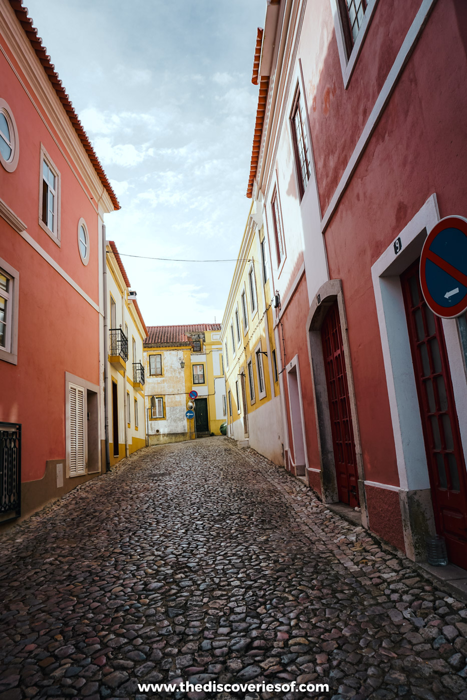
The Historical Way starts in the steep, cobbled town of Santiago do Cacém, at the parish church right below the castle walls. I set off from there one October morning, after a night at what was then the Hotel Santiago, and the first hour was the best kind of warm-up: down through lanes of pastel-painted houses, past old tiled fountains and out along stone steps to the edge of town.
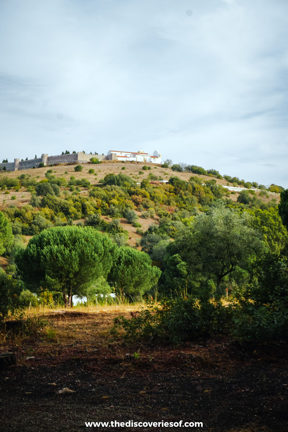
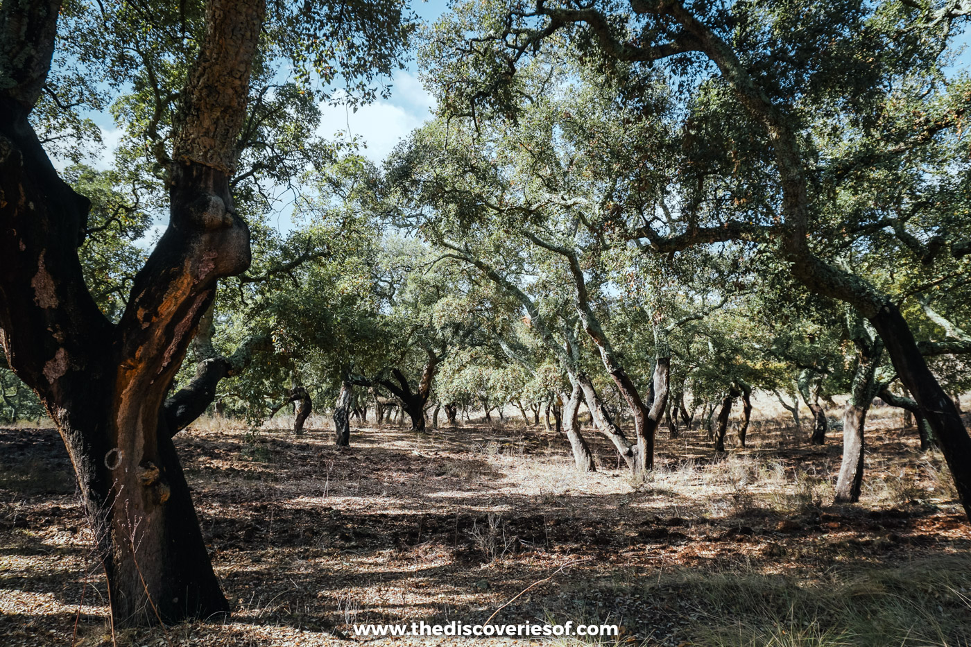
Within a couple of kilometres, the town gives way to red earth tracks through scrub and pine, and when you look back, the castle and its little white church sit on top of the hill behind you for a surprisingly long time. Further on, the red and white waymarks were painted onto the trunks of cork oaks, and by midday I was deep in the shade of the montado, the open cork and holm oak woodland that covers so much of the Alentejo.
This first stage has several climbs and drops in the opening 7km, then flattens out. There’s nowhere to buy food or water until Vale Seco, a tiny hamlet with very little in the way of beds or shops (and no cash machine), so carry everything you need and book your bed well ahead. Most walkers either push on the next day to Cercal do Alentejo (about 22km, past the Campilhas reservoir) or arrange a transfer back to Santiago.
One thing has changed since I walked it. In September 2024, the Rota Vicentina association rerouted the first two stages, Santiago do Cacém to Vale Seco and Vale Seco to Cercal, away from a new solar park and high-voltage power lines, so the line you’ll follow now isn’t quite the one I took. The new route is waymarked on the ground and in the official GPS tracks, maps and guidebook.
Getting There
Rede Expressos buses run from Lisbon’s Sete Rios terminal to Santiago do Cacém in about two hours. By car, it’s around an hour and a half from Lisbon down the A2.
Senhora das Neves: a steep puff to a hilltop chapel
Distance: 5km, 8km or 13km (circular)
Time: 2 to 5 hours
Difficulty: moderate, with one steep climb
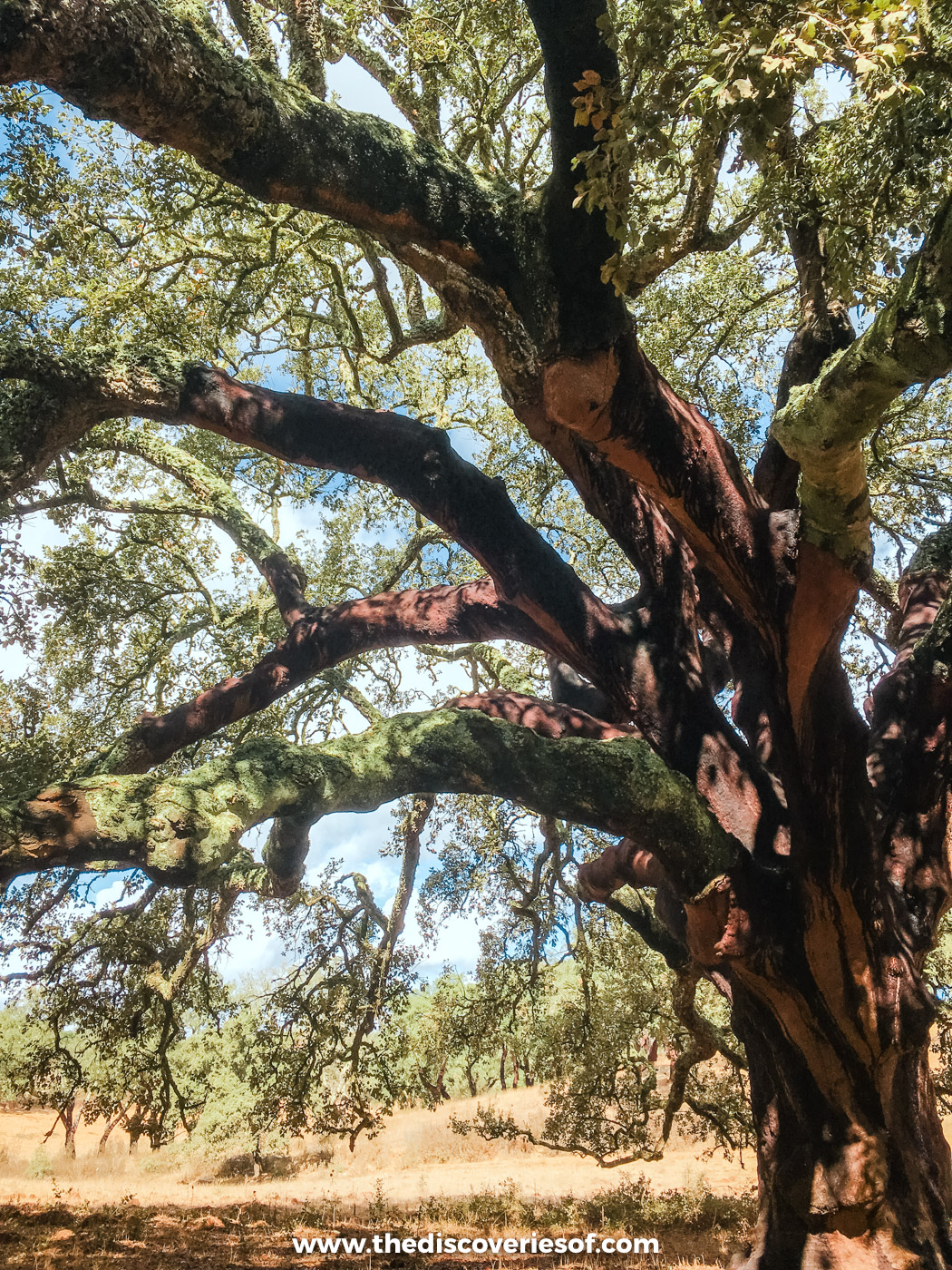
Inland from Odemira, the hamlet of Monte da Estrada sits in rolling hills of cork and holm oak, and the Senhora das Neves circular route loops up from the valley to the chapel of Nossa Senhora das Neves on top of a tall hill. Locals hold the chapel dear, and you can see why when you get there.
I walked it with Alexandre from Figueirinha Ecoturismo, the eco retreat where I’d spent the night before. He and Paula have looked after the route as its official caretakers since 2019, and part of it follows the paths they first mapped out around their own land. The day wound through cork oaks and dry, golden meadows with red earth paths underfoot, before the climb. And what a climb: the last pull up to the chapel is a steep puff, past the rather unsettling Anjo Homem (angel man) statue. At the top, the views stretch for miles across the hills, and a ridge path carries you along the hilltops before a scrambly descent drops you back into the valley.
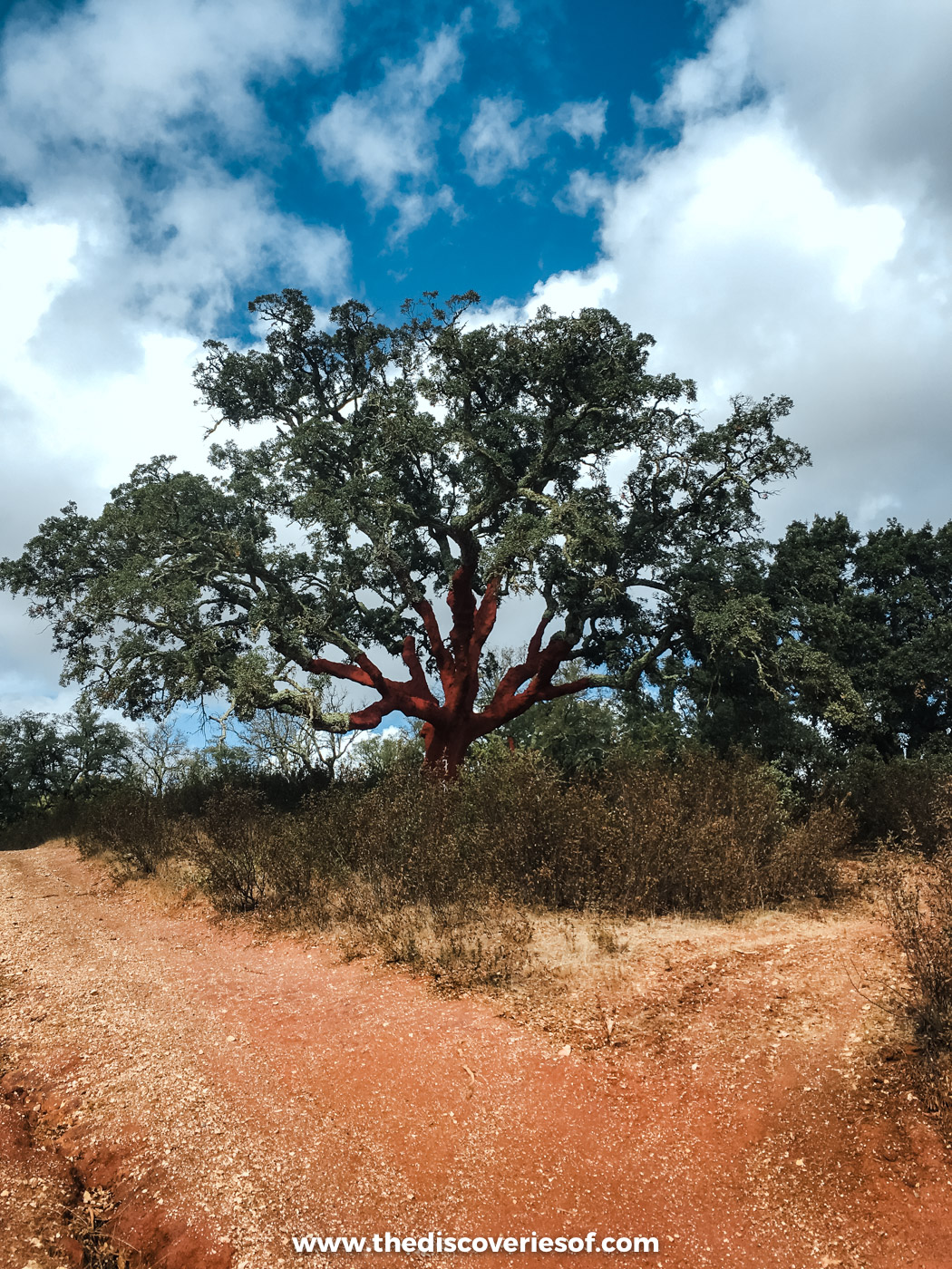
The route comes in three versions, of 5km, 8km and 13km, so you can choose how much of a day you want to make of it. Keep an eye out for wild boar, which are common in these hills, and carry plenty of water, as there’s no shop on the trail. Back at Figueirinha the evening before, Paula had cooked a hearty dinner, served around one big table, which is about as good a way to end a day on foot as I can think of.
Porto Covo to Vila Nova de Milfontes: dunes, coves and the Mira estuary
Distance: about 20km, one way
Time: 5 to 7 hours
Difficulty: moderate to hard (mostly sand)
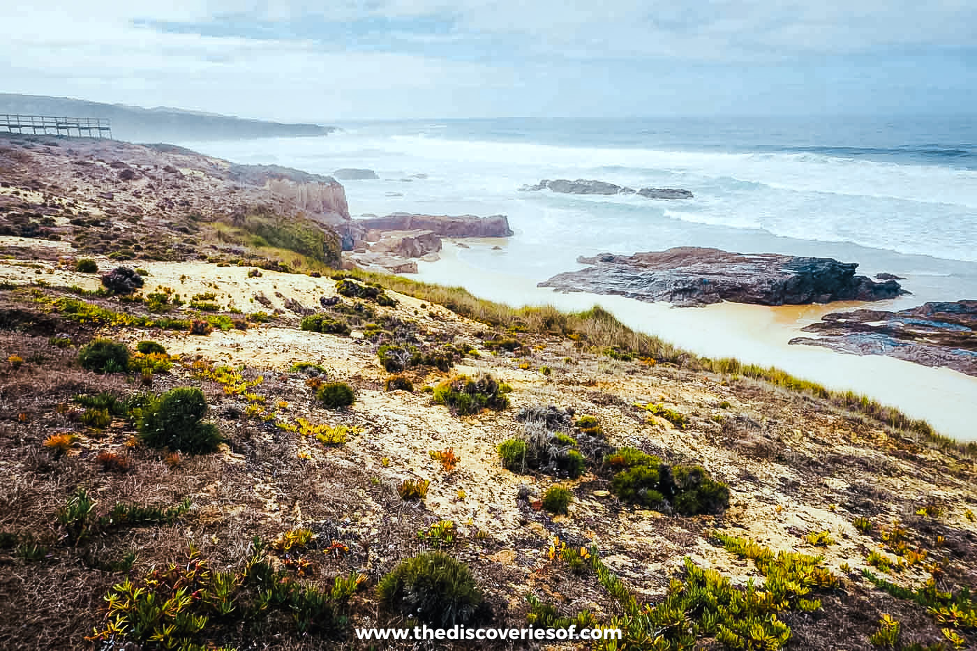
This is the classic first full day on the Fishermen’s Trail, and the one most people picture: a narrow sandy path through low, salt-blasted scrub, with the Atlantic crashing into rocky coves on one side and long, empty beaches opening up ahead. From the whitewashed fishing village of Porto Covo, it passes the old fort facing Pessegueiro island and a string of beaches, including Aivados and Malhão, and finishes beside the old fort at the mouth of the Mira in Vila Nova de Milfontes.
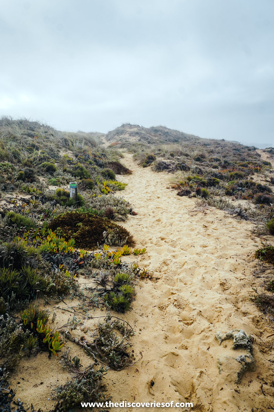
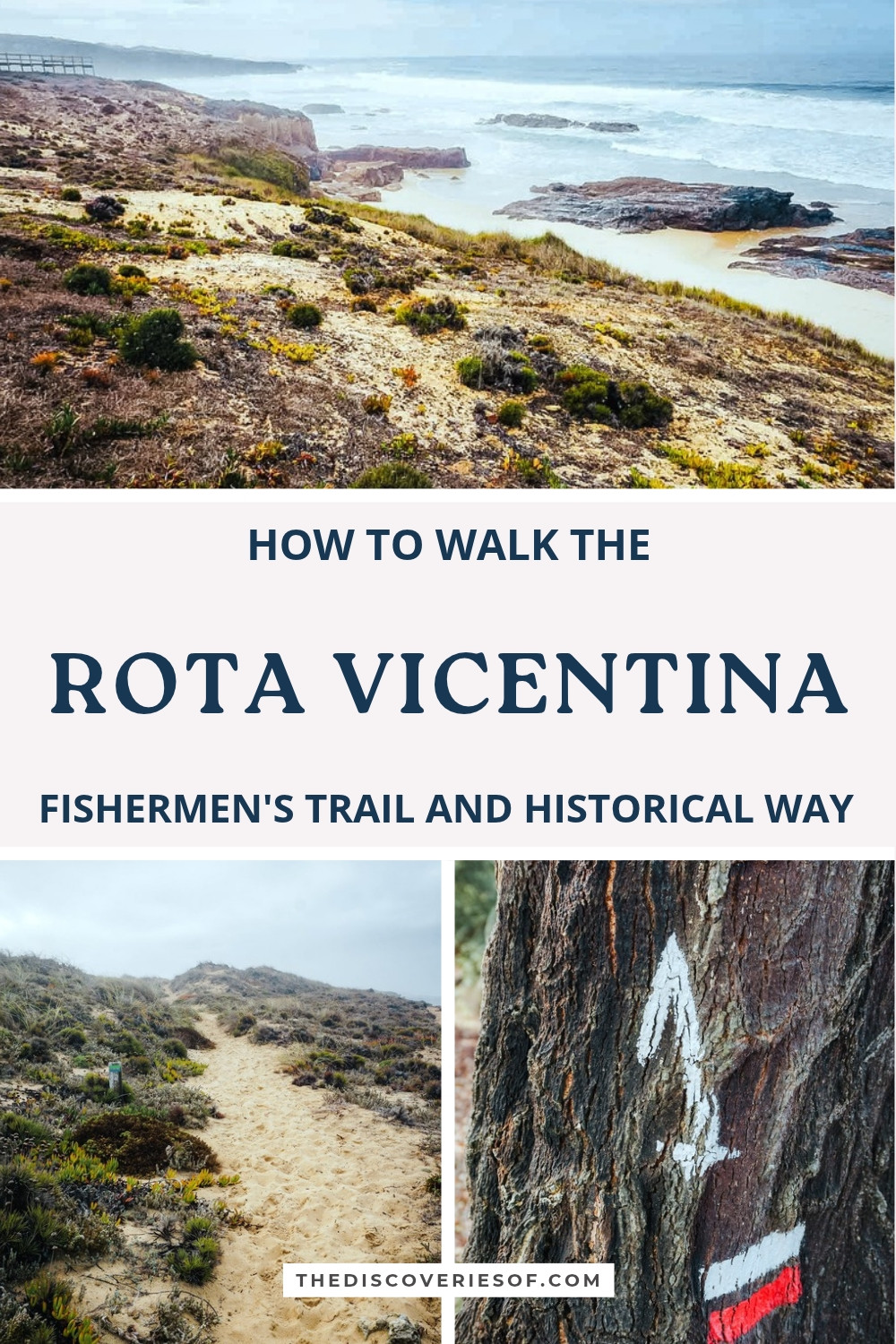
I walked the last part of it on my final morning, from Praia do Malhão towards Milfontes, under a low, grey October sky. It’s shorter than a full stage (about 9km to the little harbour at Porto das Barcas, just short of town) and it’s a good taste of what the coastal trail is really like: sand underfoot for most of the way, dunes freckled with succulents and wildflowers, and boardwalks and viewpoints over coves where the rocks run out into the surf.
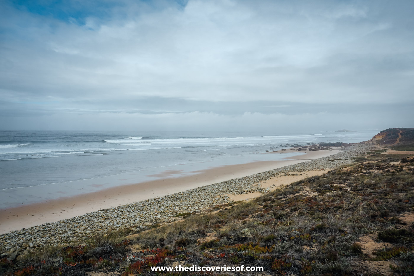
Don’t underestimate the sand. Around 13km of the full stage is on soft sand, which makes 20km feel a lot longer, so walking poles help and so does an early start. There’s a restaurant at the Pessegueiro fort near the start and a drinks stand at Praia do Malhão at about the halfway mark, but almost no shade, so carry at least a litre and a half of water.
Top Tip
If you only have a morning, start at Praia do Malhão, as I did, and walk south to Vila Nova de Milfontes in time for lunch. You get the best of the dunes and coves in about 9km.
Zambujeira do Mar to Odeceixe: fishing harbours and the edge of the Algarve
Distance: about 18.5km, one way
Time: 5 to 6.5 hours
Difficulty: moderate
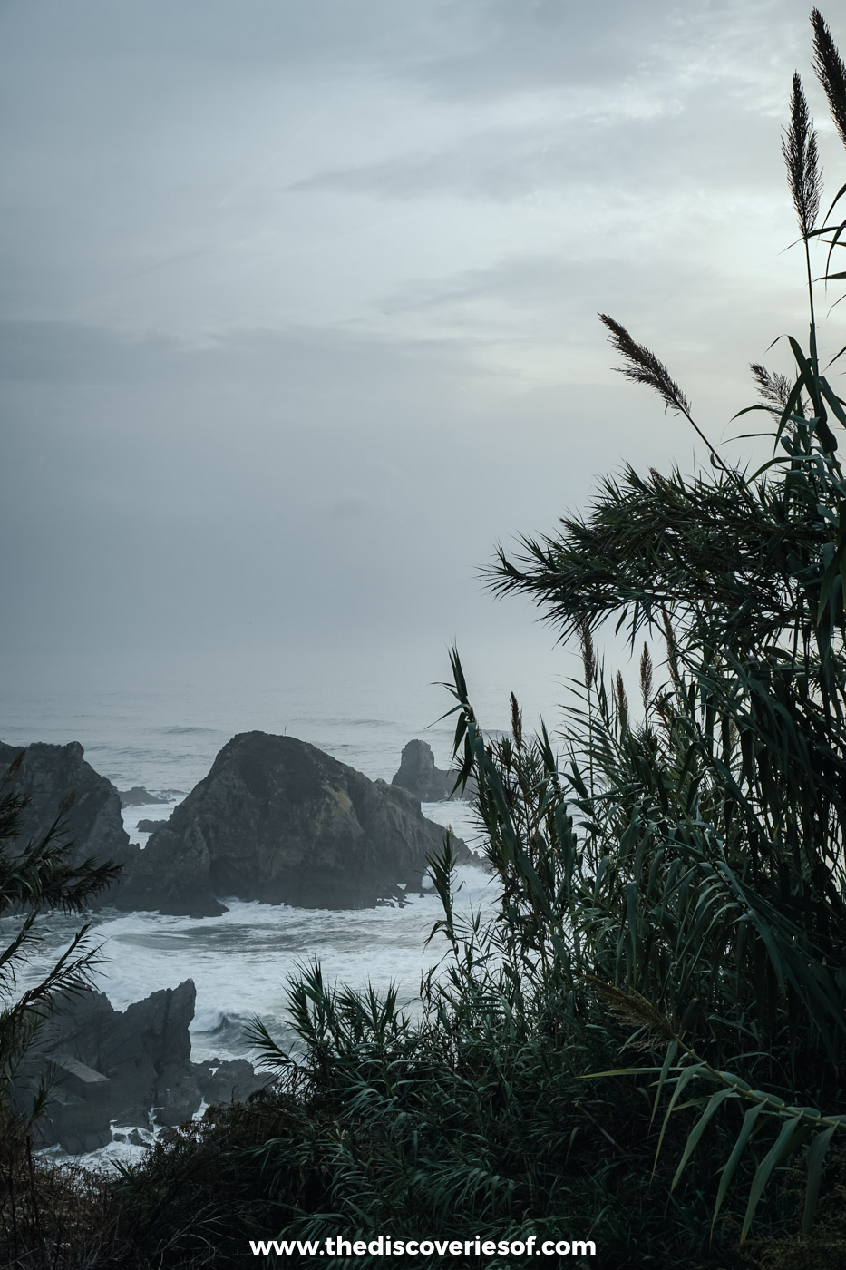
The southernmost Alentejo stage of the Fishermen’s Trail is one of its most varied. From the clifftop village of Zambujeira do Mar, it follows the cliffs past the valley beach at Carvalhal, then on to Azenha do Mar, a tiny fishing harbour tucked into a bay between a small beach and a tumble of fallen rocks, before cutting inland to cross the Seixe river into the Algarve at Odeceixe.
This was where my own walking began. On my first afternoon, I set off from the church in Zambujeira do Mar with a guide from the Rota Vicentina association and walked the first part of the stage, about 7km along the clifftops to Praia da Amália.
Azenha do Mar only dates back to the 1960s, when a handful of families from the hard-to-farm hills inland chose to stay rather than emigrate, built huts of wood and rope by the bay and started fishing all year round. When I visited, the waves were breaking too hard for the boats to go out, so the fishermen were ashore, mending their lines instead. If you’re walking this stage, the harbour’s seafood restaurant, about 10km in, is the obvious lunch stop (it doesn’t take reservations, and it’s closed on Wednesdays).

Just north of Azenha, below the hamlet of Brejão, is Praia da Amália, where my walk ended: a hidden cove below the land where the fado singer Amália Rodrigues had her holiday home from the 1960s, with a little waterfall at one end. In Brejão itself, I spent part of an afternoon in the workshop of tilemaker Rita Silvério Morais, who still makes Portuguese azulejos the old way.
The clifftop path south of Praia da Amália has been closed since January 2022 because of the risk of a landslide, and the trail follows a waymarked diversion slightly inland. A bridge with wooden steps has been approved to restore the original line, but at the last update from the Rota Vicentina association it was still waiting on the landowner’s agreement, so follow the diversion and don’t be tempted by the old path, which is still walked by some despite the danger. The last 4km run along a quiet road beside the Seixe into Odeceixe; its beach, where the river meets the sea, is about 3km further on.
São Torpes to Porto Covo: the short warm-up
Distance: about 10km, one way
Time: about 3 hours
Difficulty: easy to moderate
The Fishermen’s Trail officially starts at São Torpes, just south of the port town of Sines, and its shortest stage makes a gentle first afternoon if you arrive from Lisbon at lunchtime. It follows sandy paths and low cliffs past the beaches of Vieirinha and Oliveirinha into Porto Covo, the prettiest of the Alentejo’s fishing villages, with its low white houses trimmed in blue around a square above the harbour.
Vila Nova de Milfontes to Almograve: across the Mira and into the acacias
Distance: about 15km, one way (about 11km with the boat)
Time: 4 to 5 hours
Difficulty: easy to moderate
The day begins with the Mira estuary. The official route walks you round by the road bridge, which adds about 3km, partly beside a main road; the alternative is the little boat that runs across from the pier below the São Clemente fort, for about €5. Either way you reach Praia das Furnas on the far bank, a wild beach where the river meets the Atlantic, before the path climbs to the clifftops and winds through tunnels of acacia on the dunes to the small resort of Almograve.
Almograve to Zambujeira do Mar: storks on the sea cliffs
Distance: about 22km, one way
Time: about 6 hours
Difficulty: moderate
The longest Alentejo stage, and one with no cafés or shops along the way, so stock up in Almograve. The path passes the little fishing harbour at Lapa das Pombas on its way to the reward: Cabo Sardão, where a lighthouse looks out from the cliff edge and white storks build their nests on the sea stacks and clifftops below. They’re thought to be the only storks anywhere that breed on sea cliffs, and they’re back on their nests from early spring. From the cape, the clifftops lead on to Zambujeira do Mar.
Odeceixe to Lagos: the Fishermen’s Trail in the Algarve
Distance: about 150km over eight stages
Time: 8 days
Difficulty: moderate, with steeper climbs than in the Alentejo
South of the Seixe, the Fishermen’s Trail carries on down the west coast of the Algarve in eight more stages: Odeceixe to Aljezur (about 22.5km, partly inland), Aljezur to Arrifana (about 17km, past the beaches of Monte Clérigo), Arrifana to Carrapateira (about 20km, with the ruins of the 12th-century Ribat of Arrifana at the start and the cliffs above Praia da Bordeira at the end), Carrapateira to Vila do Bispo (about 16km), then on to Sagres, Salema and Luz before the short final stage into Lagos. In places, it borrows sections of the Historical Way, with red and white waymarks. For more on this stretch of coast, see my guide to the best things to do in the Algarve.
The rest of the Historical Way: Cercal do Alentejo to Cape St Vincent
Distance: about 245km over 12 stages, including two connecting routes
Time: 12 days
Difficulty: easy to moderate
After Vale Seco, the Historical Way heads south through the farmland and hills of the interior: Cercal do Alentejo, São Luís, the riverside town of Odemira, São Teotónio and Odeceixe, before crossing into the Algarve for Aljezur, Arrifana, Carrapateira, Vila do Bispo and the lighthouse at Cape St Vincent, the southwestern tip of mainland Europe. Two connecting stages link it to the coast at Porto Covo and to the village of Sabóia. Stages run up to 25km (the Sabóia link is 33km), with the long Cercal to São Luís and São Luís to Odemira days among the hardest for water and shade, so plan your supplies at the start of each day. It’s also part of the GR11/E9 European long-distance path.
Santa Clara to the lake: a short walk by the reservoir
Distance: about 10km (circular)
Time: about 3 hours
Difficulty: moderate
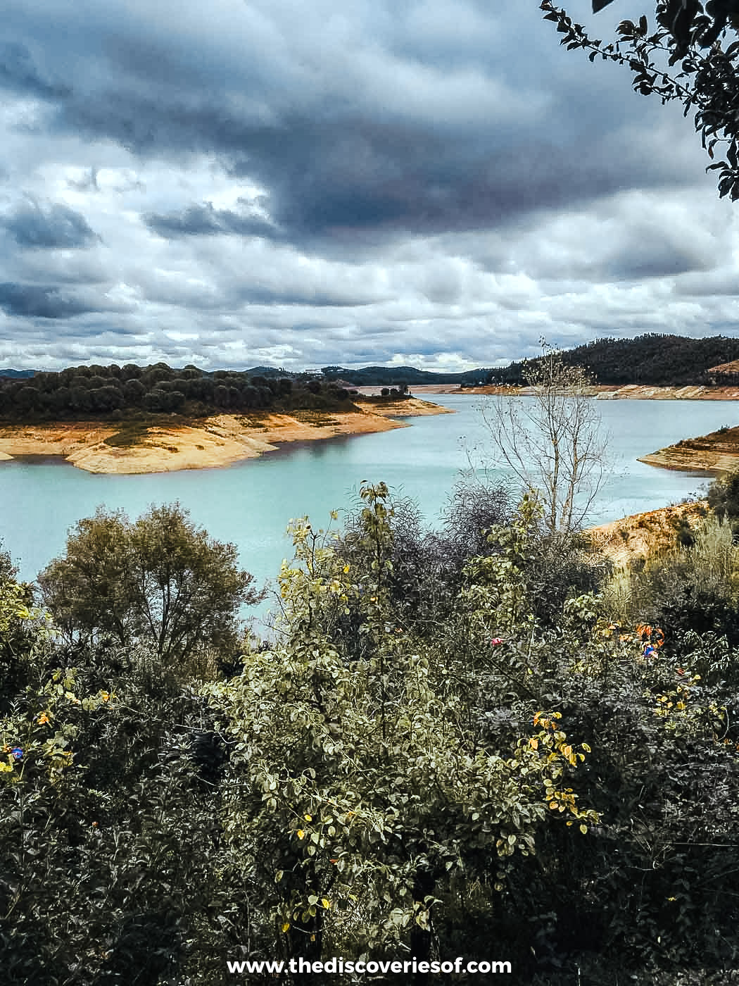
One of the two circular routes around Santa Clara-a-Velha, southeast of Odemira, sets off from the village and loops out to the Santa Clara reservoir, a long, many-fingered lake set in hills of cork oak, eucalyptus and scrub. It’s quieter, greener walking than on the coast, with good birdwatching around the water. The village, and Odete’s farmhouse on its doorstep, are in my guide to the Alentejo’s secret spots.
Tips for walking the Rota Vicentina
- Go in spring or autumn. March to May brings wildflowers on the dunes and green hills inland; September to November is warm, golden and quieter. Winter is walkable but wetter, and July and August are best avoided on foot. Before you set out, check the association’s online warning map, which flags flooded crossings, fallen trees, cliff falls and wildfire risk.
- Carry more water than you think. Several stages, inland and on the coast, have no shop or café for 15km or more, and there’s little shade. A litre and a half per person is the minimum on most days, and cash helps in the smaller villages.
- Let someone else carry your bag. Luggage transfer companies move your bag between bases along the whole route. Vicentina Transfers, for example, charges €15 a stage for one bag (two if you book four or more stages), with bags collected from 9am and delivered by 4.30pm, from September to November and February to June.
- Mix and match. You don’t have to walk from end to end. Base yourself in two or three places, walk the stages you like the look of and use local taxis or the occasional bus to get back. A car makes this far easier, which is why I drove myself between bases.
- Where to stay: Santiago do Cacém makes the best base for the Historical Way and Vila Nova de Milfontes for the coast. I stayed at Octant Santiago (then the Hotel Santiago) and Herdade do Freixial, two of the four bases from my trip that you’ll find in my guides to where to stay in Portugal and the Alentejo.
Map
Read next
- Five secret spots in the Alentejo, from fishing coves to cork forests
- A deeper look at Portuguese azulejos
- Where to stay in Portugal
- The best things to do in Portugal
- The best things to do in the Algarve
- The best time to visit Portugal
Love this? Save and share on Pinterest
Discover the top things to do, insider tips and hidden gems in our Portugal Travel Guides.
Read the guides →