

The Tulum ruins are one of the most photographed sights in Mexico, and the reason is obvious the moment you walk through the wall: weathered temples on a limestone cliff, with the Caribbean turning every shade of turquoise below. Zamá, as the Maya probably called it, was a busy trading port, and it is one of the few Maya cities built right on the coast.
I’ll be honest with you: the site is smaller than most people expect. An hour or so is enough to see it properly, and the buildings themselves are modest next to the great inland cities. What makes it is the setting, and the walk along the clifftop path towards El Castillo, with the sea on one side and palms and pale stone on the other, is the real highlight.
This guide covers what you’re looking at, how the new Parque del Jaguar tickets work, how to get there, and how to time your visit so you see the temples before the coaches arrive and finish the morning in the cove below.

At a glance
- What: a walled Maya port city from the Late Postclassic period, on the clifftops above the Caribbean
- Where: inside the Parque del Jaguar, about 5km south of Tulum town centre
- Tickets: 265 pesos for foreign visitors (100 for the Parque del Jaguar plus 165 for the national park and archaeological zone), 80 pesos for Mexican nationals
- Hours: 8am to 5pm, last entry 3.30pm
- Time needed: an hour to see the site, two or three with a swim
- Best time: at the 8am opening, between November and April
A walled Maya port city on the cliff
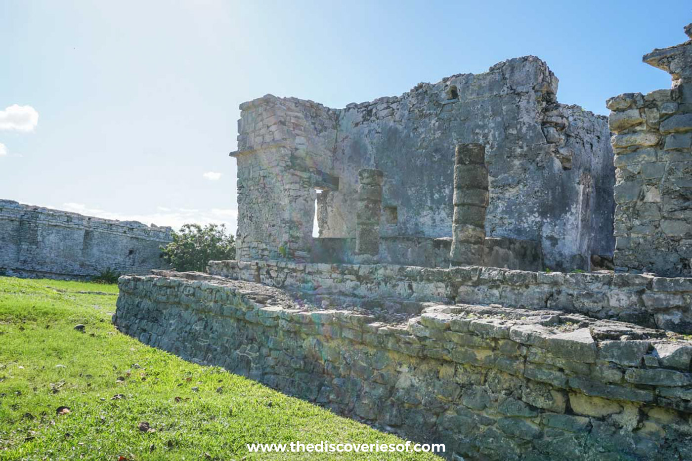
Tulum was at its height between the 13th and 15th centuries, late in the Maya story. The name Tulum, “wall” in Yucatec Maya, came later; the city was probably known as Zamá, often translated as “dawn”, because it faces the sunrise over the sea.
It was a port first and foremost. Canoes carried jade, obsidian, copper, salt and textiles up and down the coast, and a break in the barrier reef opposite the site let them land on the small beach below El Castillo. On the landward side the city was protected by a stone wall 3 to 5 metres high, running about 400 metres parallel to the sea, with five narrow gateways and watchtowers at two corners. You walk in through one of those gateways today.
The Spanish first saw it from the sea in 1518, during Juan de Grijalva’s expedition, and the city was still occupied for decades after contact before it was abandoned towards the end of the 16th century.
What to see at the Tulum ruins
You’ll follow a looped, roped-off path past the main buildings. None can be climbed or entered, so think of it as a walk round an open-air museum.
El Castillo
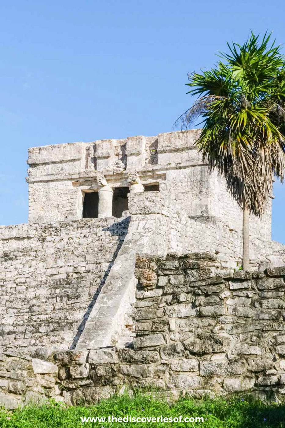
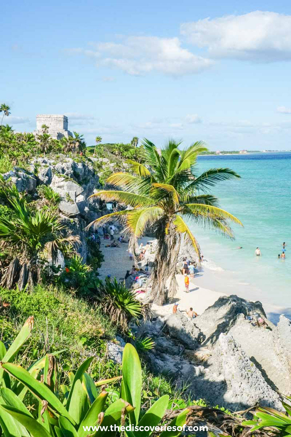
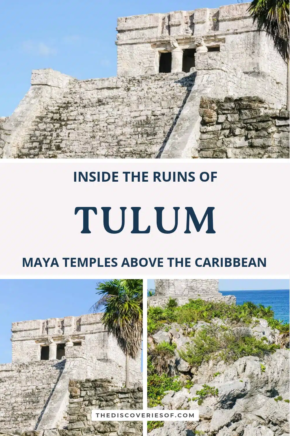
The largest building on the site sits at the cliff edge, and it is the one on every postcard. El Castillo is only about 7.5 metres tall, built in stages over an earlier colonnaded building, but its position does the work. The shrine on top doubled as a beacon, marking the gap in the reef for canoes heading into the cove. The best views of it are from the clifftop path to the north, looking back with the sea behind.
The Temple of the Descending God
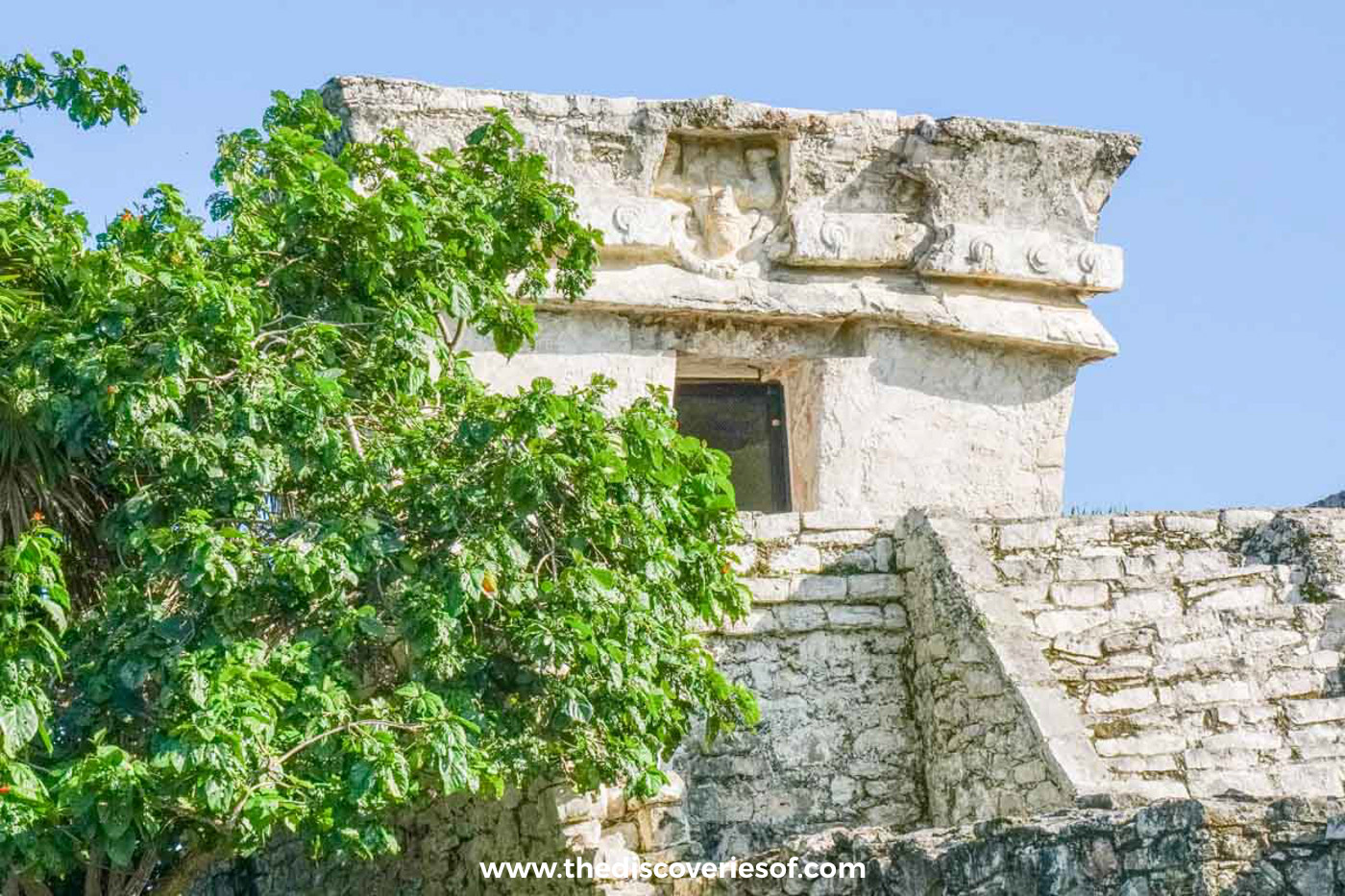
Look above the narrow doorway of this small, single-room temple beside El Castillo and you’ll see a carved winged figure diving head first. The descending or diving god turns up all over Tulum, and nobody is entirely sure who he represents: theories range from the setting sun to a bee god linked to the honey trade.
The Temple of the Frescoes
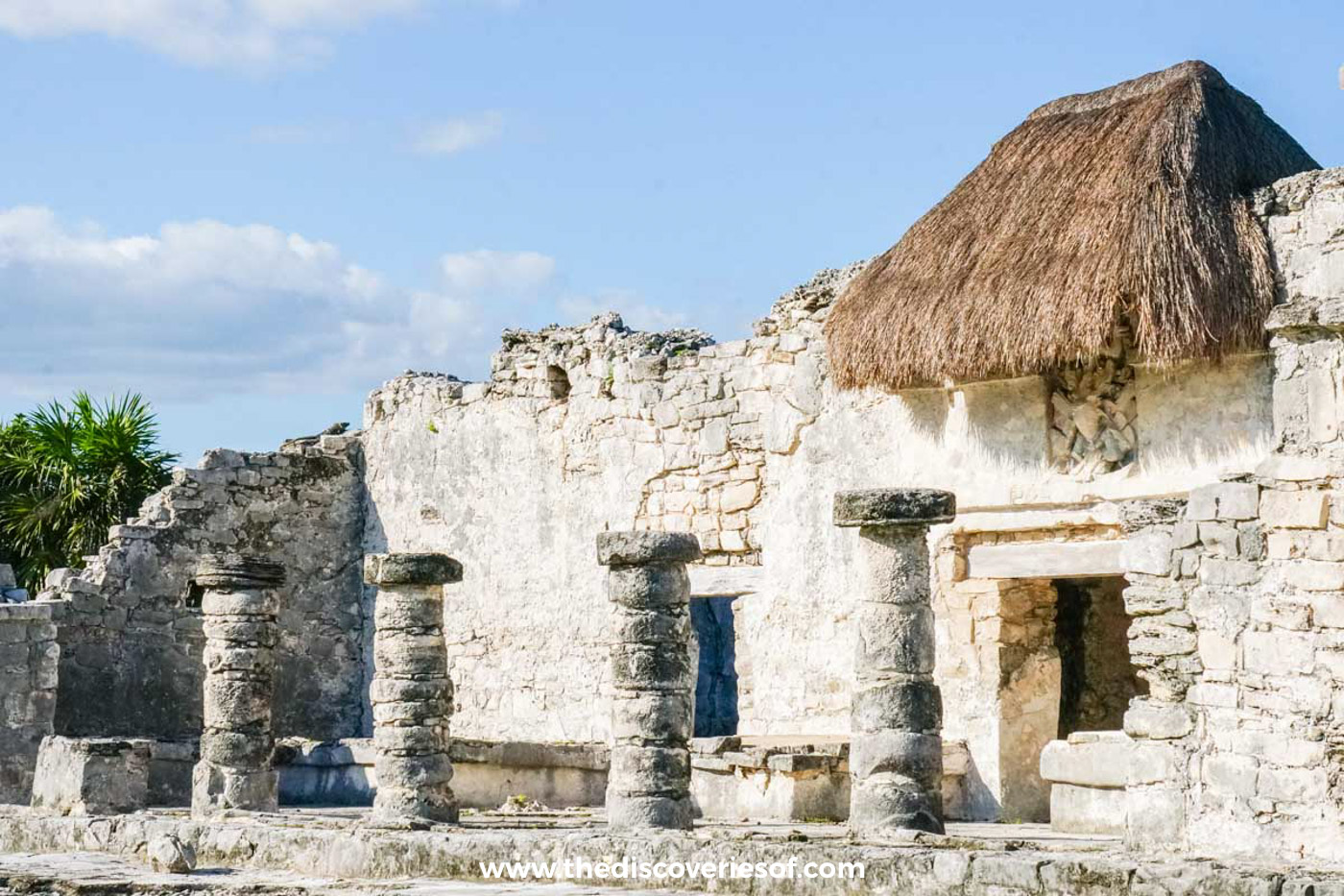
This two-storey building is the most important on the site for archaeologists. Inside are murals in a style close to the Mixteca-Puebla art of central Mexico, a sign of how connected this trading city was. You can’t go in any more, but the facade still carries its diving-god figures in niches.
The House of the Columns
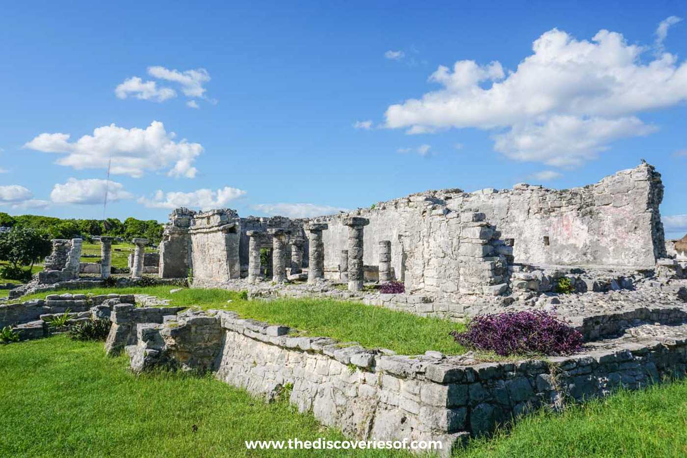
Also called the Great Palace, this long, low building with its rows of stone columns is thought to have been an elite residence. It is one of the larger structures on the site and a good place to see how the city was laid out on a grid inside its wall.
The Temple of the Wind God
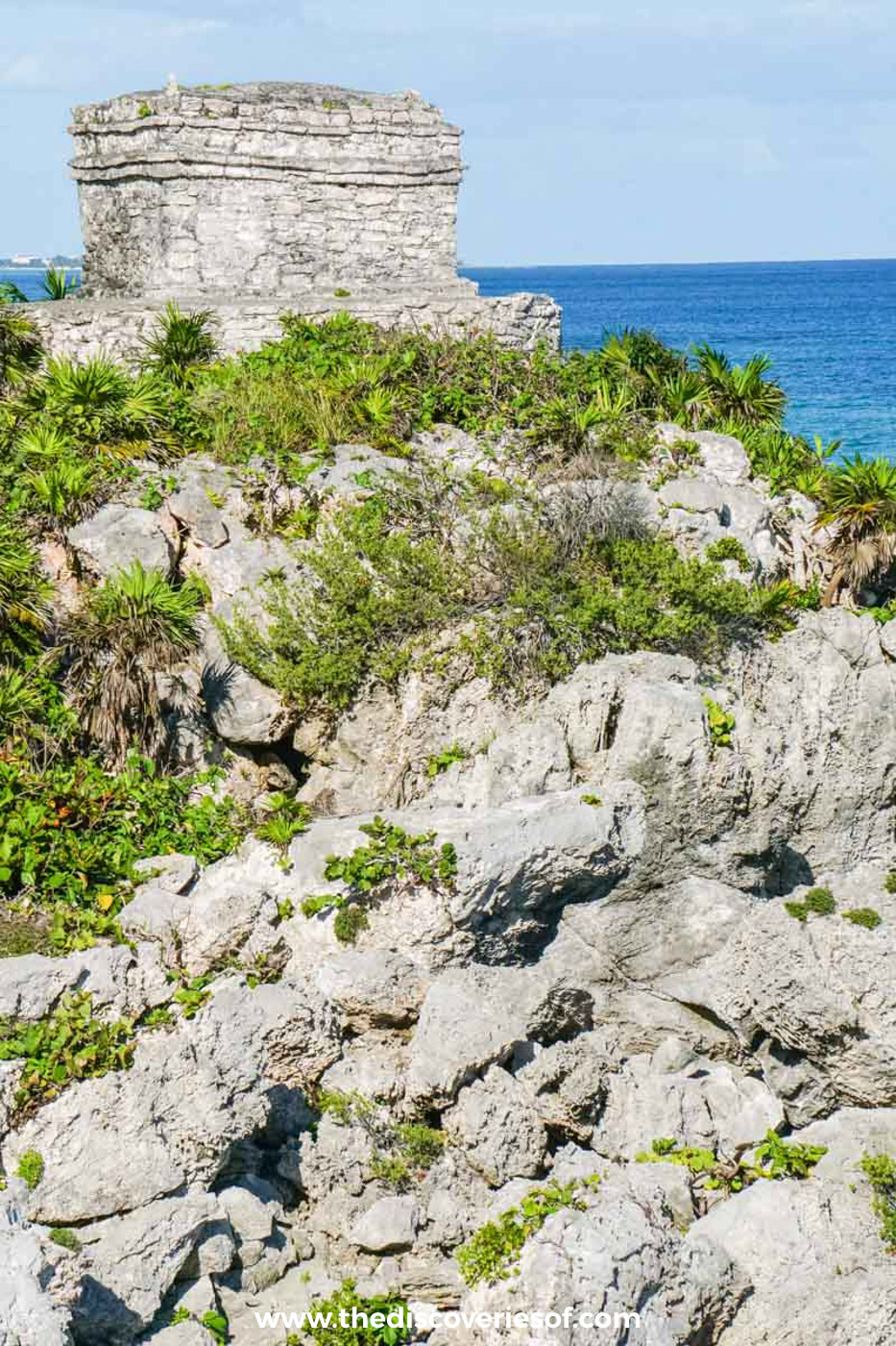
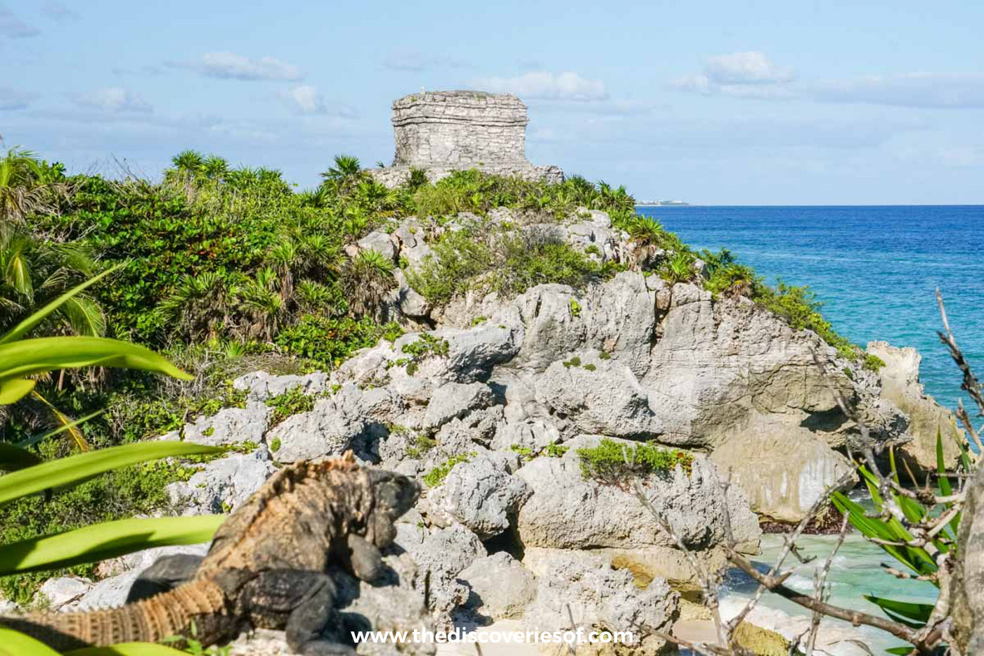
Perched on its own outcrop on the north side of the cove, this tiny round-based temple is the other classic photograph on the site. The round platform is unusual in Maya architecture and is associated with the wind god. Stand at the viewpoint above it and you can get the temple, the cove and El Castillo in one frame.
Swim in the cove below El Castillo
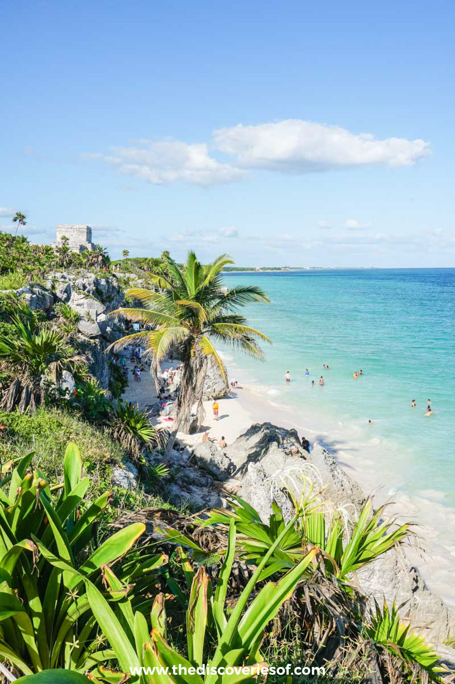
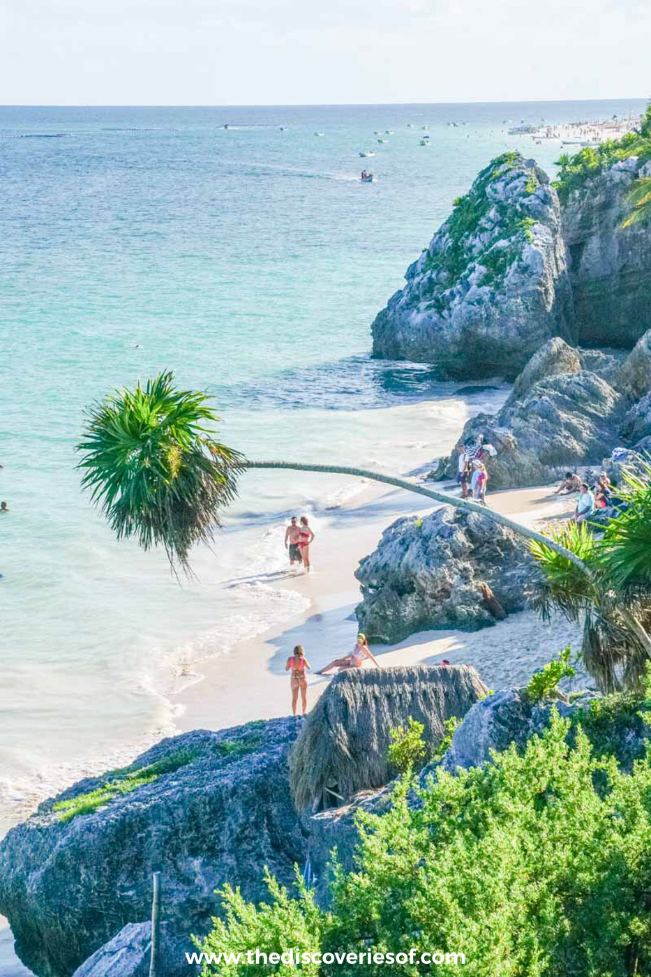
The little beach under the cliffs is the best part of a visit, and it was packed with swimmers when I was there. My advice is to wear your swimsuit under your clothes and plan to finish your visit down on the sand.
A steep wooden staircase inside the site leads down to the cove. It is usually open, but staff close it during sea turtle nesting (mainly summer), in rough seas or when a winter cold front, a norte, stirs up the water, and heavy sargassum can make swimming unpleasant between May and August. The beaches here are protected, so sunscreen isn’t allowed in the water: a rash guard and a hat do the job instead. Stay inside the flagged swimming areas, as currents can be strong.
Tickets, hours and the Parque del Jaguar
The ruins now sit inside the Parque del Jaguar, a national park that also covers the beaches and jungle north of the beach road. Since 20 July 2026, foreign visitors pay 265 pesos for the full visit: 100 pesos for the Parque del Jaguar plus 165 pesos for the national park and archaeological zone. Mexican nationals pay 80 pesos. Visitors heading only to the beach don’t pay.
The site opens at 8am and closes at 5pm, with last entry at 3.30pm. GoPros and selfie sticks carry a small extra charge at the ticket office, and anything you’d call professional camera gear, tripods included, needs advance permission from INAH, Mexico’s heritage agency.
Tickets
Buy them only at the official ticket windows at the entrance, and carry pesos. Fees were revised in July 2026, so check the current figure on the day.
Getting there by taxi, bike or car
The ruins are about 5km south of the town centre, at the northern end of the beach. A taxi from town takes 10 to 15 minutes and costs around 200 to 250 pesos, and colectivos (shared minibuses) running along Highway 307 will drop you at the turning. Cycling is an easy, flat option from town or the beach road.
If you drive, the car park is about a kilometre from the entrance: walk the paved jungle path (around 15 minutes) or take the shuttle, which costs 55 pesos return. The Tren Maya’s Tulum station is several kilometres away, so you’ll need a taxi or colectivo for the last stretch.
Do
To make sense of what you’re seeing, book this 90-minute guided walking tour of the Tulum ruins with a local archaeology guide.
When to go, and how to beat the heat and the coaches
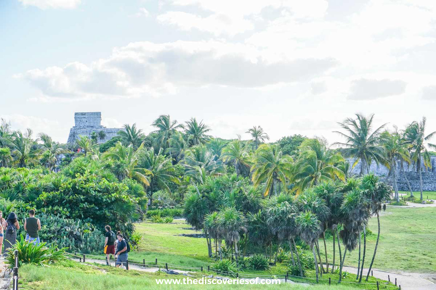
Go at 8am. The day trips from Cancún and Playa del Carmen start arriving mid-morning, and there is almost no shade on the site, so by late morning it is hot, bright and busy. Arriving within the first 45 minutes gives you the paths and the clifftop viewpoints largely to yourself.
The dry season, from November to April, is the most comfortable time to visit, with lower humidity and calmer seas. Hurricane season runs from June to November, and the sargassum season peaks from May to August before easing in September.
Rules to know before you go
- No climbing: every building is roped off, and you can’t enter any of them.
- No drones without written permission from INAH.
- No food inside the site or on the protected beaches. Bring water in a reusable bottle, as single-use plastic isn’t allowed.
- Large backpacks aren’t permitted.
- Keep to the marked paths and don’t touch the stonework.
- Leave the iguanas alone: they’re everywhere, basking on the warm walls, and are used to people but not to being handled.
What to bring
- A swimsuit under your clothes and a small towel
- A hat, sunglasses and a rash guard (sunscreen can’t go in the water)
- Plenty of water in a reusable bottle
- Pesos for tickets, the shuttle and the GoPro fee
- Sandals that can handle the beach stairs
Watch my Tulum video
Map
Read next
- Is Tulum overrated? Only if you never leave the beach
- Things to do in Tulum
- The Muyil ruins and the Sian Ka’an float
- 34 famous landmarks in Mexico that are worth crossing the country for
- 2 weeks in Mexico: the perfect road trip itinerary

Discover the top things to do, insider tips and hidden gems in our Mexico Travel Guide.
Read the guides →