
Mallorca’s mountain road threads 110 km of bends between Andratx and Pollença, past the only two reservoirs on the island and the foot of its highest peak, then drops into a valley of orange groves above the sea.
The Serra de Tramuntana runs the length of Mallorca’s north-west coast: a wall of limestone peaks, terraced hillsides, olive groves and stone villages, listed by UNESCO as a cultural landscape in 2011. The Ma-10 follows it from Andratx in the south-west to Pollença in the north-east, and it’s the drive to do if you want to see the island beyond its beaches.
I stayed at Rondaia, a vineyard in the foothills near Esporles, and in September I drove the highest stretch of the road: up from the wine country around Binissalem, past the Gorg Blau reservoir below the Puig Major and down towards Sóller, with the whole valley opening up below.
This guide follows the road stop by stop from Pollença to Andratx, with the detours worth making, the loop I drove through the mountains in a day, and what to know about parking, cyclists and the queues on the road to Sa Calobra.
The road at a glance
- Route: Andratx to Pollença along the Serra de Tramuntana, about 110 km.
- Time: about two hours of driving without stops, but give it a full day, or two if you want Sa Calobra and the villages at the western end too.
- Highest stretch: the middle of the road, between Lluc and Sóller, where it climbs to about 850 metres below the Puig Major, Mallorca’s highest mountain at more than 1,400 metres.
- Best months: April to June and September to October, when the light is good and the traffic thinner than in high summer.
- Fuel: petrol stations are few and far between in the mountains, so fill up in Palma, Sóller, Inca or Pollença before you set off.
Driving the Serra de Tramuntana on the Ma-10, stop by stop
The road can be driven in either direction. I’ve laid it out from north-east to south-west, the direction I drove the mountain section, so the reservoirs come before the long descent to Sóller.
Climb the Calvari steps in Pollença
The Ma-10 starts on the edge of Pollença, a handsome inland town of stone houses a few kilometres back from its port. Before you leave, climb the 365 cypress-lined steps of the Calvari to the little chapel at the top, for a view back over the town’s rooftops to the bay.
The separate road to Cap de Formentor starts nearby, but private cars are restricted on it in high summer, so check the rules first.
See Mallorca’s patron saint at Lluc
About half an hour west, the Santuari de Lluc sits in a high, wooded valley and has drawn pilgrims for centuries. Behind the main altar of the basilica is the Mare de Déu de Lluc, a small dark figure of the Virgin, just 61 cm tall, known as La Moreneta and venerated as the patron saint of Mallorca.
Lluc is also home to the Blauets, one of Europe’s oldest choir schools, founded in the 16th century and named after the blue cassocks its singers wear. There’s a museum, a botanic garden and a managed car park. This is also where the road from Caimari and Selva joins the Ma-10, the way I came up from the plain.
Take the hairpins down to Sa Calobra
About 10 km beyond Lluc, the Ma-2141 peels off towards the sea, rising briefly to the Coll dels Reis before it plunges down. Designed by the engineer Antonio Parietti and opened in 1932, it drops about 800 metres in 12 km of hairpins, and at the Nus de sa Corbata it loops right round under itself in a 270-degree bend.
At the bottom, you walk through tunnels cut into the cliff from the cove to the mouth of the Torrent de Pareis, where the gorge meets the sea in a pebble beach hemmed in by rock walls more than 200 metres high.
Top Tip
The Sa Calobra road jams badly in summer, when coaches meet hire cars on the bends, and there’s been talk of limiting access. Go early in the morning or late in the afternoon, or take the boat from Port de Sóller instead and save the drive.
Stop at the Gorg Blau reservoir
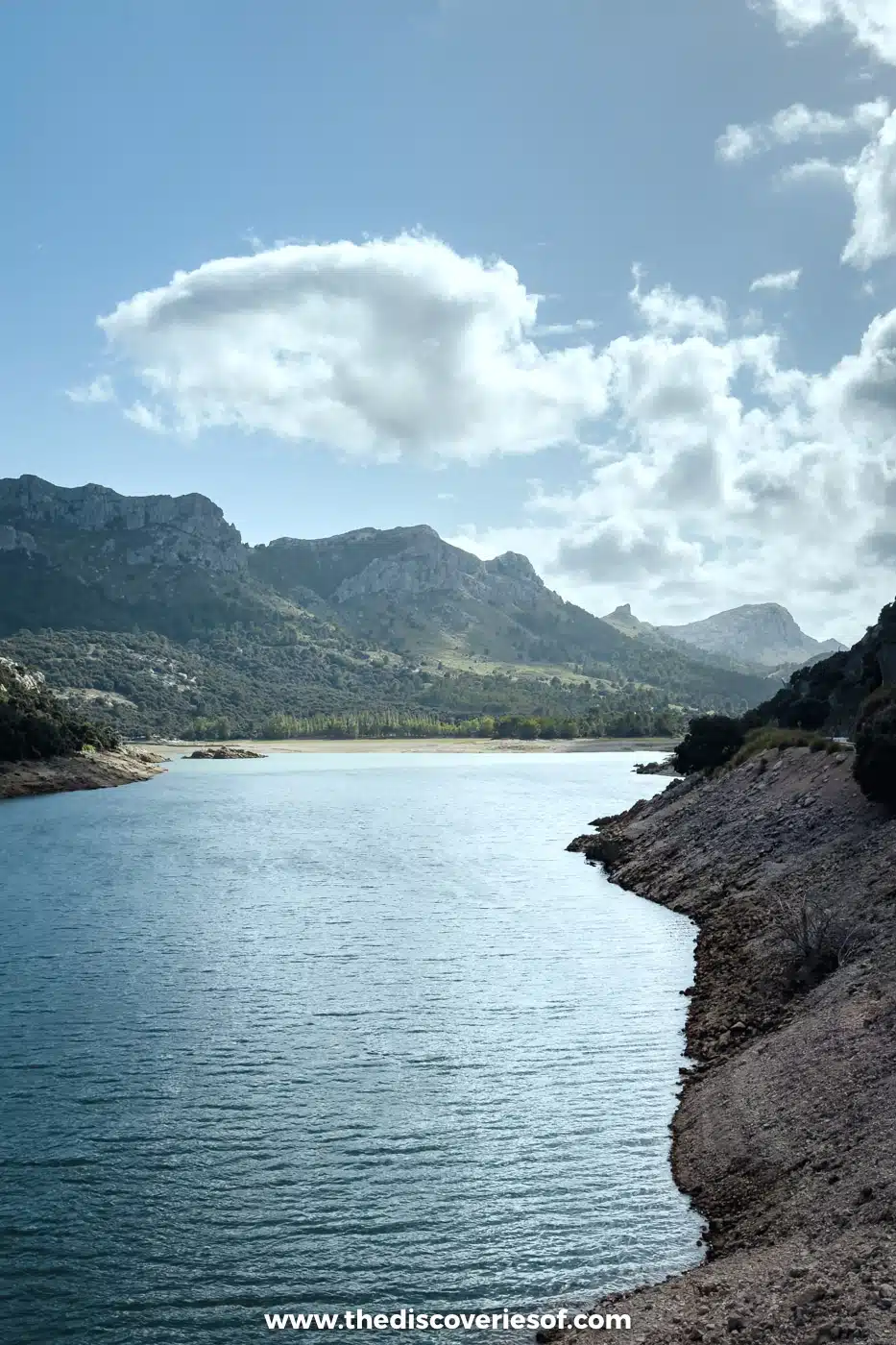
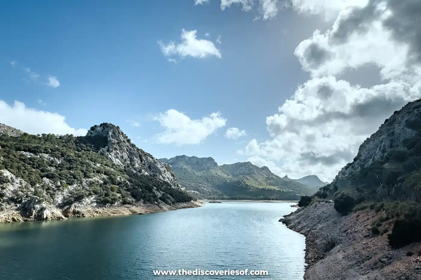
Back on the main road, the route runs along the edge of the Gorg Blau, a long, narrow reservoir in a valley of bare grey rock. It was dammed in 1971, with a curved arch dam, and together with Cúber a few kilometres on, it’s one of only two reservoirs on Mallorca. Water is pumped up from here to Cúber, and the pair supply Palma.
I pulled over here in the late afternoon: still blue water, pale scree slopes and the peaks rising straight out of it. Near the Sa Calobra turning, the road also passes under the old Turixant aqueduct, built to carry water to a hydroelectric plant in the 1920s.
Walk around the Cúber reservoir
The second reservoir sits in a wide, open bowl a little further west, with a small car park at the entrance at about kilometre 34 and a picnic area at Sa Font des Noguer just up the road. An easy track runs all the way round the water, past the Cúber refuge, and takes about two hours at a gentle pace. Arrive early, as the car parks fill.
This is also a junction on the GR221, the long-distance dry-stone route across the Tramuntana. From here it heads over to the Puig de l’Ofre or down the Barranc de Biniaraix to the Sóller valley.
Pass beneath the Puig Major
West of Cúber, the road climbs to its highest point below the Puig Major, Mallorca’s highest mountain. The summit carries a military radar station, so you can’t go up it, but the road skirts its flanks through a tunnel before beginning the long descent to Sóller.
In the other direction, this is one of the island’s classic cycling climbs, 14 km of hairpins rising about 840 metres from the valley floor to the tunnel.
Pull over for the view down the Sóller valley
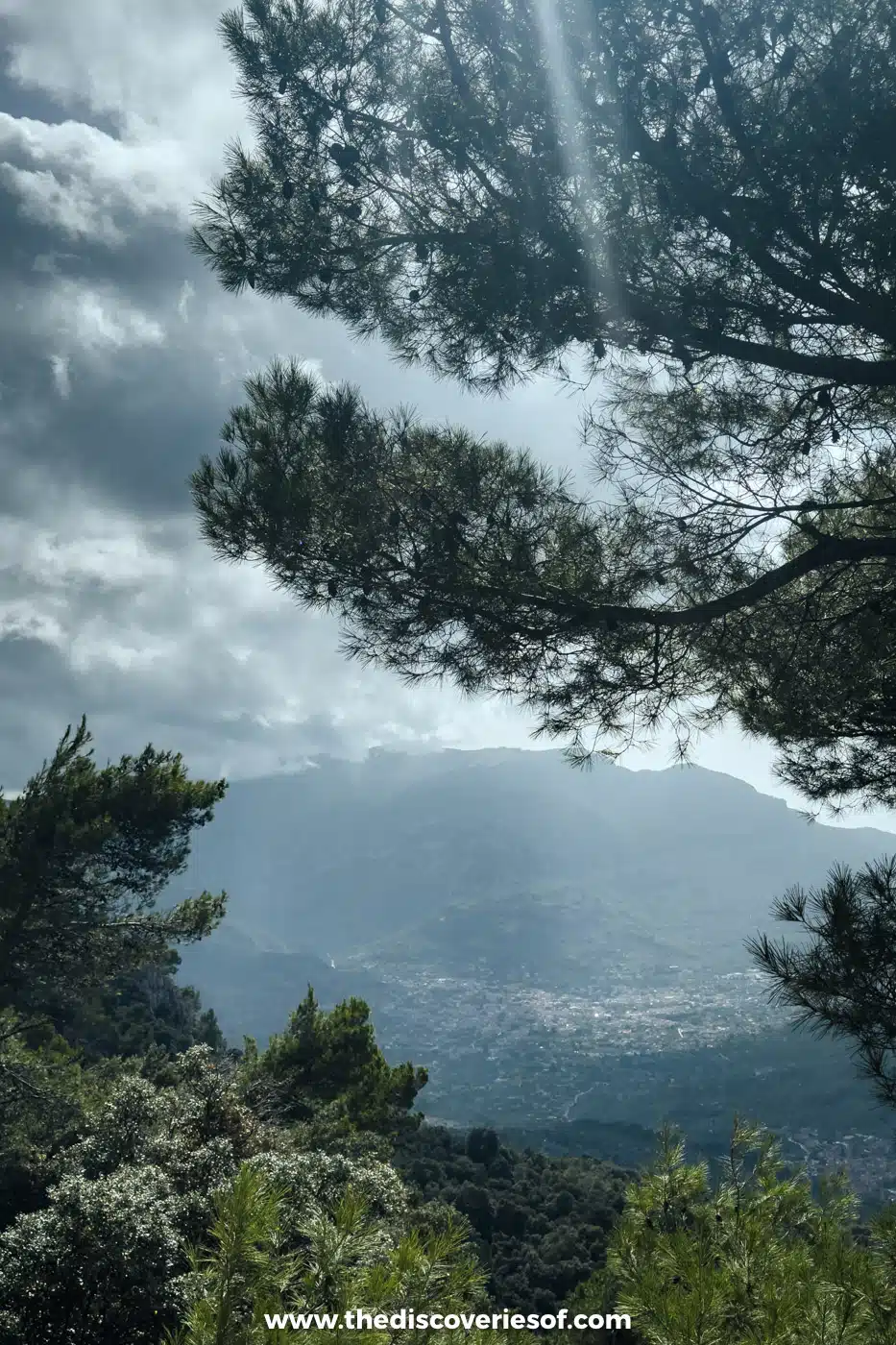
A few minutes below the tunnel, the pines part and the whole bowl of the Sóller valley appears below, with the town spread across it and the mountains closing in on every side. I stopped at a pull-off here on the way down, as the late sun broke through the cloud over the valley.
Lower down, the Mirador de Ses Barques looks out over Port de Sóller and the bay from about 400 metres up. It has a larger car park, a terrace restaurant and the start of the Camí Vell de Bàlitx, an old path along the hillside.
Detour to Fornalutx
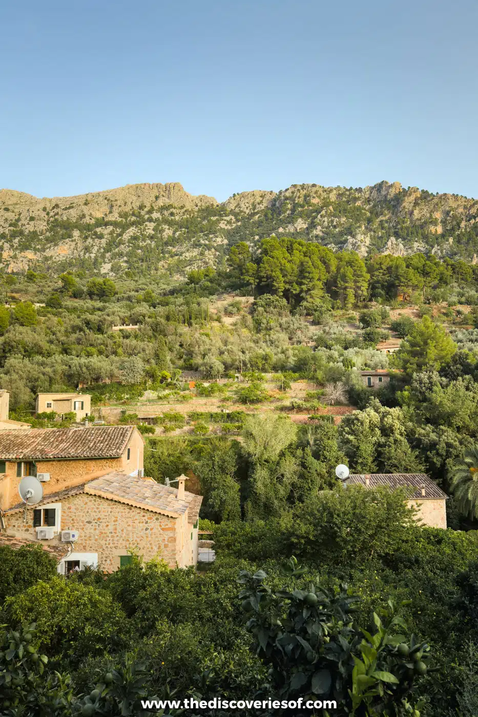
A short turning off the descent leads to Fornalutx, a village of stone steps, green shutters and terraced orange groves, and a member of the Los Pueblos Más Bonitos de España network. I came up here in the evening, as the low sun turned the houses and the cliffs above them gold.
The lanes are too narrow to drive through, so leave the car on the edge of the village and walk in.
Ride the tram from Sóller down to the port
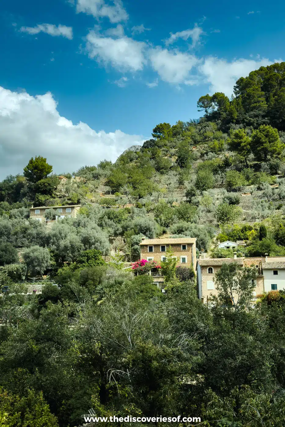
Sóller sits at the bottom of the descent, a town built on the orange trade, with a modernist church and a wooden tram that runs down to Port de Sóller. Leave the car on the outskirts and ride the tram down. I rode it to the port, and it’s the easiest way to reach the harbour and the coast path to the Cap Gros lighthouse.
For the town’s sights, the boat trips and the walks, see my full guide to things to do in Sóller.
Wander up to the churchyard in Deià
West of Sóller, the road clings to the coast, and after about 20 minutes you reach Deià, a village of golden stone climbing a hill below the mountains. Walk up to the church at the top, where the poet Robert Graves is buried, and look round his house just outside the village. Below the village, a lane winds down to the rocky cove of Cala Deià.
Parking in Deià is a short stretch beside the main road, and it fills by mid-morning in summer.
Look through the rock at Sa Foradada
Just past Deià, Son Marroig was the home of the Austrian Archduke Ludwig Salvator, who fell for this coast in the late 19th century. The house is now a small museum, with a white marble rotunda on its clifftop terrace.
Below it, Sa Foradada is a rocky headland about 400 metres long with a hole about 18 metres across punched through it. A path from the estate takes 45 minutes to an hour to walk down to the point, with a small seasonal restaurant at the bottom, and it’s a steep walk back up, so take plenty of water.
Visit the monastery in Valldemossa
Valldemossa is the busiest stop on the road, and with good reason. Its Real Cartuja, the royal Carthusian monastery, is where the composer Frédéric Chopin and the writer George Sand spent the winter of 1838 to 1839, and the cells, the old pharmacy and the library are open to visitors.
Afterwards, try a coca de patata, the village’s soft, sugar-dusted potato bun, in one of the bakeries on the main street. The car parks fill from about 10.30am, so this is the stop to make first thing if you’re driving from the south-west.
See Banyalbufar’s terraces from the Torre del Verger
South-west of Valldemossa, the road narrows and winds above Banyalbufar, a village of stone terraces stepping down to the sea. They were built for vines, and the local Malvasia de Banyalbufar grape is grown here again; Rondaia, where I stayed, makes its white wine from it.
About a kilometre on towards Estellencs, the Torre del Verger, also called the Torre de ses Ànimes, is a 16th-century watchtower on a rocky point, built to warn of pirate raids. It sits about 50 metres from the road, with a small car park that fills fast at sunset, so leave nothing on show in the car.
Finish at the Mirador de Ricardo Roca and Andratx
The last stretch passes Estellencs, another terraced village tucked below the peaks, and the Mirador de Ricardo Roca, a viewpoint perched high above the sea. From there the road drops inland to Andratx, where the Ma-10 ends, a short drive from its port and the motorway back to Palma.
My one-day loop through the mountains
If you’re staying near Palma or in the foothills, this is the loop I drove, and it packs the best of the mountain section into a single day.
Start with a tasting in Binissalem
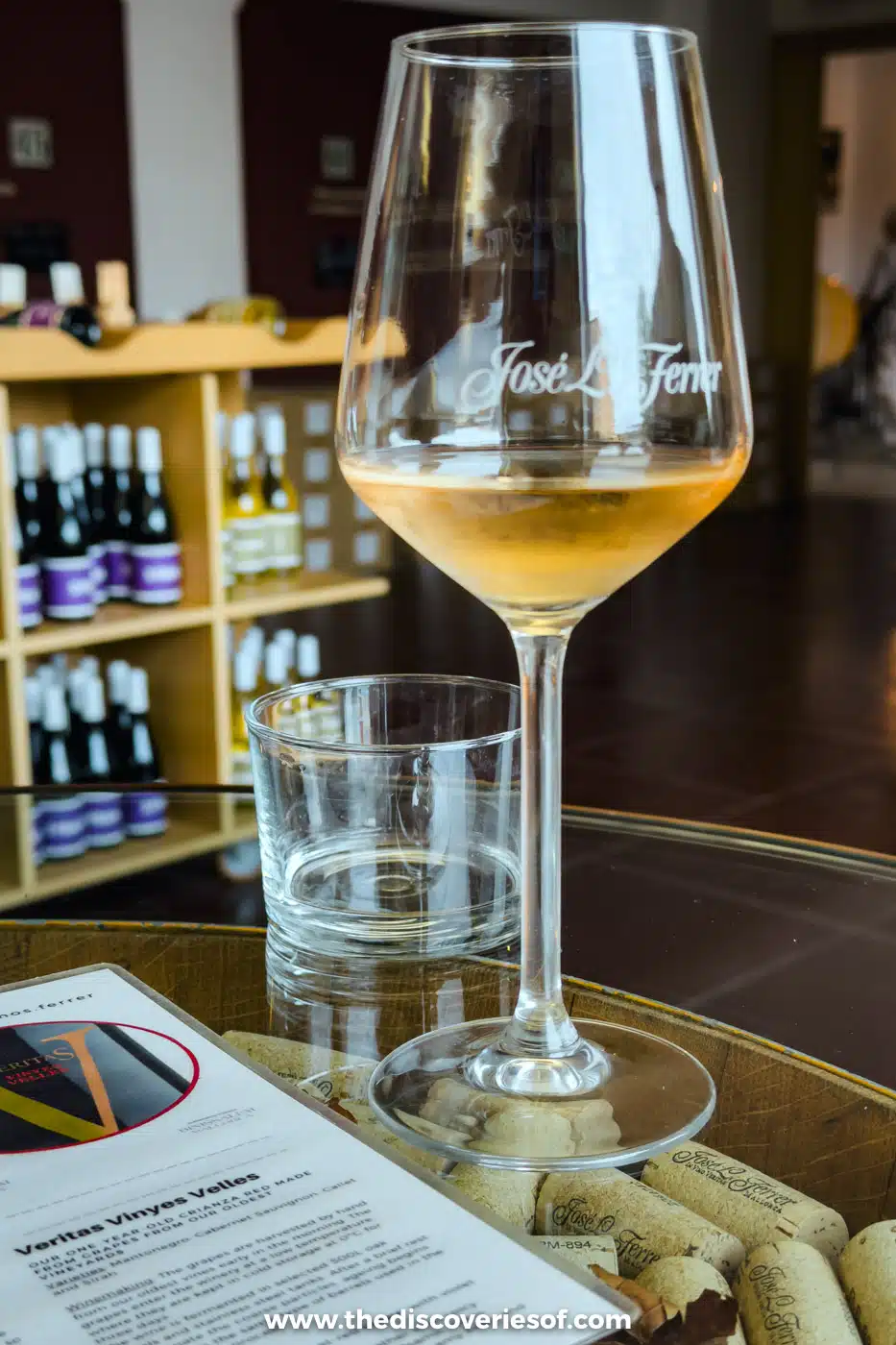
Binissalem, half an hour north-east of Palma on the Ma-13, is the heart of one of Mallorca’s two wine regions, and I started at José L. Ferrer, the town’s best-known winery, founded in 1931. I stopped for a tasting, with the glasses set out on a table filled with old corks.
The local grapes are Manto Negro for reds and Moll for whites, and the winery runs cellar tours with tastings most days. Book ahead.
Climb up from Selva
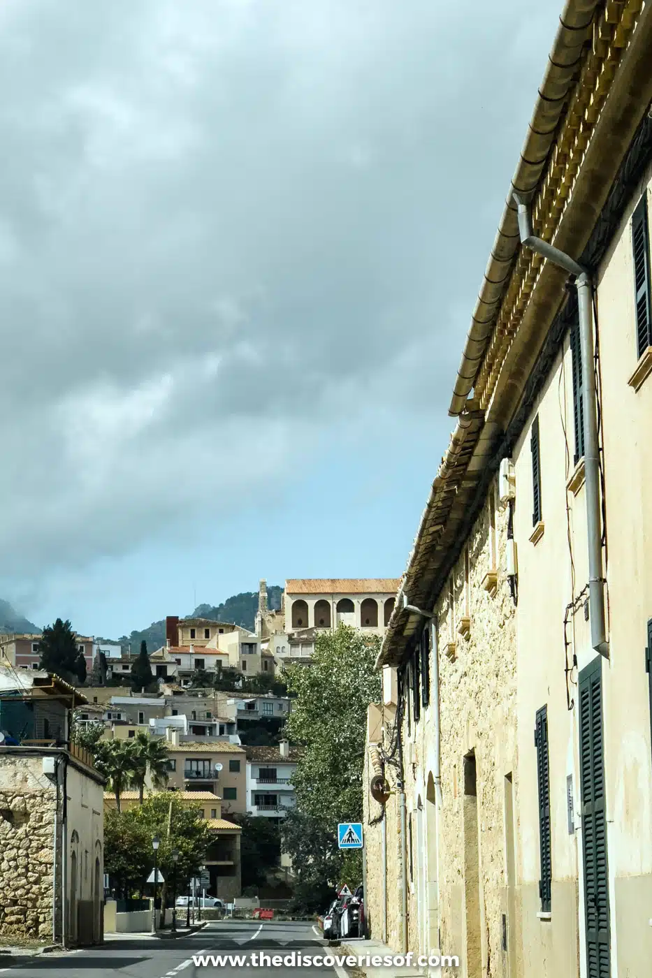
From Binissalem, I carried on to Selva, a hilltop village at the foot of the mountains, its stone houses climbing towards a church above the plain. From there, the Ma-2130 winds up through Caimari and its olive terraces to Lluc, where it meets the Ma-10.
Cross the mountains and drop into Sóller
At Lluc, turn west and follow the road past the Gorg Blau and Cúber reservoirs, under the Puig Major and down the hairpins to the Sóller valley, stopping for the views on the way down. From Sóller, the tunnel on the Ma-11 has been free since 2017 and takes you back towards Palma and the foothills in about half an hour.
Planning your drive
- The car: hire the smallest car you’re comfortable with. The road is well surfaced but narrow, with tight hairpins, steep drops and coaches on some stretches.
- Cyclists: the Tramuntana is one of Europe’s great cycling destinations, so expect riders on the climbs all year. Spanish law says you must leave at least 1.5 metres when you overtake a cyclist. On the day of the Mallorca 312, a huge cycling event in late April, parts of the mountain roads close to cars.
- Parking: use the marked car parks on the edge of each village, never the verges or the bends, and arrive early at the busy ones: Valldemossa, Deià, Sa Calobra and the Cúber reservoir. Some, including Lluc and Sa Calobra, charge.
- Getting there from Palma: the Ma-11 through the Sóller tunnel reaches the middle of the road fastest; the Ma-1110 climbs to Valldemossa; and the Ma-13 to Inca and the Caimari road bring you up to Lluc.
Map
Read next
- Things to do in Sóller and Port de Sóller
- Rondaia review: a vineyard stay near Esporles
- The best beaches in Spain
- Historic castles in Spain you have to visit
- Hikes and walks in Menorca
- The Spain travel guide
Love this? Save and share on Pinterest
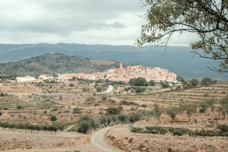
Discover the top things to do, insider tips and hidden gems in our Spain Travel Guide.
Read the guides →