

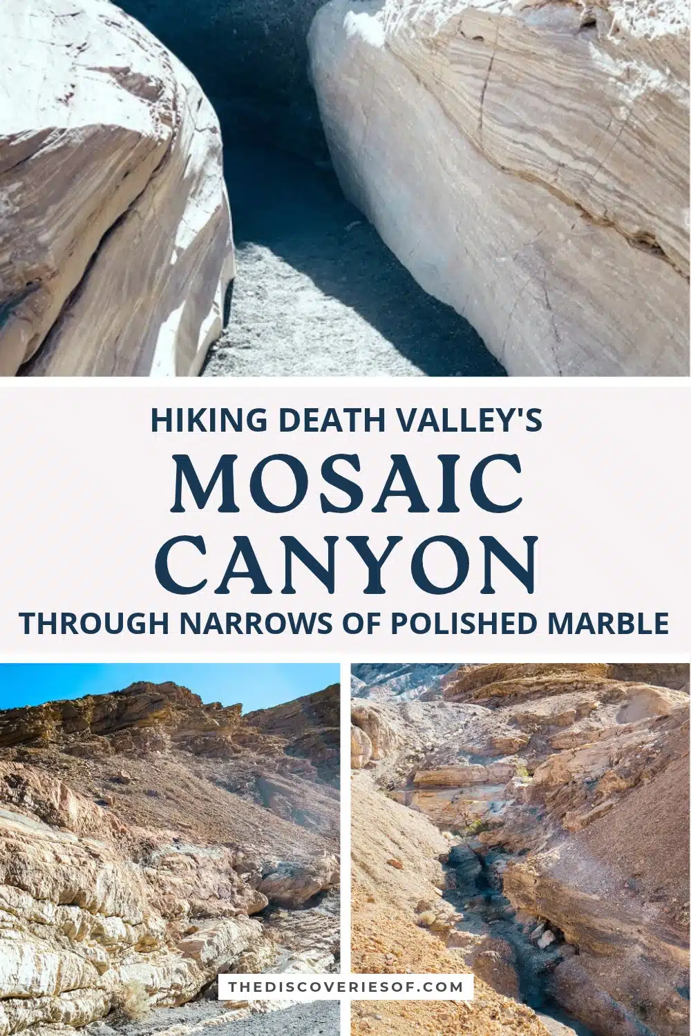
A few minutes’ walk from the car park above Stovepipe Wells, the walls of Mosaic Canyon close in to narrows of white and grey marble, scoured smooth by flash floods. Here’s the route stage by stage, where to turn round and what to know before you set off.
Of all the walks I squeezed into three days in Death Valley National Park, Mosaic Canyon is the one I’d send you on first. I’m rarely short of something to say, but the first set of narrows silenced me. The marble is so smooth it looks wet, it curves over your head in pale bands of cream and grey, and in places the walls are close enough to touch on both sides at once.
I hiked it on a clear November morning, straight after the Mesquite Flat Sand Dunes a few miles down the road. For my money, it’s the finest canyon walk in the park, and you don’t need to be a serious hiker to see its best part: the first narrows begin almost as soon as you leave the car.
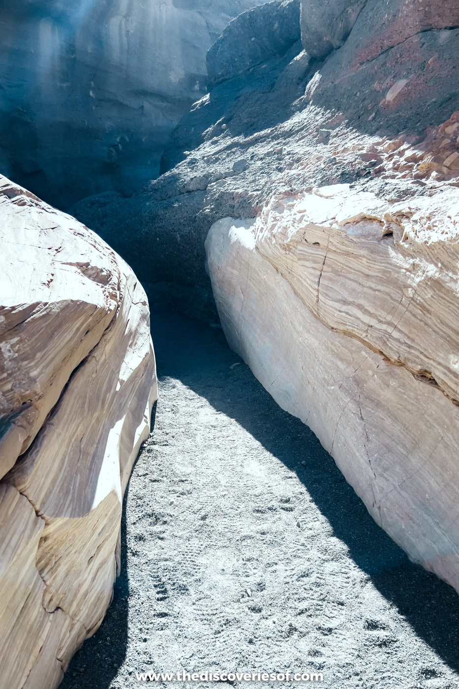
Mosaic Canyon at a glance
- Distance: 4 miles (6.4km) there and back to the final dry fall; the first narrows are a quarter of a mile in
- Elevation gain: about 1,200 feet
- Time: 2.5 to 3 hours for the full route, under an hour for the first narrows and back
- Difficulty: easy to the first narrows; moderate to difficult beyond the boulder jam, with scrambling
- Trailhead: gravel car park at the end of a 2.3-mile unpaved road from Stovepipe Wells, with no toilets or water
- Fee: covered by the park pass ($30 per vehicle for seven days, card only)
- Best time: November to March, in the morning
- Dogs: not allowed
The route, from the marble narrows to the final dry fall
There are no trail markers: the route simply follows the canyon floor. The National Park Service publishes free GPS files on its page for the canyon, worth downloading before you lose signal.
Top Tip
Take a photo of the map on the trailhead board before you set off, as I did. Phone signal is patchy at best in the park.
The wash and the first narrows
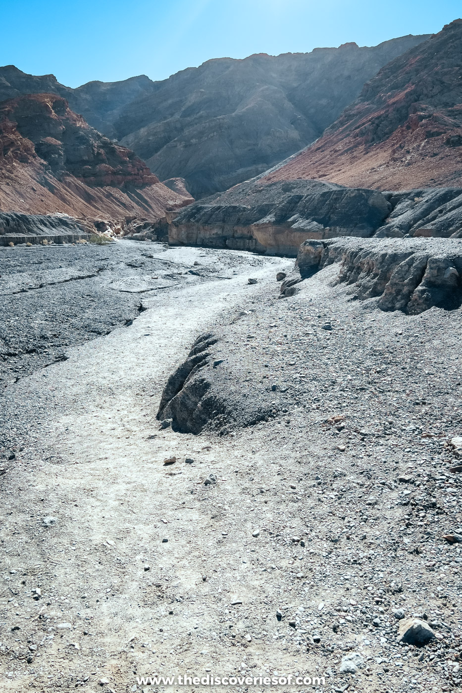
The walk begins up a rocky wash between dark slopes. Within a quarter of a mile, the walls close in and you’re in the first narrows, where the marble has been polished into smooth, sinuous curves. This is the stretch that stopped me in my tracks, and the most memorable part of the whole canyon. The rock is slippery, so take it slowly where you step up over smooth ledges.
The open canyon beyond
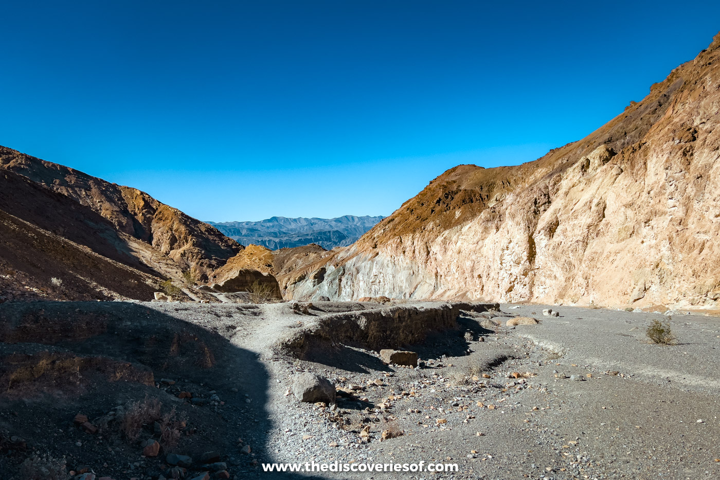
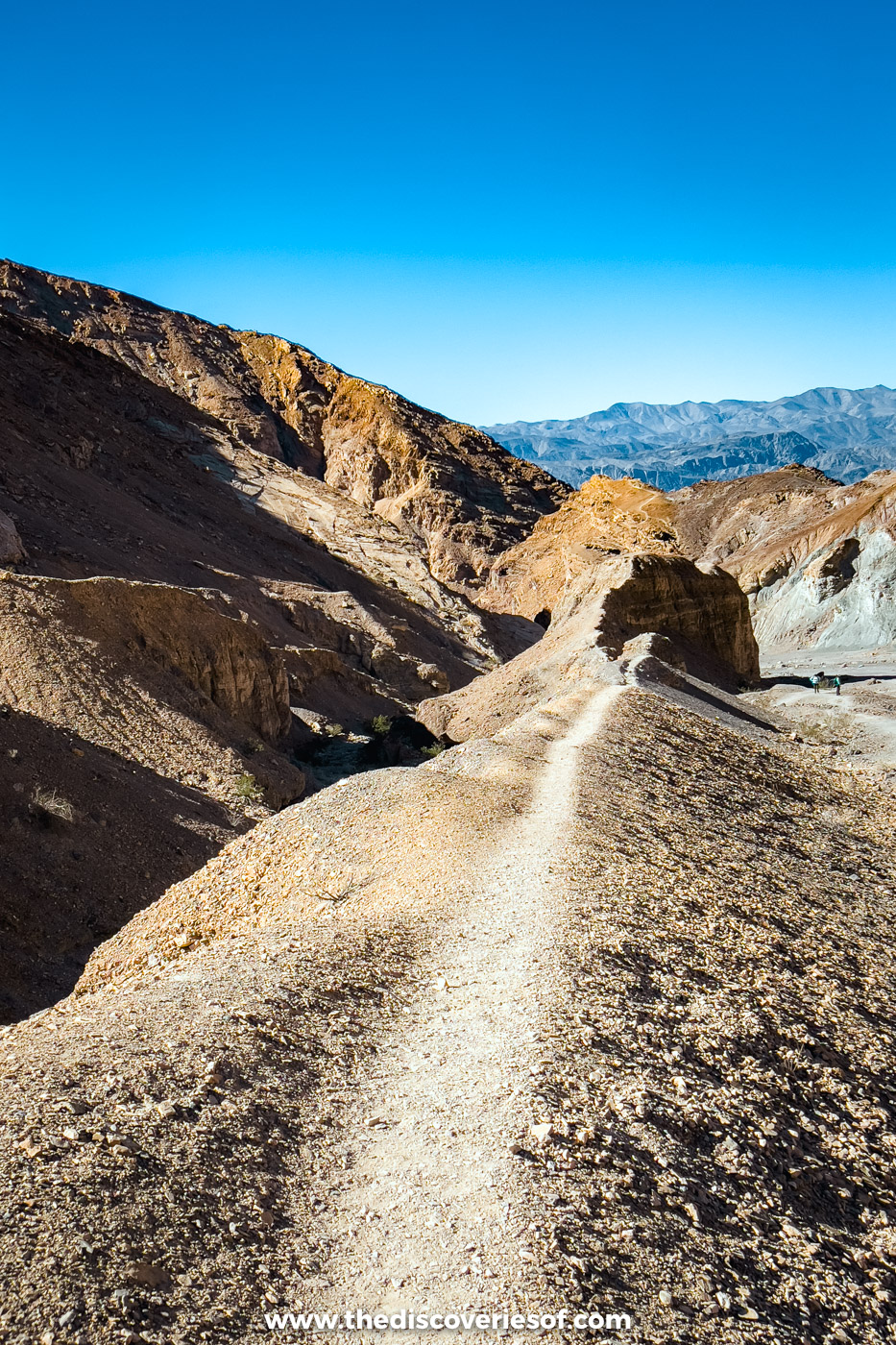
After the narrows, the canyon opens into a broad gravel corridor between tall walls of pale rock, with views back across the valley. The path climbs gently, at times along a bench above the wash, with a few easy scrambles.
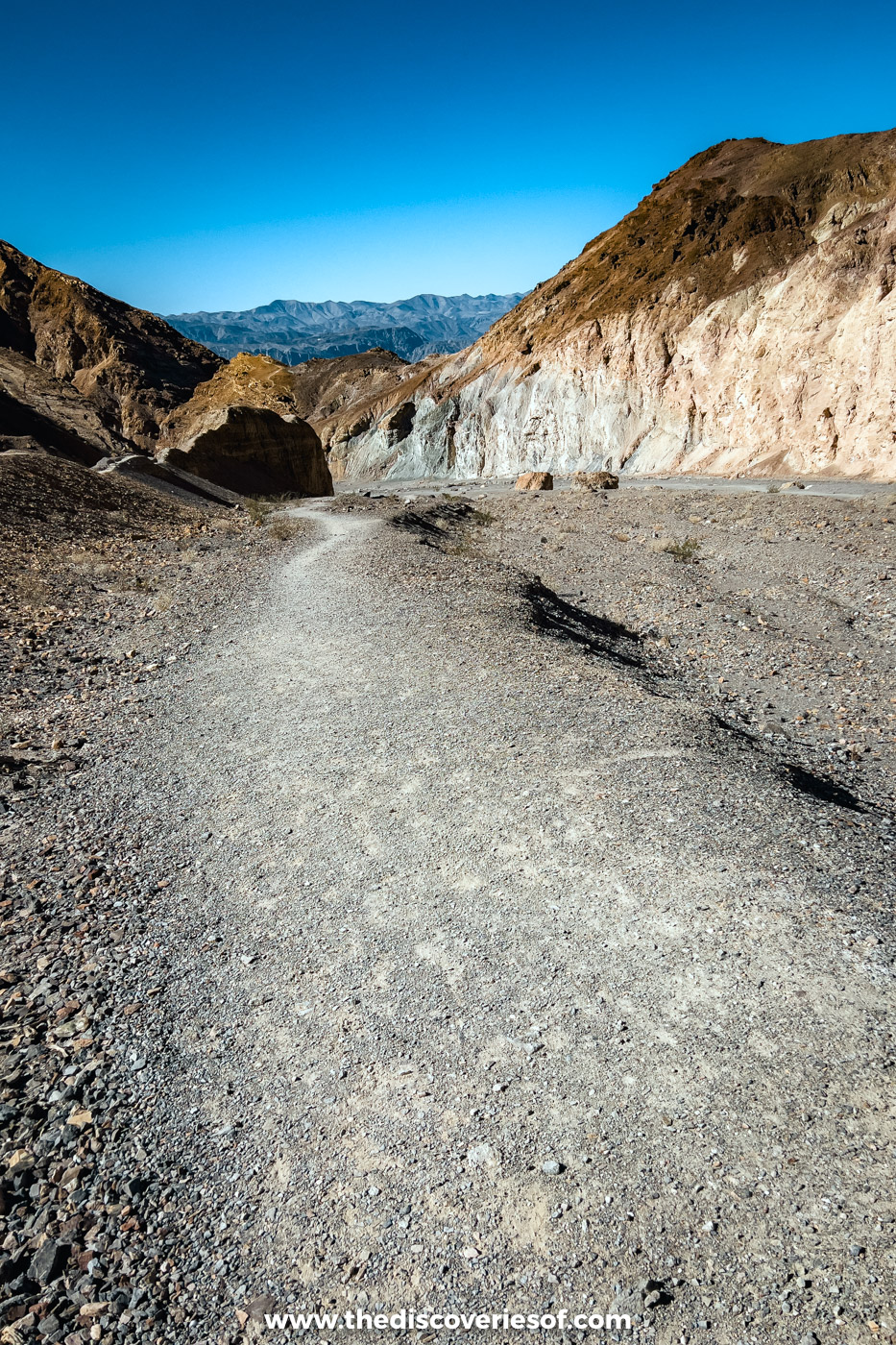
This is where I turned back, with Golden Canyon still to come that afternoon. The first narrows and this open stretch were enough to make it one of the highlights of my trip, and it’s a good place to turn round if you’re short on time.
The boulder jam and the upper narrows
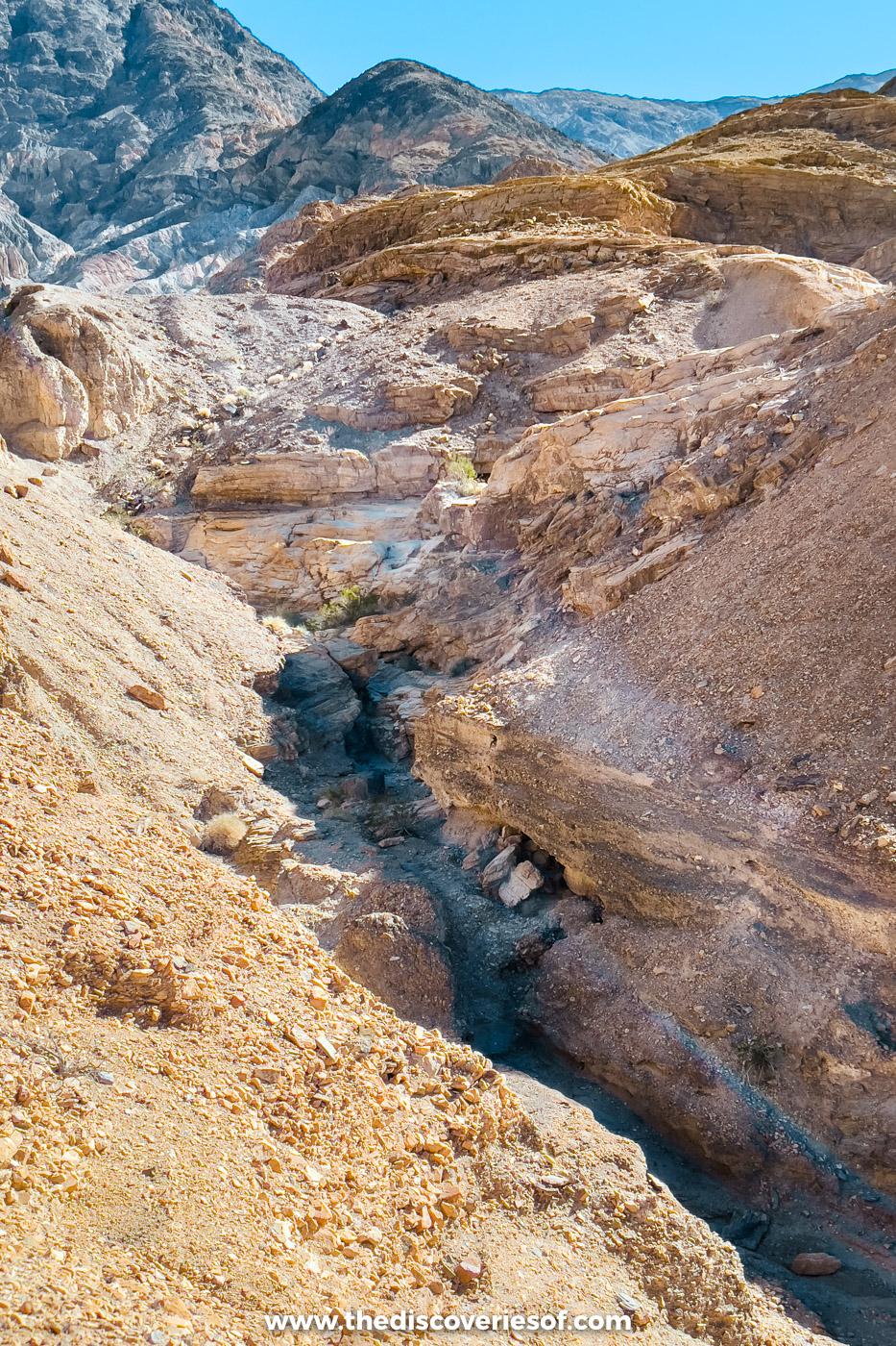
At about 1.3 miles, a jam of large boulders blocks the canyon, and many hikers stop here. To carry on, crawl between the boulders on the left (east) side: a tight squeeze rather than a climb. Beyond are the second narrows and a slanting 20-foot dry fall. Don’t climb it: backtrack about 180 feet and take the faint, exposed path up the western wall, which skirts the fall 40 feet above the floor. If heights bother you, turn round here.
About 0.3 miles on, the third narrows twist through contorted polished rock, and the route ends roughly 2 miles from the trailhead in an amphitheatre below a vertical 25-foot dry fall. Go back the way you came rather than up onto the ridges. My guide to the best hikes in Death Valley compares this walk with the park’s other trails.
How an ancient seabed became polished marble
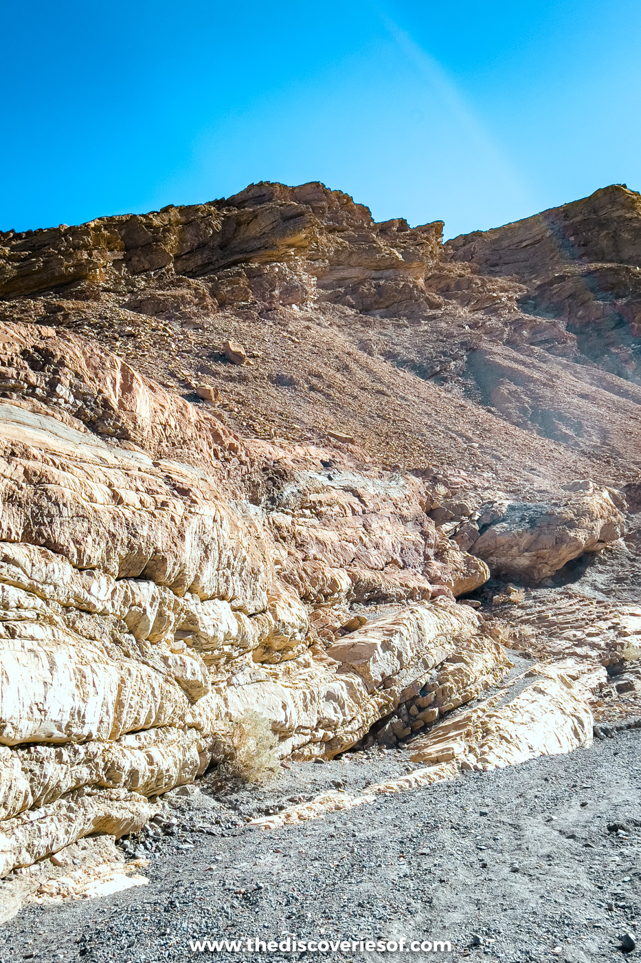
The rock here is mostly Noonday Dolomite, laid down on a sea floor 750 to 900 million years ago, then buried so deep that heat and pressure turned it into marble. The canyon follows faults in that rock on the northern flank of Tucki Mountain, and every flash flood drags sand and boulders through the narrows like sandpaper, which is why the walls are so smooth. The name comes from the Mosaic Canyon Breccia: fragments of different coloured rock cemented together like a mosaic. The best examples are on the canyon floor just south of the car park.
Getting to the trailhead
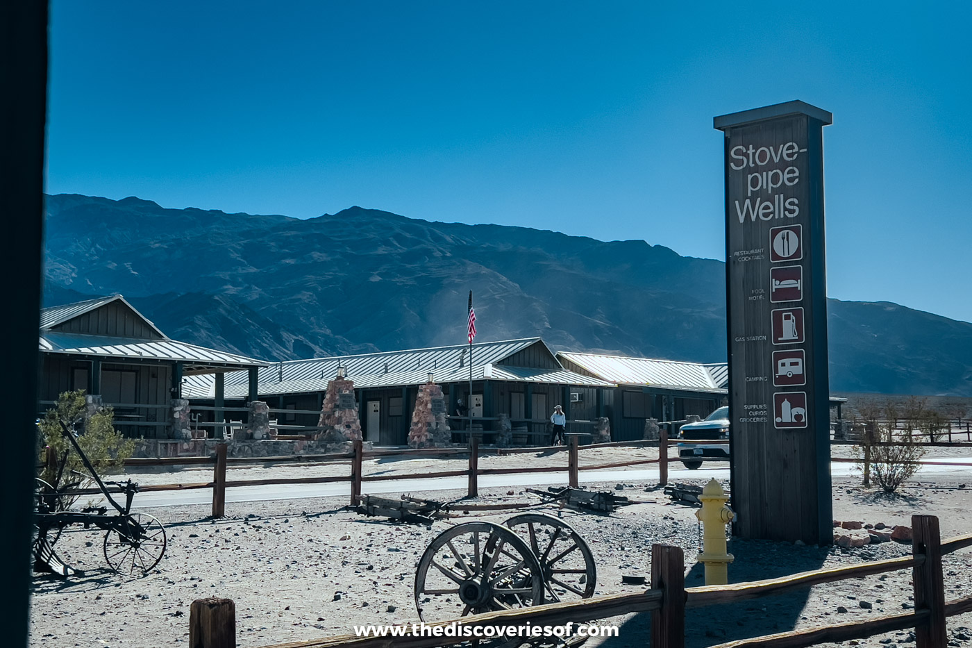
Mosaic Canyon Road leaves Highway 190 at Stovepipe Wells Village, across from the campground: 2.3 miles of gravel climbing about 1,000 feet to the car park. It’s usually fine in an ordinary car taken slowly, but not for buses or large RVs, and it can be washed out after storms.
Stovepipe Wells is about half an hour from Furnace Creek on Highway 190, and about two and a half hours from Las Vegas via Beatty and Daylight Pass. There’s nothing at the trailhead, so get fuel and water and use the toilets at the Stovepipe Wells general store first.
Heat, flash floods and the rules to know before you go
Go in the morning, when it’s coolest and quietest. From May to September, the valley floor regularly passes 110°F and the park recommends that nobody hikes on low ground after 10am, so in summer go at first light and be back by mid-morning. Even on a cool day, take a couple of litres of water each for the full route, and closer to a gallon when it’s warm.
Flash floods carved this canyon and can still sweep through it with little warning, even when it isn’t raining where you are. Check the forecast and the park’s road conditions that morning, stay out if rain is possible over the mountains, and get to high ground if you hear a roar upstream.
Wear shoes with good grip, as the polished marble is slippery, especially on the way down. Collecting rocks is prohibited, drones are banned and there’s no camping in the first three miles of the canyon. For the rest of your day, see my guide to things to do in Death Valley National Park.
Map
Read next
- The best hikes in Death Valley National Park
- A guide to the Mesquite Flat Sand Dunes
- Hiking Golden Canyon and Gower Gulch
- 3 days in Death Valley National Park
Love this? Save and share on Pinterest

Discover the top things to do, insider tips and hidden gems in our USA Travel Guides.
Read the guides →