

The Spanish named this headland after the sea wolves barking on its rocks, and they’re still there, still shouting. Here’s the full loop around Point Lobos, stop by stop, from the cypress grove to the cormorants and back along the north shore.
I gave Point Lobos the best part of a day on my West Coast road trip and walked the whole circuit, which took me about six hours with all my photography stops. It’s still how I’d tell anyone to see it. After the quiet, manicured streets of Carmel, the reserve feels like another world: surf exploding against granite, cypress trees bent double by the wind and, out on the rocks, a sea lion colony that makes its presence known, loudly and constantly.

Point Lobos State Natural Reserve sits three miles south of Carmel-by-the-Sea, and it’s the perfect addition to any West Coast road trip itinerary.
The loop isn’t a single signed trail. It’s a way of stringing the reserve’s short paths together into one long walk, so you see every side of the headland: the sheltered coves of the north, the wild South Shore and the pine forest in between. None of it is technical. The challenge is the constant temptation to stop at yet another cove of impossibly green water.
The Point Lobos loop trail at a glance
- Distance: roughly 6.5 to 7 miles, depending on the spurs you add
- Time: 3 to 4 hours of walking; give it 5 or 6 if, like me, you stop for photos at every cove
- Difficulty: moderate, because of the length rather than the terrain. Expect a few hundred feet of ups and downs, and roots and stairs on the North Shore
- Start and finish: the Sea Lion Point car park, where the Cypress Grove, Sea Lion Point and North Shore trails meet
- When to start: by 9.30am. The reserve closes at 5pm and the car parks fill early
The route, stop by stop
1. Cypress Grove
0.8-mile loop; 20 to 30 minutes; easy
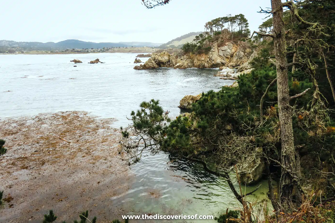
I started with the Cypress Grove Trail, and it’s still one of my favourite parts of the loop. Why? Because you get to see the rare Monterey cypress (Cupressus macrocarpa) in the wild: the grove here is one of only two natural stands of the tree left anywhere (the other is at Cypress Point in Pebble Beach).
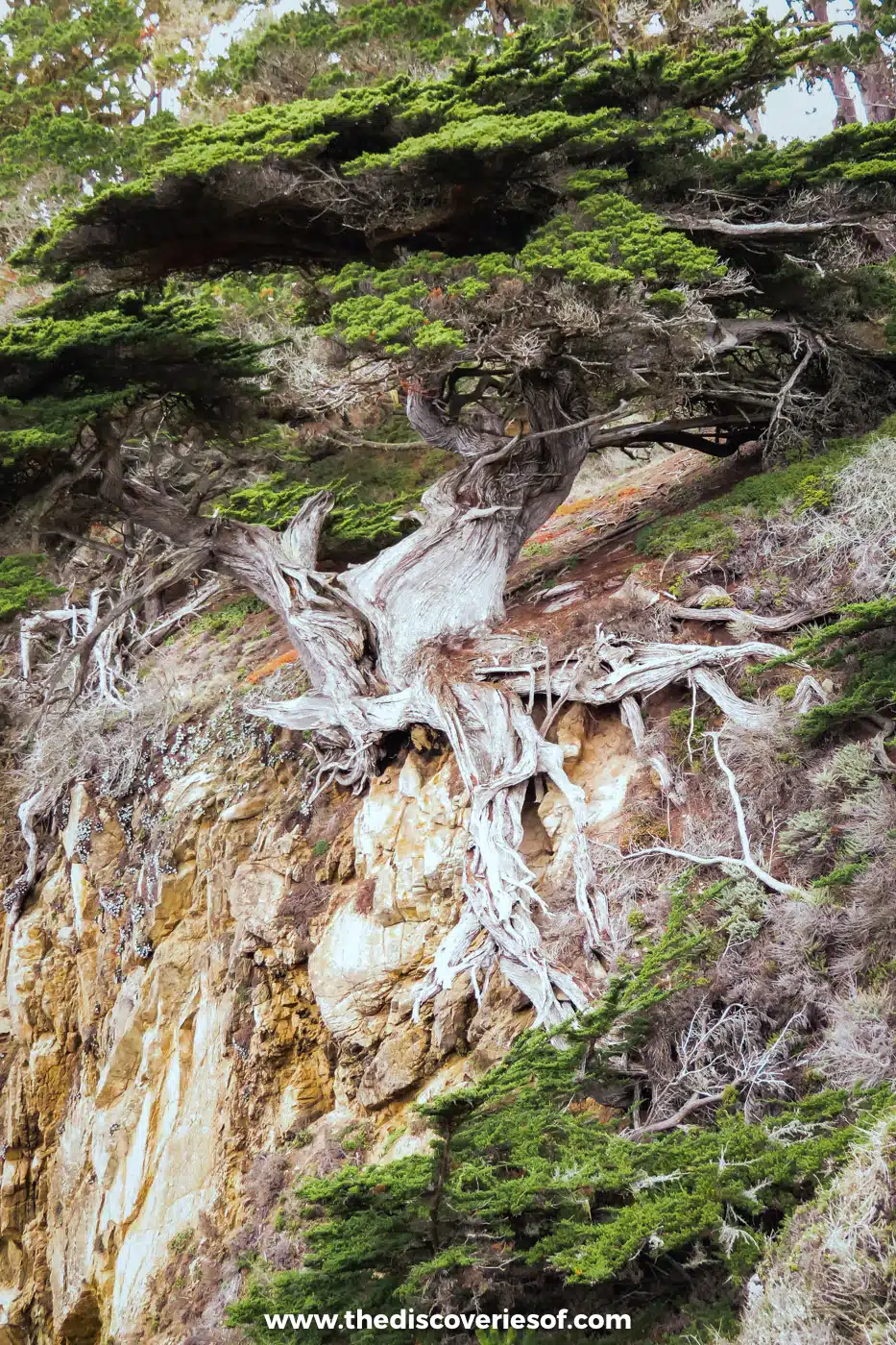
I loved the view of the ocean through the trees, and there are some pretty clumps of lace lichen along the trunks to admire as well. It’s California’s official state lichen. The spring wildflowers are gorgeous too.
Top Tip
There’s a strict no-collecting policy, even in the marine reserve, so save those grabby hands for the gift shop.
2. Sea Lion Point
0.6-mile loop; 15 to 20 minutes; easy
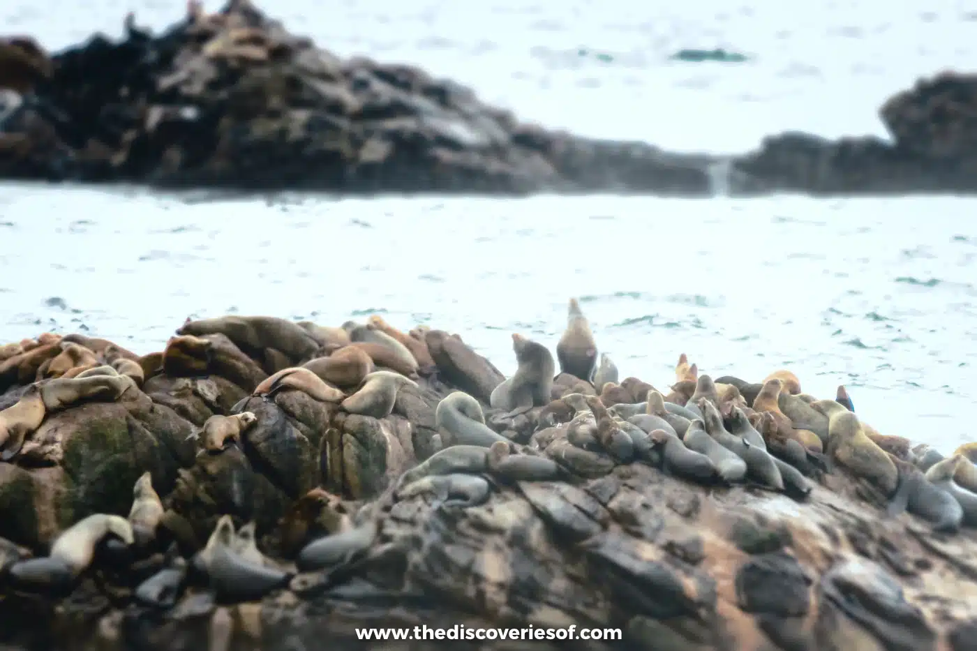
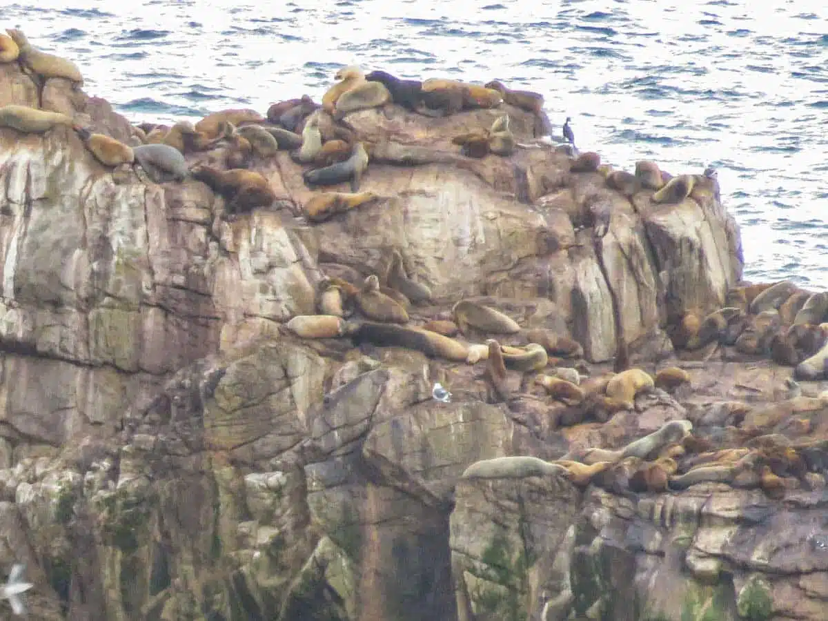
Back at the car park, the Sea Lion Point Trail rounds Sand Hill, with Sea Lion Cove on one side and Headland Cove on the other. You’ll hear the sea lions long before you see them, lazing on the rocks offshore. They gave the place its name: early Spanish visitors called it Punta de los Lobos Marinos, the point of the sea wolves, after their barking.
Top Tip
The best spot for a photo is the viewpoint over Headland Cove and Sea Lion Cove. Bring binoculars too: the sea lions blend into the rocks from a distance.
3. The South Shore coves
1 mile one way; about 30 minutes; easy, with a few rocky, uneven stretches

From the stairs below Sand Hill, the South Shore Trail heads south along the most dramatic stretch of the coast, past a string of small coves and beaches. It’s a favourite with photographers and painters, and once you see the waves slamming against the rocks, you’ll understand why.
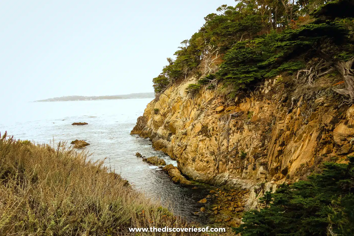
Time it for low tide and stop at Weston Beach, one of the best tide pools on the West Coast, to spot sea stars, crabs, anemones and turban snails. Look but don’t touch.
4. Bird Island
0.8 miles there and back; about 30 minutes; easy (accessible apart from the stairs to Gibson Beach)

The South Shore Trail ends at the southernmost car park, where the Bird Island Trail takes over. It passes China Cove, with its startlingly green water, and the stairs down to Gibson Beach, then curves round Pelican Point to the Bird Island overlook. Brandt’s cormorants nest here in their thousands from April to October, so come in those months for the full spectacle.
5. Back through the pines to Whalers Cove
About 1 mile; 30 minutes; easy to moderate

To turn the walk into a loop, head inland on the South Plateau Trail, which climbs gently from just above Gibson Beach to the entrance station through the Monterey pine forest. After hours of sun and sea wind, the shade of the pine and live oak trees is very welcome, and the woodland is busy with birds. The path is a bit uneven and hilly in places, so careful footing is required, and it runs close to the highway, so it can be noisy at peak times.
From the entrance station, the short Carmelo Meadow Trail drops down to Whalers Cove.
Top Tip
If you have energy to spare, add the Granite Point Trail from the Whalers Cabin, 1.3 miles there and back along the bluff to the windswept rocks of Granite Point, with views over Carmel Bay to Pebble Beach. The Pit, a little cove on the way, is a favourite spot for herons and harbour seals.
6. The North Shore back to the start
1.4 miles; 1 hour or more with the spurs; moderate, the toughest stretch of the loop

The North Shore Trail is the finale, running from Whalers Cove back to the Sea Lion Point car park along the cliffs. Expect rocks, tree roots and stairs, which feel harder at the end of a long day, but the views between the trees make up for it. You’ll pass Bluefish Cove, Cypress Cove and the granite hump of Big Dome, and a short spur leads to the Old Veteran, a cypress over 200 years old clinging to the cliff face.
For the best view in the reserve, add the short climb up Whalers Knoll (about 180 feet), where whalers once watched for spouts. Then it’s back to the car park where you started, with the sea lions still shouting below.
Only got an hour?
You don’t need a whole day to enjoy Point Lobos. These are the best short walks, all of them stretches of the loop:
- Sea Lion Point and Cypress Grove: both start at the Sea Lion Point car park and take under an hour together. If you only do one thing here, do this.
- Bird Island: a 30-minute round trip from the southernmost car park, with China Cove and the cormorants.
- The South Shore: walk as far as Weston Beach at low tide and come back the same way.
Beyond the trails: tide pools, dives and a whalers’ cabin
- Tide pools: Weston Beach on the South Shore is the best, Moss Cove the quietest. Go at low tide and look but don’t touch.
- Diving at Whalers Cove: certified divers can explore the kelp forests of Whalers and Bluefish Coves with a reservation ($20 on weekdays, $30 at weekends); kayaks and paddleboards need one too.
- The Whalers Cabin: Chinese fishermen built this cabin in the 1850s, and it now tells the cove’s story as a fishing camp, whaling station and cannery. It opens roughly 9am to 5pm, as staffing allows.
- Whales and otters: grey whales pass from December to April, and sea otters float in the kelp all year. Docents at the information station lend out binoculars.
Parking, fees and the rules to know before you hike
- Hours and fees: 8am to 5pm, with no entry after 4.30pm. Day use is $10 per car, and walking in is free. Vehicles over 21 feet can’t enter.
- Parking: the 150 spaces inside fill fast, so arrive before 9.30am, especially if you plan to walk the full loop. Otherwise, use a legal pull-out on Highway 1 (shoulder parking is ticketed) and walk in. A shuttle and reservation scheme is being planned, so check before you go.
- After storms: heavy rain still closes paths, so ring the reserve on 831 624 4909 after bad weather.
- Leave the dog at home: dogs aren’t allowed anywhere in the reserve, not even in the car.
- Wildlife: it’s mostly harmless. Mountain lions and coyotes sometimes pass through, but you’ll mostly see ground squirrels. Keep your distance and never feed anything.
- Wear the right shoes: there are a handful of rocky paths and slippery slopes, and six miles is a long way in the wrong footwear. I highly rate these hiking boots. Or, if you’re looking to venture closer to the water, these waterproof hiking trainers are ideal. For the rest of your kit, see my hiking packing list.
Map
Read next
Love this? Save and share on Pinterest

Discover the top things to do, insider tips and hidden gems in our USA Travel Guides.
Read the guides →